
- Home
- Courses and exams
Courses and practical exams
We run on-demand courses for teams taking up drones: Open-category flying, photogrammetry, an introduction to LiDAR and preparation for the standard scenarios. In French Guiana we also hold the practical exam that completes the CATS. Every programme starts from your missions and your equipment.
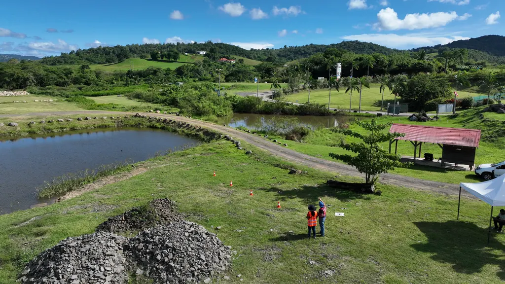
Courses built around your work
Local authorities, public bodies, emergency services, companies: each course is organised for one group, at its request. Before we set the programme, we go over the number of people, their level, their missions and the equipment they have; your drones can be used in the exercises.
Our advice: start from what you actually need to do. Since the reform of 1 January 2026, most everyday professional missions can be flown in the Open category with the A1/A3 and A2 certificates; we only prepare the standard scenarios and the CATS when the mission requires it, for instance a flight beyond visual line of sight.
- Session reserved for your team, dates set with you
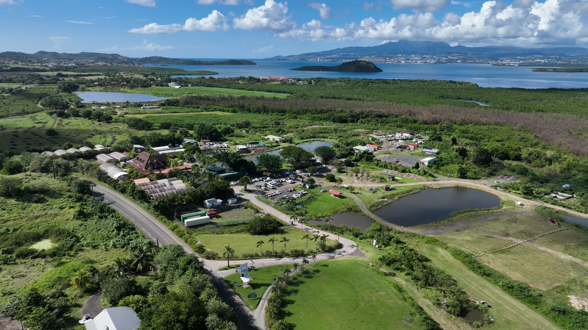
- In Kourou and on the Matiti field in French Guiana, at Trois-Îlets in Martinique, or on your own sites
- Final half-day devoted to your own use cases
- Certificate of attendance for each participant
Modules
Each course combines several modules depending on your line of work.
Open category
Up-to-date regulations, the A1, A2 and A3 subcategories, tropical weather, human factors, French Guiana and Martinique airspace, AlphaTango registrations and the pre-flight checklist; A2 online course and exam alongside.
Photogrammetry
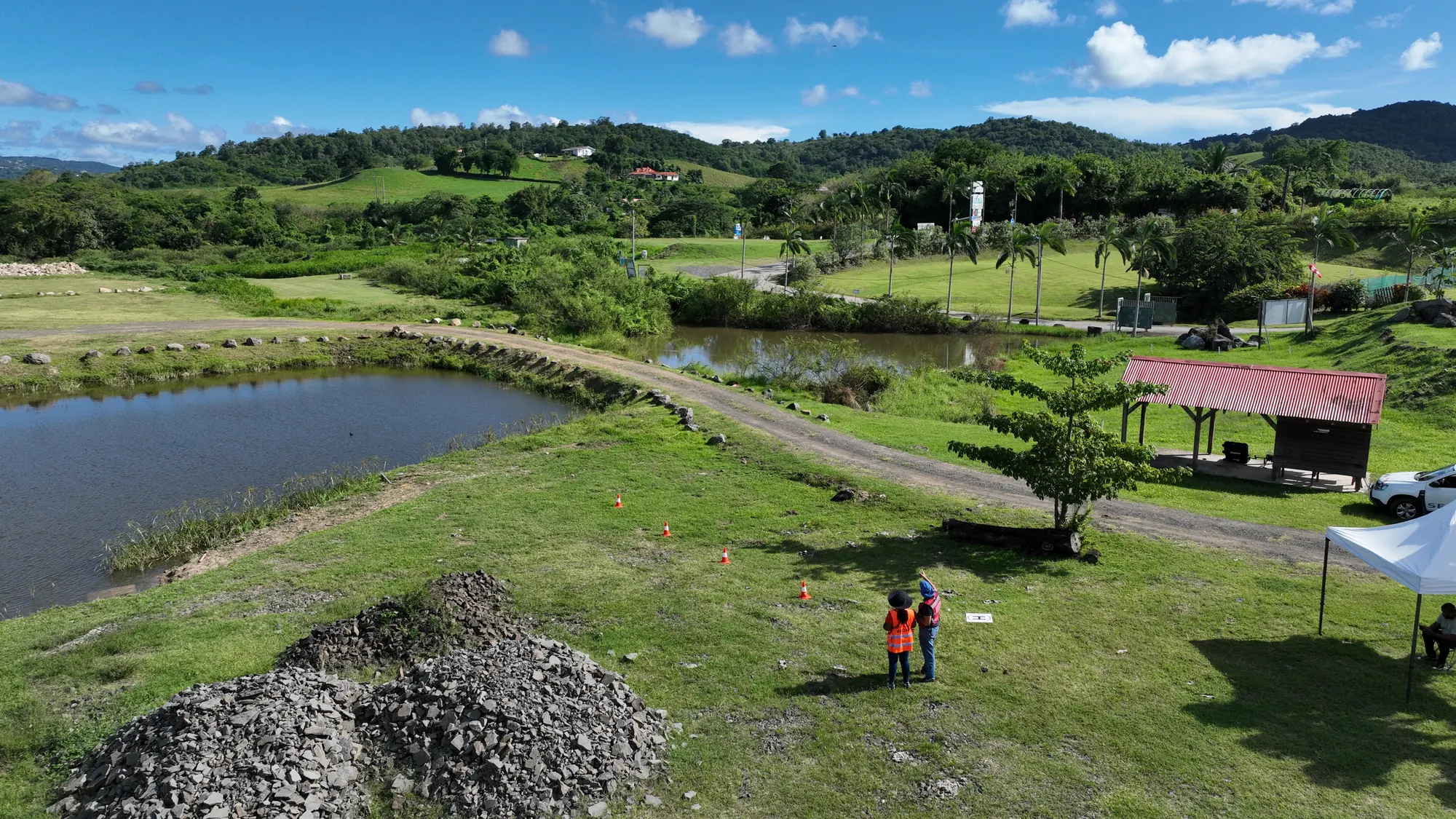
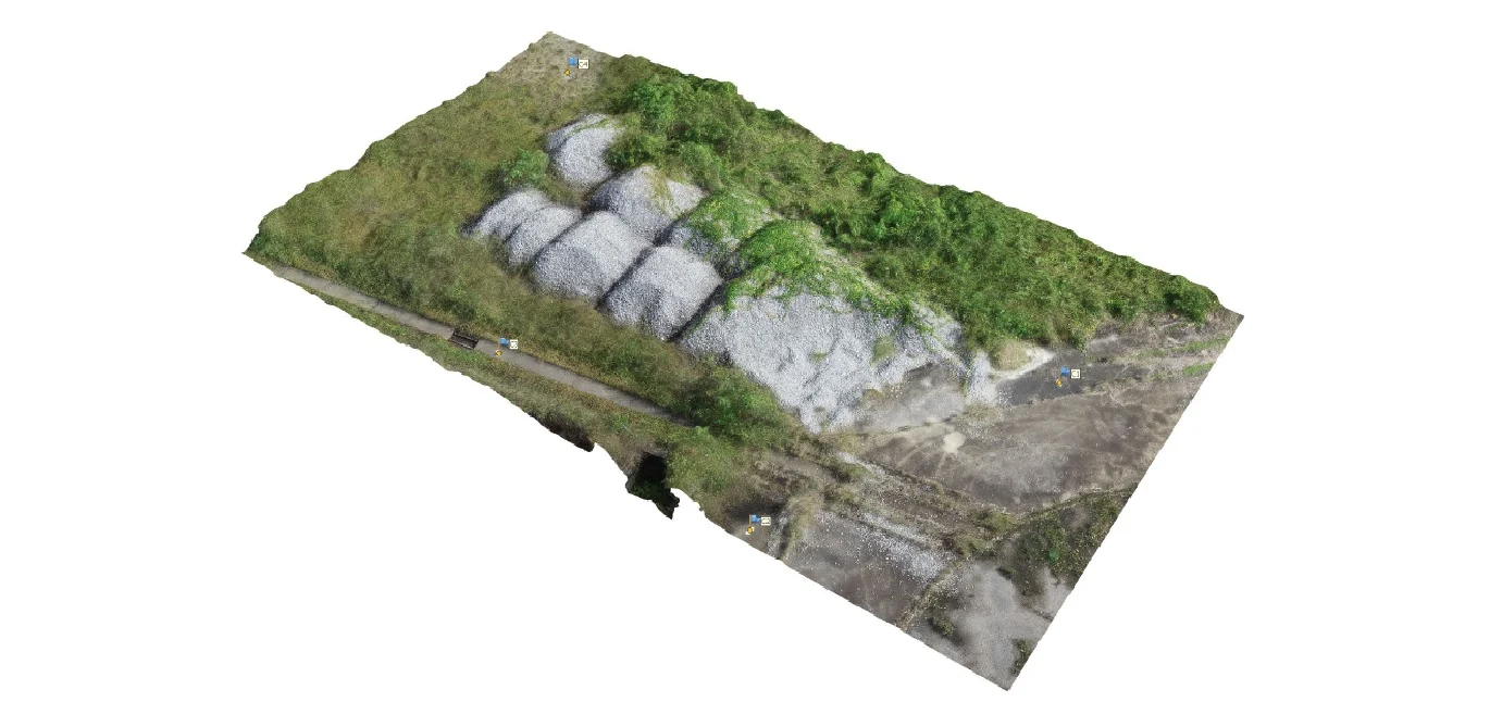
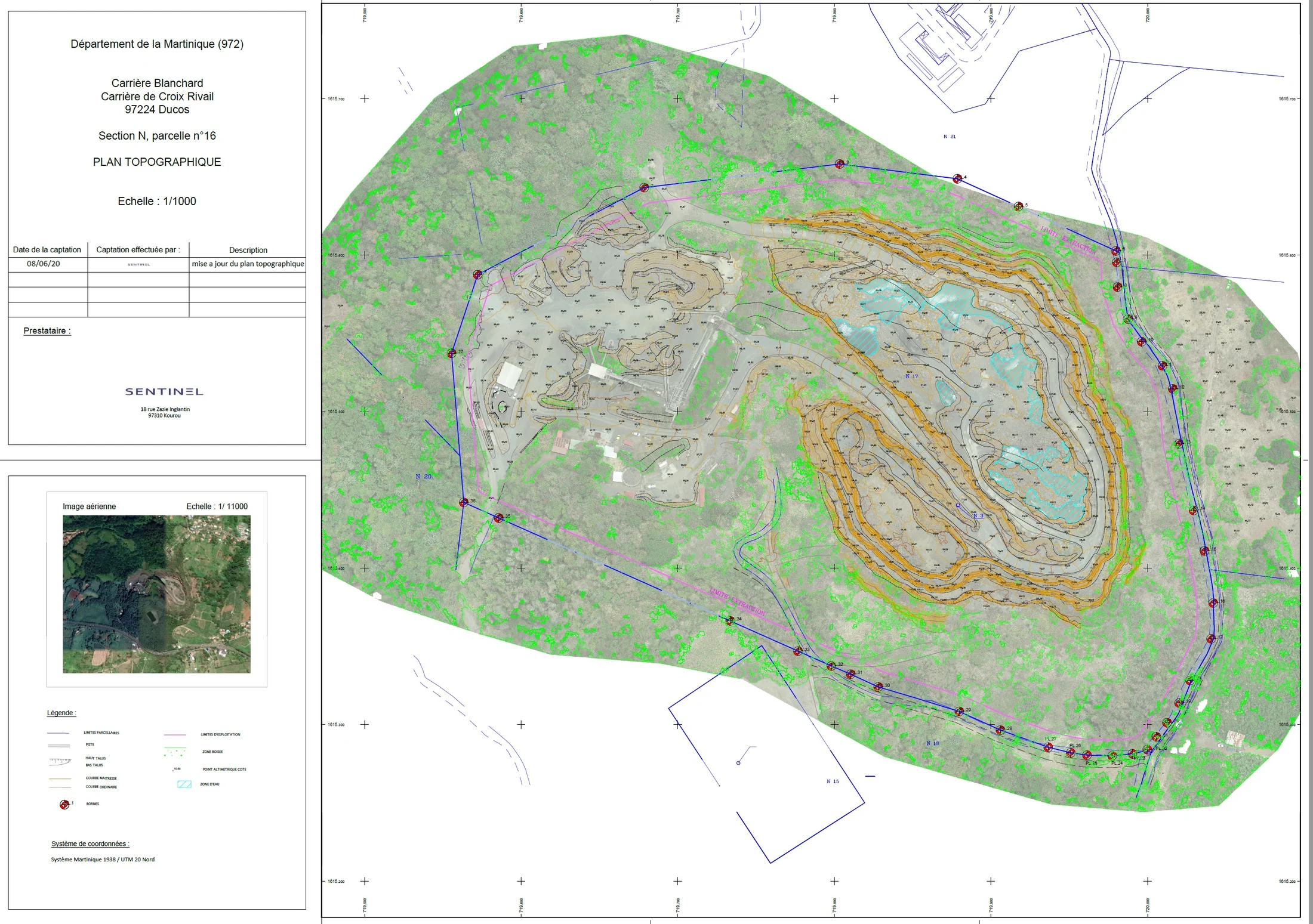
Three mission simulations: an orthophoto, a response to a client specification, then a quarry survey with ground control points, contour lines, a plan in QGIS and a flood simulation in Global Mapper. Processing in Agisoft Metashape on each trainee’s own computer.
Thermography
Using drone-mounted thermal cameras: choosing the flight window, settings, reading temperatures and spotting anomalies, with cases drawn from our photovoltaic plant inspections.
Introduction to LiDAR
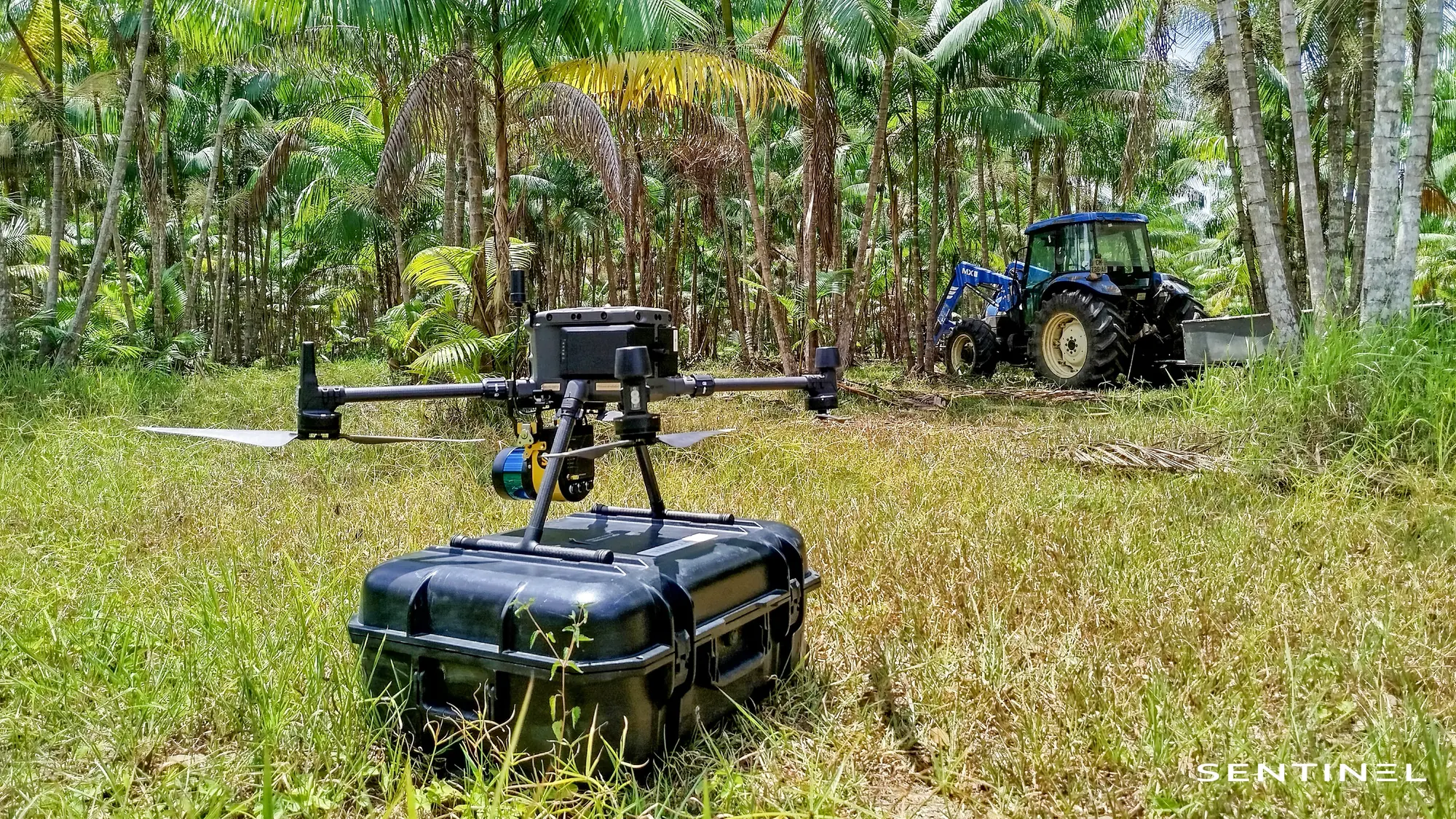
How airborne LiDAR works, capture with our scanner, point-cloud processing, ground classification and digital terrain model.
French Guiana airspace
The Cayenne Félix-Éboué control zone, restricted and temporary areas, aeronautical information, daylight flying hours and authorisation requests. Scenario exercises on Guianese cases (a quarry, Matoury, Rémire-Montjoly, Saint-Georges, Saint-Laurent-du-Maroni): paperwork, briefing, radio call to the tower.
CATS practical exam
The candidate prepares and sits the CATS theory exam online; we then run the practical half-day: flights with our fleet, a regulatory refresher, then the flight assessment and the practical competence certificate.
Recent courses and exams
A selection of courses and exams held since 2025, with their actual length.
| CATS practical exam for two firefighters of the French Guiana fire and rescue service, Matiti, August 2026 | 1 morning |
|---|---|
| Open category (A1/A3, A2) and photogrammetry course for SAFER de Guyane, four trainees, Kourou, July 2026 | 4 days |
| Photogrammetry and A2 subcategory course for two staff of the Espace Sud urban community, Martinique, June–July 2026 | 4 days |
| Online preparation for the A2 exam for two staff of the Savanes community of municipalities, French Guiana, July 2026 | Online |
| Photogrammetry course for three drone pilots of the Martinique regional authority, October 2025 | 3 days |
| Drone-pilot course and exam for the National Forests Office in Martinique, September 2025 | 2 weeks |
| Photogrammetry course for four CACEM staff and an engineer from the sugar cane technical centre, Martinique, August 2025 | 3 days |
| Photogrammetry course for three French Guiana companies (digitisation, logistics, mining), August 2025 | 3 days |
Reference
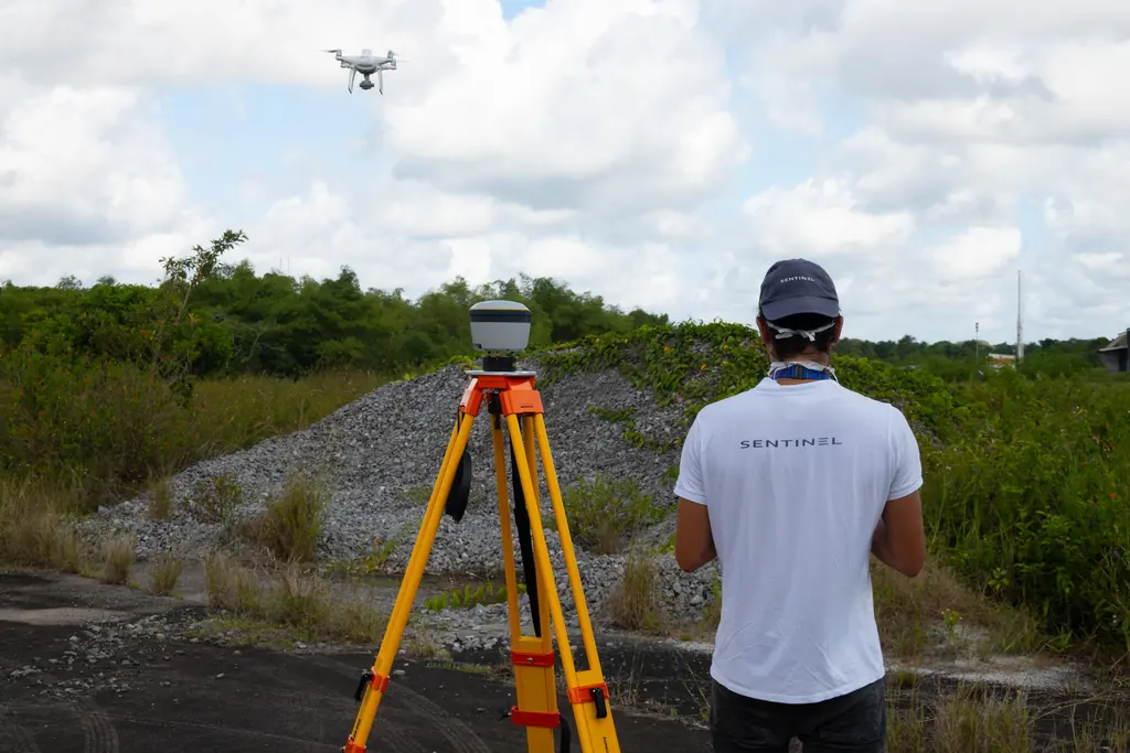
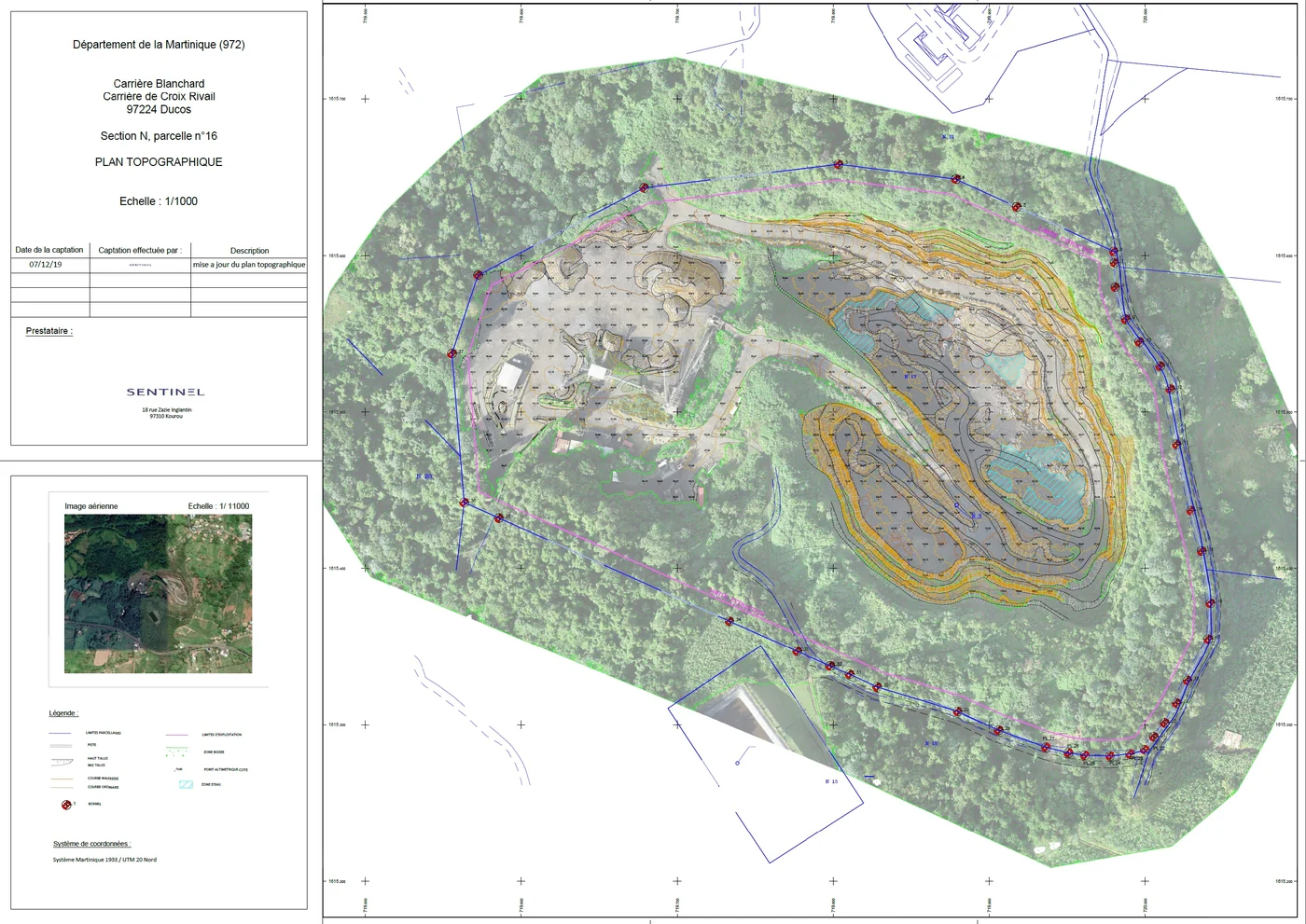
SAFER de Guyane, Kourou, July 2026
SAFER de Guyane is taking up drones for its topographic surveys. We organised a four-day session for four trainees, from 6 to 9 July 2026: Open category (A1/A3 and A2), with the A2 online course and exam alongside, then photogrammetry through to processing in Agisoft Metashape, QGIS and Global Mapper. For the flight exercises, the agency offered one of its plots at Wayabo, and we obtained flight authorisation for 8, 9 and 10 July. Each trainee received a certificate of attendance and a practical competence certificate.
Regulatory support
We also help services bringing drones in-house to stay compliant: choosing the category and, where needed, the scenarios, writing the operations manual (MANEX), and the first flight authorisation requests in French Guiana and Martinique.
We wrote the operations manual of a Martinique urban community in 2025, then that of the National Forests Office in Martinique in 2026.
Gallery
A programme for your team
Tell us how many people, their level, your missions and your equipment: we will send you a programme and a quote.
97310 Kourou
French Guiana
Route des Trois-Îlets
97229 Les Trois-Îlets
Martinique
Centro, 20030-041 Rio de Janeiro – RJ
Brazil
Frequently asked questions
Do you issue a diploma?
No. Each participant receives a certificate of attendance. The A1/A3 and A2 certificates and the CATS are obtained through theory exams taken online; after the practical exam, we issue a practical competence certificate.
Do you run courses for a single person?
Our courses are organised for groups, at the request of a local authority, a public body or a company. An independent pilot can, however, take the CATS practical exam with us after passing the theory exam online.
Can the courses be funded through the CPF or an OPCO?
No. Our courses are invoiced directly to the local authority or company that orders them; they are not eligible for CPF or OPCO funding.
Do you need the CATS to work with a drone?
Not necessarily. Since 1 January 2026, flights over public space in built-up areas can be authorised in the Open category for professional use, after prior notification. With the A1/A3 and A2 certificates, most everyday missions stay in the Open category; the CATS is only needed for operations that fall under the standard scenarios.