
- Home
- Services
- Structural inspection
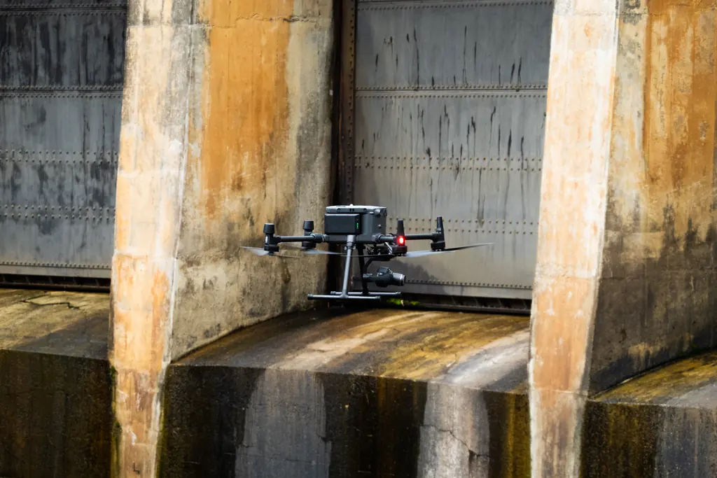
Drone inspection of structures
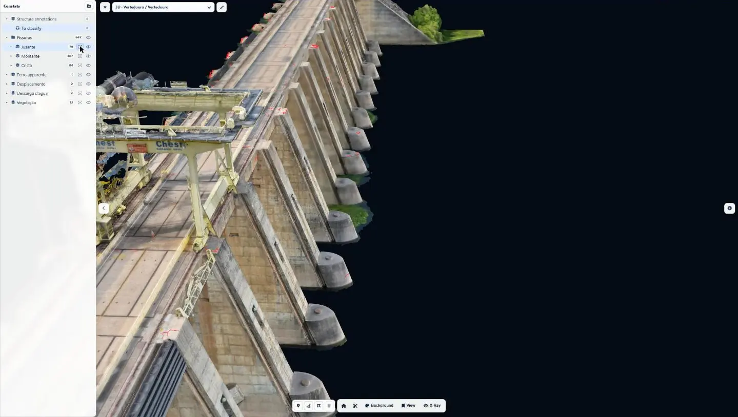
We record the condition of your structures without cherry pickers or scaffolding: georeferenced images down to 0.5 mm per pixel, a 3D model, located and measured defects.
What we inspect
The drone reaches high areas, faces and exposed zones in a few hours, without stopping operations. Because surveys are georeferenced, each defect is found at the same position from one campaign to the next.
Hydraulic structures and bridges
Dams, spillways, bridge piers, quays: cracks, spalling, exposed rebar.
Buildings
Façades, roofs, gutters, lifelines, anchor points and welds.
Networks, pylons and antennas
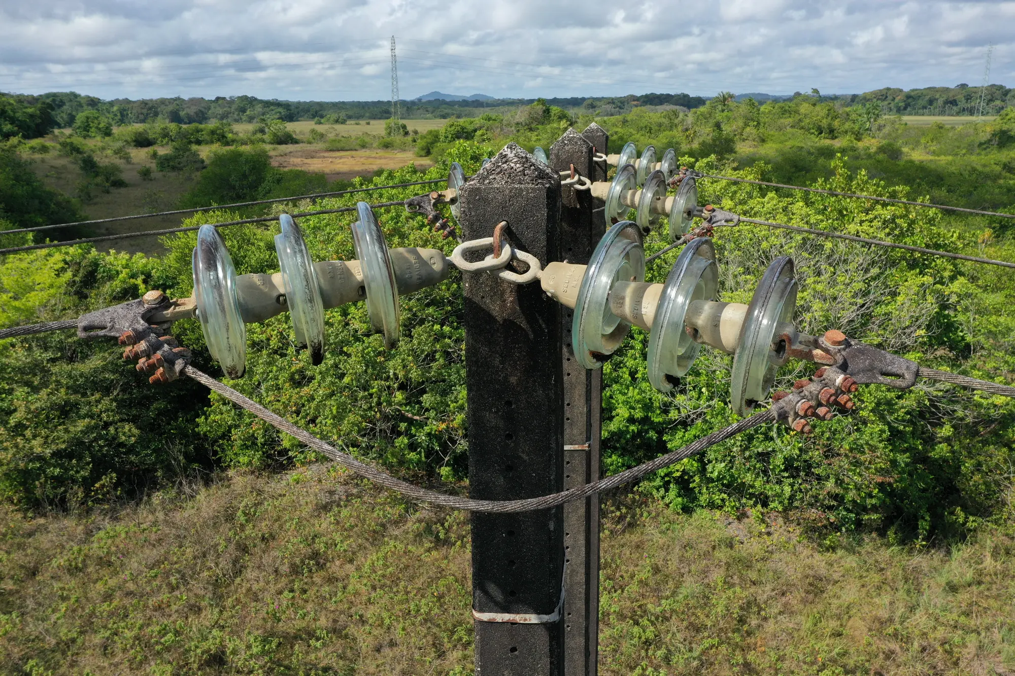
Power pylons, insulators, telecom masts and antennas.
Industrial and port sites
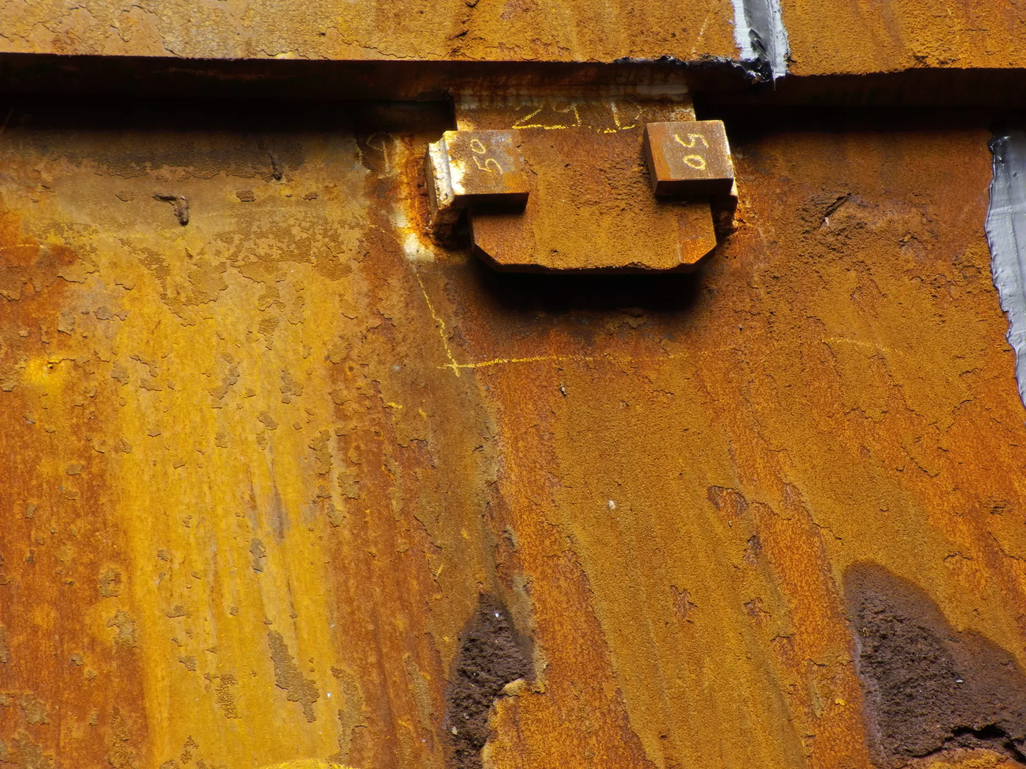
Steel structures, corrosion, verticality of pylons and structures.
Method
From a one-off visual inspection to a digital twin monitored over time.
- 01
Automated capture
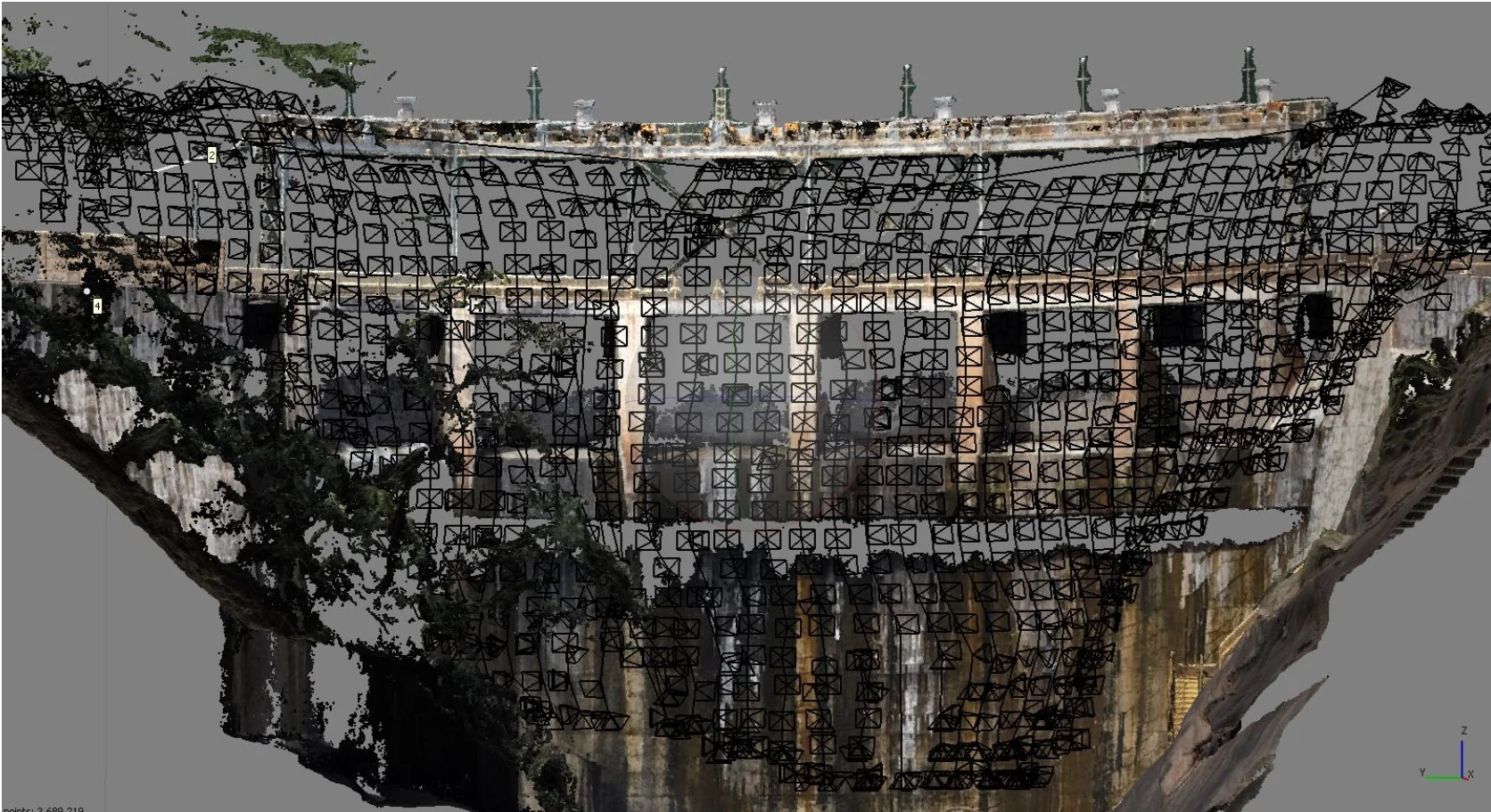
The drone follows a 3D path computed from the geometry of the structure, in visible or infrared, with constant overlap.
- 02
Processing
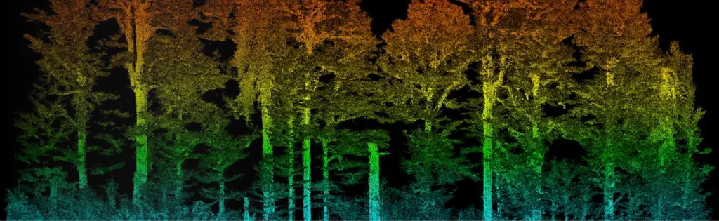
Point cloud, 3D model, digital surface model, orthomosaics and ortho-façades.
- 03
Detection and analysis
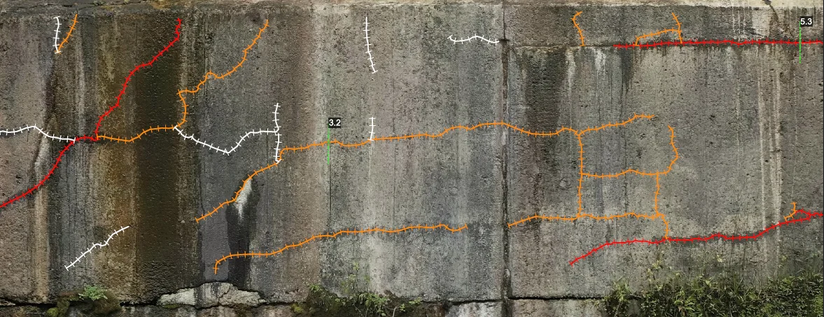
Locating, measuring and classifying defects: cracks, corrosion, spalling, leaks.
- 04
Comparison
From one campaign to the next, defects are tracked to measure deterioration and prioritise repairs.
Case study
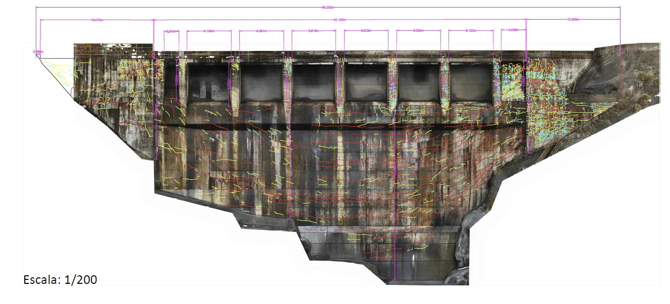
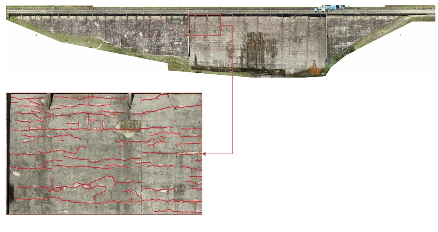
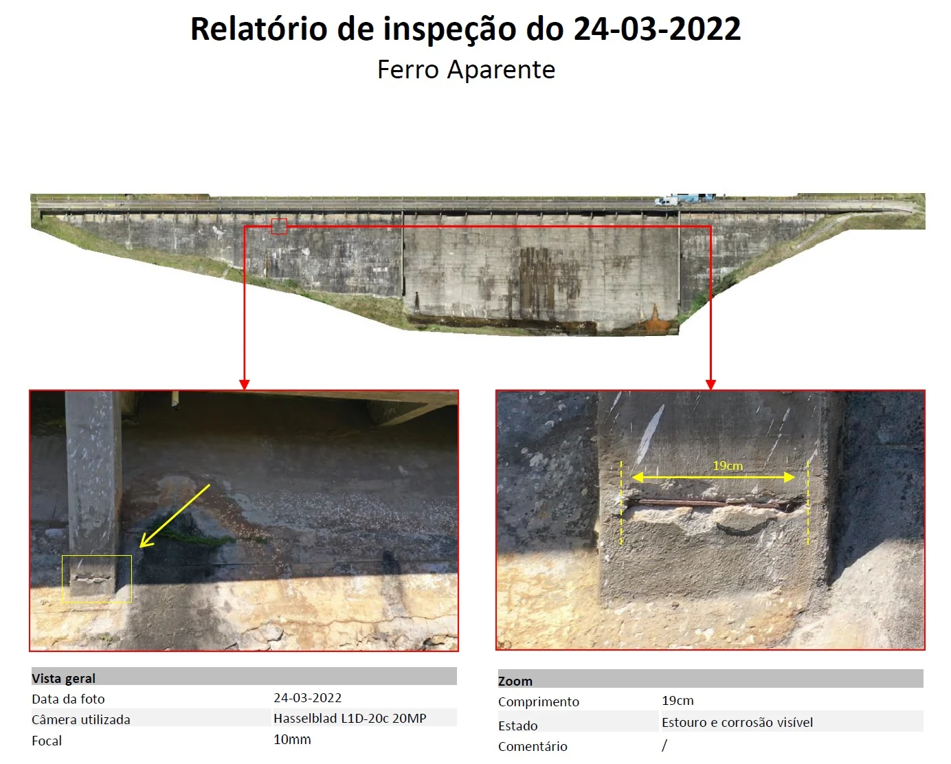
Peti dam, Brazil: four crack-monitoring campaigns
Every year since 2022, the faces of this 46 m arch dam have been photographed from 5 or 6 m away and reprojected onto the same face orthophotos. The baseline counts 4,052 cracks; later campaigns only trace those that appear or lengthen: 22 in 2023, 4 in 2024, 6 in 2025.
Other inspections
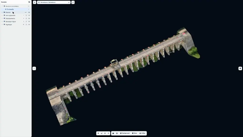
Hydroelectric plant on the São Francisco river: 2,492 anomalies mapped in three days on site
Baseline survey of a hydroelectric plant on the São Francisco river, in the state of Bahia: 11,809 photos in 33 flights, 9 orthophotos totalling 46 gigapixels, two 3D models, a virtual tour and a web interface for the operator’s engineers.
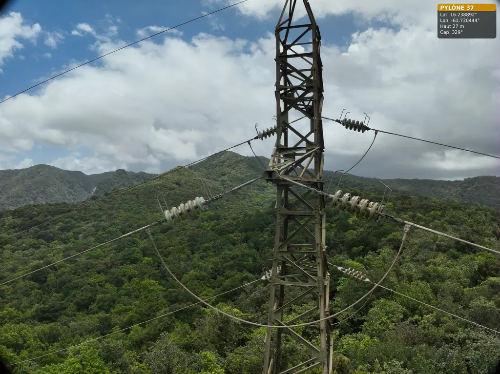
63 and 90 kV lines: three pylons in the Guadeloupe rainforest, five wooden poles in French Guiana
For Omexom, in June and July 2026: three 63 kV pylons in the Guadeloupe national park, then in French Guiana a fault check after an outage and five wooden supports of a 90 kV line.
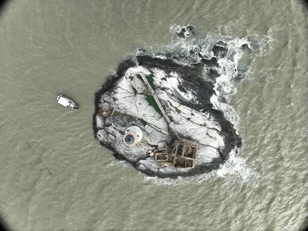
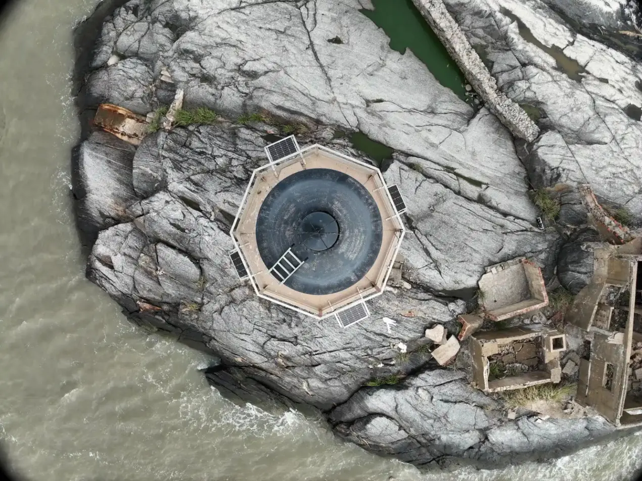
The Enfant Perdu lighthouse, inspected from a boat
On 9 December 2025, for the Lighthouses and Beacons unit of DGTM, photographic coverage of the lighthouse and its islet, with the drone taking off from a boat that stayed offshore. In March 2024 we had photographed the Île Royale lighthouse for the same department.
Deliverables
From raw data to full analysis, depending on your maintenance needs.
| Georeferenced photos and videos | JPEG, MP4 |
|---|---|
| Orthomosaics and ortho-façades | GeoTIFF |
| Point cloud | LAS, LAZ |
| 3D mesh model | OBJ |
| Defect mapping and classification | DWG, PDF |
| Inspection report | |
| Online viewing space | Sentinel Cloud |
Gallery
Frequently asked questions
What resolution is needed to detect a crack?
On dam faces we fly 4 to 6 m from the wall to reach 0.7 to 1 mm per pixel. A crack can be spotted by contrast well below the pixel size, but its opening can only be measured reliably above it. On concrete test blocks, photographed from 40 cm, we go down to 0.15 mm per pixel.
Do operations have to stop during the inspection?
No. Flight plans are approved with the operator and the drone keeps its distance from the installations: in Juquiá as in Bahia, the plants kept producing. The real constraint is the spillway gates: when they open, the downstream face is wet and we have to wait.
How do you compare two campaigns?
Each year the photos are reprojected onto the same face orthophotos, registered on points identified on the structure: GNSS alone is not enough to overlay two campaigns to the millimetre. On this common base, we only trace cracks that appear or lengthen.
What do you receive at the end of the mission?
The face orthophotos and the 3D model, the defect mapping in shapefile or DWG with a naming scheme by zone, an inspection report and, if you wish, access to Sentinel Cloud to view each defect with its length, position and type.
Do you work in Brazil?
Yes, through our company Sentinel Imagens e Soluções in Rio de Janeiro: the Peti dam in Minas Gerais since 2022, a hydroelectric plant in Bahia in 2025, the Juquiá complex in the state of São Paulo since 2026, with the clearances required on electrical sites (NR-10, NR-33, NR-35).
Tell us about your project
Location, area or structure, expected deliverables and timing: with these details we can propose a method and a quote.
97310 Kourou
French Guiana
Route des Trois-Îlets
97229 Les Trois-Îlets
Martinique
Centro, 20030-041 Rio de Janeiro – RJ
Brazil