
- Home
- Services
- Surveying and LiDAR
Surveying, LiDAR and photogrammetry
LiDAR measures the ground beneath vegetation; photogrammetry produces a detailed image of surfaces. We choose the method, or a combination of both, according to the site and the required accuracy.
Two complementary methods
Airborne LiDAR
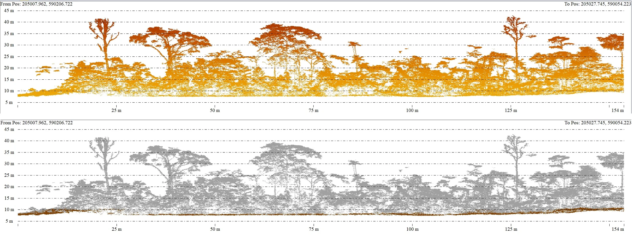
The Zenmuse L3 sensor on our Matrice 400 records several returns per pulse, so the point cloud describes both the canopy and the ground. It is the reference method for a terrain model under forest cover.
- Terrain model under vegetation
- Large areas and hard-to-reach sites
- Corridors, riverbanks, power lines
Photogrammetry
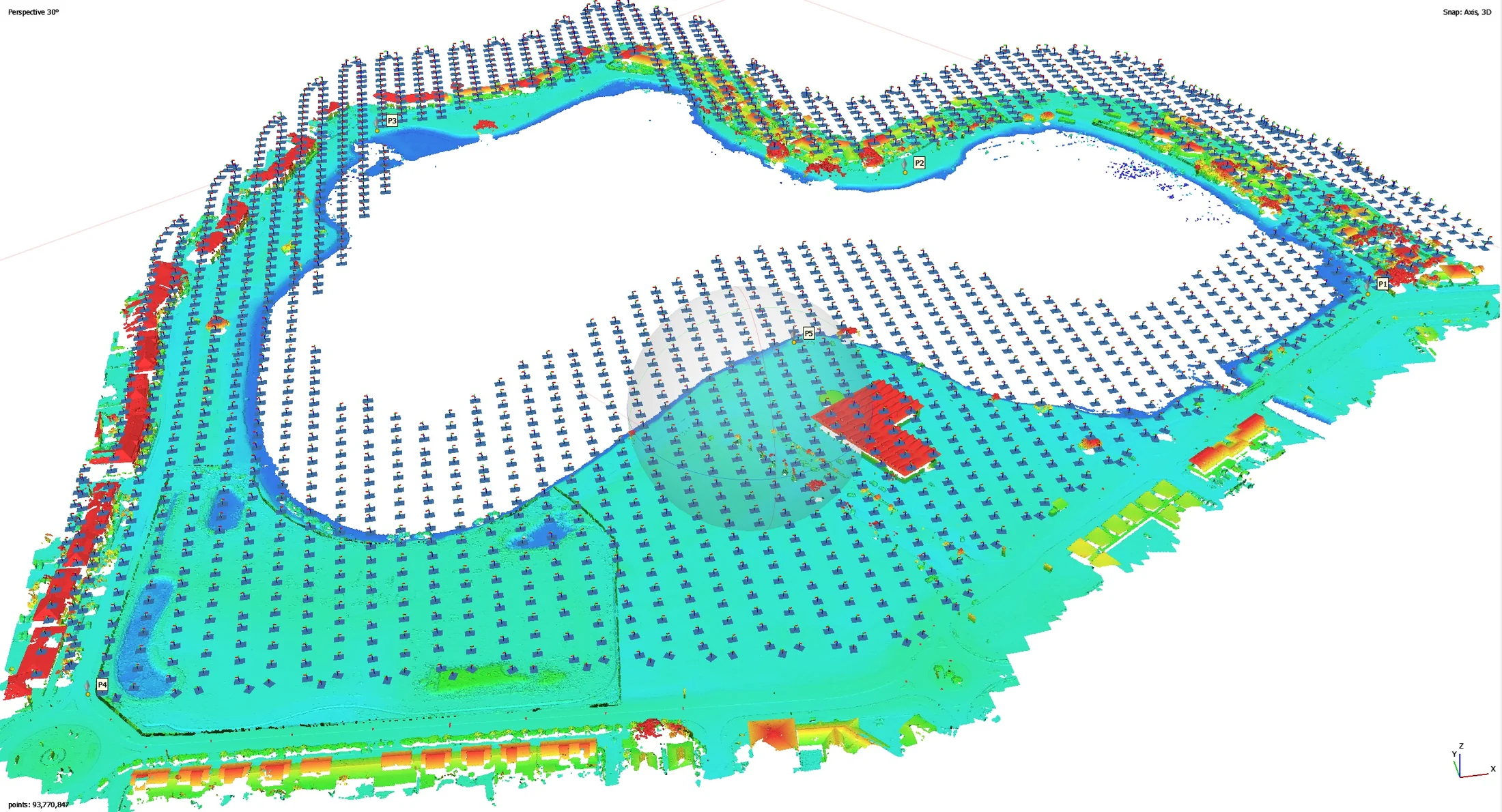
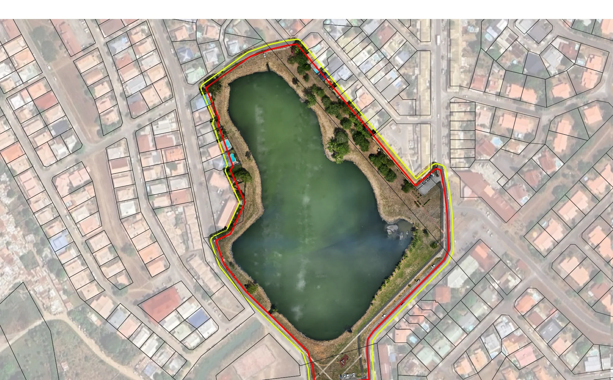
High-resolution cameras produce georeferenced orthophotos and textured 3D models. The method is fast and cost-effective on open ground, in urban areas and for building surveys.
- Orthophotos and textured 3D models
- From a few centimetres down to a few millimetres per pixel
- Volume surveys and stockpile monitoring
From flight to classified point cloud
The film shows a complete mission with the Matrice 400 and the Zenmuse L3: inspection of a high-voltage power line and mapping in dense forest, followed by point cloud processing.
Ground, vegetation and conductor classification, terrain model and contour lines all come from the same acquisition.
Use cases
Topographic studies
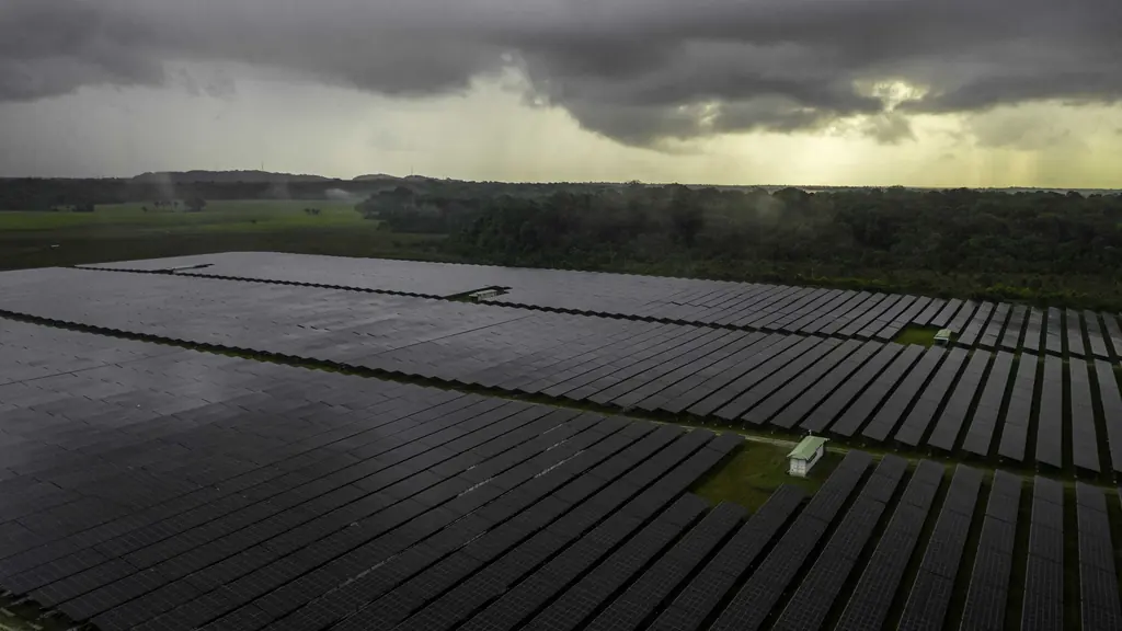
Road projects, urban development, solar plants, power networks.
Hydrology and dams
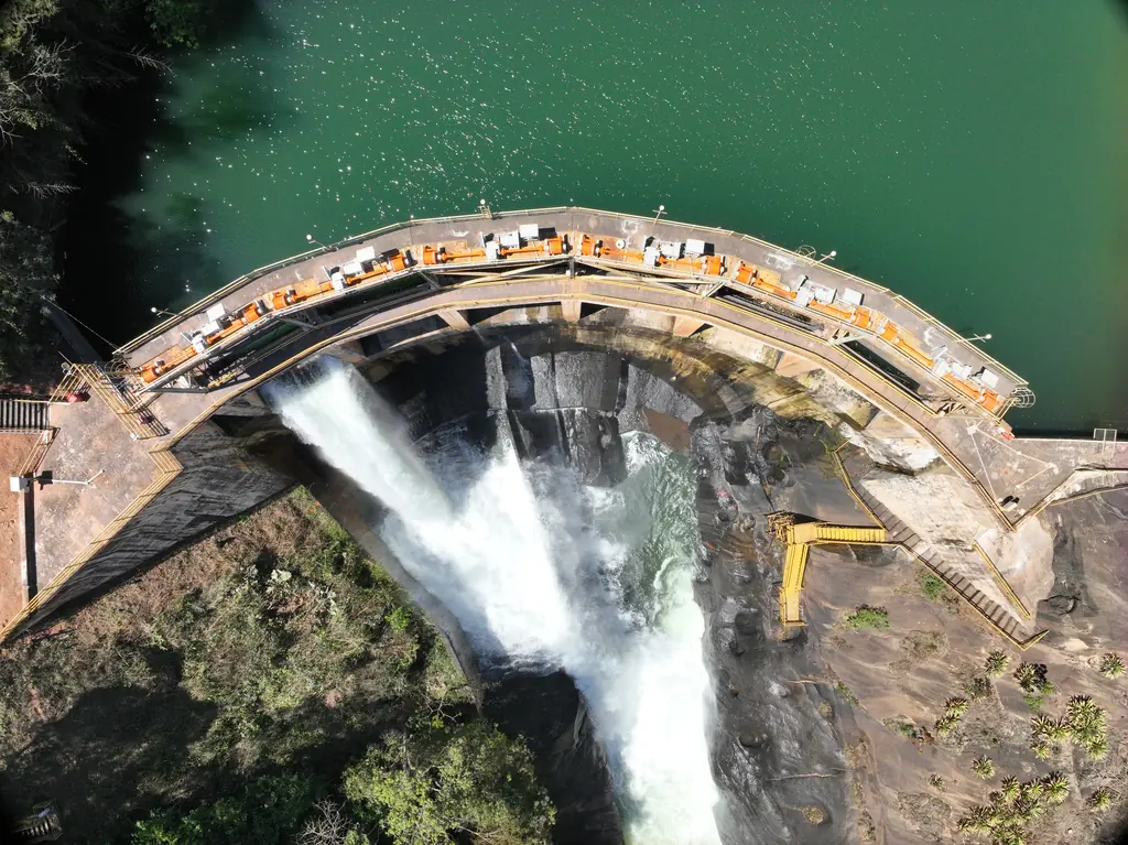
Head heights, reservoir volumes, flood and flow simulation, impact studies.
Geomorphology
Riverbank and coastal erosion, slopes, landslides.
Quarries and stockpiles
Volume surveys, quarry faces, extracted volume tracking.
Forest and environment
Vegetation cover, canopy height, forest monitoring.
Power lines
Modelling of conductors and pylons, vegetation-to-cable clearances.
Case studies
EPFA Guyane: 12,647 hectares of orthophotos
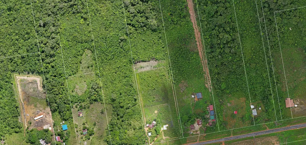
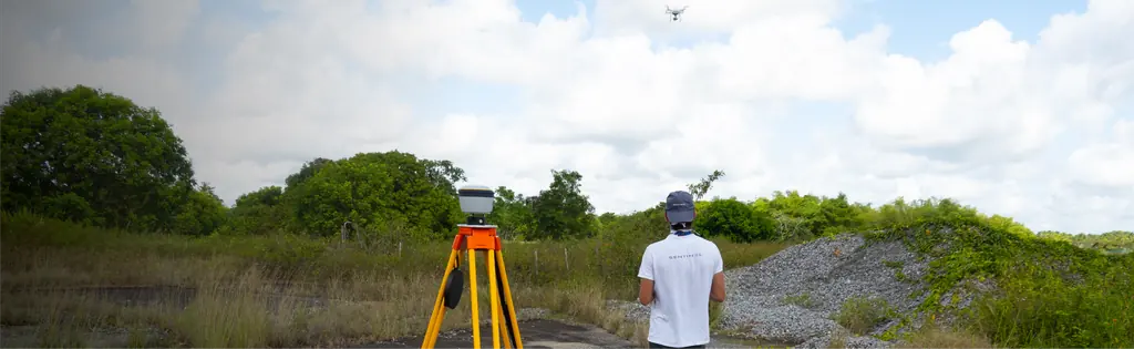
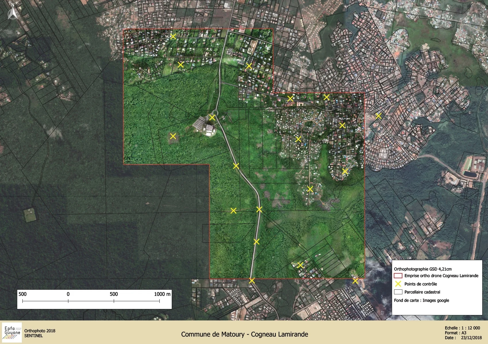
From 4 December 2023 to 1 March 2024, eight sectors from Cayenne to Cacao were photographed at 3.5 cm per pixel for the public land agency. Each sector is adjusted on GNSS-measured ground control points, 50 in all, then verified on 26 independent check points. A second, 6,545-hectare campaign began on 16 October 2026: the first sector, Sud-Bourg in Matoury, was delivered three days later at 3.88 cm per pixel.
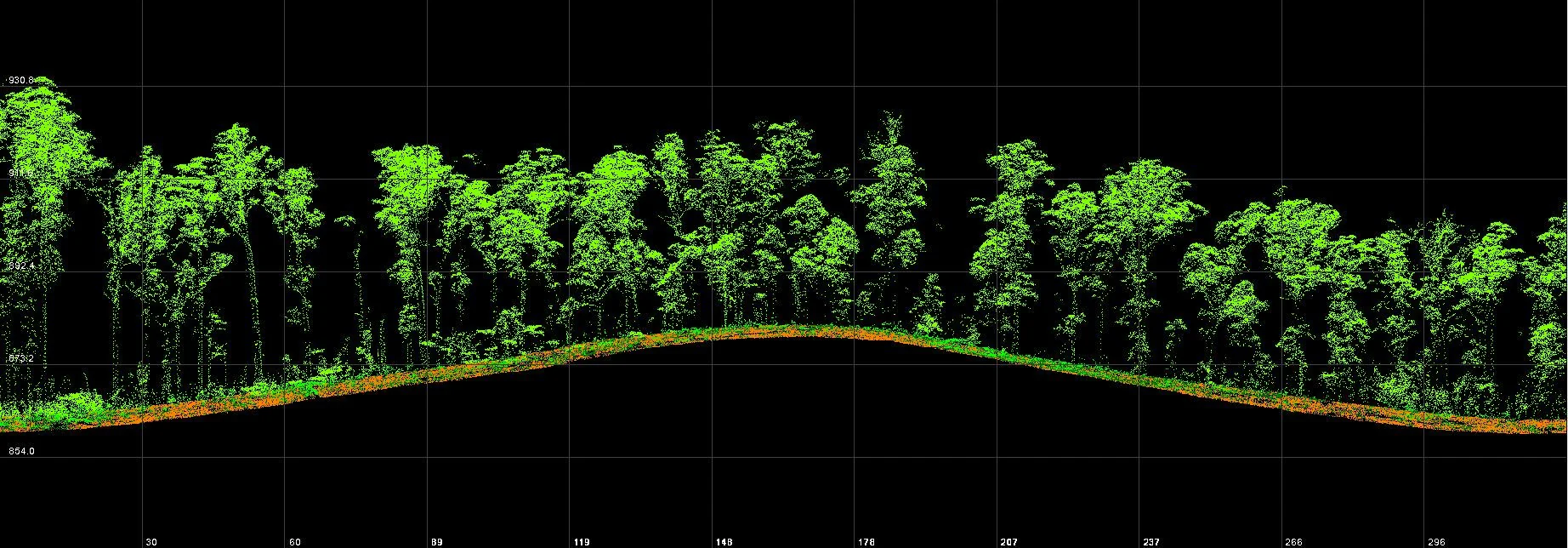
Roy canal, Kaw: 7.7 km of canal in LiDAR
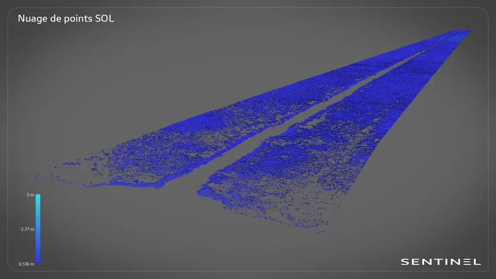
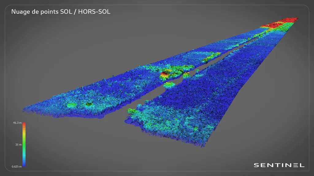
Data was captured from a boat along a forest-lined canal. After classification, the point cloud shows the natural ground on both sides of the canal.
Saint-Élie: 625 hectares of photogrammetry
A complete survey of a town in inland French Guiana, reachable only by air or by dirt track, producing an orthophoto, a digital surface model and a 3D mesh.
Deliverables
Data that your surveyors, engineering teams and GIS departments can use directly.
| Topographic plan | DWG, DXF, PDF |
|---|---|
| Georeferenced, classified point cloud | LAS, LAZ |
| Digital terrain and surface models | GeoTIFF |
| Contour lines and breaklines | DWG, SHP |
| Orthophoto | GeoTIFF |
| Profiles, areas and volumes | PDF, XLSX |
Gallery
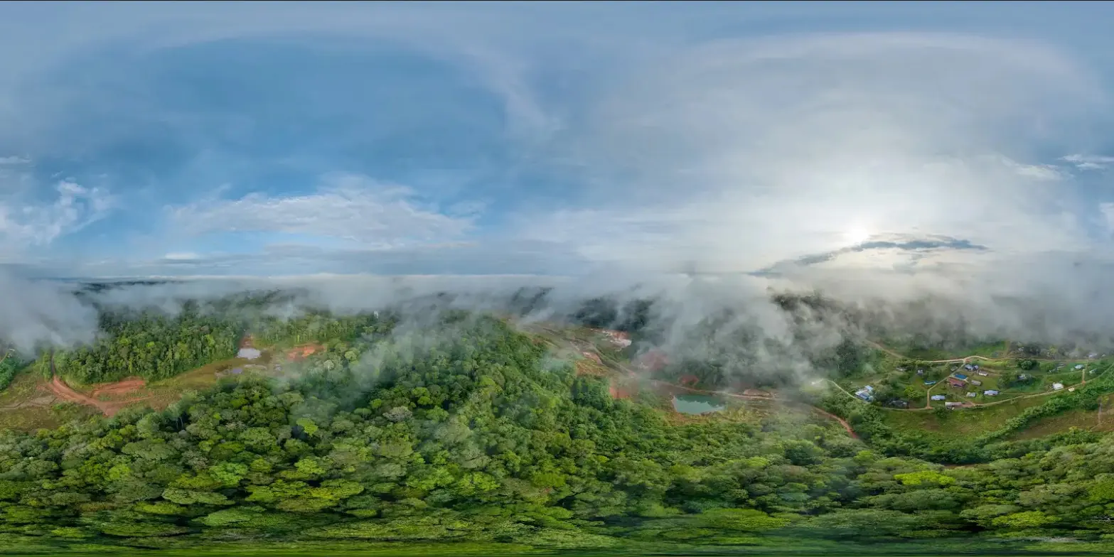

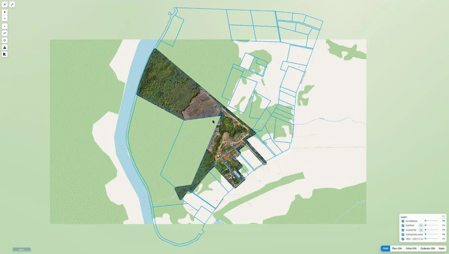
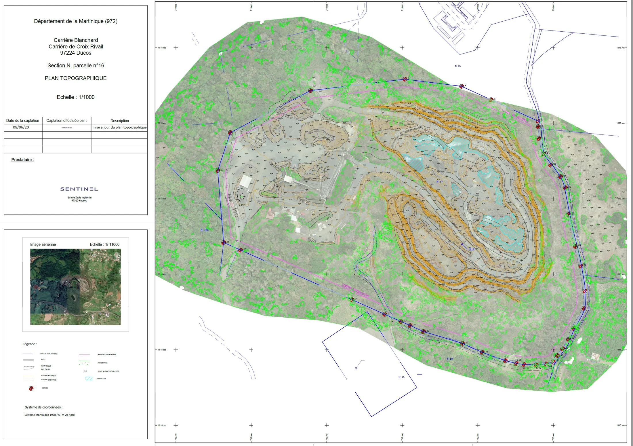
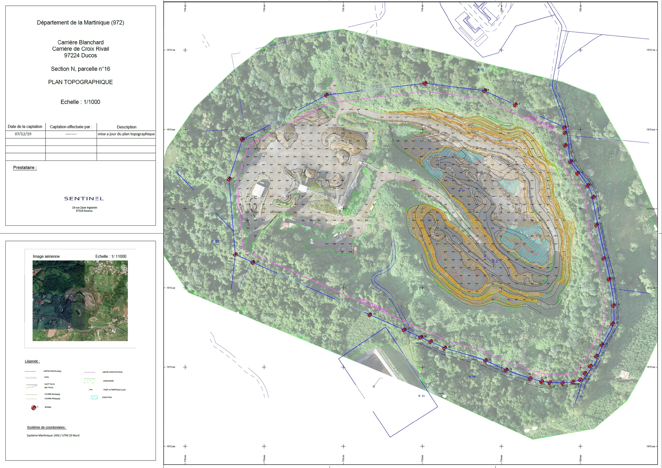
Other projects
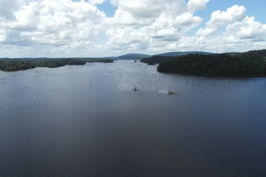
Petit-Saut reservoir: 4,049 emerged stems located and measured by drone LiDAR in one flying day
For a timber company working on the reservoir, we compared five LiDAR configurations and two photographic configurations on a 46 ha test block on 22 October 2026. Every emerged dead tree is located, its height above water measured, and a base diameter obtained for 88 % of them. The client received the GIS layers, the point clouds and a web page to browse, view in 3D and annotate each stem.
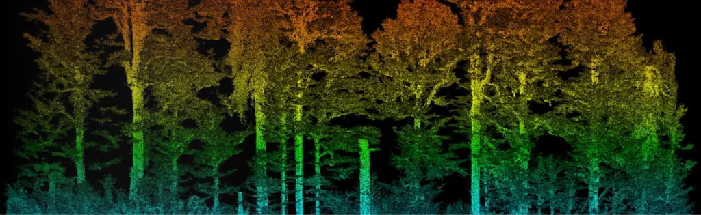
Saint-Jean-du-Maroni: 125 hectares of the relegation heritage by LiDAR
For the regional historic monuments service, a 25 cm terrain model beneath the vegetation of the former relegation camp, surveyed from 23 to 25 October 2024 to prepare the protection order.
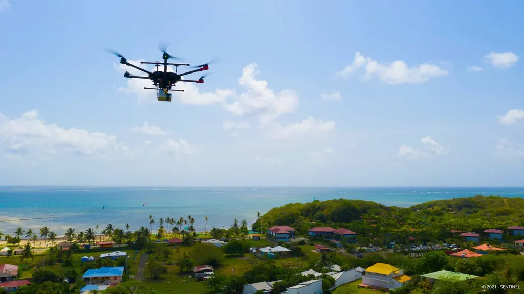
Martinique coastline: three precision surveys, from 1.78 to 3.72 cm
At Pointe des Sables in Le Vauclin and in Saint-Pierre for DEAL Martinique, at the mouth of the Prêcheur river for BRGM during the lahar crisis: three orthophotos whose accuracy was measured on independent targets, delivered between one and five days after the flights.
Frequently asked questions
LiDAR or photogrammetry?
Photogrammetry is enough on open ground and produces a very detailed orthophoto. Under vegetation, only LiDAR reaches the ground: in Saint-Jean-du-Maroni the specifications required at least 25 points per square metre on the ground. We often combine both in the same flight or mission.
What accuracy do you achieve?
With control and check targets measured by GNSS, our reports show a few centimetres horizontally: 1.8 cm on the Saint-Pierre coastline, 3.6 cm at Pointe des Sables in Le Vauclin, 3.7 cm at the mouth of the Prêcheur river.
And without a reference station nearby?
We record the drone’s raw data and recompute its positions by post-processing, using the permanent GNSS network or a base set up on a known benchmark. That is how we worked in Saint-Élie, on the upper Maroni and on the Brazilian dams.
In which systems and formats do you deliver?
RGFG95 / UTM 22N and NGG77 in French Guiana, RGAF09 / UTM 20N and IGN87 or IGN88 in the Caribbean, SIRGAS 2000 in Brazil. Orthophotos in GeoTIFF, ECW or JP2, point clouds in LAS, models in GeoTIFF or ASC, plans in DWG and PDF.
What areas can you cover?
From a few hundred square metres to several thousand hectares: 12,647 hectares for the French Guiana land agency in 2023-2024, 327 hectares in Jarry in one week of flights, 6,545 hectares under way since October 2026.
Tell us about your project
Location, area or structure, expected deliverables and timing: with these details we can propose a method and a quote.
97310 Kourou
French Guiana
Route des Trois-Îlets
97229 Les Trois-Îlets
Martinique
Centro, 20030-041 Rio de Janeiro – RJ
Brazil