New lasergrammetry for CNES
As part of a radar installation project in Saint Georges de l’Oyapock, the National Center for Space Studies asked Sentinel to define the visibility conditions for lines of sight from the radar to a colimation mast located 2.1km from it.
Sentinel carried out a topography by lasergrammetry on a 60Ha corridor (2km x 300m), and generated more than 300 million georeferenced points in order to achieve:
A digital terrain model in order to determine the lines of sight without taking into account the vegetation
A digital surface model making it possible to determine the areas to be cleared.
An orthophotograph to obtain a site plan.
These data were then analyzed to identify the best position of the colimation mast while limiting the areas of forest to be cleared.
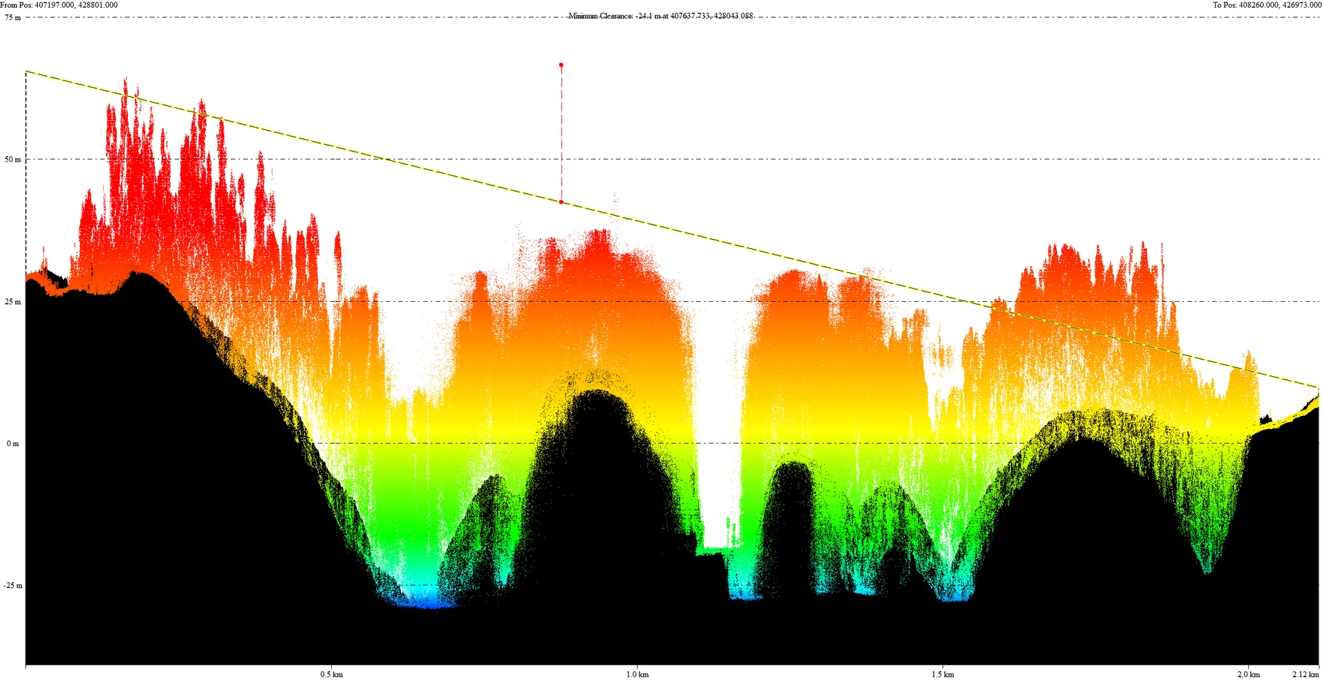
Sectional view of the working corridor, with the line of sight, the digital terrain model in black, and the point cloud representing the vegetation.
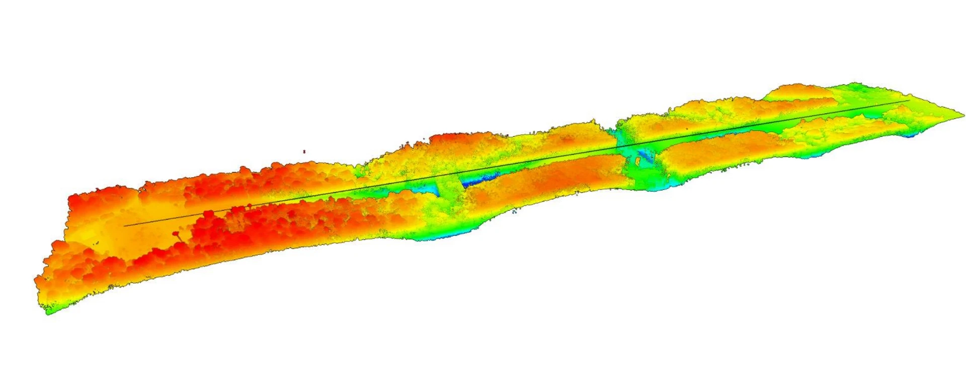
3D view of results, with line of sight passing through cleared areas