
- Home
- Projects
- Guiana Space Centre
- Saint-Georges-de-l’Oyapock: 60 hectares of LiDAR to position a collimation mast
Saint-Georges-de-l’Oyapock: 60 hectares of LiDAR to position a collimation mast
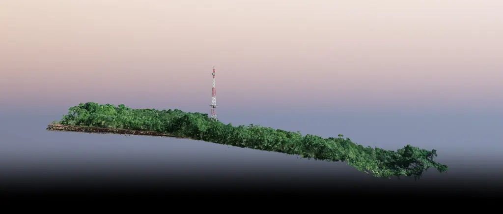
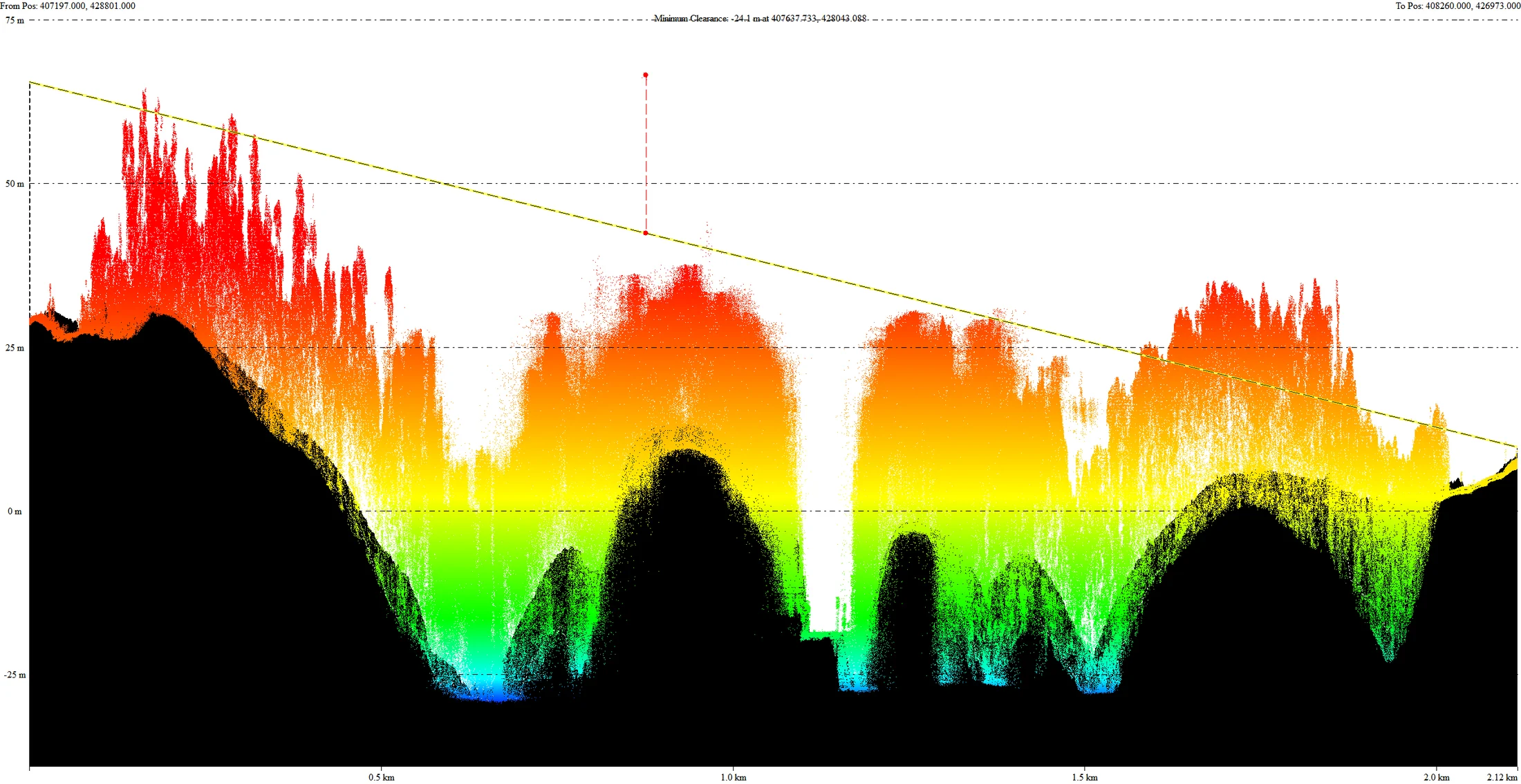
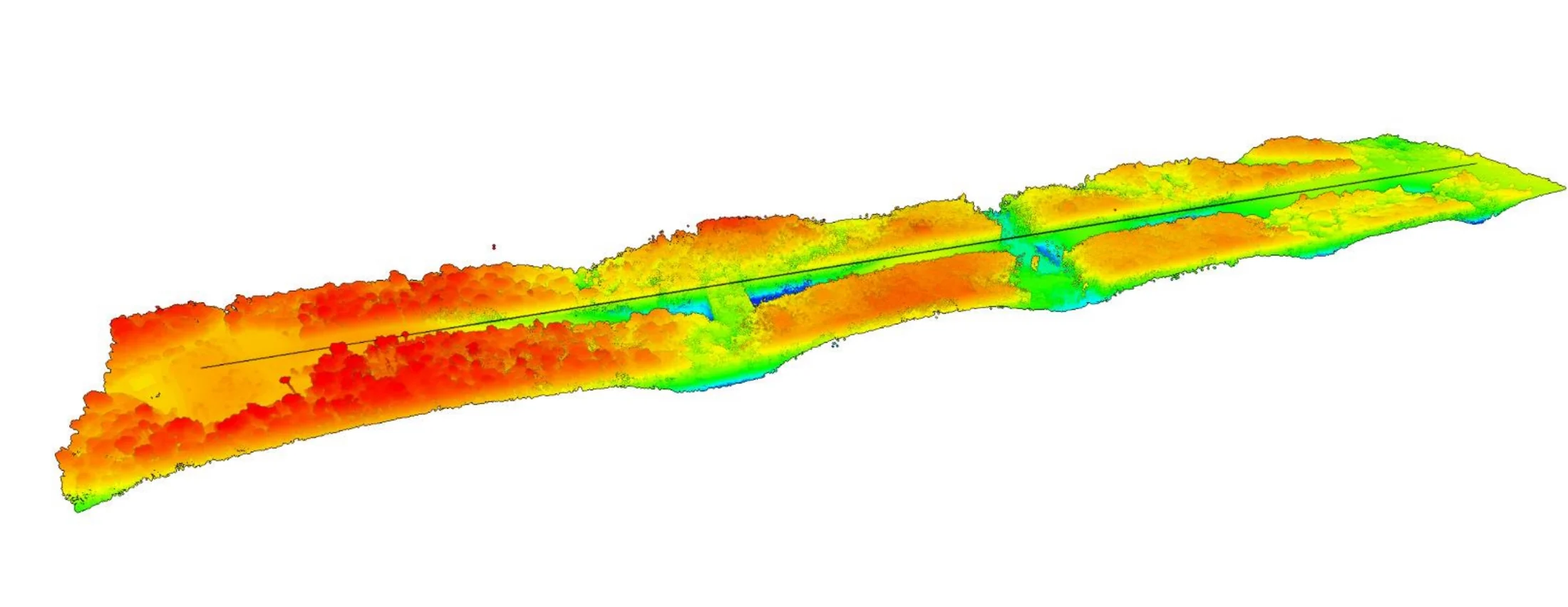
For CNES, a 2 km by 300 m corridor surveyed by LiDAR to study the lines of sight between a radar and a collimation mast 2.1 km away.
Background
As part of a radar installation project in Saint-Georges-de-l’Oyapock, CNES had to define the visibility conditions between the radar and a collimation mast, through dense forest, clearing as little as possible.
What we did
We surveyed a 60-hectare corridor by LiDAR, 2 km by 300 m, i.e. more than 300 million georeferenced points. The terrain model defines the lines of sight without vegetation, the surface model outlines the trees to be felled and the orthophoto serves as a location plan. The analysis made it possible to choose the mast position that limits the forest area to be cleared.
Gallery
Other projects
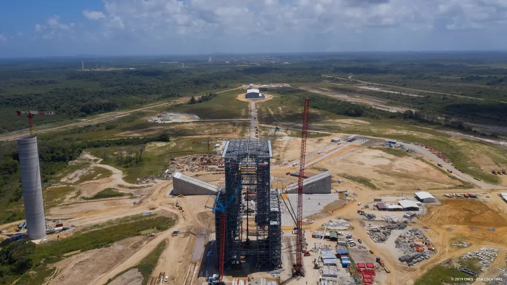
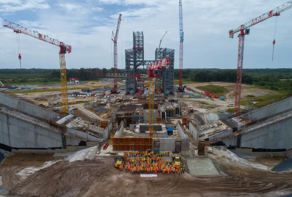
The Ariane 6 launch complex construction, filmed and photographed from 2018 to 2021
From 2018 to 2021, aerial photo and video campaigns on the ELA4 construction site: fourteen films published by the Guiana Space Centre, photos used by ESA, Espace & Exploration and Latitude 5.
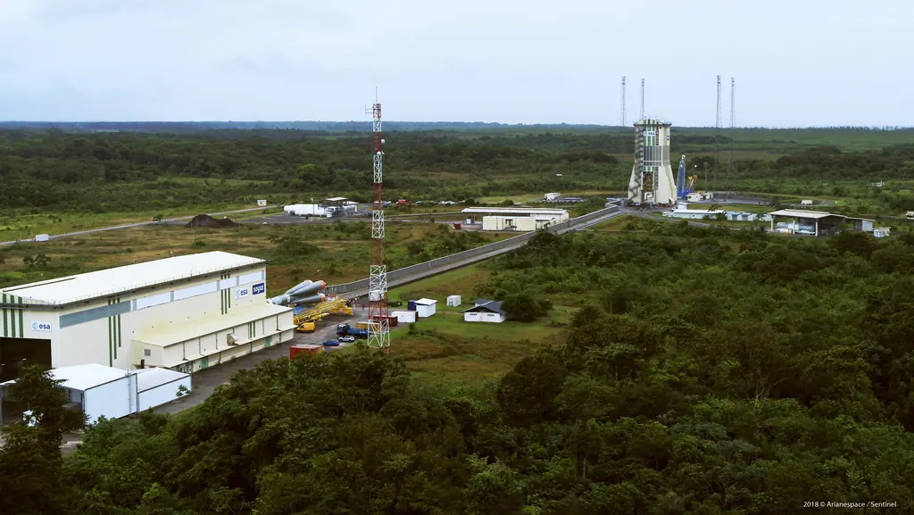
Launch campaigns: fifteen launches covered in Kourou from 2017 to 2019
Aerial photography of the launch complexes during Ariane 5, Soyuz and Vega campaigns, within the windows authorised by the base: fifteen launches from December 2017 to December 2019.
Flame trenches of the Ariane 6 launch complex: inspections and a digital twin at 1.5 mm per pixel
Since November 2023 we have photographed the inside of the two flame trenches of the ELA4, which carry the engine exhaust away at lift-off. In 2025 a photogrammetric survey turned them into a digital twin and eight orthophotos at about 1.5 mm per pixel.
Tell us about your project
Location, area or structure, expected deliverables and timing: with these details we can propose a method and a quote.
97310 Kourou
French Guiana
Route des Trois-Îlets
97229 Les Trois-Îlets
Martinique
20030-041 Rio de Janeiro – RJ
Brazil