
- Home
- Projects
- TDF sites in French Guiana: ten locations photographed at antenna height, from 18 to 60 m
TDF sites in French Guiana: ten locations photographed at antenna height, from 18 to 60 m
Ten locations photographed at the antenna heights under study in 2023-2024, the capture of a site for its 3D model in 2025, 360° shots delivered the next day in 2026.
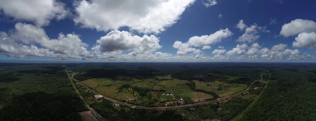
Background
TDF deploys the towers that carry the operators’ antennas in French Guiana; we have worked for its deployment team since 2019, when we located and measured four of its antennas on the Oyapock. Before building or equipping a site, the team needs images taken from the height of the antenna: what can be seen from up there, at what height to place the equipment, how the future tower will fit into the landscape. The drone hovers at the height under study, without scaffolding or an aerial platform. Flights often take place in town or inside the Cayenne airport control zone, with a declaration to the prefecture and air-traffic control approval.
What we did
From October 2023 to April 2024, ten locations were photographed in Cayenne (Mont Lucas, Palika), Rémire-Montjoly, Parc Lindor and along the RN2, at heights from 18 to 60 m: 18 and 35 m at Mont Lucas; 33 and 35 m at Parc Lindor, with eight views oriented every 45°, a vertical view and two stitched half-panoramas for each height; five heights from 48 to 60 m on the first location of the RN2 site, with oblique photos for landscape integration. In May 2025, in Sinnamary, the water-tower site was captured in one day, with a TDF agent on site: photogrammetric orbits, four 25-photo panoramas above and below the top, indoor and outdoor 360° tours, for the computation of its 3D model by the operator’s digital-twin contractor. In March 2026, in Saint-Laurent-du-Maroni, the 360° shots of a site were taken at the time agreed with the TDF team and delivered the next day.
5 related missions in the log
360° photos of a telecommunications site
360° shots of one of the operator’s sites in Saint-Laurent-du-Maroni on 17 March 2026, at the time agreed with its team; deliverable handed over the next day.
Read the articleCapture of a telecom site for its digital twin
On 28 May 2025, with an agent of the operator on site: photogrammetric orbits around the water tower that carries the antennas, four 25-photo panoramas above and below the top, indoor and outdoor 360° tours. 3D model then computed by the operator’s digital-twin contractor.
Read the articleAntenna-height panoramas of candidate sites
For each location, the drone climbs to the antenna heights under study and photographs the full horizon: seven locations between January and April 2024 in Rémire-Montjoly, at Palika and along the RN2, where the first location was photographed at five heights, from 48 to 60 m, with oblique photos for landscape integration.
Read the articlePhotographic survey of a telecommunications tower
Panoramas at 33 and 35 m on the Parc Lindor site: for each height, eight views oriented every 45°, a vertical view and two stitched half-panoramas.
Read the articlePanoramas at 18 and 35 m for a telecom site at Mont Lucas
On 12 and 13 October 2023, in an urban area: stitched panoramas at 18 and 35 m, the first of ten locations photographed for the operator until April 2024.
Read the article
Other projects

12,647 hectares of orthophotos at 3.5 cm for EPFA Guyane
From 4 December 2023 to 1 March 2024, eight sectors photographed at 3.5 cm per pixel, from Cayenne to Cacao: 343 flights, 184,464 photos, 50 ground control points and 26 check points. A second 6,545-hectare campaign began on 16 October 2026; its first sector was delivered on 19 October.
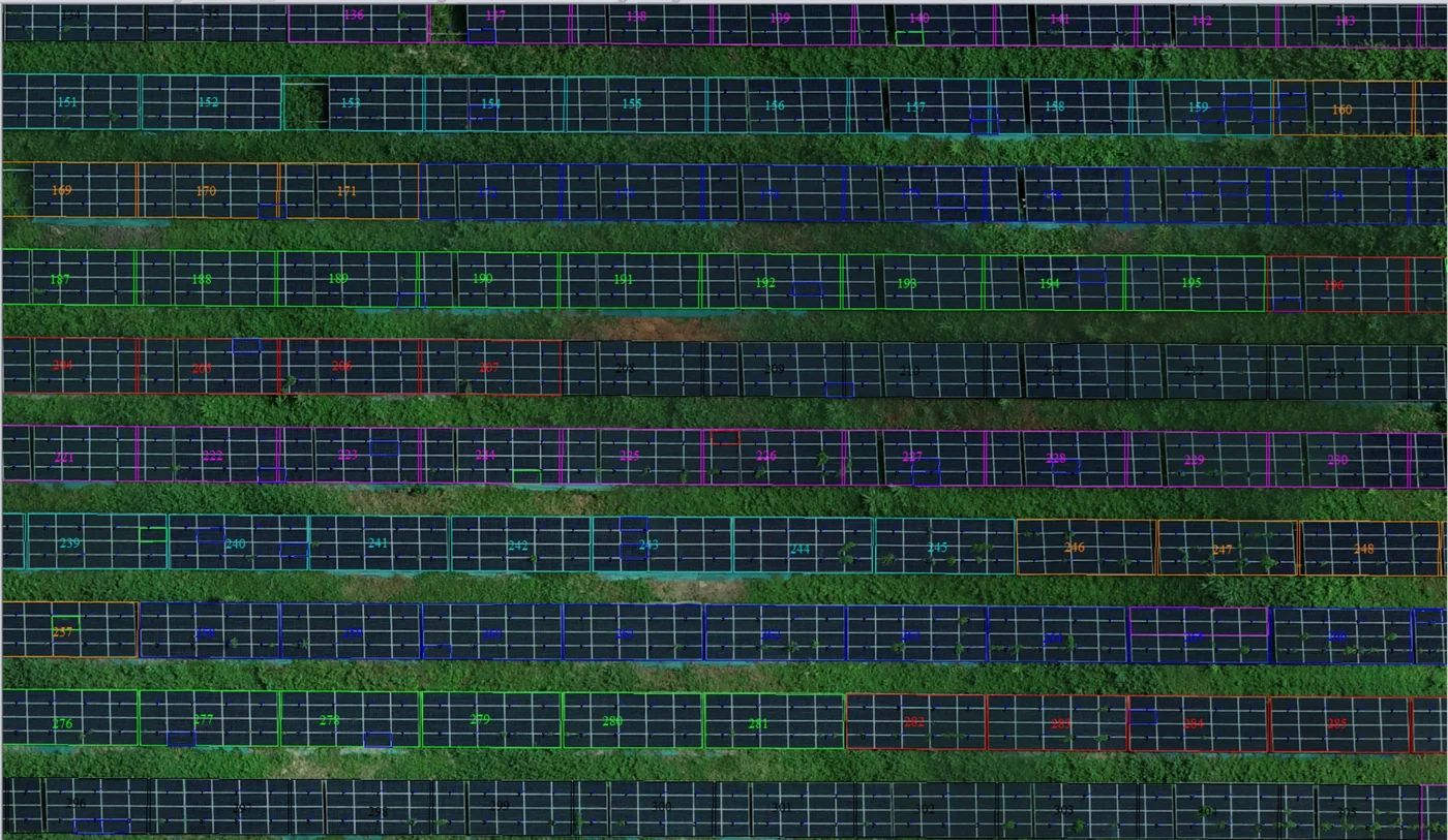
Corossony solar plant: 1,472 concrete footings surveyed at 2 mm per pixel before repowering
A 1:500 topographic plan of the plant in operation in September 2024, then the position and height of each of the 1,472 footings kept for the new structures, in December 2025.
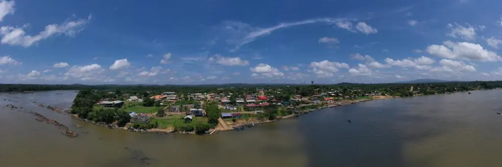
Waste in western French Guiana: eight visits in Saint-Laurent, four Maroni villages at 1 cm
Since October 2024, photos taken from the same viewpoints at every visit to the Saint-Laurent-du-Maroni waste storage facility, with a 3 cm orthophoto and a plan since December 2024; in February 2026, the waste sites of four river villages surveyed at 1 cm.
Tell us about your project
Location, area or structure, expected deliverables and timing: with these details we can propose a method and a quote.
97310 Kourou
French Guiana
Route des Trois-Îlets
97229 Les Trois-Îlets
Martinique
20030-041 Rio de Janeiro – RJ
Brazil