
12,647 hectares of orthophotos at 3.5 cm for EPFA Guyane
From 4 December 2023 to 1 March 2024, eight sectors photographed at 3.5 cm per pixel, from Cayenne to Cacao: 343 flights, 184,464 photos, 50 ground control points and 26 check points. A second 6,545-hectare campaign began on 16 October 2026; its first sector was delivered on 19 October.

Background
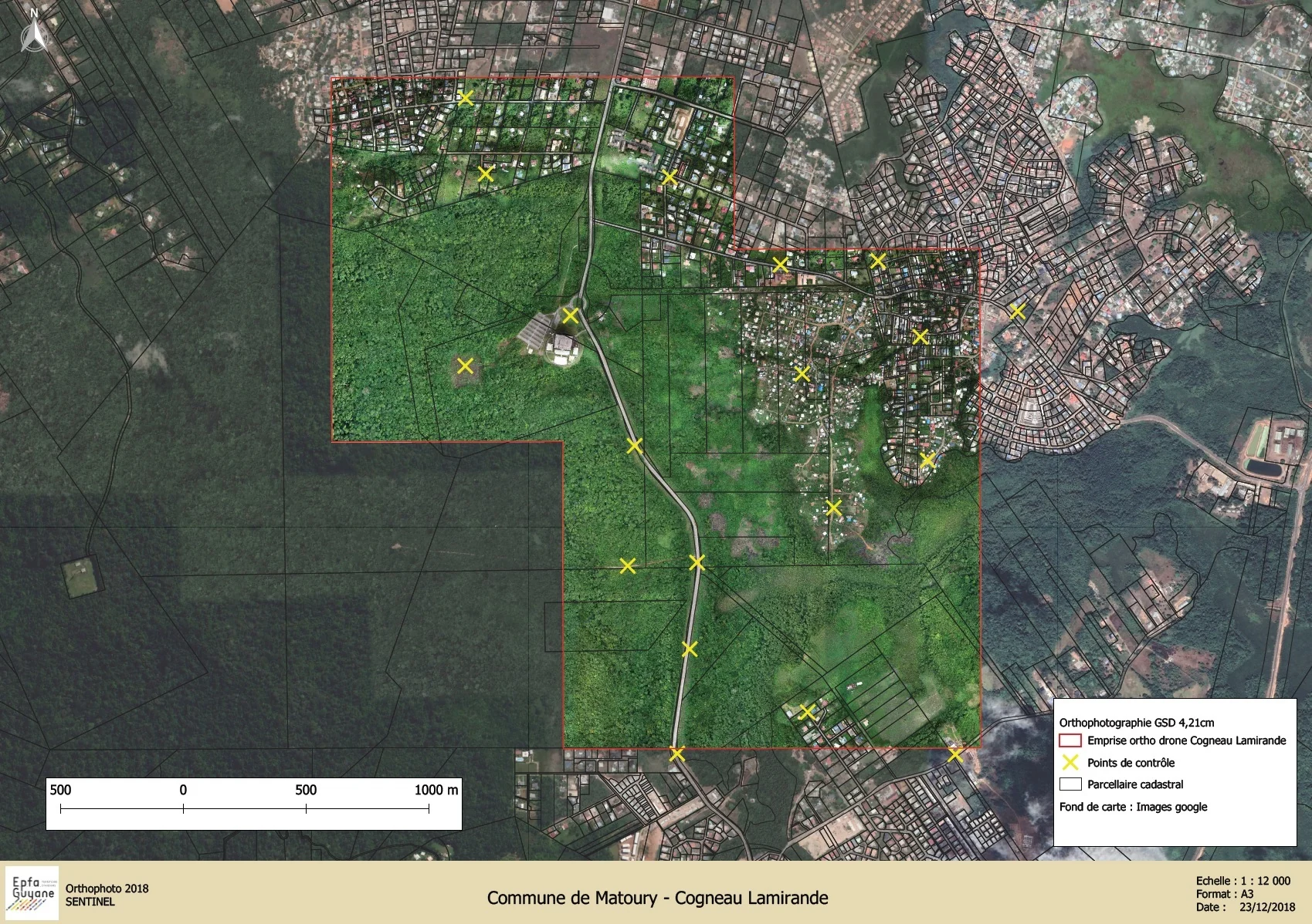
The public land and development agency of French Guiana works on land spread across several coastal municipalities. It ordered recent orthophotos of eight sectors from us: Cogneau-Lamirande in Matoury, the Georges-Othily eco-district in Rémire-Montjoly, Palika in Cayenne, Soula, Sablance and Maillard then Sud-Bourg and Préfontaine in Macouria, Wayabo and the Roches Gravées development zone in Kourou, and Yaoni in Cacao. Sectors ranged from 205 to 3,856 hectares. In October 2023 a first order had covered Saint-Laurent-du-Maroni: 815 hectares of orthophoto and 223 hectares of LiDAR.
What we did
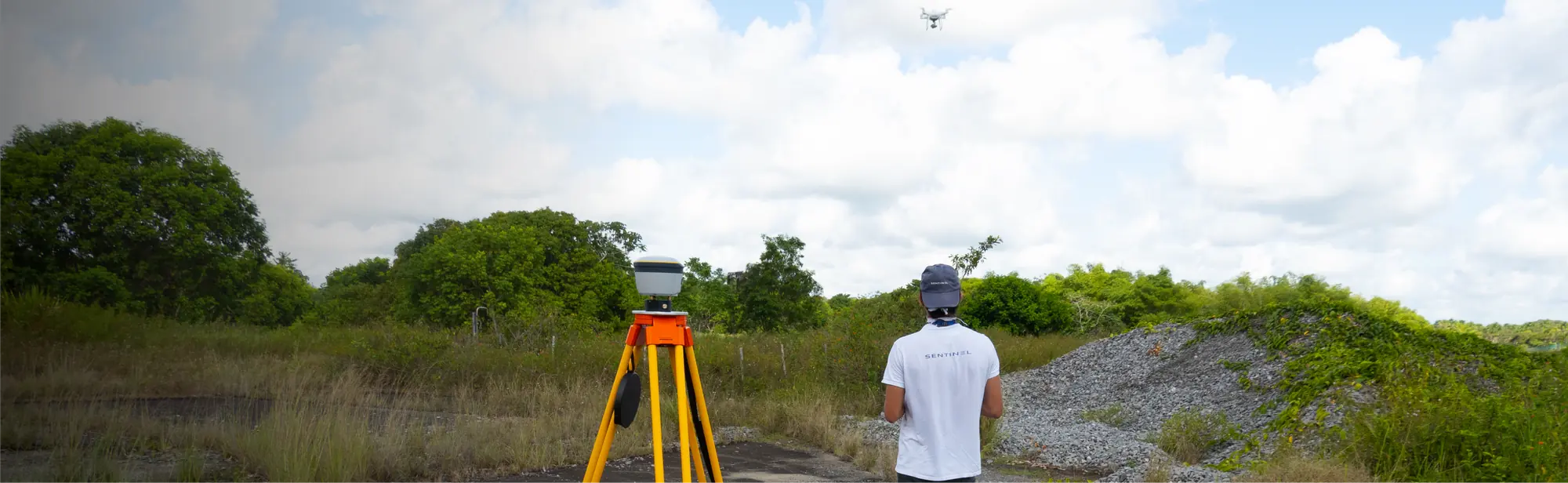
Two RTK drones flew at 120 m on north–south lines with 85% forward and 75% side overlap: 343 flights, 97 hours in the air and 4,284 km flown. Positioning relied on the permanent stations of the Teria network, in RTK or PPK depending on the sector. In Cacao no station lay within 20 km: we measured sixteen points by PPP, with sessions of 30 to 45 minutes, then flew with an RTK base moved across six positions. In each sector, ground control points were used for the adjustment and independent check points to verify the orthophoto. After the agency’s comments on the transparency band and the projection of two files, the corrected delivery was accepted on 7 March 2024; processing had taken more than 500 hours. On 16 October 2026 we started the next campaign in Matoury: eight perimeters and 6,545 hectares, from Cayenne to Saint-Laurent-du-Maroni. The first sector, Sud-Bourg (147 hectares), was photographed that same day in four flights and delivered on 19 October: 1,909 photos at 3.88 cm per pixel, an orthophoto checked on five independent check points (3.7 cm planimetric error), the seamline map, the flight plans, the image footprint index and ISO 19115 metadata.
3 related missions in the log
2026 orthophoto campaign: eight sectors and 6,545 hectares
Eight perimeters and 6,545 hectares in Cayenne, Kourou, Macouria, Matoury and Saint-Laurent-du-Maroni, ordered on 2 October 2026, with 10 cm orthophotos required by the specifications. First sector delivered, Sud-Bourg in Matoury (147 ha): four flights on 16 October, 1,909 photos at 3.88 cm per pixel, 3.7 cm planimetric error on five independent check points, orthophotos and reports delivered on 19 October.
- 6 545 ha
- 8 sectors
- 3,7 cm check-point error
Orthophoto coverage of 12,647 hectares of inhabited French Guiana
From 4 December 2023 to 1 March 2024: eight sectors at 3.5 cm per pixel, 343 flights, 184,464 photos, 50 ground control and 26 check points; ECW and JP2 orthophotos accepted on 7 March 2024.
- 12 647 ha
- 184 464 photos
- 343 flights
Orthophoto of 815 hectares and LiDAR of 223 hectares in Saint-Laurent-du-Maroni
Flights in October 2023 near the aerodrome, authorised outside its opening hours: 3.2 cm orthophoto, 50 cm terrain, surface and height models, contour lines in DWG and SHP, layers of buildings, roads, water and forest; delivered on 24 November 2023.
- 815 ha of orthophoto
- 223 ha of LiDAR
Gallery
Other projects
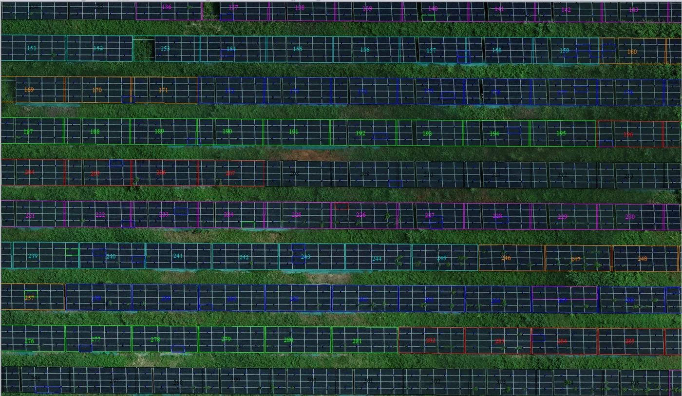
Corossony solar plant: 1,472 concrete footings surveyed at 2 mm per pixel before repowering
A 1:500 topographic plan of the plant in operation in September 2024, then the position and height of each of the 1,472 footings kept for the new structures, in December 2025.
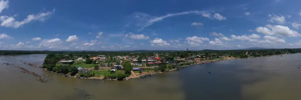
Waste in western French Guiana: eight visits in Saint-Laurent, four Maroni villages at 1 cm
Since October 2024, photos taken from the same viewpoints at every visit to the Saint-Laurent-du-Maroni waste storage facility, with a 3 cm orthophoto and a plan since December 2024; in February 2026, the waste sites of four river villages surveyed at 1 cm.
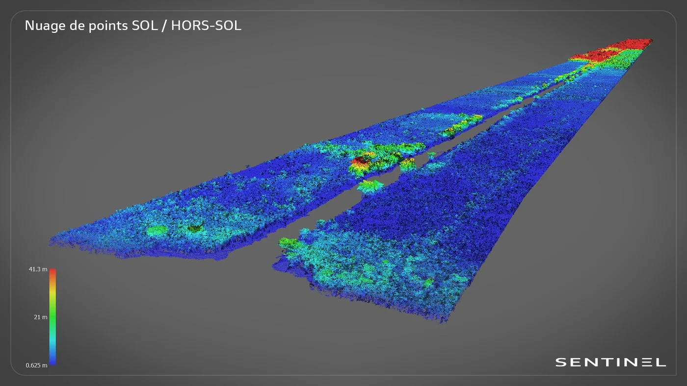
Roy canal: 7.7 km of LiDAR from a dugout canoe, in the Kaw marshes
In late June 2024, in the Kaw-Roura marshes nature reserve: a 7,700 m by 200 m corridor surveyed from the boat, 155 million points and the ground restored beneath the vegetation.
Tell us about your project
Location, area or structure, expected deliverables and timing: with these details we can propose a method and a quote.
97310 Kourou
French Guiana
Route des Trois-Îlets
97229 Les Trois-Îlets
Martinique
20030-041 Rio de Janeiro – RJ
Brazil