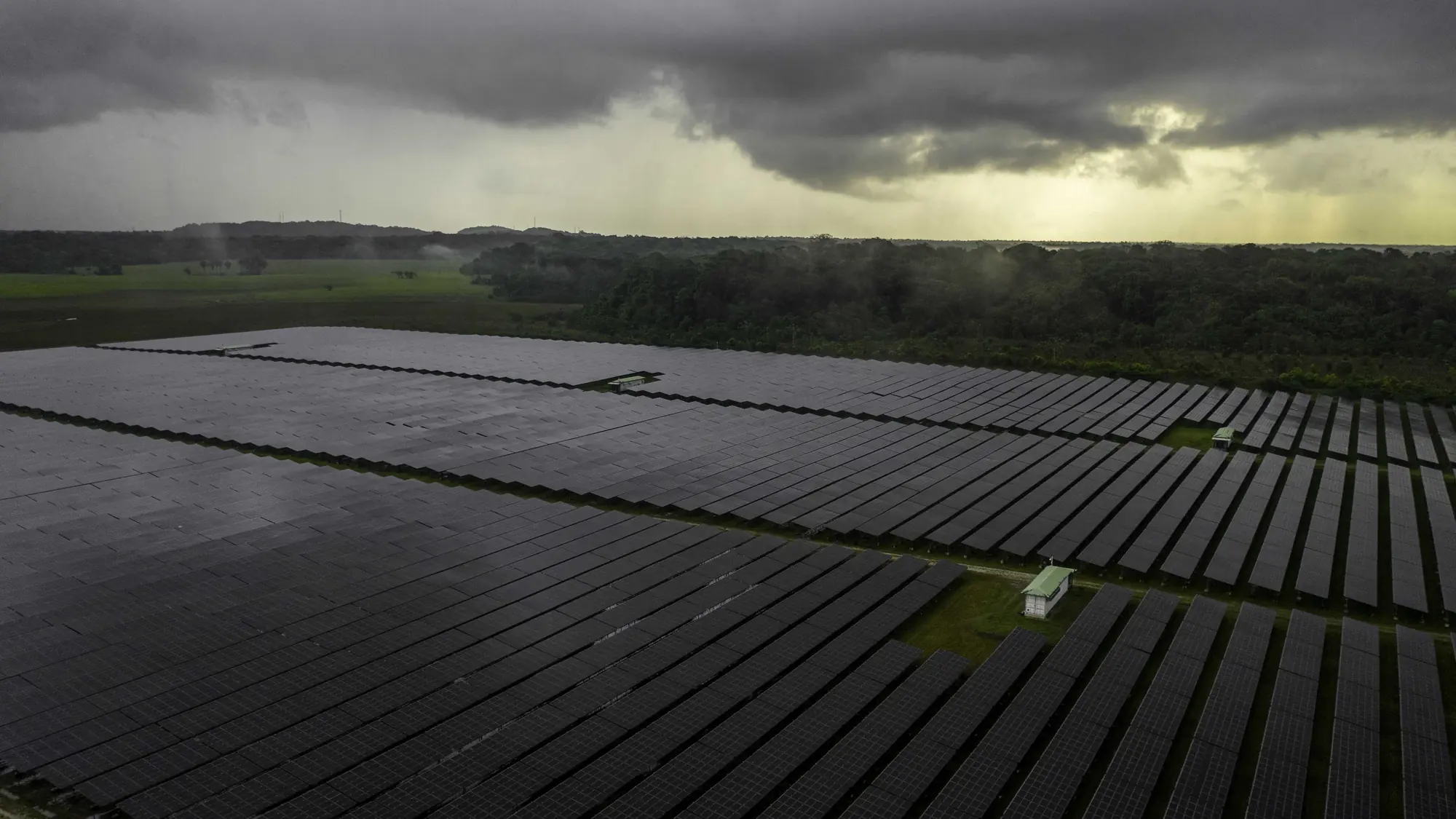
Corossony: 1,472 concrete footings surveyed at 2 mm per pixel before a solar plant was repowered
The Corossony photovoltaic plant stands on the Saint-Élie road in Sinnamary. In late 2025 its operator, Albioma, began repowering it: the original modules and structures were removed and only the foundations were kept. These are 50 × 50 cm concrete footings that will carry the new structures. Before ordering and installing them, the position and height of every single footing had to be known.
We already knew the site. On 5 September 2024 we had produced the plant’s 1:500 topographic plan from a 15 mm per pixel orthophoto: access tracks, contour lines, natural-ground spot heights, cadastre, fences, overhead cable trays, substations, basin, junction boxes, tables and modules, including the missing ones. That plan was part of the repowering file Albioma sent us in October 2025.
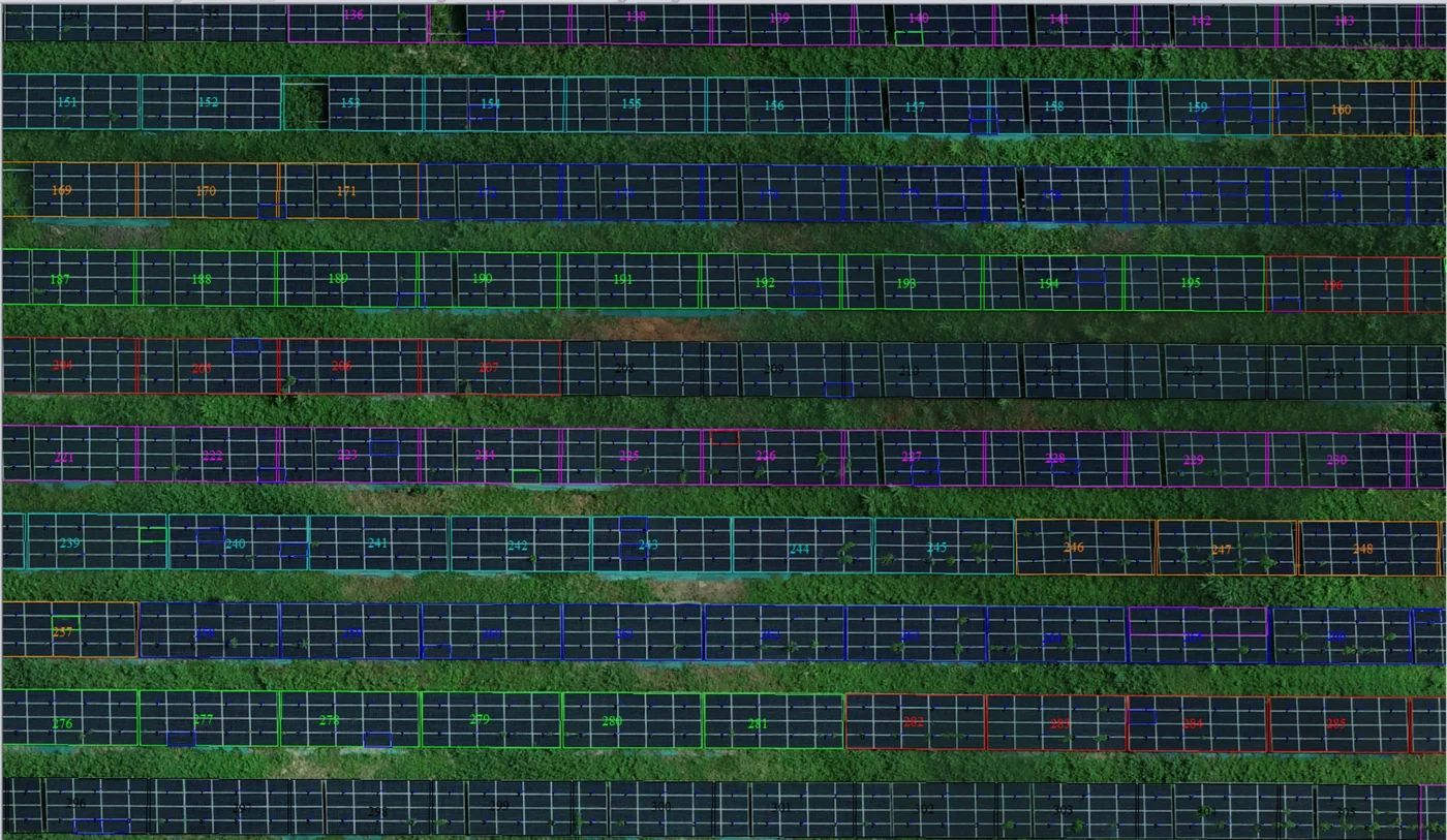
1,472 footings over two hectares
The request covered 1,472 footings spread over about 2 hectares, half of the 4-hectare fenced area. Albioma made its priority clear: what mattered were the height differences between footings; absolute height was not required. That choice shaped the method. We chose a very-high-resolution photogrammetric survey, without ground control points, committing to a mean relative height error of 1.5 cm.
To get the finest measurement, the footings had to be completely clear. The flights therefore took place in December 2025, after the area had been dismantled and cleared of vegetation. The final orthophoto reaches 2 mm per pixel over the two hectares: a 50 cm footing covers 250 pixels along each side.
One point per footing
We drew one point at the centre of each footing, with its coordinates and height: 1,472 points in all. A fuller drawing had been considered, with four points on the edges and one height point per footing, i.e. 7,360 points; the operator chose the centre point, which met its needs.
Delivered on 23 December
The deliverables were made available to Albioma on 23 December 2025: the 2 mm per pixel orthophoto, georeferenced in RGFG95 / UTM 22N with NGG 1977 heights, a DWG file of the footing elevation points and an A0 plan of the survey. The operator acknowledged receipt on 27 December.
Fifteen months passed between the two jobs, and the resolution went from 15 to 2 mm per pixel. The first described a plant in operation, with its tables, modules and networks; the second prepared the repowering works, footing by footing.