The Saint-Pierre coastline at two centimetres per pixel, with twelve ground targets
Saint-Pierre stretches along a black-sand beach at the foot of Mount Pelée. In August 2026, the GIS and geomatics unit of DEAL Martinique asked us for an orthophoto of 12.5 hectares of the seafront, from the Fort district to the sub-prefecture: 5 cm resolution, 5 cm planimetric accuracy, delivered as JPEG2000 in the RGAF09 system. The image is to support accurate measurements of distances and areas and the monitoring of shoreline retreat. The order was confirmed on 10 September and the flight took place on 21 September 2026, from 11.47 am to 12.30 pm.

Accuracy is prepared on the ground
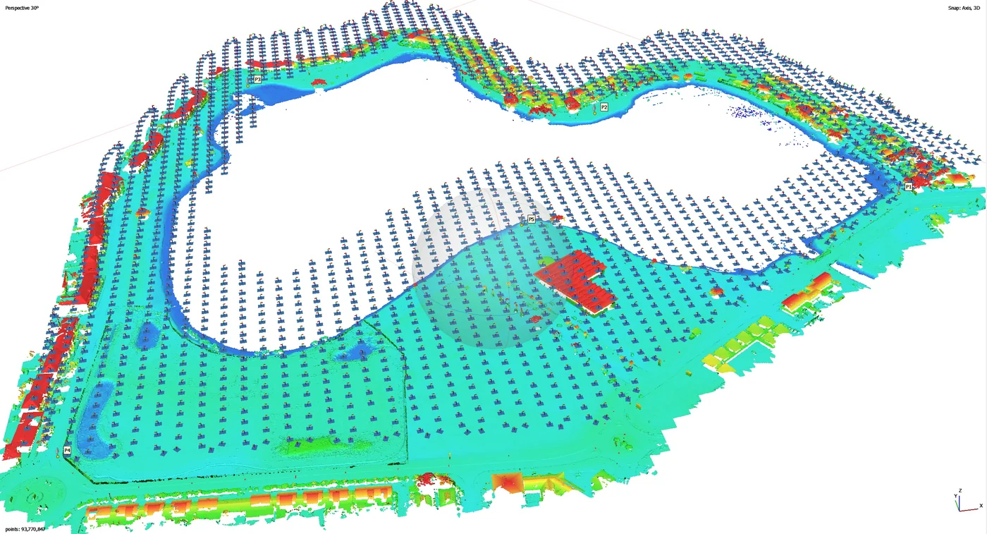
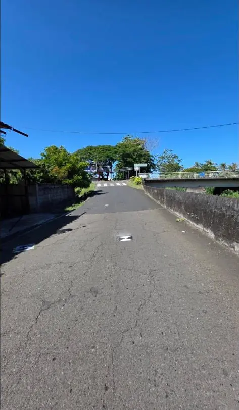
Twelve targets were laid across the area and measured by GNSS with an Emlid RS2 receiver in fixed RTK, corrected by a permanent station of the Teria network on the heights of Saint-Pierre, 2.1 to 2.8 km from the area. Seven were used for control, five for independent checking. The flight, at 65 m with terrain following, 80% overlap in both directions and a cross grid, was carried out with a Mavic 3 Enterprise RTK with a mechanical shutter; image positions were recomputed in PPK after the flight.
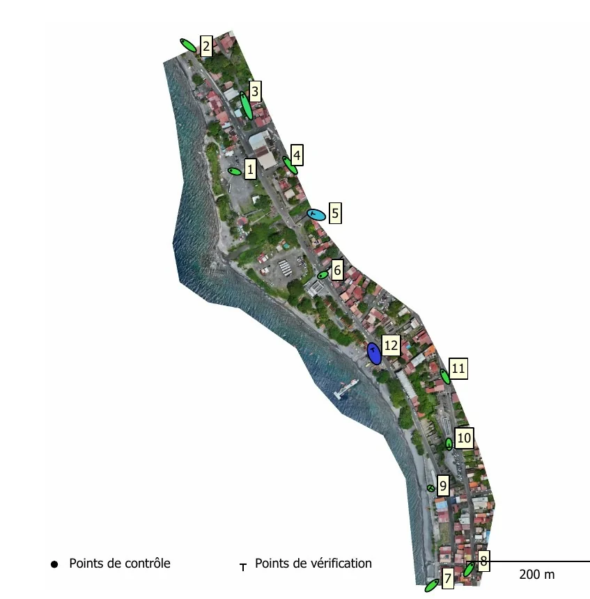
In Agisoft Metashape, 1,258 of the 1,305 images were aligned, with more than nine images per point and a reprojection error of 1.01 pixel. The native resolution is 1.94 cm per pixel; the orthophoto was delivered at 2 cm and 5 cm, with a digital surface model at 3.87 cm. The error on the control points is 1.57 cm; on the five check targets it is 0.81 cm in X and 1.59 cm in Y, giving a planimetric accuracy of 1.78 cm.
Delivered the next day
The deliverables were made available on 22 September: orthophotos at 2 and 5 cm, surface model, oblique context views and a technical report detailing the equipment, flight heights, target positions and accuracy statistics. On a road open to traffic, moving vehicles leave a few blurred patches on the orthophoto: that is the limit of a daytime flight over an inhabited seafront.
The same method in Le Vauclin and Le Prêcheur
Control and check targets, a nearby reference station, a cross grid, a processing report with measured errors: we had followed the same procedure in October 2025 at Pointe des Sables, Le Vauclin, for DEAL (27 hectares, 3.55 cm planimetric accuracy), and at the mouth of the Prêcheur river for BRGM during the lahar crisis (32 hectares, 3.72 cm). The report handed to the client describes each step, so that the result can be verified.