Juquiá complex: seven dams in five days of reconnaissance, then the faces of Serraria
The Juquiá complex, in the south of São Paulo State, brings together seven hydroelectric plants belonging to an energy producer, of 24 to 72 MW each. Six dams follow one another on the Juquiá-Guaçu river: França, Fumaça, Barra, Porto Raso, Alecrim and Serraria; the seventh, Salto do Iporanga, stands on the Assungui river. Their crests range from 140 to 265 m and their heights from 15 to 45 m. Their operator wanted a baseline of the upstream and downstream faces and the crest of every dam, with a map of cracks and other anomalies, then a follow-up survey the next year to measure how they evolve.
Our technical proposal was validated in April 2026 and the two-year contract signed in July. It is carried out by Sentinel Imagens, our Rio de Janeiro company, with the method applied since 2022 on the Peti dam in Minas Gerais and in 2025 on a hydroelectric plant in Bahia.
Five days to reconnoitre seven structures
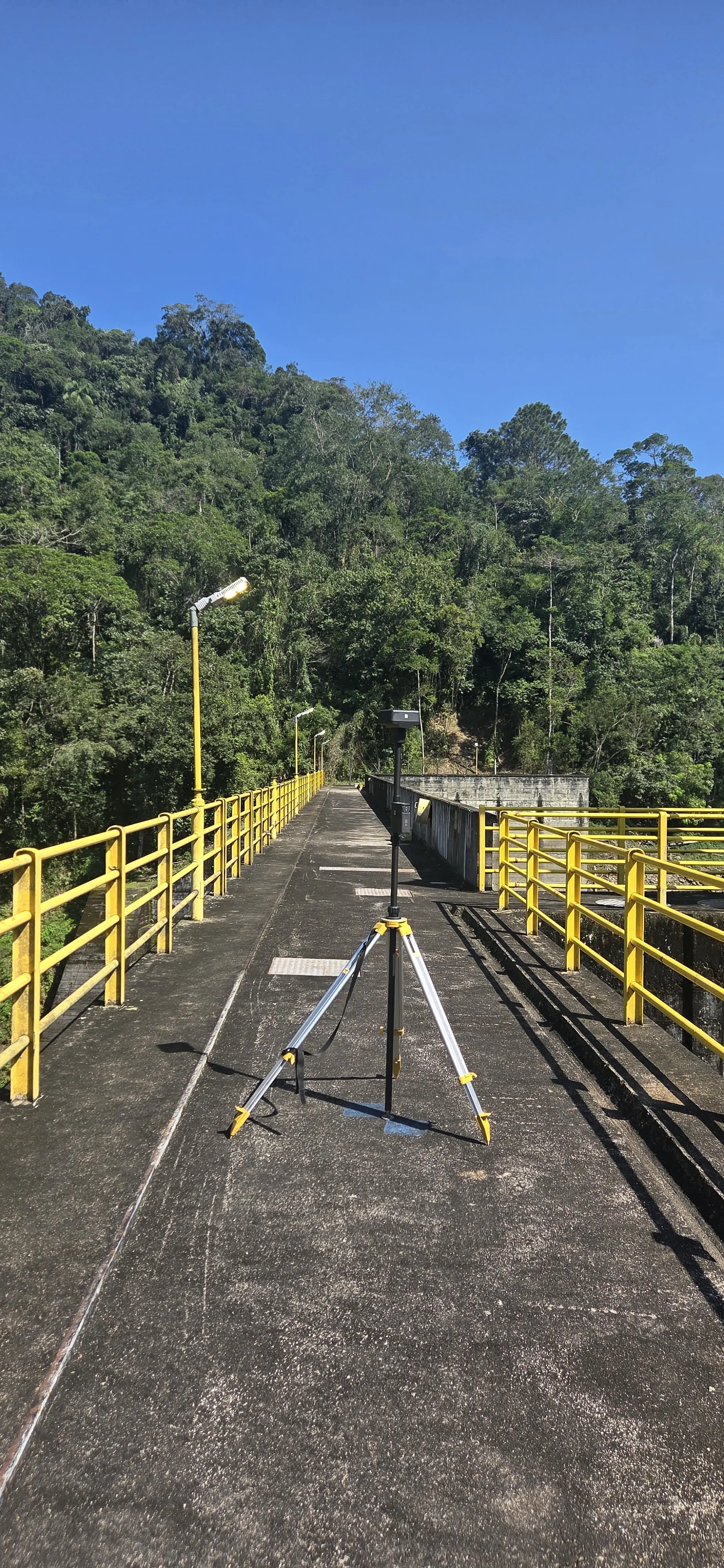
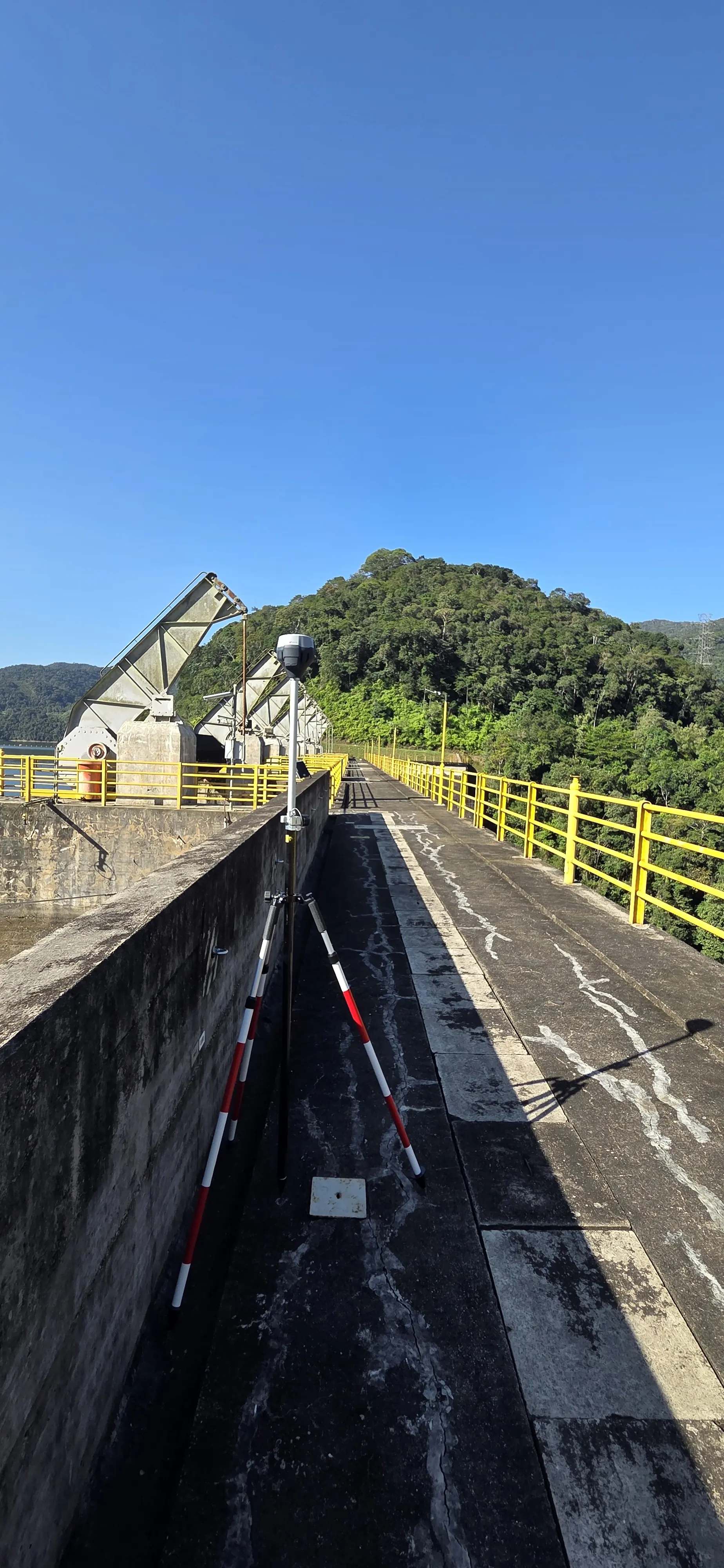
Before the first mission the operator sent us the reports of its 2021 surveys, during which benchmarks had been set on the crests. They serve as the reference: at each site a GNSS base is set up on a clear, accessible benchmark, and every acquisition is tied to it.
From 17 to 21 August 2026 the reconnaissance week covered the seven plants with general aerial views: França, Fumaça, Barra and Porto Raso on the 17th, Salto do Iporanga on the 18th, Serraria on the 19th and Alecrim on the 20th. Salto do Iporanga was then surveyed in detail: upstream face on the 19th, in close automatic flights completed by hand, downstream face on the 21st.
One standard for all seven dams
On 1 September we delivered a reconnaissance report to the operator, proposing acquisition and delivery rules common to the seven structures and a schedule for the next stages. The follow-up survey will have to reuse the same benchmarks, the same flight parameters and the same products so that the two campaigns can be superimposed, as on the Peti dam since 2022. For each dam the planned deliverables are orthophotos of the upstream and downstream faces and the crest, anomaly mapping in SHP, DWG or spreadsheet, a 3D model, a mission report and a web viewing tool.
Serraria, between rain and spillway gates
The second mission, from 5 to 8 October, covered Serraria. The upstream face was surveyed on the 6th in the rain, with nine automatic flight plans, and the downstream face on the 7th, with seventeen flight plans. On the 8th, in fine weather, the spillway gates were open and water covered the downstream face: we flew the upstream face again, then stopped the mission. The gates are automatic, so their opening cannot be scheduled with the operations team.
Alecrim, França, Fumaça, Barra and Porto Raso have so far only had the general views of August. Their detailed survey will take place in the 2027 dry season, a postponement we proposed and the operator accepted. In the meantime the three orthophotos of Salto do Iporanga, upstream face, crest and downstream face, have been produced and will be available with the 3D model on our web platform, and processing of Serraria has started.