Sentinel Cloud: our deliveries go online
For years, a drone mission ended with a hard drive or a download link: multi-gigabyte files, useful to specialists, hard to open for everyone else. Since late 2023 we had already been publishing virtual tours and 3D models at a dedicated address. In 2026 we took the next step: user accounts, a project map per organisation and specialised modules.
What you find there
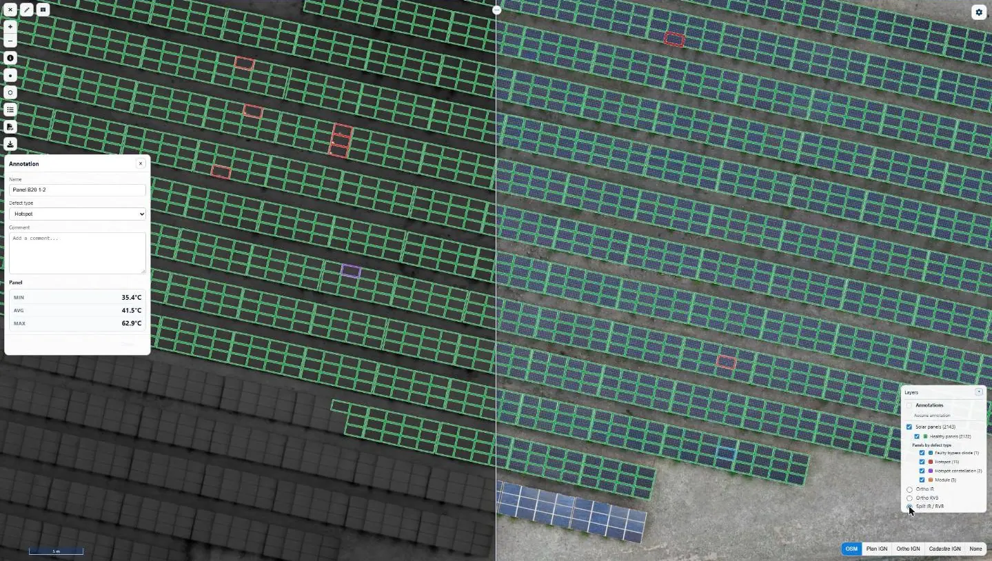
- Thermography: infrared and visible orthophotos, temperatures, defects annotated by type and severity, plant summary and PDF reports.
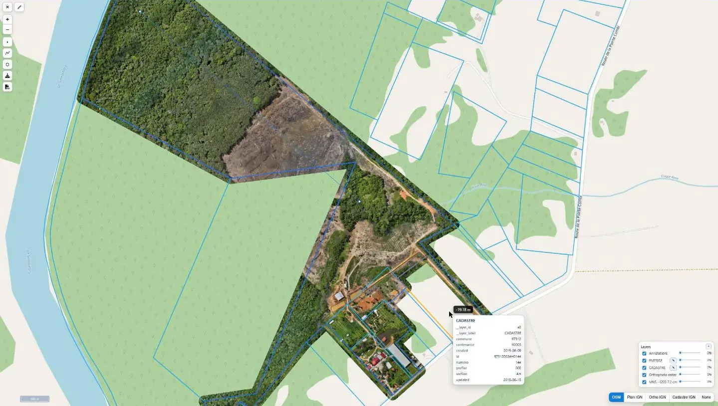
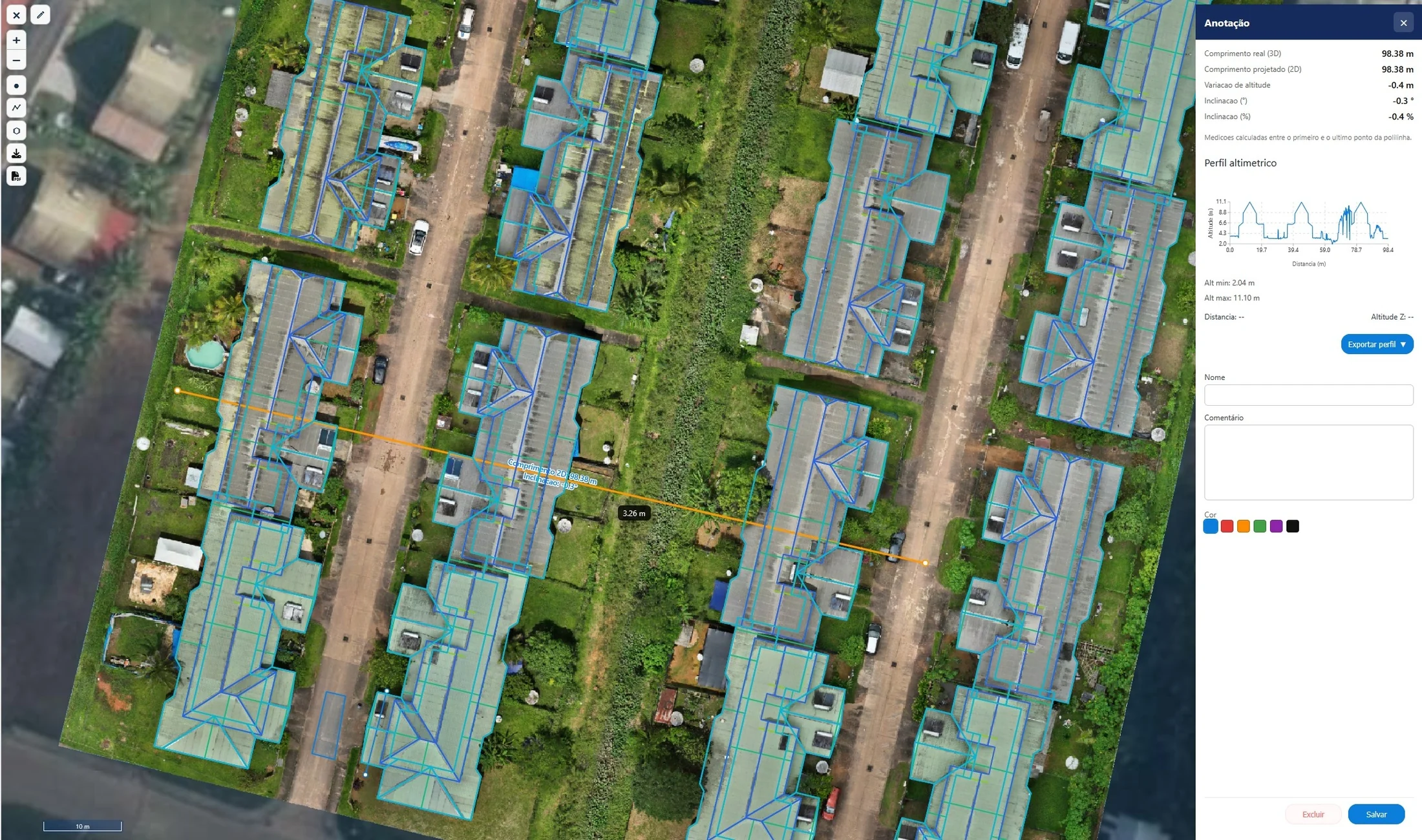
- Surveys and models: orthophoto, elevation model, vector layers, measurements and elevation profiles, PDF layouts.
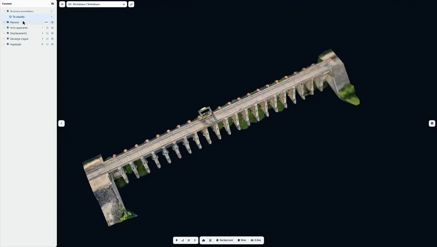
- Structure diagnosis: 2D defect maps and a 3D model with cross-sections and X-ray mode.
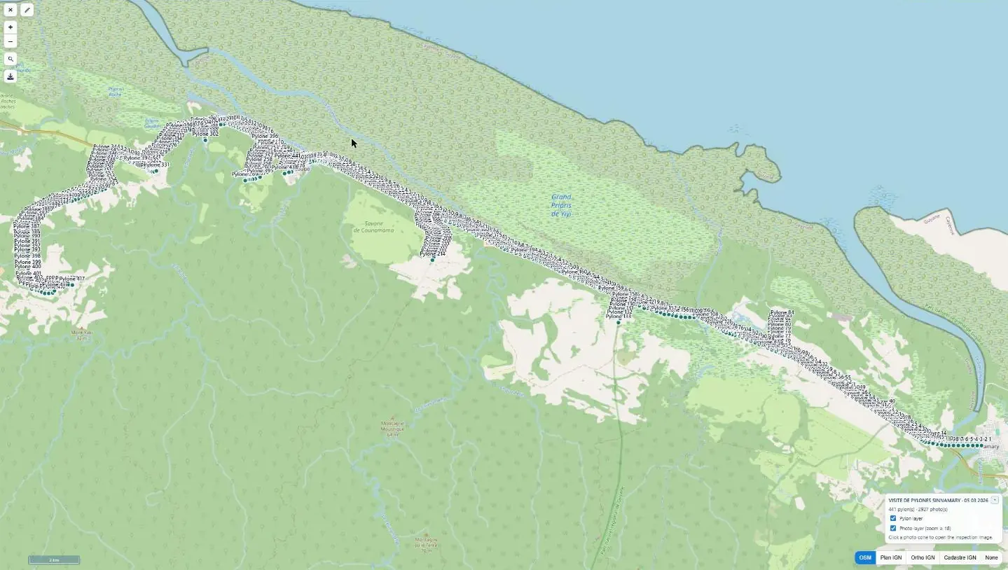
- Pylon inspection: structure-by-structure visit, oriented photos, anomalies and downloads.
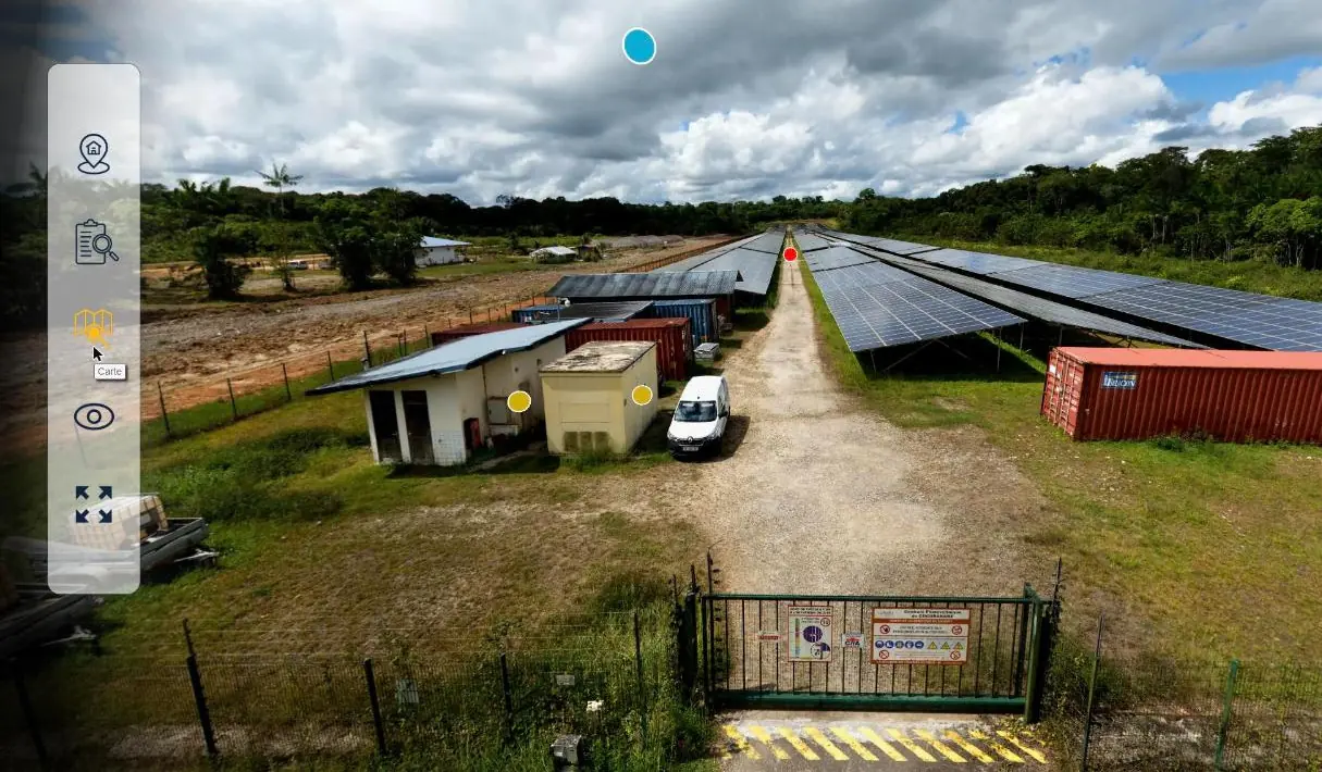
- Virtual tours and photo reports.
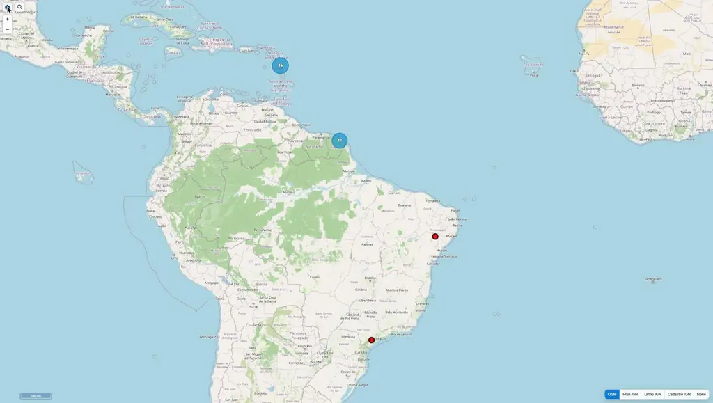
Each organisation has its own space, with three access levels and an interface in French, English or Portuguese. A mission becomes a project; later campaigns on the same site are added as sub-projects. OpenStreetMap and IGN basemaps (plan, orthophoto, cadastre) are available for all projects.
Who uses it
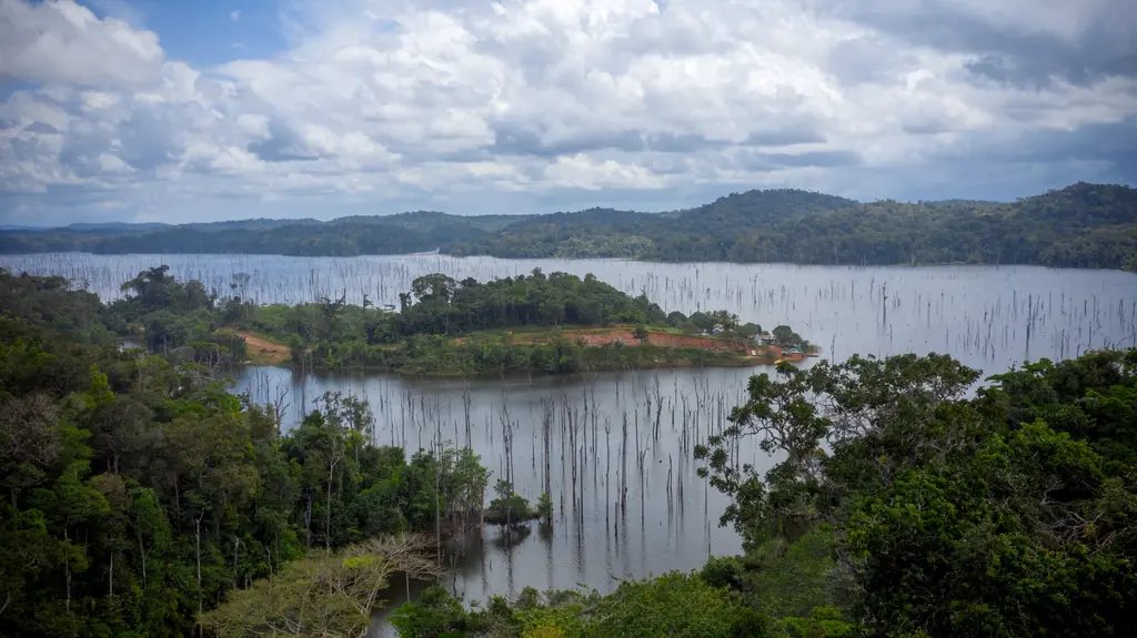
Local authorities in French Guiana consult their erosion-monitoring orthophotos, photovoltaic plant operators in the French West Indies their thermal surveys, engineers in Brazil the 3D models of their dams, and drone operators deliver their own campaigns to their clients. The first accounts were opened in April 2026 for a Brazilian client; in September, the technical services of a community of municipalities received theirs to view the orthophoto of Bois Chaudat lake.
What does not change: deliverables are still provided in open formats — GeoTIFF, LAS, Shapefile, GeoJSON, PDF. The platform adds viewing, measurements and reports; it does not replace your files.