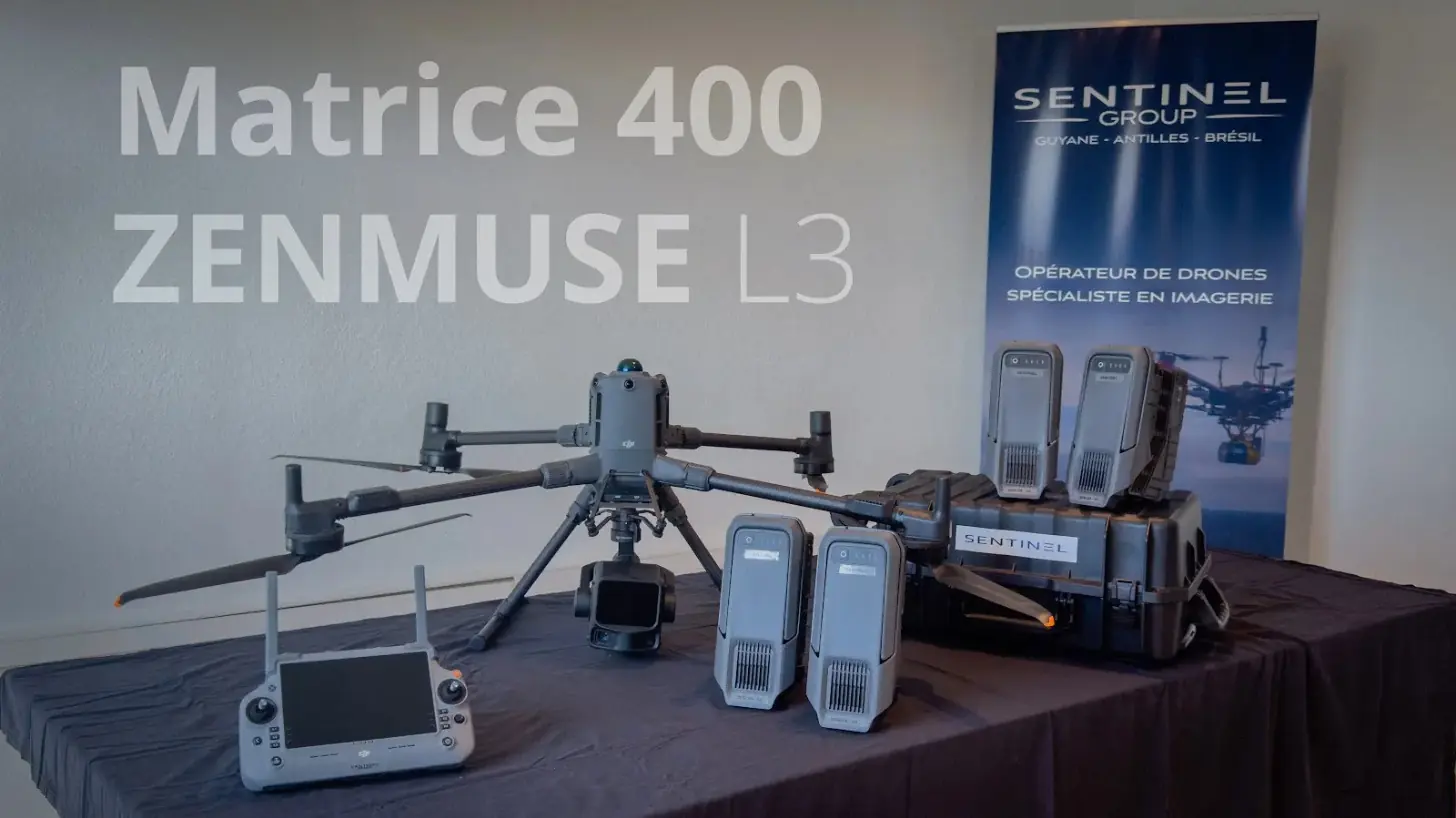
LiDAR under the Amazon canopy: the Matrice 400 and Zenmuse L3 join the fleet
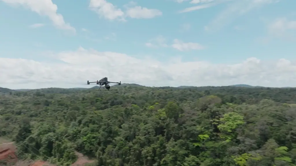
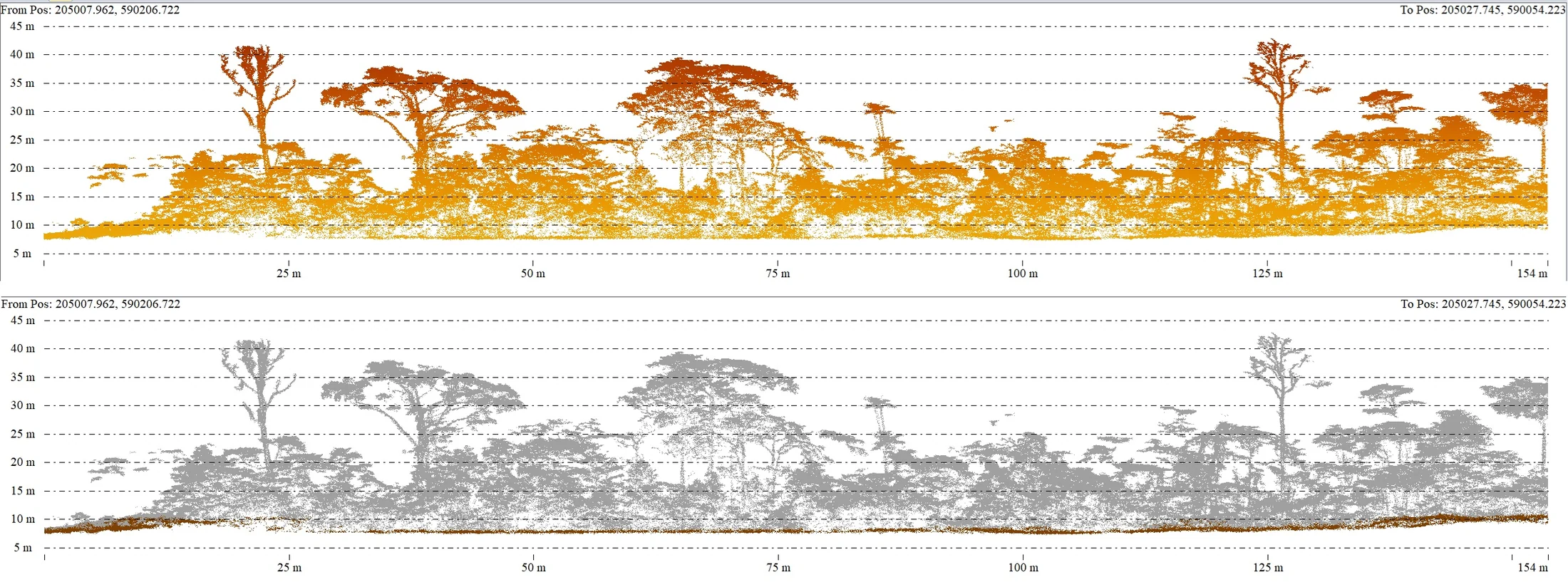
In French Guiana the LiDAR challenge is always the same: seeing the ground under a forty-metre forest. In spring 2026 we replaced our LiDAR system with a Zenmuse L3 mounted on a Matrice 400 drone, and spent the summer checking what it was really worth on our own sites, before committing it to client missions.
Validate before using
A first test dataset was acquired on 4 June. In mid-June a quality report compared three point-cloud processing methods, then the elevations obtained with those of our reference points on the Petit-Saut road and on the Matiti field, with PPK processing. The measured deviations, around 10 to 14 cm on the most severe checks, were documented before the system went into service.
The first documented client mission with this system took place on 1 September 2026, on a photovoltaic plant project in Macouria: 9 hectares surveyed at 100 m and 8 m/s, 487 points per square metre on average, of which 46 on the ground, checked on sixteen RTK-measured targets. The error on the ten independent check points is 1.95 cm in elevation for the LiDAR cloud and 2.4 cm in plan for the orthophoto produced in parallel with a 45-megapixel camera.
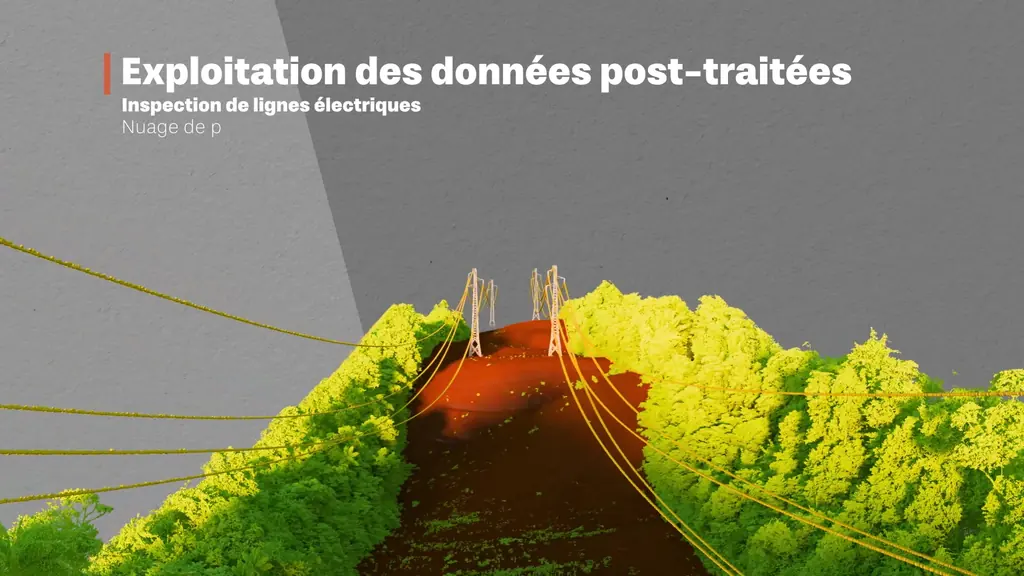
What the new system changes
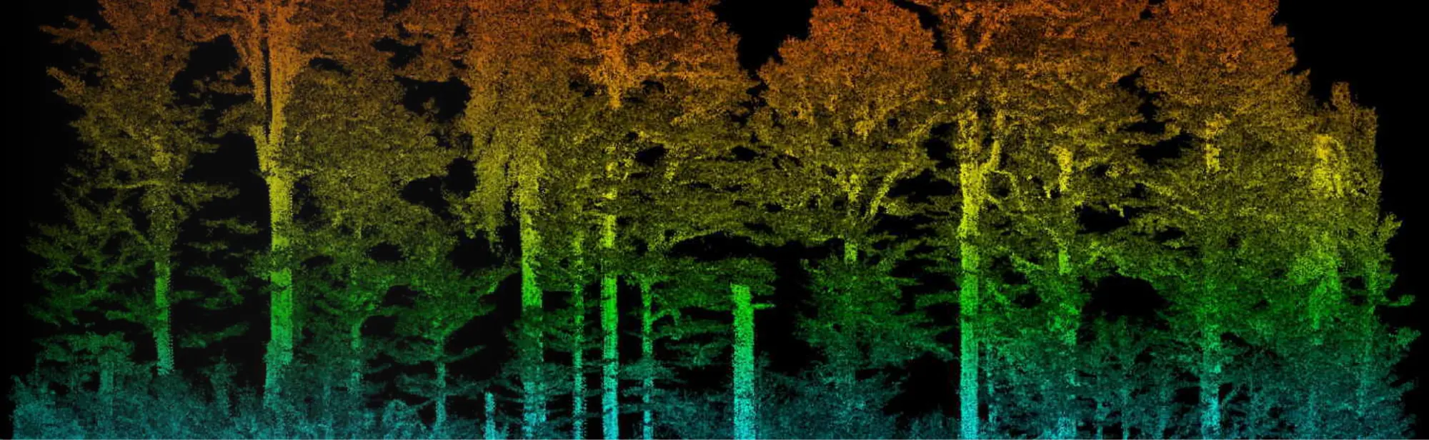
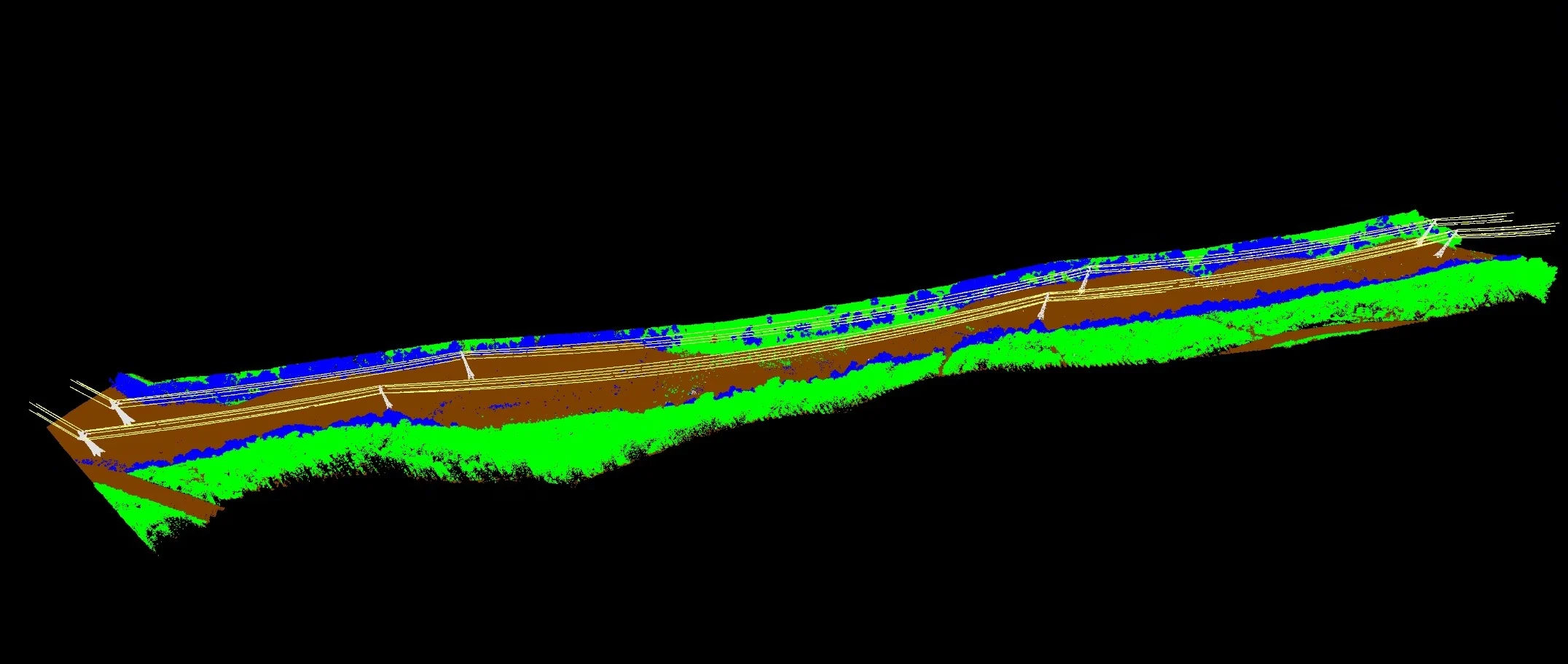
A longer-endurance drone with a safety parachute for specific-category operations, a sixteen-return LiDAR that penetrates vegetation better, and an integrated camera that colourises the cloud. For our clients, this means longer corridors per flight, more reliable terrain models under the forest and shorter processing times thanks to the manufacturer’s processing chain, which we combine with our photogrammetric tools.
The film shot for the occasion shows the system at work under the Guianese canopy, from take-off to the classified point cloud.