
Le Prêcheur: 32 hectares surveyed at the river mouth during the lahar crisis
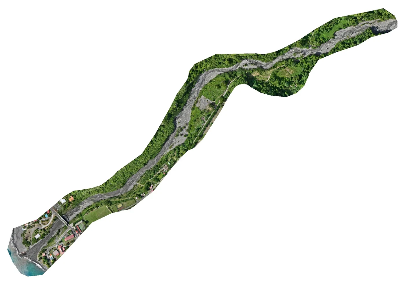
On 13 and 16 September 2025, lahars swept down the Prêcheur river, which flows from Mount Pelée, after part of the Samperre cliff collapsed. The sand and volcanic boulders carried by these flows choked the river mouth. In October, BRGM’s regional directorate in Martinique asked us for an elevation survey of the area: an orthophoto and a digital surface model over 32 hectares, from the mouth upstream.
A site with its own rules
BRGM prohibited any intervention under a Météo-France rain warning or when the upper catchment looked rainy, and required that the team could leave the riverbed at any moment by climbing the banks. On site, access points to the riverbed were few and the vegetation dense in places: it was difficult to surround the whole area with control points.
On 22 and 23 October 2025, we laid and measured the targets by GNSS, with an Emlid RS2 receiver corrected by the HABL permanent station of the Teria network, in Fonds-Saint-Denis. Eight targets were kept, three for control and five for checking; they range from 8.87 m to 99.13 m above sea level. The other points measured, hampered by vegetation, did not reach sufficient accuracy and were discarded.
Terrain-following flights
The flights took place on Thursday 23 October, from 2.40 pm to 4.10 pm, with a Mavic 3 Enterprise RTK: oblique imagery at 80 m above ground with real-time terrain following, 75% overlap in both directions, two crossed grids, north-south then east-west. Terrain following keeps the resolution even over a footprint that climbs from the sea towards the upper valley; image positions were corrected from the same reference station.
The processing figures
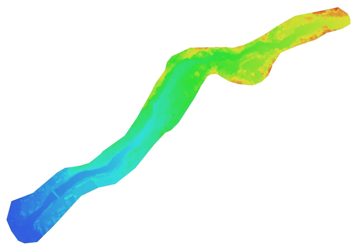
In Agisoft Metashape, all 2,778 images were aligned, with a reprojection error of 0.73 pixel. The dense cloud holds more than 222 million points. The orthophoto has a resolution of 3.7 cm per pixel; the digital surface model, computed at 7.46 cm, was delivered on a 20 cm grid. On the five check targets, the root mean square error is 3.72 cm horizontally and 5.85 cm vertically.
Delivered five days after the flights
On 28 October 2025, BRGM received the orthophoto as GeoTIFF and JPEG2000, the surface model as an ASCII grid and the mission report, with the coordinates and errors of each target, in RGAF09 / UTM 20N for planimetry and IGN87 for heights. The survey records the state of the river mouth five weeks after the September lahars, with a known accuracy on each check point.
The same workflow had been used eight days earlier at Pointe des Sables, Le Vauclin, for DEAL Martinique (27 hectares, 3.55 cm planimetric accuracy), and was applied again in September 2026 on the Saint-Pierre seafront (1.78 cm).


