
- Home
- French Guiana
- Saint-Georges-de-l’Oyapock
Saint-Georges-de-l’Oyapock
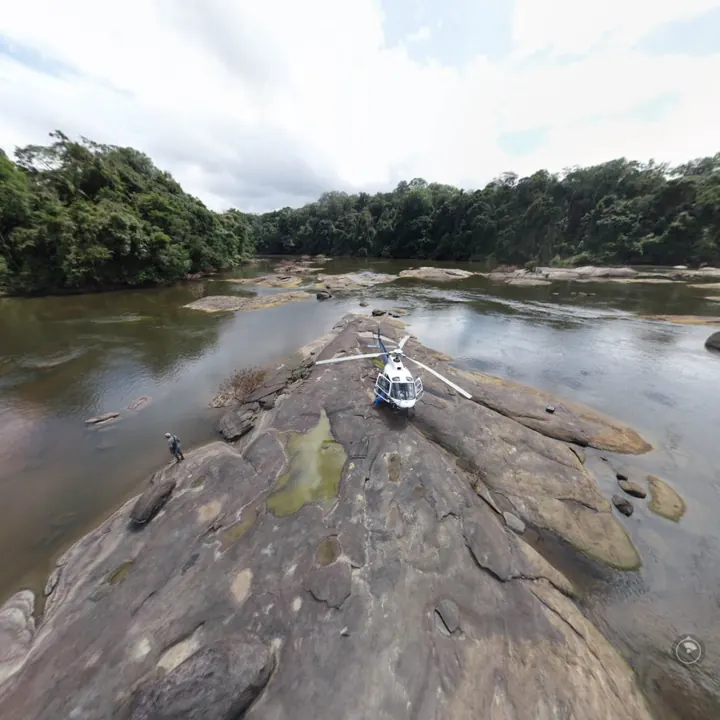
On the Oyapock river, facing the Brazilian town of Oiapoque, Saint-Georges has been linked to Brazil by the Oyapock bridge since 2017. In 2021 we surveyed by LiDAR, for CNES, a 60 ha forest corridor there (2 km by 300 m, over 300 million points) to study the lines of sight between a radar and a collimation mast 2.1 km away while limiting clearing. In 2019 we had measured the position and height of telecommunications antennas on four sites along the Oyapock, from Saint-Georges to Trois-Sauts, seven to nine hours away by pirogue; in 2020, imaging tests from Saut Maripa detected pirogues more than 15 km away. In 2024 we inspected the 135 supports of the Saint-Georges lot of medium-voltage lines.
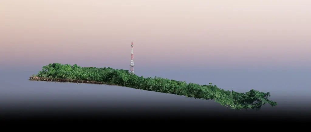
Key facts
| 2021 LiDAR corridor | 60 ha, 2 km × 300 m, over 300 million points |
|---|---|
| Oyapock bridge | Opened in 2017 |
| Missions listed | 2 |
On the map
2 missions at this location
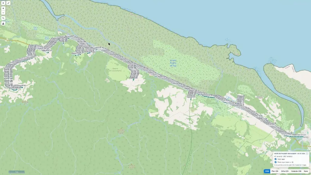
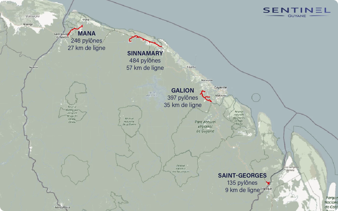
Inspection of 1,262 supports along 128 km of medium-voltage lines
Four lots: Galion, in Montsinéry-Tonnegrande (397 supports), Mana (246), Sinnamary – Iracoubo (484) and Saint-Georges (135). From 17 September, 19 flying days and 7,854 photos, about six per support following the operator’s method, up to 99 supports in one day.
- 1 262 supports
- 128 km
- 7 854 photos
Position and height of telecom antennas on four sites along the Oyapock
Between Saint-Georges and Camopi: overall views, photogrammetry, 3D model and orthophoto plan of each site, with the relative height of the antennas and towers. At Saint-Georges the antenna was measured at 59.2 m and its position computed to a hundredth of an arc second.
- 4 sites
- 59,2 m Saint-Georges antenna
Tell us about your project
Location, area or structure, expected deliverables and timing: with these details we can propose a method and a quote.
97310 Kourou
French Guiana
Route des Trois-Îlets
97229 Les Trois-Îlets
Martinique
20030-041 Rio de Janeiro – RJ
Brazil