12,647 hectares of 3.5 cm orthophotos for the land agency of French Guiana
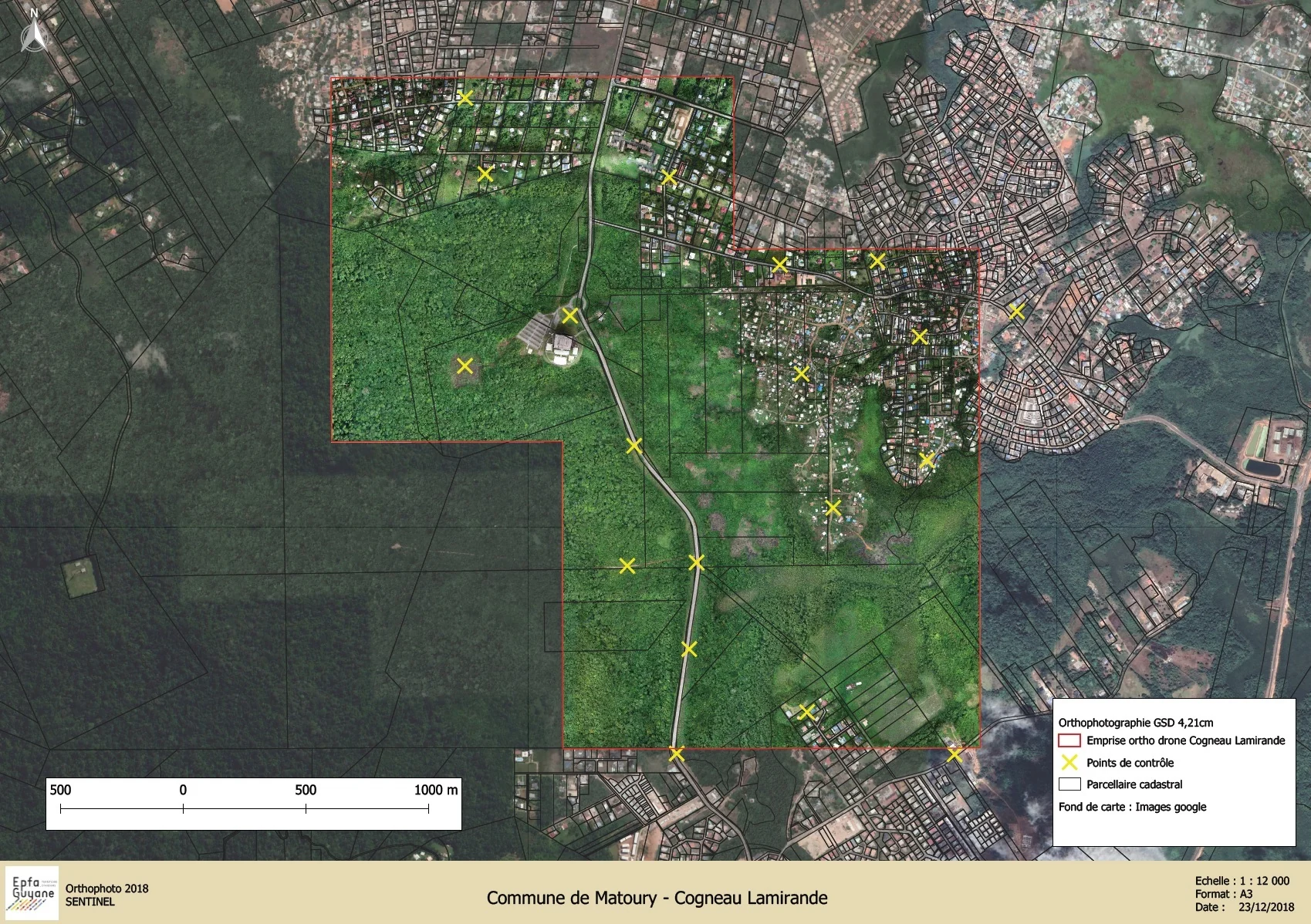
The public land and development agency of French Guiana (EPFA Guyane) works on land spread across several coastal municipalities. At the end of 2023 it ordered recent orthophotos of eight sectors from us, each of 205 to 3,856 hectares, 12,647 hectares in all: Cogneau-Lamirande in Matoury, the Georges-Othily eco-district in Rémire-Montjoly, Palika in Cayenne, Soula, Sablance and Maillard then Sud-Bourg and Préfontaine in Macouria, Wayabo and the Roches Gravées development zone in Kourou, and Yaoni in Cacao.

Three months of flying
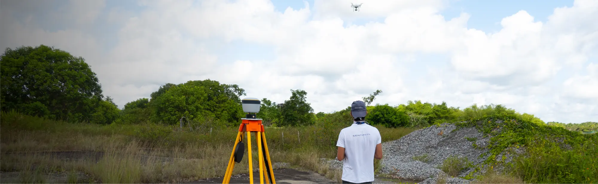
Acquisition began on 4 December 2023 in Macouria and ended on 1 March 2024 in Cacao. Two RTK drones flew at 120 m on north–south lines, with 85% forward and 75% side overlap, for a resolution of 3.5 cm per pixel. In total: 343 flights, 97 hours in the air, 4,284 km flown and 184,464 photos.
The largest sector, Wayabo in Kourou, covers 3,856 hectares: 55,395 photos taken from 20 December 2023 to 3 January 2024. The smallest, the Georges-Othily eco-district, covers 205 hectares, photographed in a single day on 12 December.
Ground control, sector by sector
Each sector was adjusted on GNSS-measured ground control points, 50 in all, then verified on 26 independent check points kept out of the computation. Positioning relied on the permanent stations of the Teria network: RTK for five sectors, PPK for Sud-Bourg and Wayabo.
In Cacao no station lay within 20 km. After a trial at the end of December, we measured sixteen points there by PPP: six base positions, each observed for 45 minutes, then seven control points and three check points, observed for 30 minutes. The flights were then carried out with an RTK base moved from one position to the next.
Files ready for GIS
Each orthophoto was delivered in ECW and JP2, in the RGFG95 / UTM 22N system, with the position of every exposure as a shapefile, ISO 19115 metadata and a mission report. A first delivery on hard disk took place in February 2024. After the agency’s comments, a transparency band missing from one ECW file and an incomplete projection in one JP2 file, the corrected files were accepted on 7 March 2024. Processing took more than 500 hours.
Before this campaign, in October 2023, we had surveyed Saint-Laurent-du-Maroni for the agency: 815 hectares of orthophoto at 3.2 cm and 223 hectares of LiDAR, with 50 cm terrain, surface and height models, contour lines and layers of buildings, roads, water and forest.