
The Enfant Perdu lighthouse, inspected from a boat
On 9 December 2025, for the Lighthouses and Beacons unit of DGTM, photographic coverage of the lighthouse and its islet, with the drone taking off from a boat that stayed offshore. In March 2024 we had photographed the Île Royale lighthouse for the same department.
Background
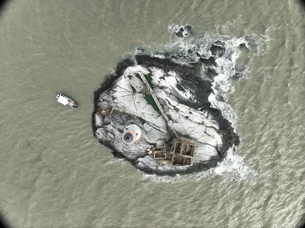
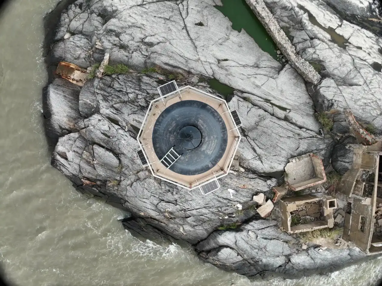
L’Enfant Perdu is a rocky islet off Cayenne. It carries a lighthouse, its solar-panel platform and the ruins of the former keepers’ buildings; landing on it is impossible. In 2024 the sea, coast and rivers directorate scheduled a detailed inspection of its lighthouses by Cerema engineers and ordered drone imagery of the inaccessible parts from us: the Île Royale lighthouse on 6 March 2024, then the Enfant Perdu. For the latter, the helicopter mission could not take us on board, and the Lighthouses and Beacons unit organised a trip by sea.
What we did
On 9 December 2025 we left Le Larivot at 7 am, at the time set by the tides, aboard an 8 m aluminium launch fitted with a bow platform. The drone took off from this platform and returned to it on every flight, while the boat stayed off the islet. Coverage includes vertical and oblique views of the lighthouse, its platform and the islet. The inspection photos were delivered the same day, with a selection of overall views for the department’s communication. On Île Royale, in March 2024, the photos had been sorted by part of the structure: north, south, east and west faces, pillars, upper cylinder, collar and dome.
2 related missions in the log
Photos of the Enfant Perdu lighthouse from a boat
On 9 December 2025, for the Lighthouses and Beacons unit: take-offs from the bow platform of an 8 m launch, as the islet cannot be landed on, and inspection photos delivered the same day. The Île Royale lighthouse had been photographed in March 2024 for the same department.
Read the articleDrone imagery of the Île Royale lighthouse
On 6 March 2024, during the detailed inspection of the lighthouse by Cerema: photos of the inaccessible parts, sorted by face and element, from the pillars to the dome.
Read the article
Gallery
Other projects

12,647 hectares of orthophotos at 3.5 cm for EPFA Guyane
From 4 December 2023 to 1 March 2024, eight sectors photographed at 3.5 cm per pixel, from Cayenne to Cacao: 343 flights, 184,464 photos, 50 ground control points and 26 check points. A second 6,545-hectare campaign began on 16 October 2026; its first sector was delivered on 19 October.
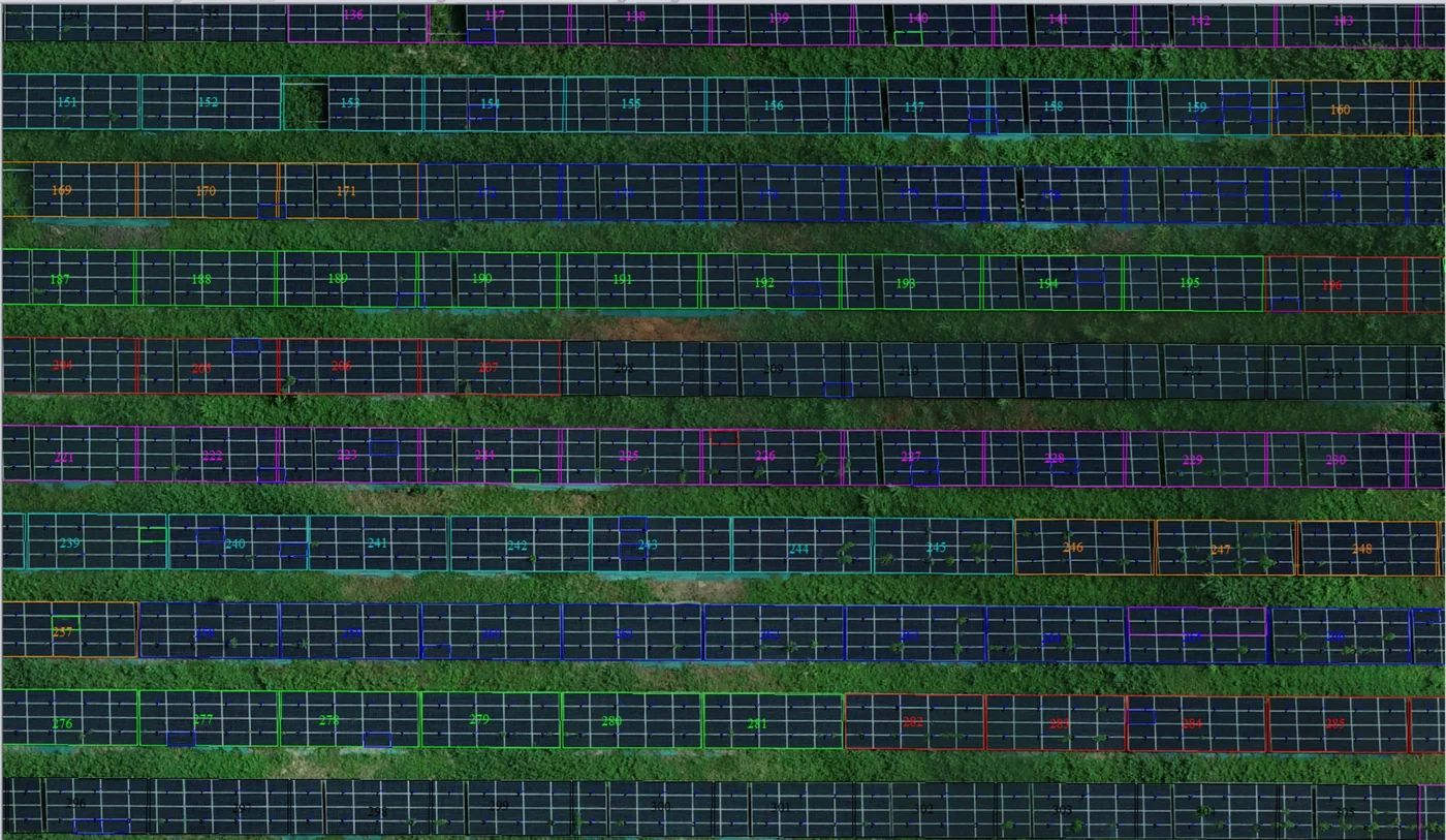
Corossony solar plant: 1,472 concrete footings surveyed at 2 mm per pixel before repowering
A 1:500 topographic plan of the plant in operation in September 2024, then the position and height of each of the 1,472 footings kept for the new structures, in December 2025.
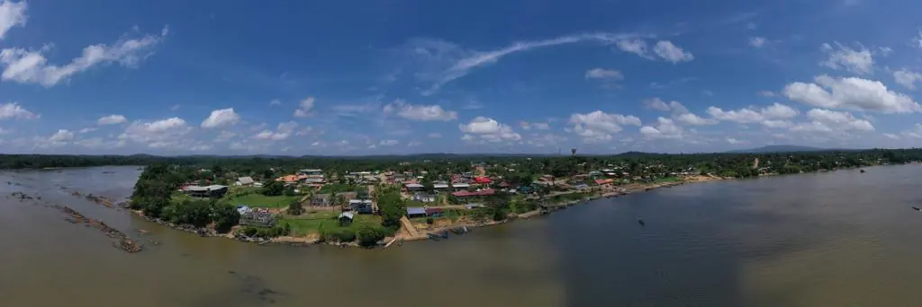
Waste in western French Guiana: eight visits in Saint-Laurent, four Maroni villages at 1 cm
Since October 2024, photos taken from the same viewpoints at every visit to the Saint-Laurent-du-Maroni waste storage facility, with a 3 cm orthophoto and a plan since December 2024; in February 2026, the waste sites of four river villages surveyed at 1 cm.
Tell us about your project
Location, area or structure, expected deliverables and timing: with these details we can propose a method and a quote.
97310 Kourou
French Guiana
Route des Trois-Îlets
97229 Les Trois-Îlets
Martinique
20030-041 Rio de Janeiro – RJ
Brazil