
- Home
- Projects
- Petit-Saut sawmill: 31 monthly visits, three time-lapses and eight years of missions on the lake
Petit-Saut sawmill: 31 monthly visits, three time-lapses and eight years of missions on the lake
For Triton, which harvests the drowned timber of the Petit-Saut lake, we photographed the lake as early as 2018, then followed the sawmill construction every month from March 2023 to September 2025. In 2026 came a virtual tour, a corporate film and stockpile volumes on the platforms.
Background
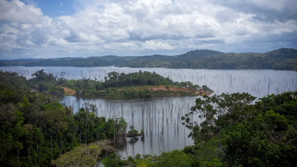
The impoundment of the Petit-Saut dam, from 1994, drowned a forest whose dead trees still stand in the lake. Triton, a Voltalia subsidiary, harvests these trees and processes them in a sawmill built on the shore, next to Voltalia’s biomass plant. Our first missions helped prepare the project: imagery of the resource in 2018 and a search for giant otter dens on the islands near the landing in 2020. Photo monitoring of the construction was ordered in January 2023, together with a baseline for the visual impact assessment.
What we did
In July and August 2018 we photographed, from a boat, six areas of the lake defined by Triton, 1,865 ha in total: 2,700 georeferenced photos at 15 cm per pixel, delivered on 9 August for the client to produce its own orthophotos. In January 2020 two drone outings, with a 4K wide-angle camera and then a 30x zoom, were used to inspect the island shores; no den was found. In February 2023 eight reference viewpoints, seven on the ground and one aerial, and an orthophoto recorded the initial state; a monthly photo visit then covered the northern and southern platforms, from 6 March 2023 to 23 September 2025. Three site cameras were run: April to June 2023, on the southern platform from April to August 2024, and in the sawmill from July to mid-November 2025, the last edit delivered in December with the months shown on screen. In 2026 we produced an orthophoto of the site in January, shot the footage for a corporate film between January and August, delivered on 14 October with a short version, and rebuilt the virtual tour of the lake and platforms: 35 panoramas, five videos and ten albums in May, 360° videos in August. After the survey of 21 July, the orthophoto and 3D model of the platforms were shared online so that the operator could draw the outline of its stockpiles itself, and three volume plans were delivered.
8 related missions in the log
Trial analysis of the submerged trees of the Petit-Saut lake
A 3 ha test plot chosen by the operator to assess the submerged timber resource by drone; mission scheduled for 22 October 2026.
Corporate film for the Petit-Saut sawmill
Shoots from January to August 2026, from the lake to the sawmill output; 40-second short version in September, full film delivered on 14 October 2026.
Read the articleNew virtual tour of the Petit-Saut sawmill and lake
May 2026 version with 35 panoramas, five videos and ten albums, extended following the operator’s feedback; version 2 online on 24 August with 360° videos.
- 35 panoramas
Photogrammetric survey and stockpile volumes on the sawmill platforms
Survey of the northern and southern platforms on 21 July 2026: orthophoto and 3D model shared online, stockpile outlines drawn by the operator, three volume plans (northern, central and southern areas), continuing the site monitoring begun in March 2023.
Read the articleTime-lapse of the Petit-Saut sawmill, July to November 2025
Camera installed on 1 July 2025 for three months, extended at the operator’s request until 18 November; edit with its logo and the months on screen delivered on 12 December, final version on the 15th.
A 44-panorama virtual tour and video for the inauguration of the Petit-Saut sawmill and energy hub
Tour plan agreed with both operators, 44 aerial and ground panoramas of the plant and the sawmill, nine albums from the 2023–2025 site monitoring, offline version for the event screen; video edited from the construction archive, delivered on 13 October for the inauguration on the 14th.
- 44 panoramas
Other projects

12,647 hectares of orthophotos at 3.5 cm for EPFA Guyane
From 4 December 2023 to 1 March 2024, eight sectors photographed at 3.5 cm per pixel, from Cayenne to Cacao: 343 flights, 184,464 photos, 50 ground control points and 26 check points. A second 6,545-hectare campaign began on 16 October 2026; its first sector was delivered on 19 October.
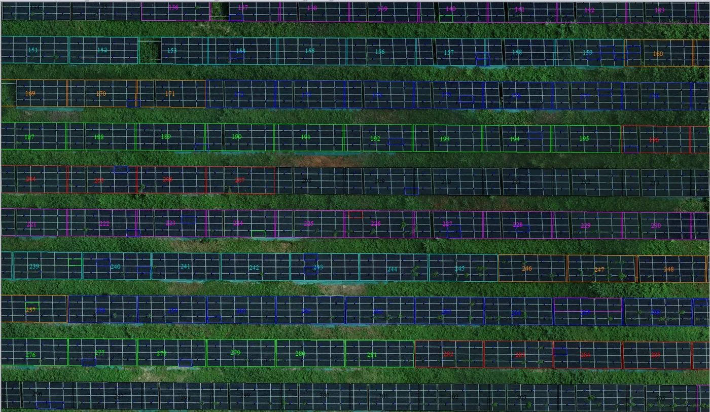
Corossony solar plant: 1,472 concrete footings surveyed at 2 mm per pixel before repowering
A 1:500 topographic plan of the plant in operation in September 2024, then the position and height of each of the 1,472 footings kept for the new structures, in December 2025.
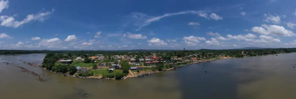
Waste in western French Guiana: eight visits in Saint-Laurent, four Maroni villages at 1 cm
Since October 2024, photos taken from the same viewpoints at every visit to the Saint-Laurent-du-Maroni waste storage facility, with a 3 cm orthophoto and a plan since December 2024; in February 2026, the waste sites of four river villages surveyed at 1 cm.
Tell us about your project
Location, area or structure, expected deliverables and timing: with these details we can propose a method and a quote.
97310 Kourou
French Guiana
Route des Trois-Îlets
97229 Les Trois-Îlets
Martinique
20030-041 Rio de Janeiro – RJ
Brazil