
Shading studies: 162 rooftop solar plants modelled in 3D in Martinique, Guadeloupe and French Guiana
On a rooftop solar plant, a tree that has grown, a neighbouring building or a pole can take away part of the output. To put a figure on these losses, Systeko, which installs and maintains rooftop plants in the French Caribbean and French Guiana, simulates the expected yield of each plant in PVsyst. For that it needs a 3D model of the roof and its surroundings, and photos that show the cause of each shadow.
The first request, in February 2025, covered some thirty sites in Martinique. The list agreed in the spring had 162: 118 in Martinique, 33 in Guadeloupe and 11 in French Guiana. It includes 61 houses, as well as warehouses, churches, garages, restaurants and apartment blocks.
A 100-metre circle around each roof
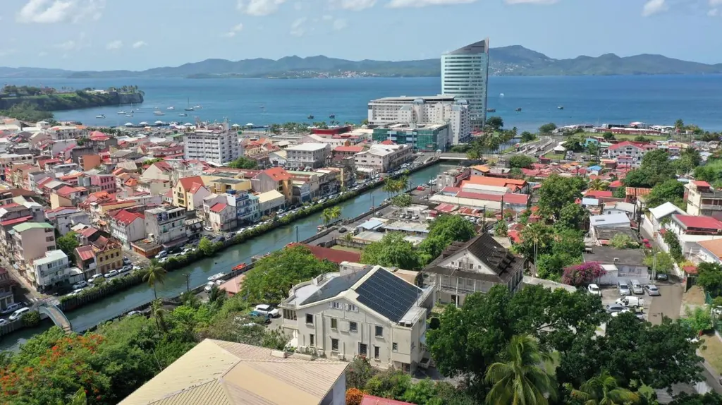
For each plant we drew a circle with a 100 m radius around the GPS point supplied by the installer and loaded it into the drone as the acquisition area. Inside it the drone takes the images used to compute the 3D model, then four photos from four different angles. The installer wanted more detail within the first 50 metres; beyond that, the standard definition was enough.
Flights started in French Guiana in the week of 12 May. A team from Martinique then moved on to Guadeloupe: by 23 May all 33 plants on the island had been delivered. The 118 plants in Martinique were surveyed from 15 May.
A progress report every week
At the end of each week the installer received a status update: 12 plants delivered on 17 May, 70 on 23 May, 98 on 30 May, by which time French Guiana was complete, 134 on 7 June and 153 on 14 June. All 162 were delivered on 19 June, within the agreed timescale. Data were uploaded as they came to a shared space, with a tracking sheet for each territory.
A light model and photos that speak for themselves
The deliverable is designed to be used as it is. The 3D model, exported in 3DS format, is deliberately simplified: it has to open in the simulation software, and the installer’s team lightens it further in Blender before importing it into PVsyst. The four oblique photos are there to identify where each shadow comes from; requested at 2 MB, they were delivered at under 3 MB on average to keep their detail. On 23 May, at the request of one of the installer’s partners, we produced a trial model keeping only the volumes above the roofs, without the cars; the original format was retained.
What the fieldwork involved
Flying over 162 occupied properties means warning every one of them. Occupants were informed by the installer, then our pilots called them to set a time; a missed appointment means filing a new flight request. The lists were also cross-checked against our earlier surveys: the coordinates of one plant were corrected using the drawing delivered when its roof was first measured, and a site that had already been modelled, listed in two orders, was processed only once.
A second order before the first was finished
On 13 June, six days before the final delivery, the installer ordered a second batch, settled on 18 June at 61 plants in Martinique and French Guiana, to the same specification. The idea was to simulate each plant’s output before and after cutting back the vegetation that shades it.


