
Crique Fouillée: locating the debris jams along 2.8 km of creek before dredging
Crique Fouillée flows into the Cayenne river. In mid-July 2026, the stormwater structures unit of the Communauté d’agglomération du Centre Littoral asked us for a condition survey of the watercourse and its banks, from the Crique Fouillée roundabout, on the boundary between Cayenne and Matoury, down to the mouth. Ahead of future maintenance and dredging works, the request met three needs: to locate the debris jams in the bed, trees, branches and other obstacles; to assess the general condition of the banks; and to find where an excavator will be able to reach the bed.
A 50-metre strip on each side of the axis
The request was for photos and a video. To meet those three needs, we proposed adding a georeferenced orthophoto covering a 50 m strip on either side of the creek, along the whole stretch: debris jams are visible and located in coordinates the teams can use directly, and distances can be measured. The debris jams and bank access points identified are reported on a plan; a video of the stretch completes the set for assessing the banks.
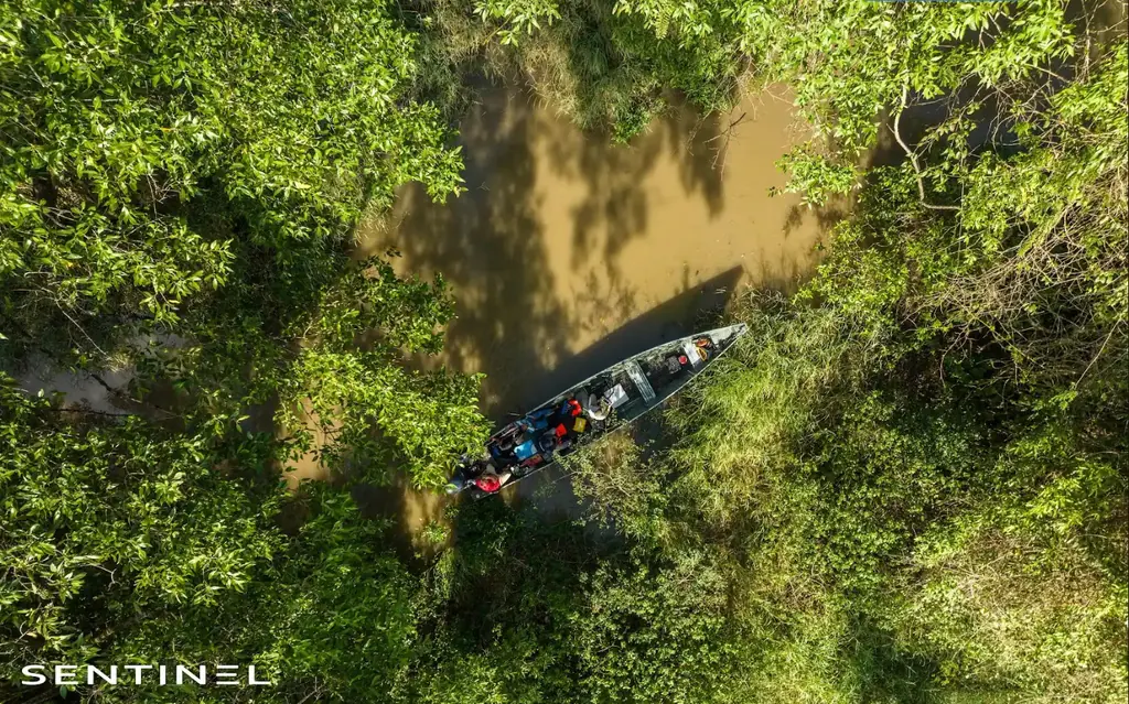
The flight requests were filed on 26 August for 10 and 11 September, in line with the regulatory notice of ten working days. Both days were reserved with the service, the final slot to be chosen at the last minute according to the weather and the tides. On 10 September 2026 the drone was first flown from the roundabout for the upstream part. For the stretch near the mouth, the team boarded a dugout canoe, with two agents of the stormwater service on board, and the drone was piloted from the boat.
Delivered in five days
The deliverables went out on 15 September: the 15 mm per pixel orthophoto in ECW format, georeferenced in French Guiana’s legal reference system; the plan of debris jams and access points; the video of the stretch, in two versions, one of them with the GPS position. The orthophoto can also be viewed for twelve months on Sentinel Cloud, in a browser with no software to install: users can zoom, measure and share the link with their teams or with the dredging contractor.
Two more watercourses in Rémire-Montjoly
On receiving the deliverables, the service thanked the team for the work. In early October it kept the same principle, a 50 m strip on either side of the axis, for two watercourses in Rémire-Montjoly: about 4 km on the Cabassou creek, including the Eau Mignon creek, and about 3.7 km on the North-South canal, down to its outlet into the Mahury. The urban community approved this second mission on 16 October 2026 and wishes to attend it. LiDAR, requested as an option, could not be offered: since the regulations changed, the heavy drones that carry these sensors can no longer fly over built-up areas without certification.


