63 kV Bouillante – Sainte-Rose line: three pylons deep in the forest, photographed part by part
Pylons 36, 37 and 38 of the 63 kV Bouillante – Sainte-Rose line stand inside the Guadeloupe national park, along the Trace des Contrebandiers: reaching them takes an hour and a half to two hours on foot. In April 2026, Omexom THT Antilles-Guyane asked us for a detailed drone inspection of these three structures.
A part-by-part specification
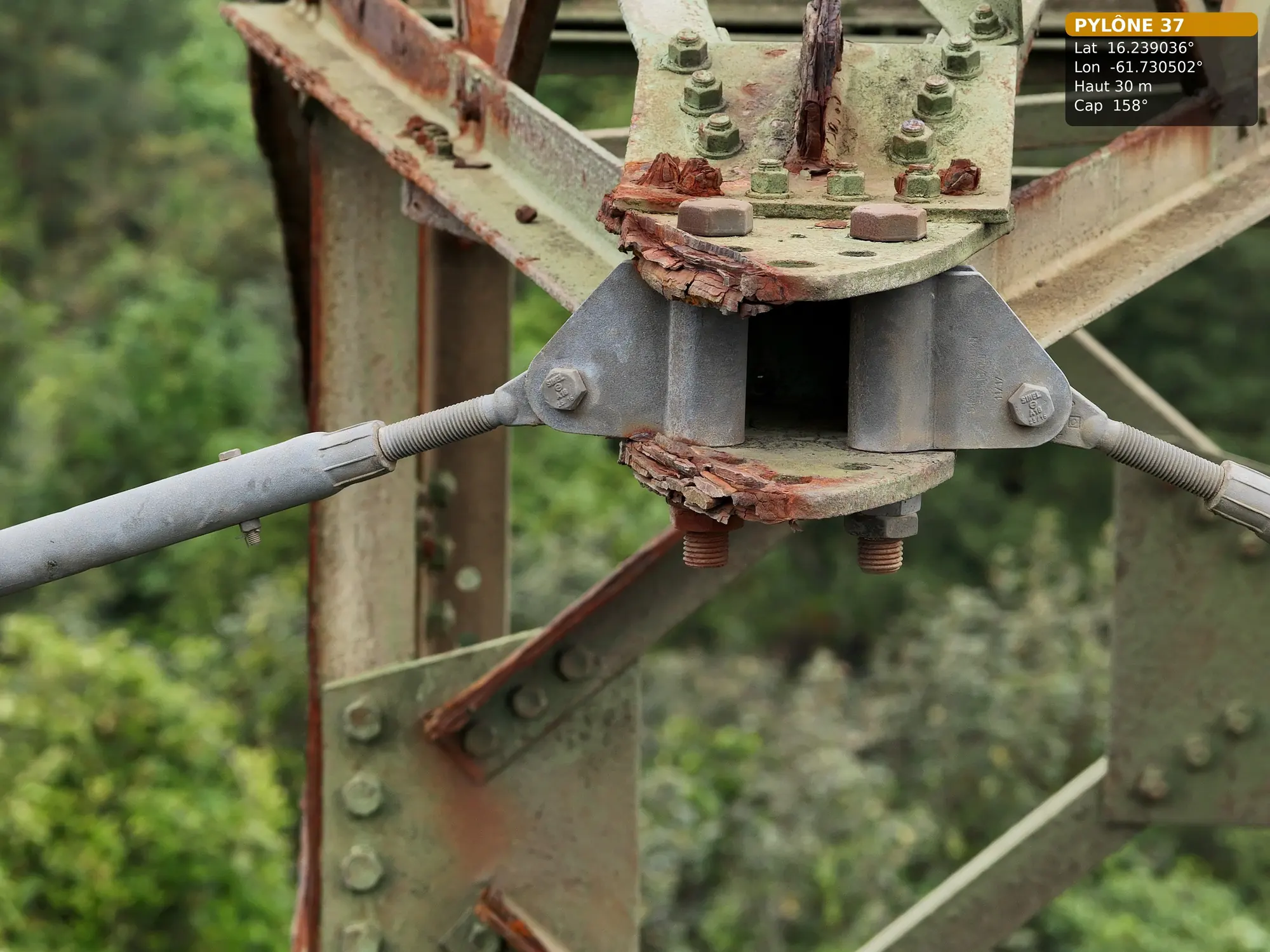
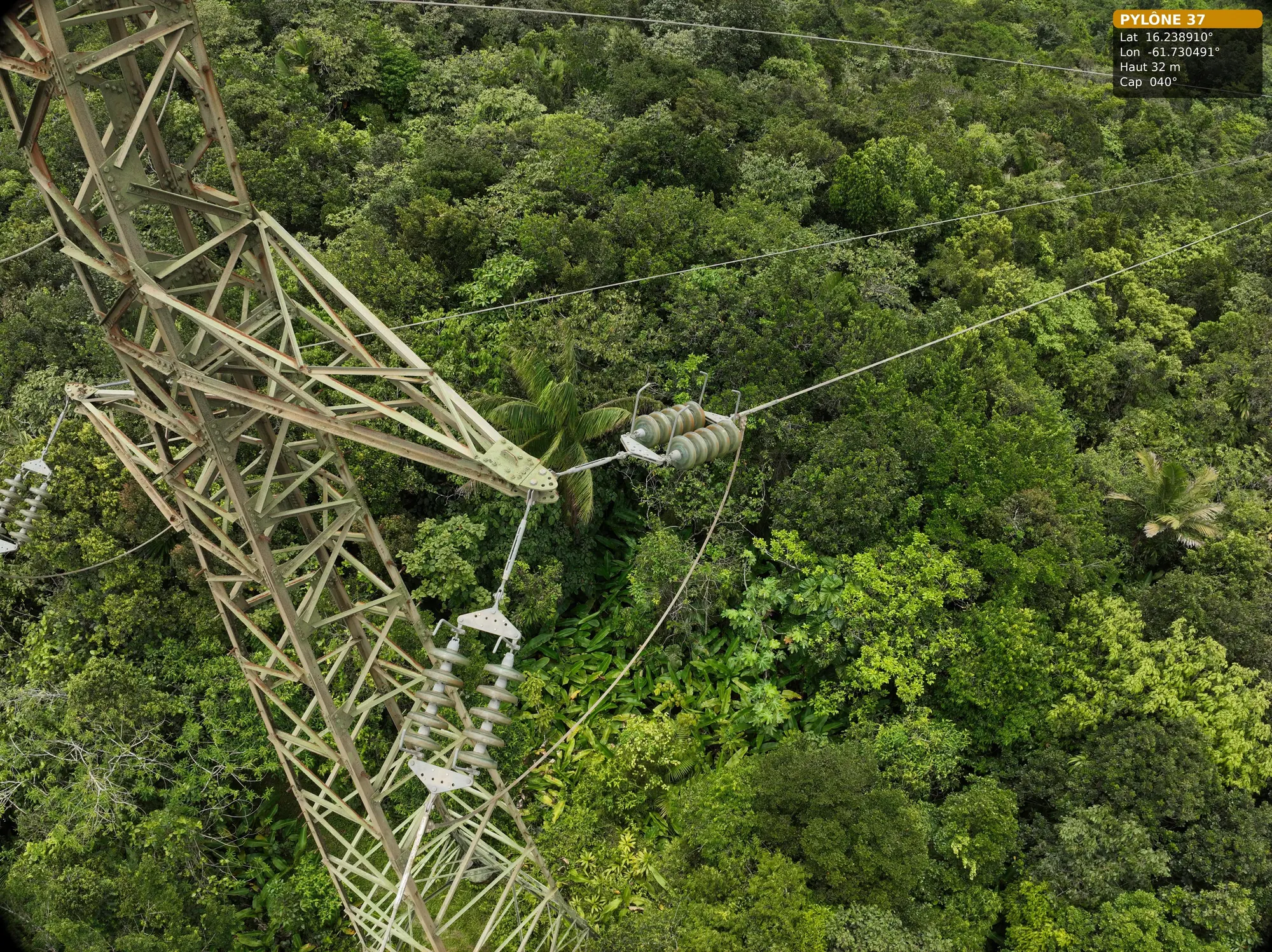
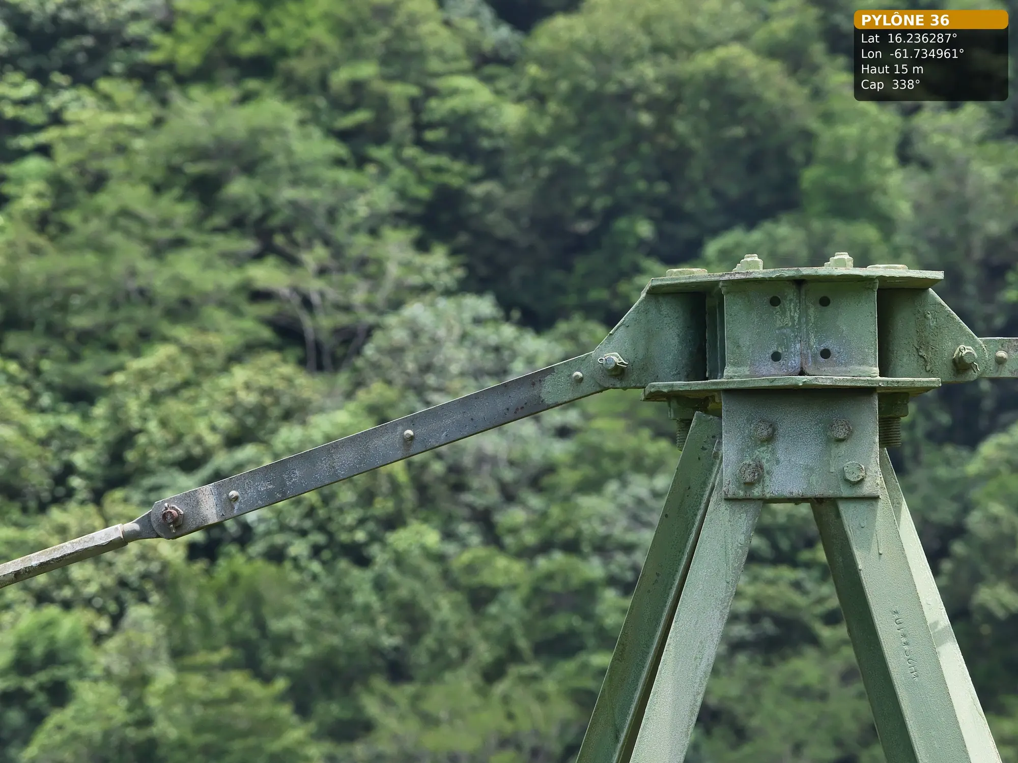
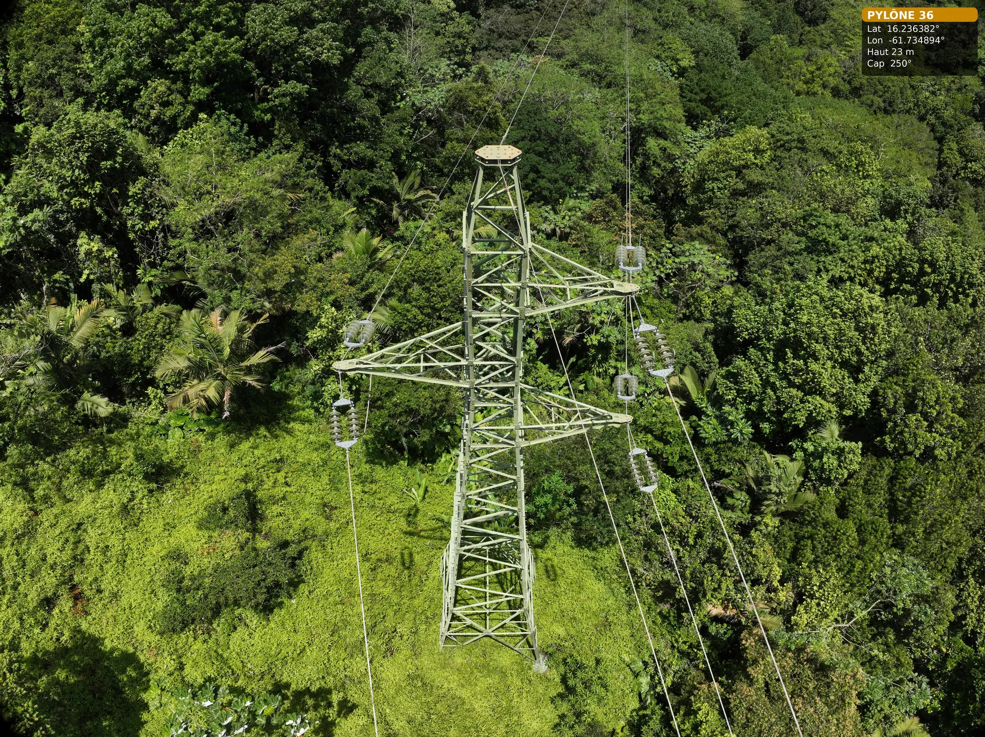
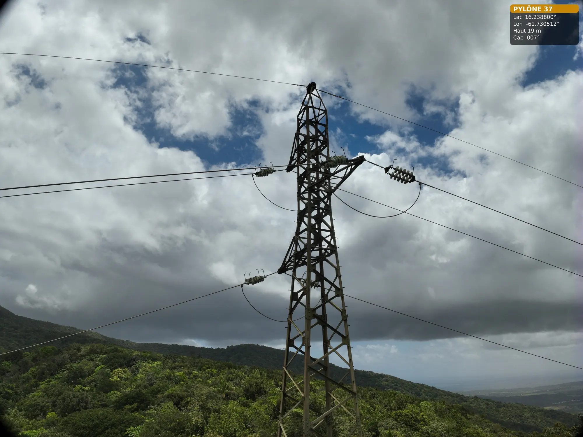
For each pylon, the specification called for the four faces from top to bottom, every cable attachment, the insulator strings with the metal fittings linking the insulators, the anchoring sleeves and the earth-wire anchorage, the suspension clamps of the conductors and earth wire, the surroundings, the access and the spans on either side of the structure. Each defect had to be located on a silhouette of the pylon, and the report had to make it possible to find one’s way according to the direction of the line.
The acquisitions were entrusted to our partner Antilles Drone. Its operating procedure, sent before the mission, followed the same order for each pylon: identification of the take-off area and obstacles, access and surroundings, vertical view then a round of the four faces and four corners, a climb by stages face by face, then attachments, insulators, suspensions and anchorages, and a check of the photos on landing. The site lies in an unpopulated area inside the airport control zone, so flights stay below 50 m. An Omexom employee accompanied the team, as this mountain trail is not one to walk alone.
Two days in the field
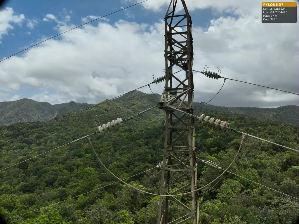
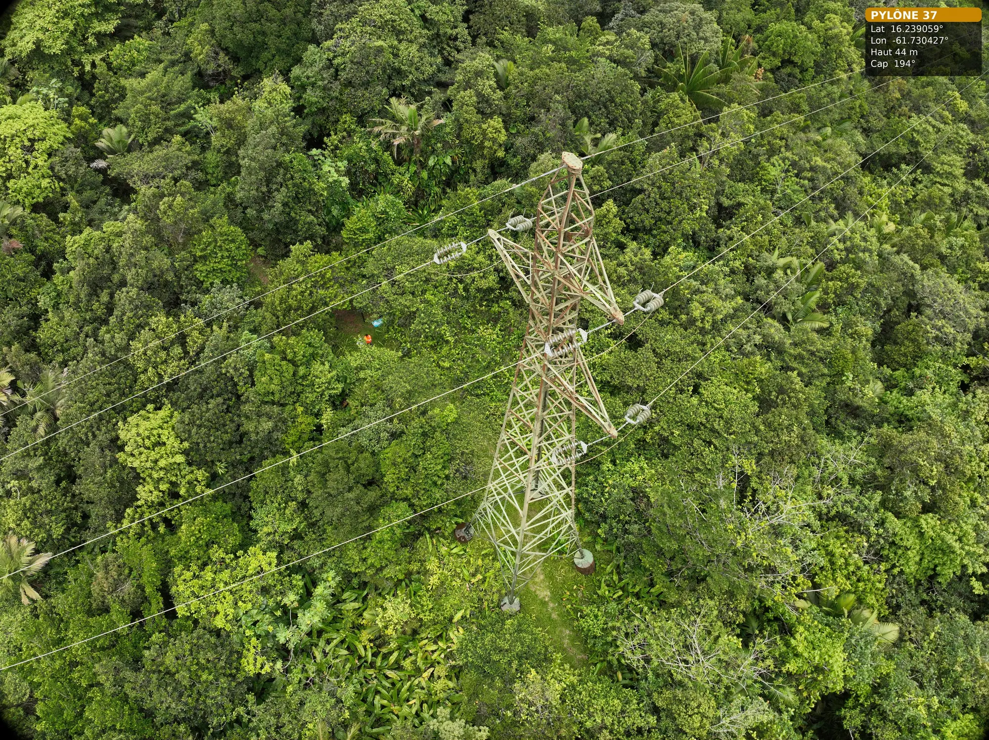
On 2 June, pylon 37, at the top of the hill, was fully covered: general views, surroundings, structure and equipment. Pylons 36 and 38, 700 m further down on the western and eastern slopes, could only be photographed from a distance, as close as the radio link allowed. The constraint was not the arrival time but access: slow progress from one pylon to the next and take-off positions hard to find under the forest.
A second day was organised on 15 July, with no change to the quote, to complete pylon 36: 178 photos, from the general views to the access, the earth-wire anchorage and the spans towards pylons 35 and 37, then the structure on all four faces, going down and then back up with the zoom, and finally the three arms with their anchorages and insulators.
The deliverable
The photos were delivered in two batches, on 3 June and 16 July, sorted by pylon. Each image keeps the drone’s position, height and heading, so the part photographed can be found again in the field.
The same day, in French Guiana
On 2 June, while the Guadeloupe team was climbing towards pylon 37, our pilots in French Guiana were carrying out a fault check for the same client on a 90 kV line in Macouria, before inspecting five wooden supports at Matiti the next day: 511 photos and 106 rated anomalies.