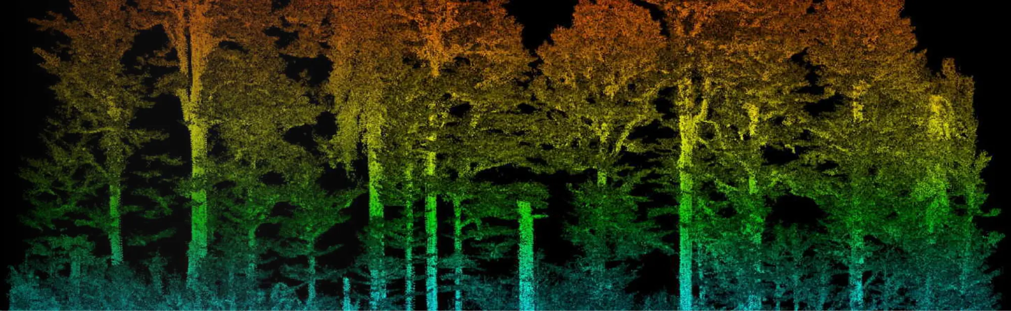
Two forest plots surveyed by LiDAR for the University of French Guiana, on the Approuague and in Sinnamary
The Espace-Dev joint research unit of the University of French Guiana studies the forest from the air, down to the detection of tree species. In 2025 it entrusted us with two study plots: 16 hectares on the Approuague, thirty minutes by dugout canoe from Régina, in July, then 48 hectares in Sinnamary, in October. On each it wanted two complementary products: a 3 cm per pixel orthophoto, to tell tree crowns apart, and a LiDAR survey, to measure the vegetation structure and the ground beneath the canopy.
Taking off from a dugout canoe
The request reached us on 9 July 2025 and the flights took place a week later. The Approuague site is reached by canoe from Régina. On 16 July every flight, photo and LiDAR alike, took off from the boat and landed back on it. We had asked for a canoe reserved for the team: the LiDAR drone is bulky, and there has to be room on board to prepare it, change batteries and recover it at the end of each flight.
What each sensor measures
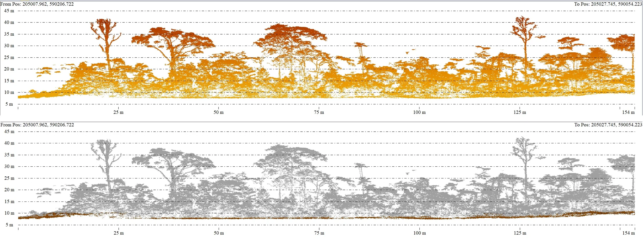
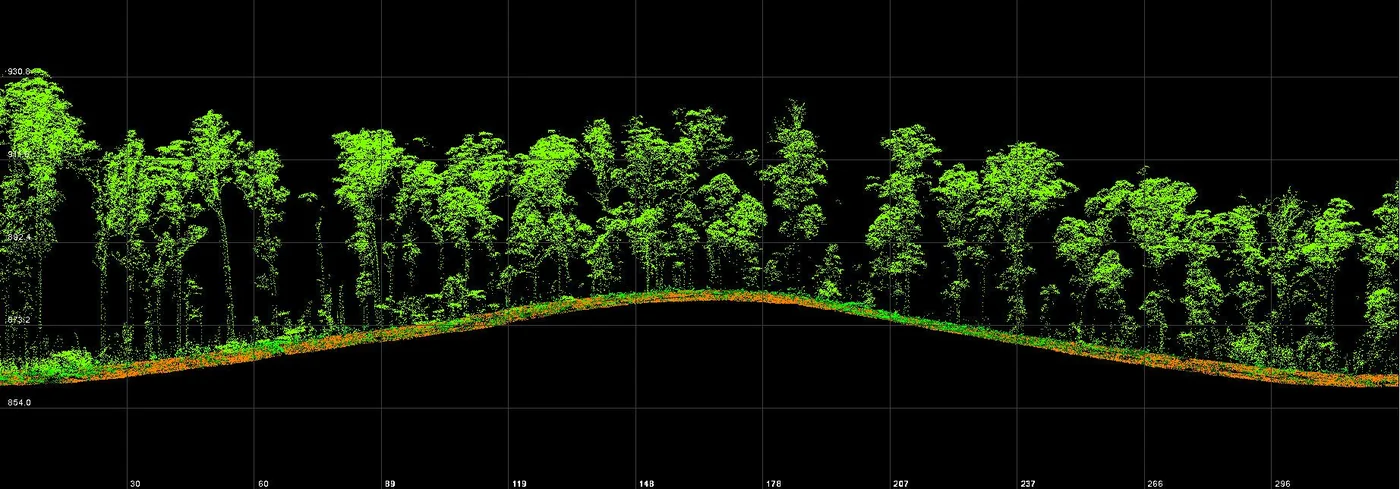
Photography renders the canopy as seen from above: at 3 cm per pixel each crown stands out from its neighbours, which is what species recognition relies on. LiDAR sends laser pulses, some of which pass through the foliage down to the ground. The point cloud separates the terrain from the vegetation, giving a terrain model, a surface model and, by difference, a canopy height model.
For the Approuague, the data were delivered on 21 July, five days after the flight: 3 cm orthophoto, 10 cm surface model, 50 cm terrain model, canopy height model and above-ground point cloud.
From wind in the treetops to crossed lines
On the Approuague orthophoto, some crowns looked blurred. In a forest, the wind moves the treetops between two successive photos, and the fine structures of the canopy, such as the thinnest branches, are poorly reconstructed. For Sinnamary we therefore flew crossed lines: each area is photographed in two directions, which multiplies the viewpoints on every crown.
The Sinnamary survey took place on 17 October 2025. On 21 October we delivered the 3 cm orthophoto, the terrain, surface and height models, all resampled to 20 cm, and the ground and above-ground point clouds, four days after the flight.
Files ready to use
The models are delivered as GeoTIFF and the clouds as LAS, in the RGFG95 / UTM 22N system with NGG77 heights. The laboratory can overlay the orthophoto, the height model and its own field records directly in its GIS.