
- Home
- Projects
- Approuague and Sinnamary forest: LiDAR and 3 cm orthophotos for the University of French Guiana
Approuague and Sinnamary forest: LiDAR and 3 cm orthophotos for the University of French Guiana
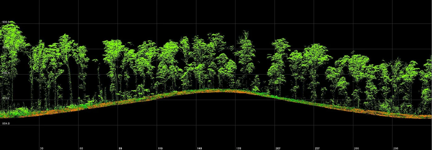
For the Espace-Dev research unit, two forest plots surveyed by LiDAR and photography: 16 hectares on the Approuague in July 2025, with take-offs from a dugout canoe, then 48 hectares in Sinnamary in October.
Background
The Espace-Dev joint research unit of the University of French Guiana works on the forest, including the detection of tree species from the air. On two study plots it wanted a 3 cm per pixel orthophoto and the vegetation structure measured by LiDAR. The first lay on the Approuague, thirty minutes by dugout canoe from Régina.
What we did
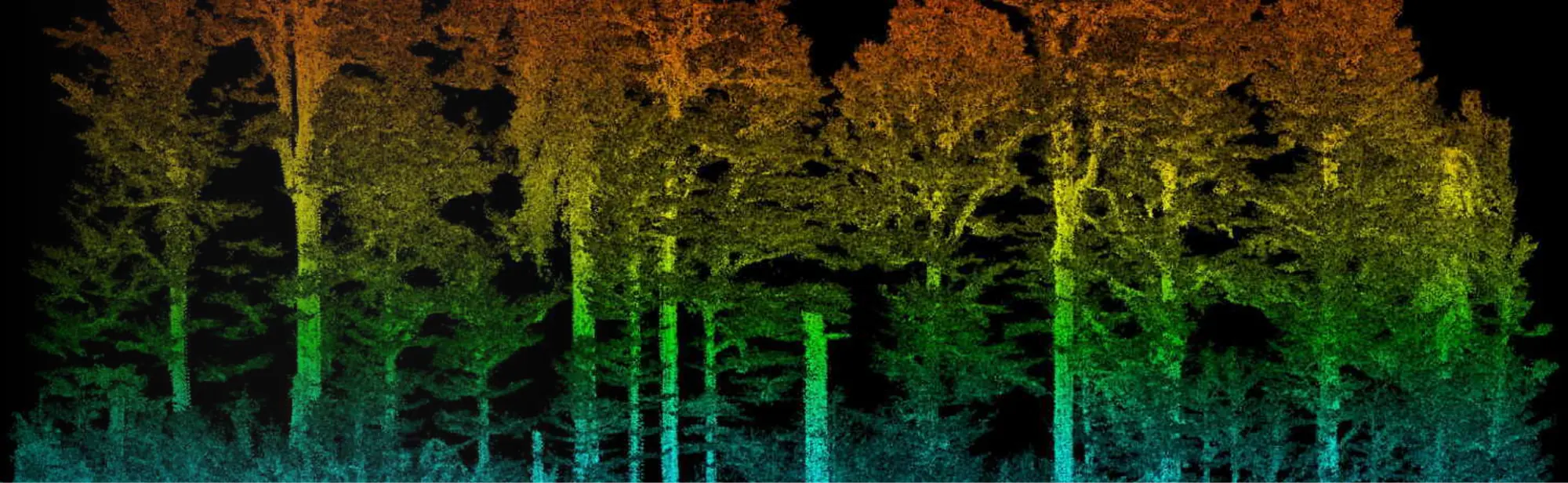
On 16 July 2025 the photo and LiDAR flights took off from the canoe and returned to it; the boat was reserved for the team, as the LiDAR drone is bulky. On 21 July we delivered the 3 cm orthophoto, the 10 cm surface model, the 50 cm terrain model, the canopy height model and the above-ground point cloud. With the wind moving the treetops, some crowns looked blurred on the orthophoto, so in Sinnamary, on 17 October, we flew crossed lines. There the terrain, surface and height models were delivered at 20 cm on 21 October, with the 3 cm orthophoto and the ground and above-ground clouds.
2 related missions in the log
LiDAR and orthophoto of 48 hectares of forest in Sinnamary
On 17 October 2025, for the Espace-Dev unit, after the Approuague survey in July: crossed flight lines, 3 cm orthophoto, 20 cm terrain, surface and height models and ground and above-ground clouds delivered on 21 October.
- 48 ha
- 20 cm models
LiDAR and orthophoto of 16 hectares of forest from a dugout canoe, on the Approuague
On 16 July 2025, for the Espace-Dev unit: take-offs from the canoe, 3 cm orthophoto, 10 cm surface model, 50 cm terrain model and canopy height model delivered on 21 July.
- 16 ha
- 3 cm per pixel
Gallery
Other projects

12,647 hectares of orthophotos at 3.5 cm for EPFA Guyane
From 4 December 2023 to 1 March 2024, eight sectors photographed at 3.5 cm per pixel, from Cayenne to Cacao: 343 flights, 184,464 photos, 50 ground control points and 26 check points. A second 6,545-hectare campaign began on 16 October 2026; its first sector was delivered on 19 October.
Corossony solar plant: 1,472 concrete footings surveyed at 2 mm per pixel before repowering
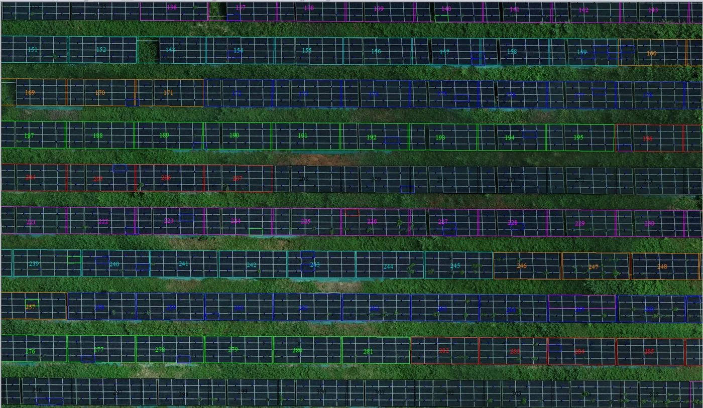
A 1:500 topographic plan of the plant in operation in September 2024, then the position and height of each of the 1,472 footings kept for the new structures, in December 2025.
Waste in western French Guiana: eight visits in Saint-Laurent, four Maroni villages at 1 cm
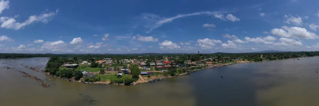
Since October 2024, photos taken from the same viewpoints at every visit to the Saint-Laurent-du-Maroni waste storage facility, with a 3 cm orthophoto and a plan since December 2024; in February 2026, the waste sites of four river villages surveyed at 1 cm.
Tell us about your project
Location, area or structure, expected deliverables and timing: with these details we can propose a method and a quote.
97310 Kourou
French Guiana
Route des Trois-Îlets
97229 Les Trois-Îlets
Martinique
20030-041 Rio de Janeiro – RJ
Brazil