
1. Home
  2. Blog
  3. Monitoring erosion with LiDAR

Monitoring erosion with LiDAR

Surveying and LiDAR1 min read

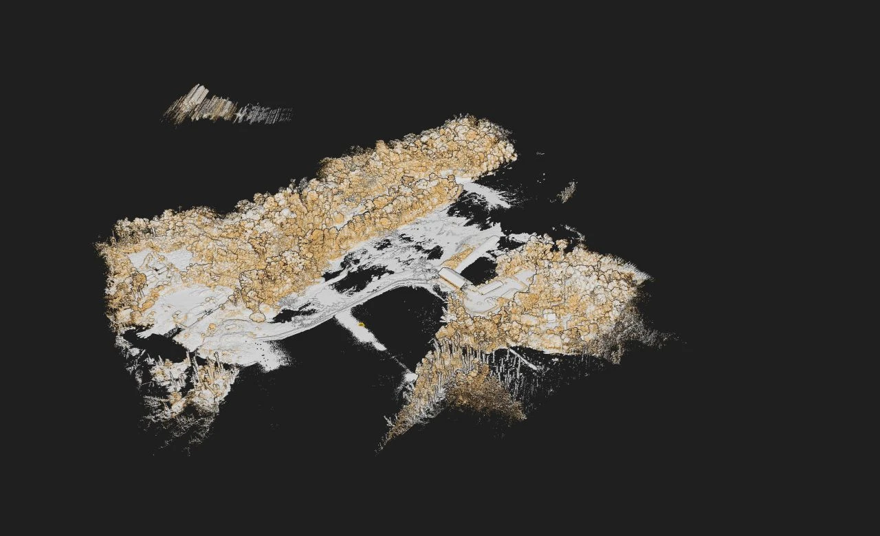
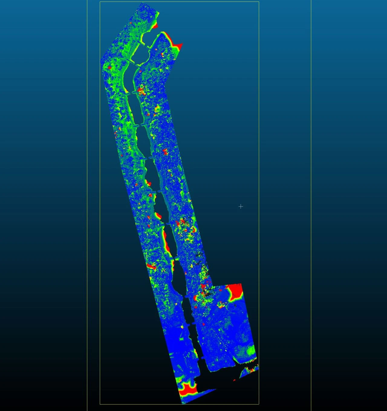
Thanks to our "yellowscan surveyor ultra" on board our Matrice 600, we carried out a LIDAR survey in order to generate a scatter plot.

We compared this scatter plot with another one generated previously, in order to monitor the erosion of the edges of the site.
Monitoring erosion with LiDAR

Tell us about your project

Location, area or structure, expected deliverables and timing: with these details we can propose a method and a quote.

French Guiana3 rue Gramme
97310 Kourou
French Guiana
MartiniqueDomaine de Château Gaillard
Route des Trois-Îlets
97229 Les Trois-Îlets
Martinique
BrazilRua Santa Luzia, Centro
20030-041 Rio de Janeiro – RJ
Brazil


