
Saut Maman Valentin: seven survey campaigns on the banks downstream of the plant
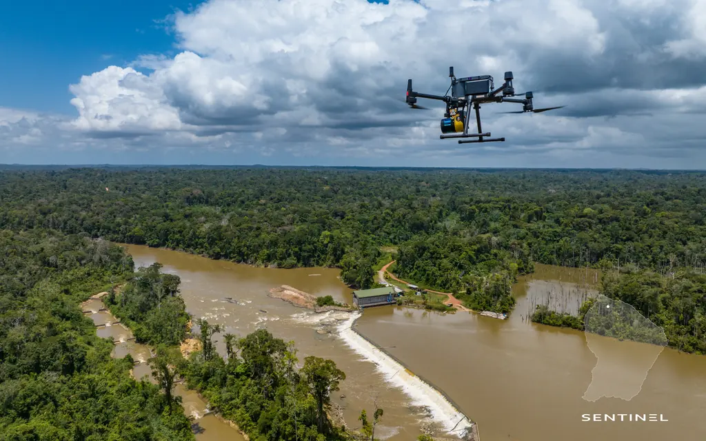
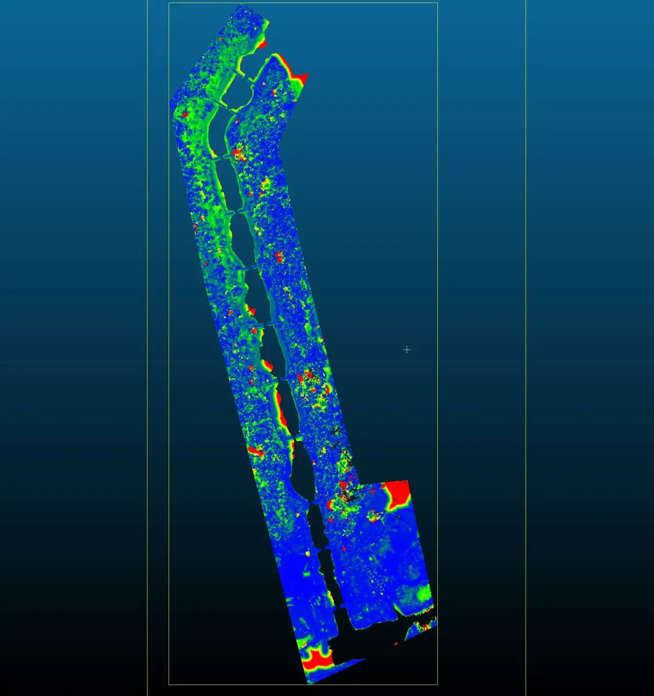
Since October 2020, drone LiDAR and photogrammetry downstream of the hydroelectric plant on the Mana: point clouds, 3 cm orthophotos and differential plans of the islet from one campaign to the next.
Background
Voltalia operates the Saut Maman Valentin hydroelectric plant on the Mana river. Downstream of the structure, the banks and an islet change with each flood and low-water season. The operator wanted to measure these changes from year to year, with a repeatable method.
What we did
First campaign in late October 2020, at low water: LiDAR point cloud, photogrammetric point cloud, digital elevation model and orthophotos. In September 2021 the differential plan measured the footprint of the islet: 1.43 ha in 2020, 1.40 ha in 2021. Further campaigns followed after the July 2022 flood, at low water in November 2022, then in April 2023, March 2024 and 2025: 50 cm contour lines, classified point clouds, terrain and surface models, 3 cm orthophoto. Since late 2022, three points marked on the ground and measured in the NGG datum by a land surveyor, visible from the drone, have been used to register each survey. In April 2023 the comparison showed gradual erosion of the islet; in March 2024 its emerged area had increased, a sign of a lower water level than during the previous surveys. In 2025 a virtual tour of the plant was published online.
2 related missions in the log
Photos then a virtual tour of the Saut Maman Valentin hydroelectric plant
Virtual tour published online in June 2025 and hosted for the client.
Annual photogrammetric survey of the reservoir and islet
Campaign of the monitoring started in October 2020: acquisition on 11 March 2024, point cloud, terrain and surface models, 50 cm contour lines, 3 cm orthophoto and a plan of the footprints from 2020 to 2024. The emerged area of the islet increased, a sign of a lower water level than during the previous surveys.
Gallery
Other projects

12,647 hectares of orthophotos at 3.5 cm for EPFA Guyane
From 4 December 2023 to 1 March 2024, eight sectors photographed at 3.5 cm per pixel, from Cayenne to Cacao: 343 flights, 184,464 photos, 50 ground control points and 26 check points. A second 6,545-hectare campaign began on 16 October 2026; its first sector was delivered on 19 October.
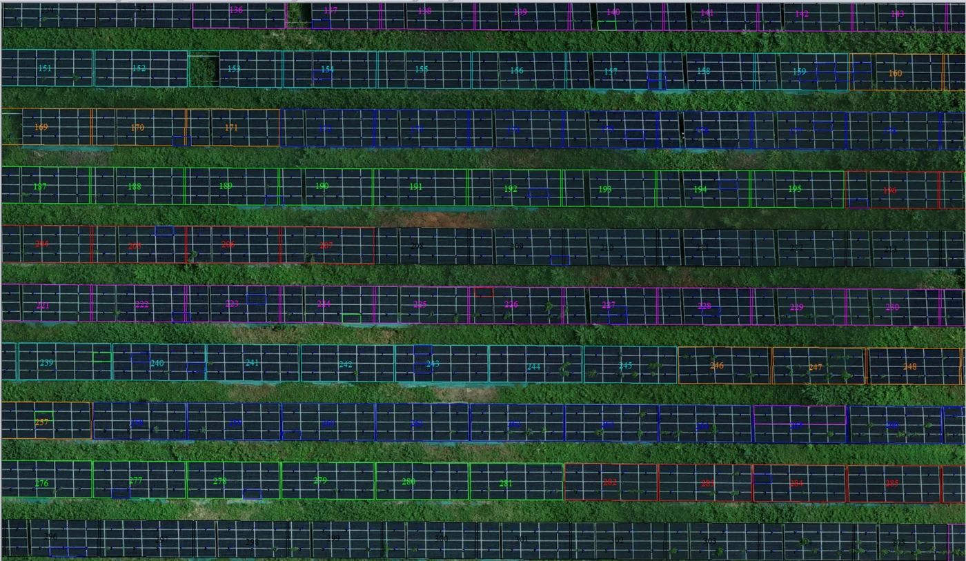
Corossony solar plant: 1,472 concrete footings surveyed at 2 mm per pixel before repowering
A 1:500 topographic plan of the plant in operation in September 2024, then the position and height of each of the 1,472 footings kept for the new structures, in December 2025.
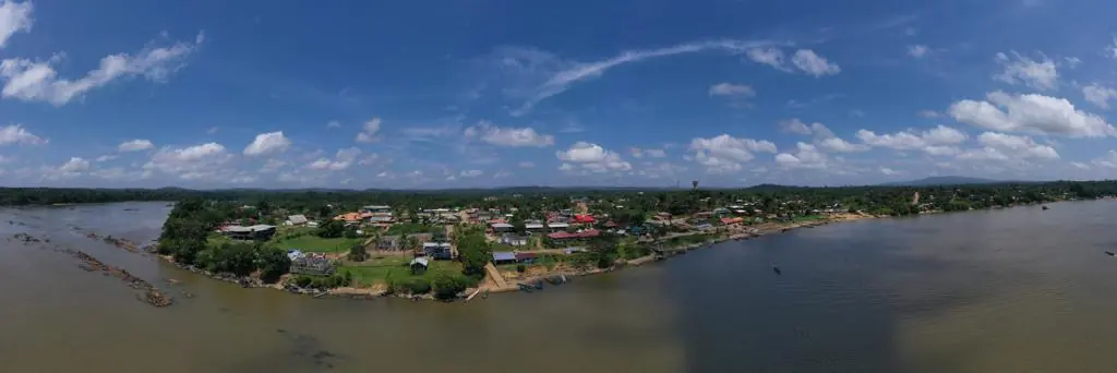
Waste in western French Guiana: eight visits in Saint-Laurent, four Maroni villages at 1 cm
Since October 2024, photos taken from the same viewpoints at every visit to the Saint-Laurent-du-Maroni waste storage facility, with a 3 cm orthophoto and a plan since December 2024; in February 2026, the waste sites of four river villages surveyed at 1 cm.
Tell us about your project
Location, area or structure, expected deliverables and timing: with these details we can propose a method and a quote.
97310 Kourou
French Guiana
Route des Trois-Îlets
97229 Les Trois-Îlets
Martinique
20030-041 Rio de Janeiro – RJ
Brazil