
Martinique coastline: three precision surveys, from 1.78 to 3.72 cm
At Pointe des Sables in Le Vauclin and in Saint-Pierre for DEAL Martinique, at the mouth of the Prêcheur river for BRGM during the lahar crisis: three orthophotos whose accuracy was measured on independent targets, delivered between one and five days after the flights.
Background
DEAL Martinique, the State’s regional directorate for the environment, planning and housing, monitors shoreline retreat, coastal development and natural areas; it needs images on which distances and areas can be measured with a known accuracy. It ordered two orthophotos from us at 5 cm resolution and 5 cm planimetric accuracy, delivered as JPEG2000 in the RGAF09 system: 27 hectares at Pointe des Sables, Le Vauclin, in October 2025, then 12.5 hectares of the Saint-Pierre seafront, from the Fort district to the sub-prefecture, in September 2026. In between, the lahars of 13 and 16 September 2025 had choked the mouth of the Prêcheur river with sand and boulders: in October, BRGM’s regional directorate asked us for an elevation survey of the area.
What we did
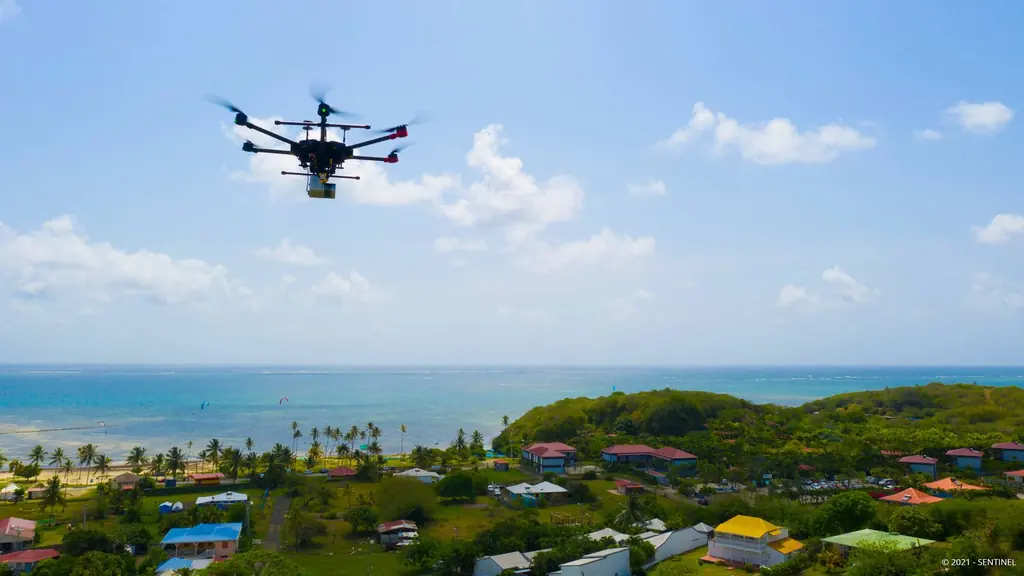
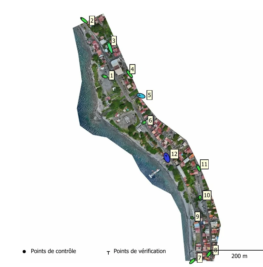
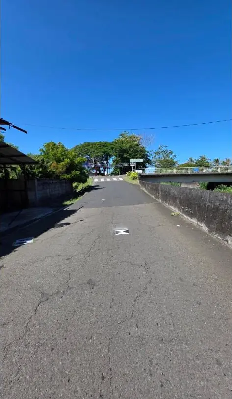
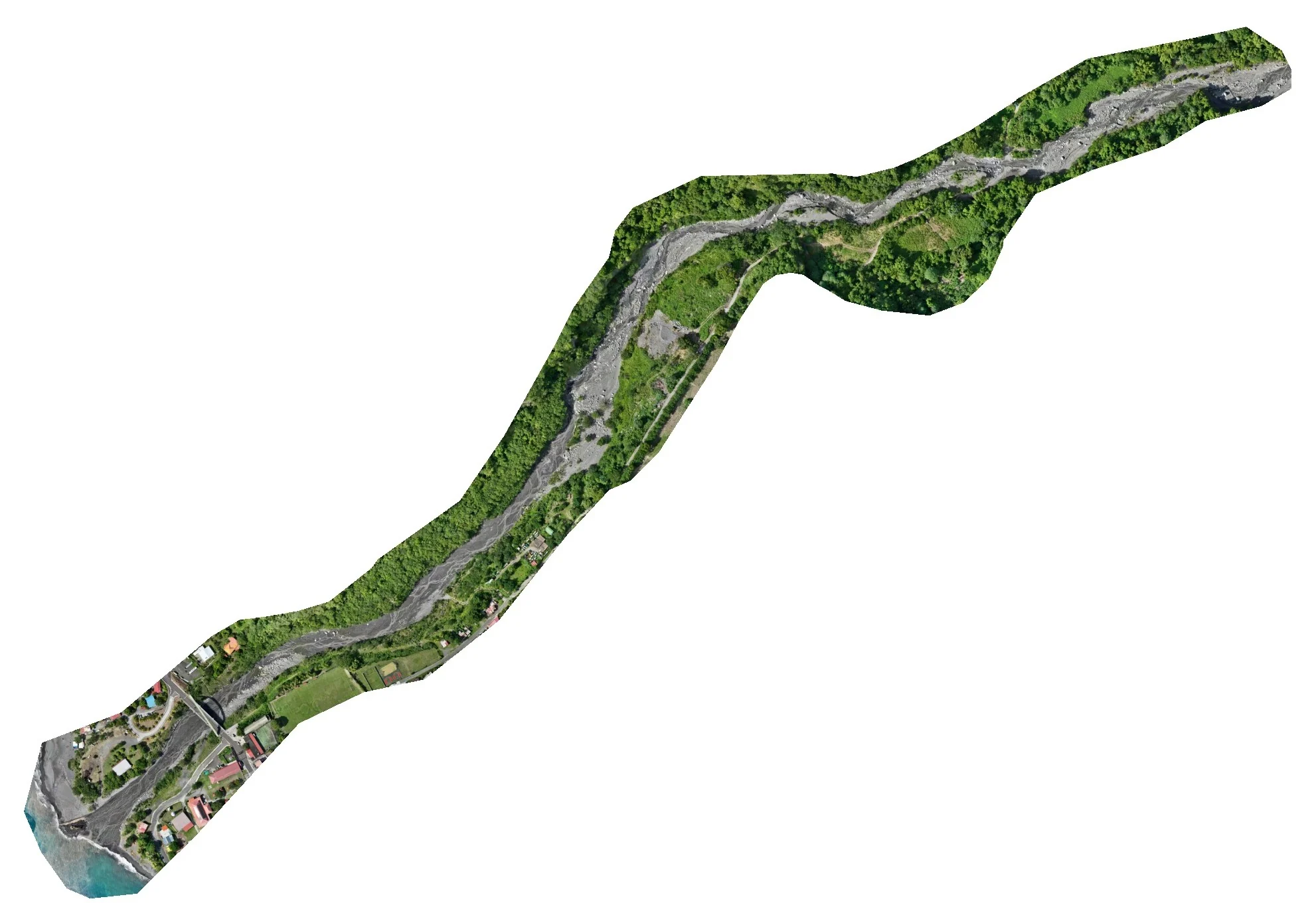
The protocol is the same on all three sites: control and check targets measured by GNSS and tied to a permanent station of the Teria network, terrain-following flights along two crossed grids, photogrammetric processing, then a report giving the error measured on each check target. At Pointe des Sables, on 15 October 2025: eleven targets, flight at 90 m, orthophoto at 2.9 cm per pixel and 3.55 cm planimetric accuracy, delivered the next day. In Le Prêcheur, on 22 and 23 October 2025, in a riverbed that was hard to reach and overgrown, eight targets were kept; the 2,778 images taken on the 23rd produced a 3.7 cm orthophoto, a surface model delivered on a 20 cm grid and 3.72 cm planimetric accuracy. In Saint-Pierre, on 21 September 2026: twelve targets, 1,305 images taken at 65 m, orthophoto delivered at 2 and 5 cm, 3.87 cm surface model and 1.78 cm planimetric accuracy, delivered the next day.
3 related missions in the log
Orthophoto of 12.5 hectares of the Saint-Pierre coastline
On 21 September 2026, from the Fort district to the sub-prefecture: twelve ground targets, 1,305 images taken at 65 m, orthophoto delivered at 2 and 5 cm the next day, 1.78 cm planimetric accuracy.
- 12.5 ha
- 1.78 cm accuracy
Orthophoto of 27 hectares of Pointe des Sables, Le Vauclin
On 15 October 2025: eleven targets (four for control, seven for checking), flight at 90 m with terrain following and a cross grid, 2.9 cm orthophoto and 3.55 cm planimetric accuracy, delivered the next day with the processing report; surface model added on 21 October.
- 27 ha
- 3.55 cm accuracy
Elevation survey of the Prêcheur river mouth during the lahar crisis
Targets laid and measured on 22 and 23 October 2025 in a hard-to-reach riverbed, flights on the 23rd: 2,778 images over 32 hectares, 3.7 cm orthophoto, surface model on a 20 cm grid, 3.72 cm planimetric accuracy on five check targets; delivered on 28 October.
- 32 ha
- 2,778 images
Gallery

Other projects
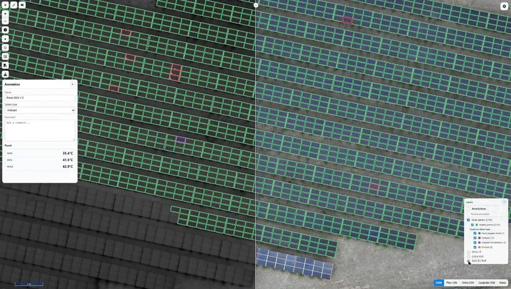
Eleven solar plants in 2026: 33,333 panels checked one by one
June to September 2026: eleven plants surveyed by thermography for Genergies in Martinique, Guadeloupe and French Guiana: 33,333 panels checked one by one.
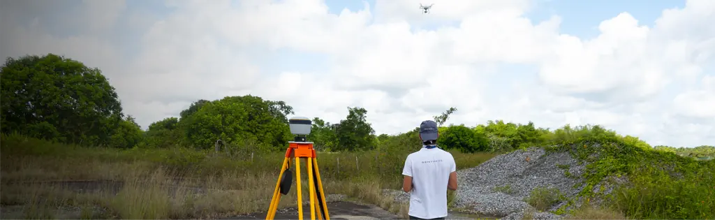
Jarry-Houëlbourg: 327 hectares of wetland in a 2.36 cm orthophoto
For the Conservatoire du littoral, the orthophoto and surface model of the Jarry-Houëlbourg wetland and its edge with the business district: 15,445 images taken over one weekend in February 2026, 3.64 cm root-mean-square error on six check points.
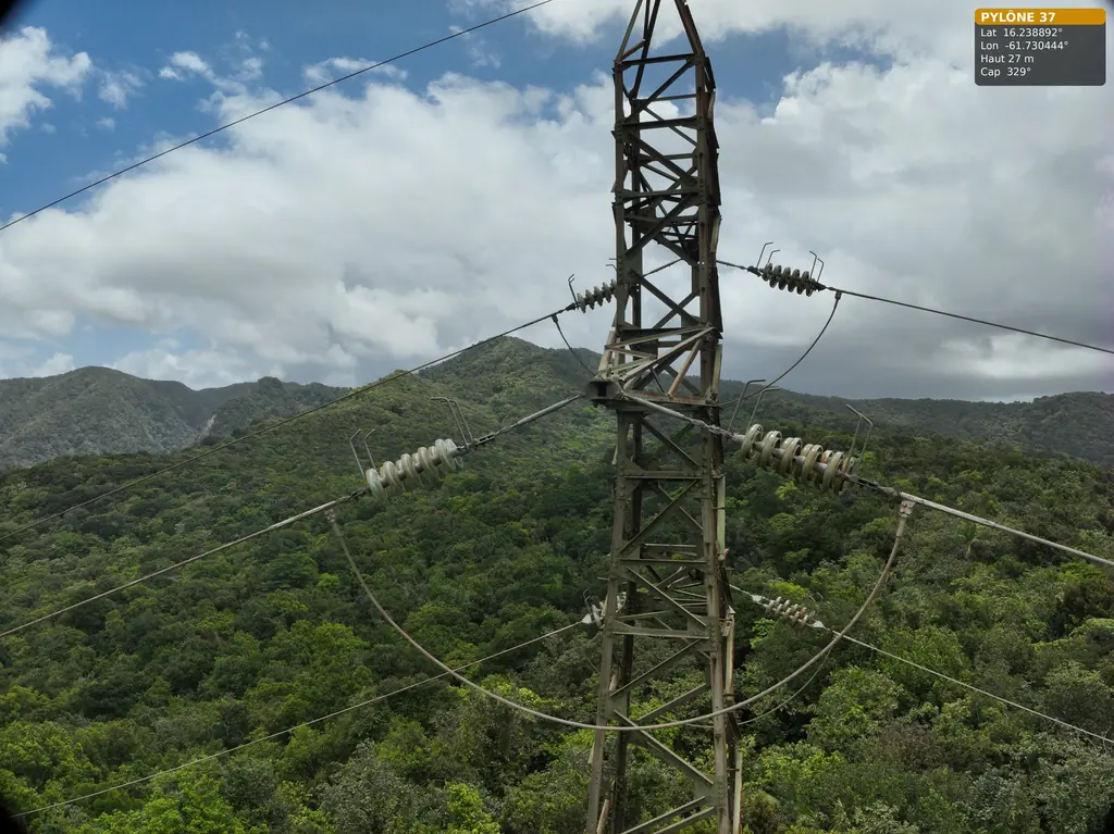
63 and 90 kV lines: three pylons in the Guadeloupe rainforest, five wooden poles in French Guiana
For Omexom, in June and July 2026: three 63 kV pylons in the Guadeloupe national park, then in French Guiana a fault check after an outage and five wooden supports of a 90 kV line.
Tell us about your project
Location, area or structure, expected deliverables and timing: with these details we can propose a method and a quote.
97310 Kourou
French Guiana
Route des Trois-Îlets
97229 Les Trois-Îlets
Martinique
20030-041 Rio de Janeiro – RJ
Brazil