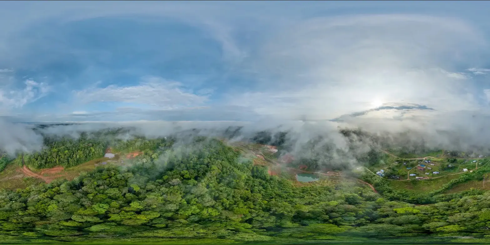
625 hectares in Saint-Élie, without a GNSS station within twenty kilometres
Saint-Élie is an inland municipality of French Guiana, in the forest south of Sinnamary. For its development projects and the monitoring of its land holdings, the municipality wanted an orthophoto map of the village and of some 600 hectares around it. The request reached us in July 2024; the area surveyed covers 625 hectares.
The registration problem
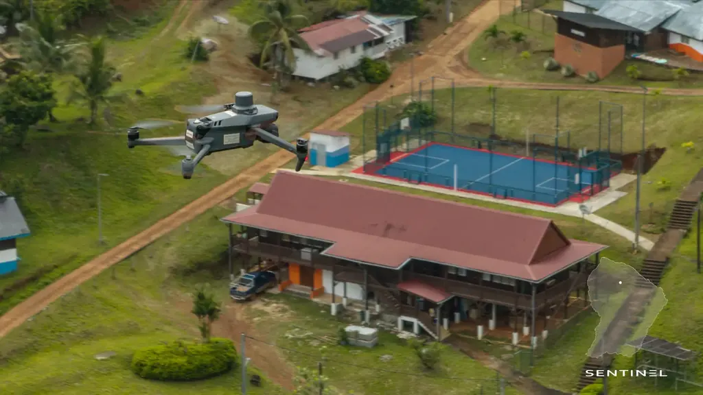
Most of the time our drones correct their position in real time from a reference station of a permanent GNSS network. In Saint-Élie no station of that network lies within twenty kilometres, too far for a reliable correction. For the acquisition of 28 August 2024 we therefore measured six points by precise point positioning (PPP): the location of our mobile base station, observed for 45 minutes, then five control points spread over the area, observed for 30 minutes each. Set up on the measured point, the base station corrected the drone in real time throughout the acquisitions.
The PPP coordinates, expressed in ITRF2014 at epoch 2024.66, were converted to WGS84 for the base station, and to RGFG95 UTM 22N and NGG77 for the control points. All outputs are delivered in these two systems, for planimetry and altimetry.
The flights were carried out 120 m above ground, on north-south lines at 14 m/s, with 80% forward and 70% side overlap; each photo covers 2.14 hectares on the ground. The 5,211 photos give an orthophoto at 3.5 cm per pixel. In processing, the position error is 1.77 cm on the cameras and 2.22 cm on the control points.
What was delivered
The mission report was handed over in early September 2024 with the deliverables: the full orthophoto in ECW and JP2, an orthophoto of the village alone in the same formats and an A0 plan. The six GNSS measurement reports, one per point, are appended to the report.
Equipment
The survey was carried out with a Mavic 3 Enterprise drone in RTK, a D-RTK2 mobile base station and a Trimble R2 GNSS receiver for the precise-positioning measurements, using the CenterPoint RTX correction service. Each photo covers 168.92 m by 126.93 m on the ground, taken at 1/640 s.