
Saint-Élie: 625 hectares without a GNSS station within twenty kilometres
3.5 cm orthophoto of 625 hectares around an inland village, registered on a base and five control points measured by precise point positioning, with no reference station in range.
Background
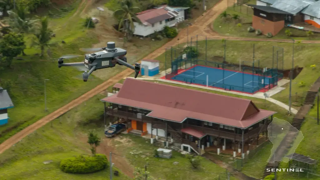
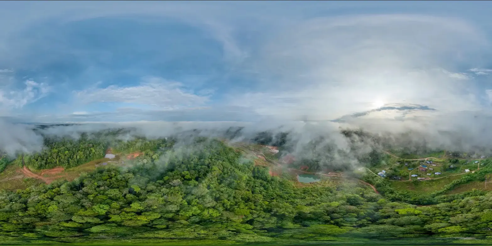
Saint-Élie is an inland municipality of French Guiana, in the forest south of Sinnamary. For its development projects and the monitoring of its land holdings, the municipality wanted an orthophoto map of the village and of some 600 hectares around it. The nearest station of the permanent GNSS network is more than twenty kilometres away, too far for reliable real-time correction.
What we did
For the acquisition of 28 August 2024, six points were measured by precise satellite positioning: the location of our base station, observed for 45 minutes, and five control points, observed for 30 minutes each. The base then corrected the drone throughout the flights: 120 m height, 80% forward and 70% side overlap, north-south lines at 14 m/s. The 5,211 photos give a 3.5 cm per pixel orthophoto; the position error is 1.77 cm on the cameras and 2.22 cm on the control points. The mission report includes the six GNSS measurement reports.
In the mission log
625-hectare orthophoto around the village of Saint-Élie
Acquisition on 28 August 2024: 5,211 photos and a 3.5 cm orthophoto, registered on a base station and five control points measured by precise point positioning (PPP), with no permanent GNSS network station within 20 km.
- 625 ha
- 3,5 cm per pixel
Gallery
Other projects

12,647 hectares of orthophotos at 3.5 cm for EPFA Guyane
From 4 December 2023 to 1 March 2024, eight sectors photographed at 3.5 cm per pixel, from Cayenne to Cacao: 343 flights, 184,464 photos, 50 ground control points and 26 check points. A second 6,545-hectare campaign began on 16 October 2026; its first sector was delivered on 19 October.
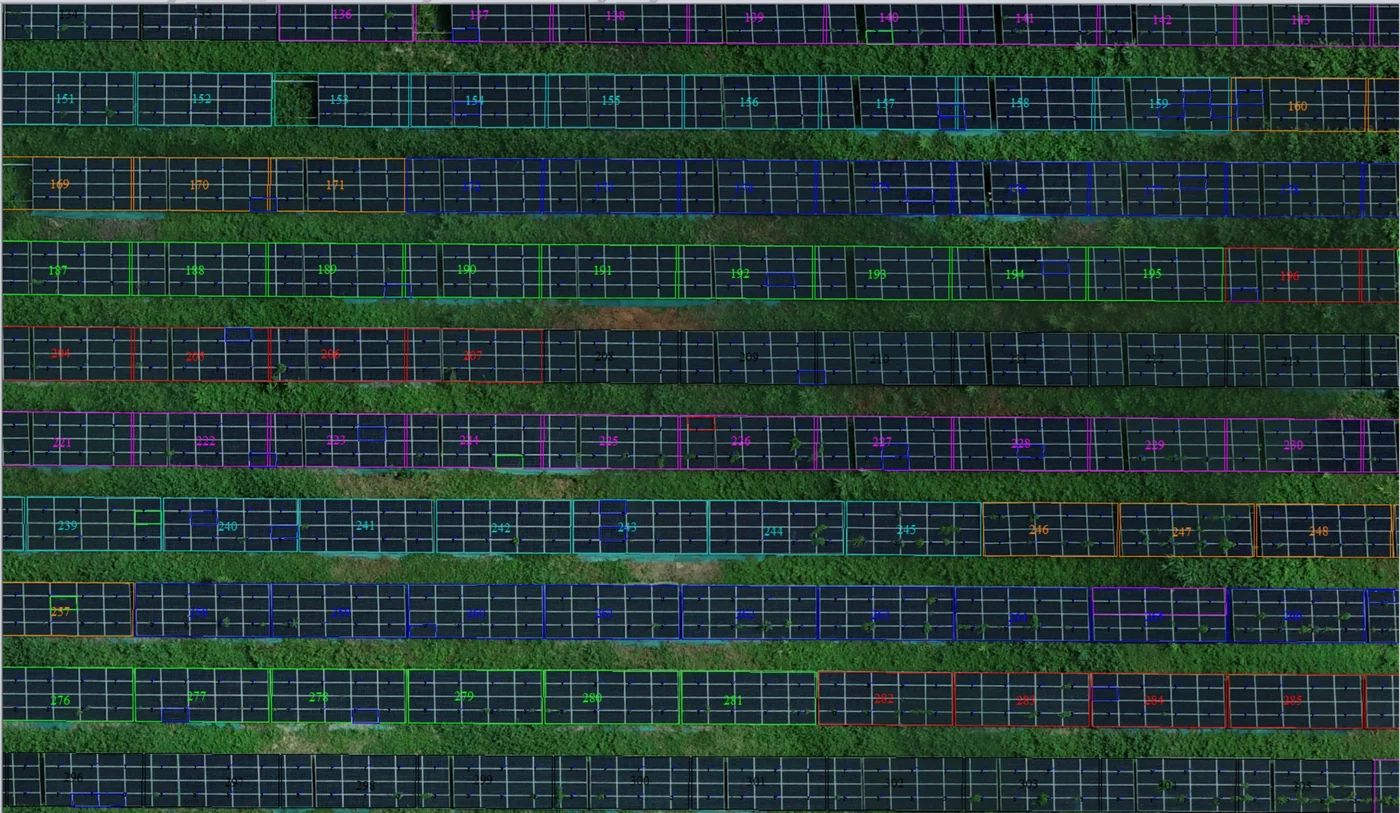
Corossony solar plant: 1,472 concrete footings surveyed at 2 mm per pixel before repowering
A 1:500 topographic plan of the plant in operation in September 2024, then the position and height of each of the 1,472 footings kept for the new structures, in December 2025.
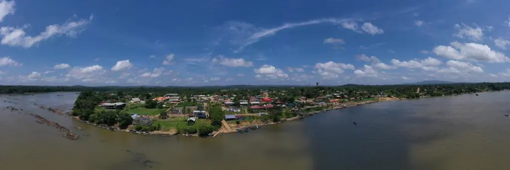
Waste in western French Guiana: eight visits in Saint-Laurent, four Maroni villages at 1 cm
Since October 2024, photos taken from the same viewpoints at every visit to the Saint-Laurent-du-Maroni waste storage facility, with a 3 cm orthophoto and a plan since December 2024; in February 2026, the waste sites of four river villages surveyed at 1 cm.
Tell us about your project
Location, area or structure, expected deliverables and timing: with these details we can propose a method and a quote.
97310 Kourou
French Guiana
Route des Trois-Îlets
97229 Les Trois-Îlets
Martinique
20030-041 Rio de Janeiro – RJ
Brazil