Saint-Jean-du-Maroni: 125 hectares of the relegation heritage surveyed by LiDAR
Upstream of Saint-Laurent-du-Maroni, Saint-Jean housed the camp of the relégués, the repeat offenders whom the 1885 law sent to French Guiana; the first arrived on 20 June 1887. The relegation heritage, camp and village, was presented to the regional heritage and architecture commission in October 2023 with a view to listing as a historic monument.
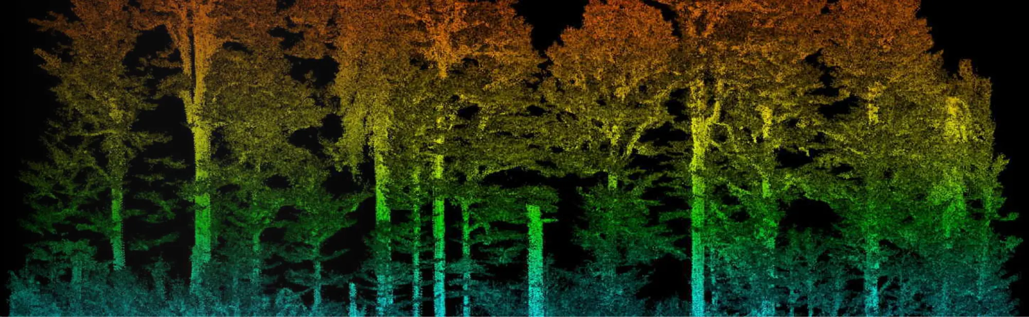
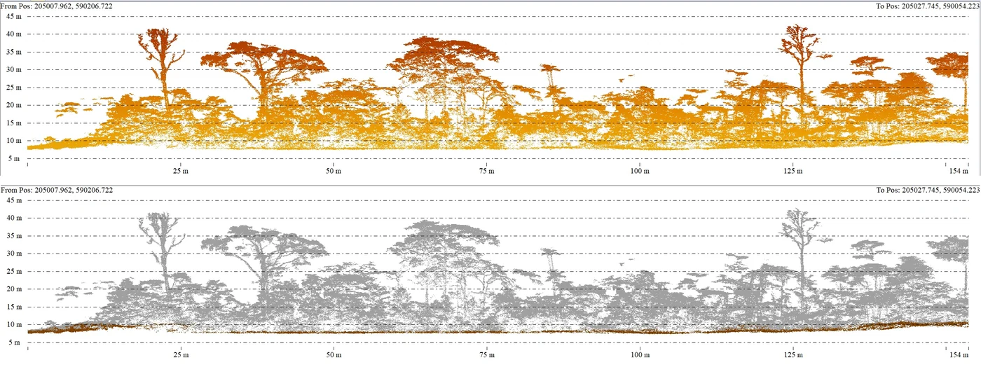
To finalise the protection order, the prefecture’s culture, youth and sport directorate wanted a map on which to identify the perimeter of the protected buildings. This called for a digital terrain model able to reveal every topographic anomaly that might correspond to human-made structures. That is what LiDAR allows: part of the laser pulses pass through the vegetation and reach the ground, which processing then separates from the rest of the point cloud.
The specifications
The order covered 125 contiguous hectares of a sparsely built-up part of the Saint-Jean district, in the municipality of Saint-Laurent-du-Maroni. It required at least 25 points per square metre on the ground, an accuracy of 5 cm horizontally and 10 cm vertically, 25 cm terrain and surface models and an orthophoto of 10 cm per pixel or finer, all within two months at most. Under wooded areas, ground point density depends on what the vegetation lets through.
Three days on site, one of them in the rain
Acquisition took place from 23 to 25 October 2024. On the first day, rain forced the drone to land twice and the last flight was completed in a downpour. The noise it left in the cloud was limited to the last lines, at height and away from dense vegetation: it was filtered out with no effect on the terrain model.
Deliveries ran until 7 November: raw then classified point cloud split into sixteen tiles, 25 cm terrain and surface models, an A0 greyscale extract of the surface model, the 3 cm per pixel orthophoto in three formats and plans by sub-zone. The files are in the RGFG95 / UTM 22N system with NGG77 heights.
On the greyscale extract, each shade corresponds to a height of the surface model: buildings and masses of vegetation can be read across the whole site, alongside the terrain model in which only the ground relief remains.
Shared data
The specifications allow the culture, youth and sport directorate to use and share the data freely for non-commercial purposes, crediting the contractor.