
Saint-Jean-du-Maroni: 125 hectares of the relegation heritage by LiDAR
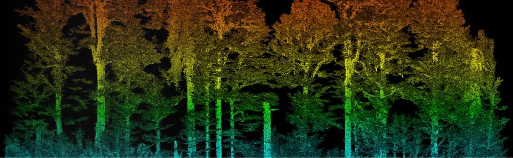
For the regional historic monuments service, a 25 cm terrain model beneath the vegetation of the former relegation camp, surveyed from 23 to 25 October 2024 to prepare the protection order.
Background
From 1887 Saint-Jean housed the relegation camp, for repeat offenders sent to French Guiana under the 1885 law. Presented to the regional heritage and architecture commission in October 2023 with a view to listing as a historic monument, the site had to be mapped to set the perimeter of the protected buildings. The culture, youth and sport directorate wanted a terrain model revealing every relief anomaly that might correspond to human-made structures, over 125 contiguous hectares.
What we did
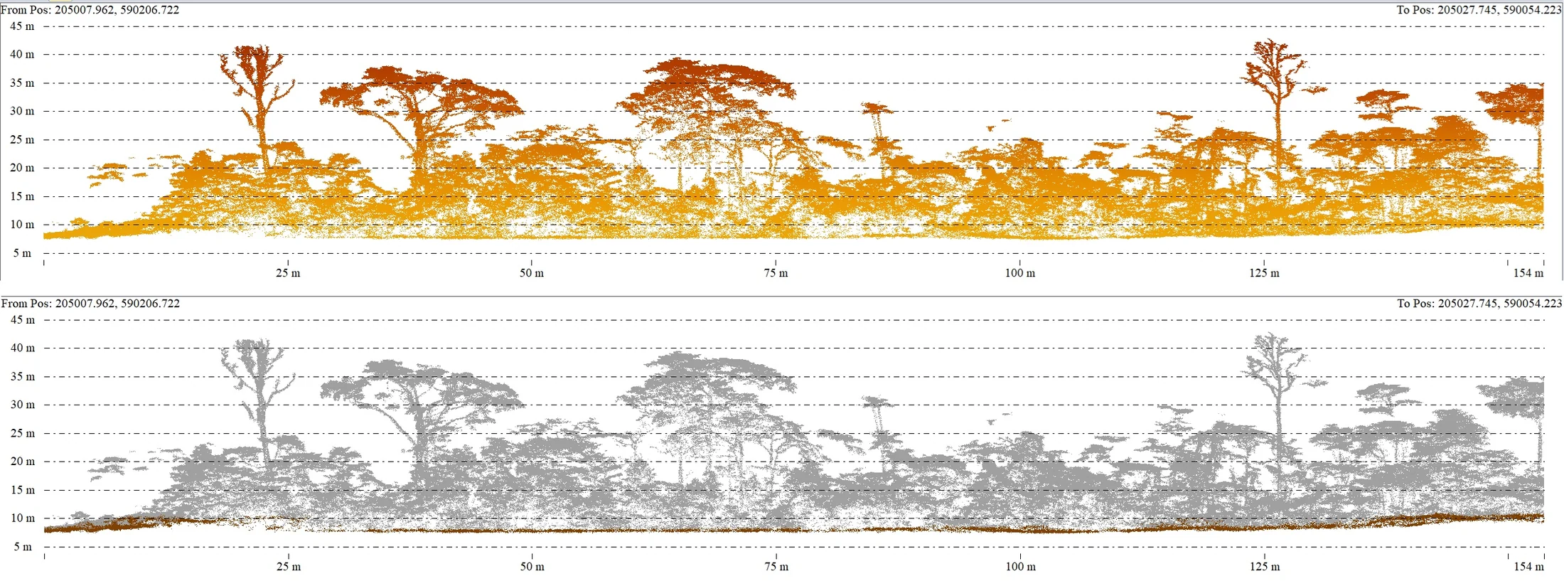
The specifications required at least 25 points per square metre on the ground, 5 cm horizontal and 10 cm vertical accuracy, and an orthophoto of 10 cm per pixel or finer. Acquisition took place from 23 to 25 October 2024. On the first day, rain forced the drone to land twice and the last flight was completed in a downpour: the noise left in the cloud, located at height and away from dense vegetation, was filtered out with no effect on the terrain model. Deliveries ran until 7 November: raw then classified cloud in sixteen tiles, 25 cm terrain and surface models, an A0 greyscale extract of the surface model, a 3 cm orthophoto in three formats and plans by sub-zone.
In the mission log
LiDAR survey of 125 hectares of the relegation heritage of Saint-Jean-du-Maroni
For the regional historic monuments service, from 23 to 25 October 2024: 25 ground points per m² required, 25 cm terrain and surface models, 3 cm orthophoto and a classified cloud in sixteen tiles, delivered by 7 November to delimit the buildings of the former camp to be protected.
- 125 ha
- 25 cm terrain model
Gallery
Other projects

12,647 hectares of orthophotos at 3.5 cm for EPFA Guyane
From 4 December 2023 to 1 March 2024, eight sectors photographed at 3.5 cm per pixel, from Cayenne to Cacao: 343 flights, 184,464 photos, 50 ground control points and 26 check points. A second 6,545-hectare campaign began on 16 October 2026; its first sector was delivered on 19 October.
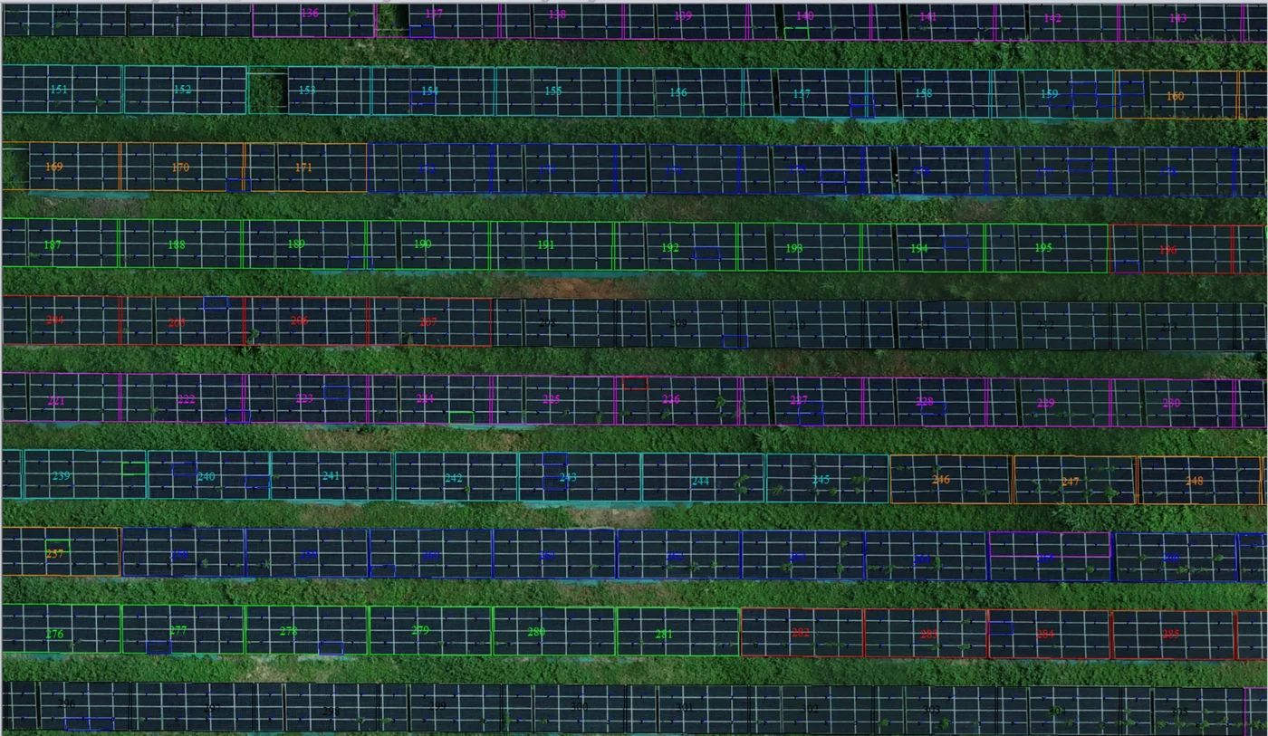
Corossony solar plant: 1,472 concrete footings surveyed at 2 mm per pixel before repowering
A 1:500 topographic plan of the plant in operation in September 2024, then the position and height of each of the 1,472 footings kept for the new structures, in December 2025.
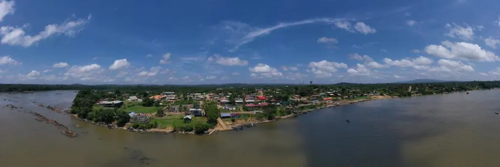
Waste in western French Guiana: eight visits in Saint-Laurent, four Maroni villages at 1 cm
Since October 2024, photos taken from the same viewpoints at every visit to the Saint-Laurent-du-Maroni waste storage facility, with a 3 cm orthophoto and a plan since December 2024; in February 2026, the waste sites of four river villages surveyed at 1 cm.
Tell us about your project
Location, area or structure, expected deliverables and timing: with these details we can propose a method and a quote.
97310 Kourou
French Guiana
Route des Trois-Îlets
97229 Les Trois-Îlets
Martinique
20030-041 Rio de Janeiro – RJ
Brazil