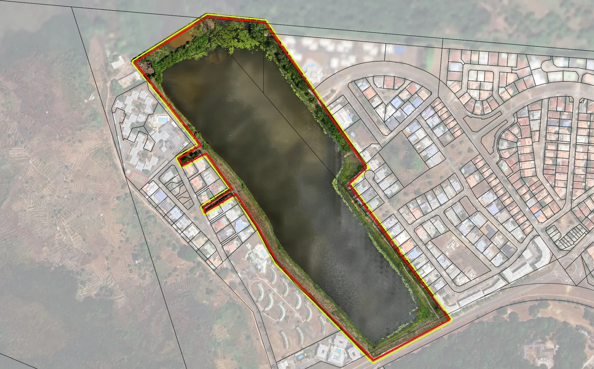
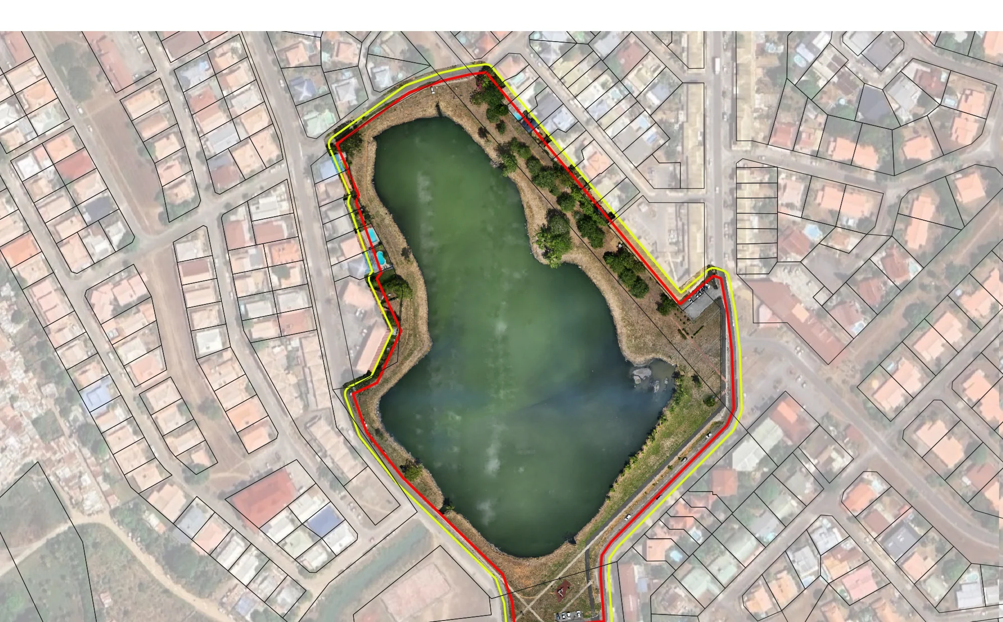
The three lakes of Kourou mapped at 13 millimetres per pixel
The three lakes of Kourou, Bois Chaudat, Bois Diable and Marie-Claire, sit within the town, lined by private plots and roads. On 11 October 2024, the aquatic environments and flood prevention (GEMAPI) project officer of the Savanes community of municipalities asked us for an orthophoto of each of the three lakes, banks included, up to the private plots and neighbouring roads, with high planimetric accuracy. Aquatic environment management and flood prevention are among the authority’s responsibilities.
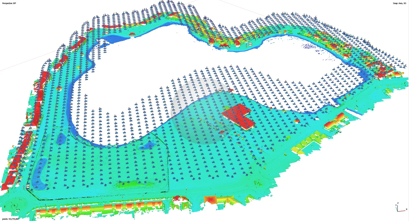
One flight plan per lake
Over open water, photogrammetry finds no stable points from one photo to the next. Each lake got a flight plan suited to its shape: a corridor along Bois Diable lake, a full grid over Marie-Claire lake and, around Bois Chaudat lake, a crossed grid of vertical views that leaves the water body aside. The control points had been placed on the map beforehand, then measured on the ground. The acquisitions took place in late November 2024.
Delivered on 28 November
On 28 November 2024 the authority received three orthophotos at 13 mm per pixel, three more at 39 mm, three digital surface models and the control-point position file, in shapefile format. The orthophotos cover each lake and its banks up to the plots and roads that line it.
Erosion monitoring since 2026
In 2026 the authority engaged us to monitor bank erosion on Bois Chaudat lake and on the Canal de l’Ouest, which links the lake to the Kourou river: eight campaigns from September 2026 to February 2028, flown at low tide, each with an orthophoto and 34 photos taken from fixed viewpoints. The first campaign, on 15 September 2026, produced a 12 mm orthophoto, delivered two days later and available on Sentinel Cloud.