
- Home
- Projects
- Kourou lakes: three water bodies at 13 mm, then erosion monitoring of the Canal de l’Ouest
Kourou lakes: three water bodies at 13 mm, then erosion monitoring of the Canal de l’Ouest
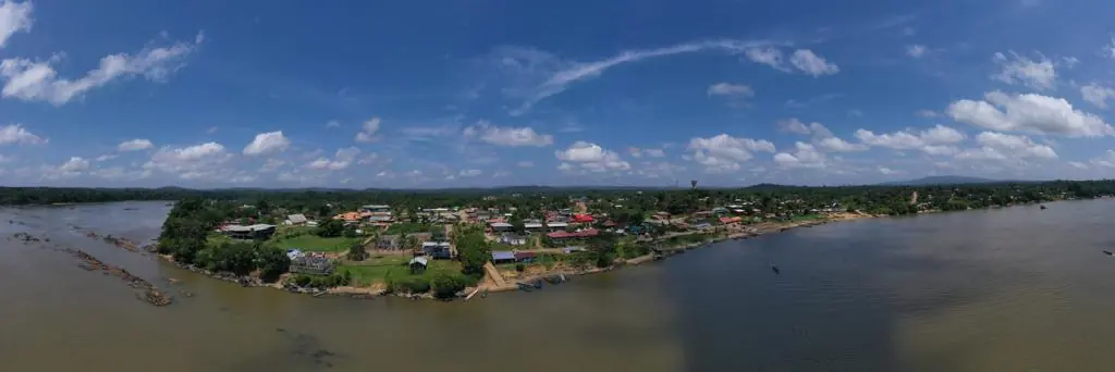
13 mm orthophotos of the Bois Chaudat, Bois Diable and Marie-Claire lakes in November 2024; since September 2026, erosion-monitoring campaigns on Bois Chaudat lake and the Canal de l’Ouest, flown at low tide.
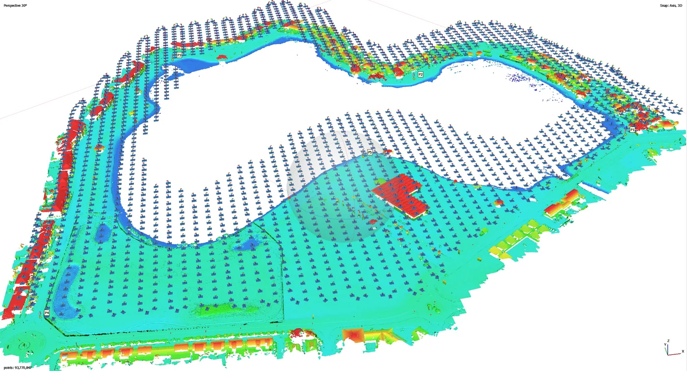
Background
The three lakes of Kourou are wetlands set within the town, lined by private plots and roads. As part of its responsibility for aquatic environments and flood prevention, the Savanes community of municipalities wanted accurate orthophotos of the lakes and their banks, up to the neighbouring plots and roads. In 2026 it began monitoring bank erosion on Bois Chaudat lake and on the Canal de l’Ouest, which links the lake to the Kourou river: two flood-management structures.
What we did
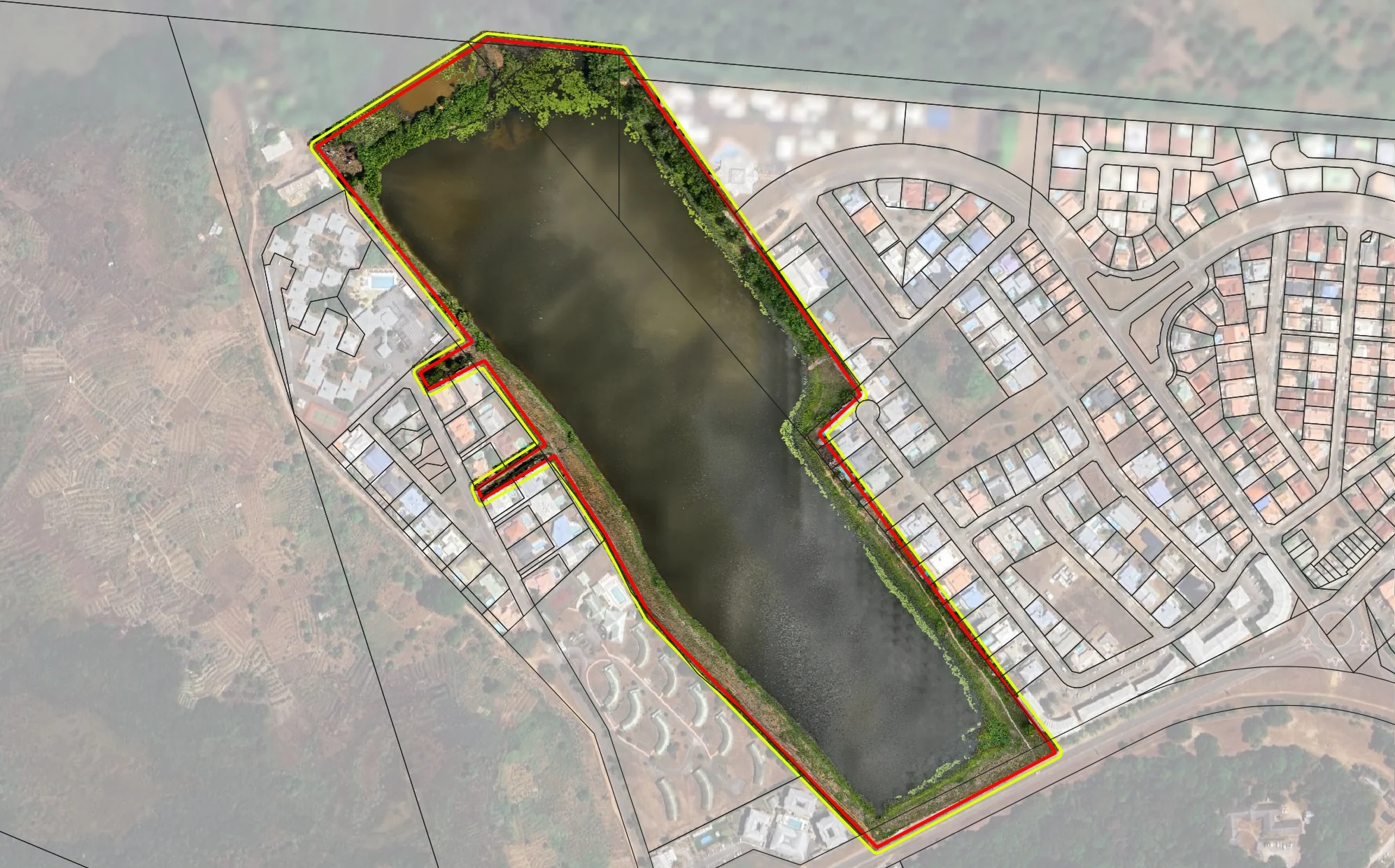
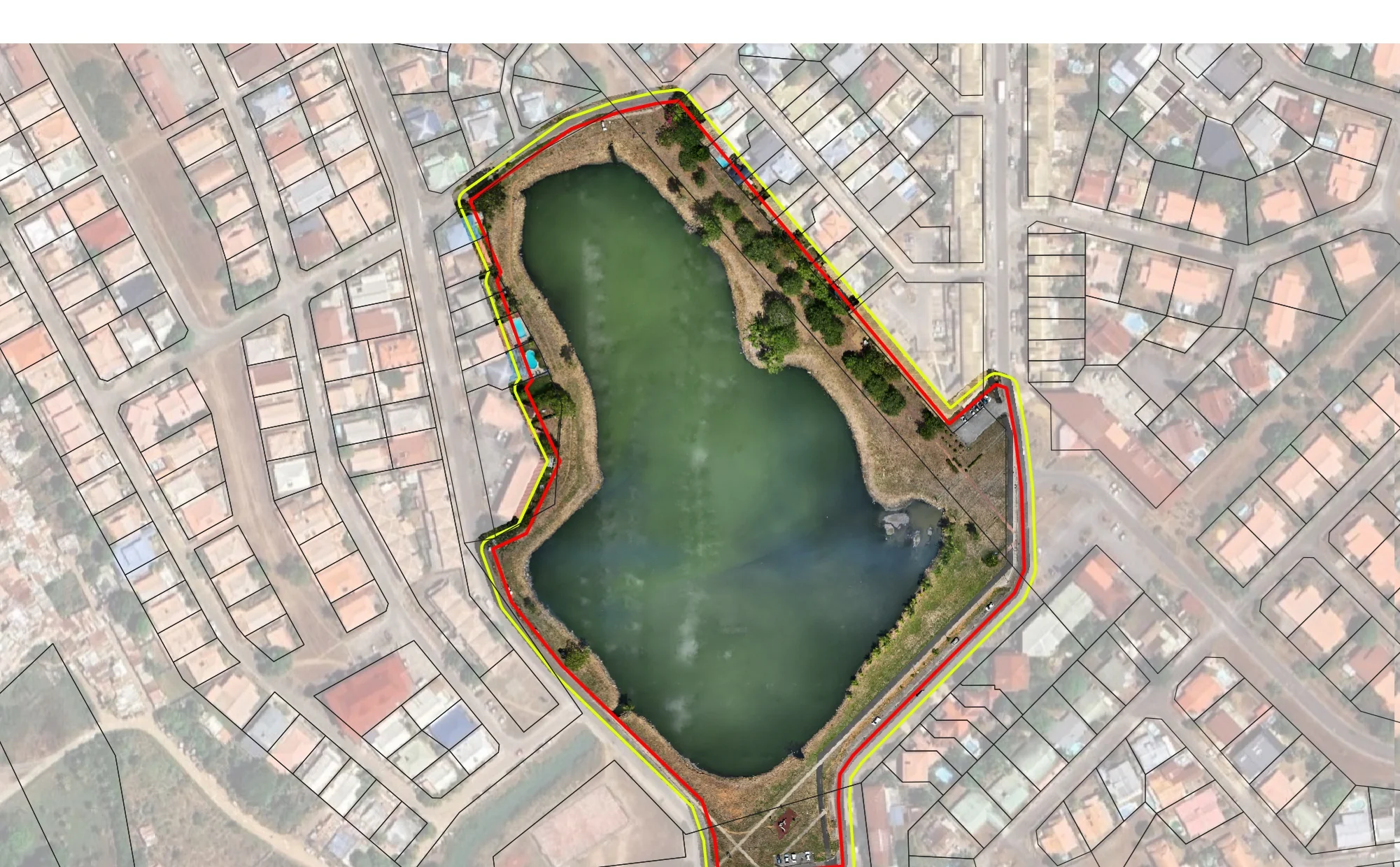
In late November 2024, each lake got a flight plan suited to its shape: a corridor along Bois Diable lake, a full grid over Marie-Claire lake, a crossed grid around Bois Chaudat lake without flying over the water. Control points, placed on the map beforehand, were measured on the ground. Delivered on 28 November: three orthophotos at 13 mm, three at 39 mm, three surface models and the control-point file. On 15 September 2026, at low tide, the first monitoring campaign: a 12 mm orthophoto of Bois Chaudat lake, a plan of the lake and canal, the mud islets in the northern part of the lake mapped at 22 mm to measure their area, and 34 photos taken from fixed points agreed with the authority, to be repeated identically at every campaign. Delivered two days later, the orthophoto is available on Sentinel Cloud; eight campaigns are scheduled up to February 2028.
2 related missions in the log
Erosion monitoring of the Canal de l’Ouest and Bois Chaudat lake
First of eight campaigns scheduled up to February 2028: flight on 15 September 2026 at low tide, 12 mm orthophoto, mud islets in the northern part of the lake mapped at 22 mm and 34 photos taken from fixed viewpoints; delivered on 17 September, with three Sentinel Cloud accounts.
- 12 mm/px
- 34 reference photos
Orthophotos of the three lakes of Kourou
Request of 11 October 2024; one flight plan per lake, a corridor on Bois Diable, a full grid on Marie-Claire, a crossed grid around Bois Chaudat without flying over the water, and control points measured on the ground. Delivered on 28 November: three orthophotos at 13 mm, three at 39 mm and three surface models.
- 13 mm/px
- 3 lakes
Gallery
Other projects

12,647 hectares of orthophotos at 3.5 cm for EPFA Guyane
From 4 December 2023 to 1 March 2024, eight sectors photographed at 3.5 cm per pixel, from Cayenne to Cacao: 343 flights, 184,464 photos, 50 ground control points and 26 check points. A second 6,545-hectare campaign began on 16 October 2026; its first sector was delivered on 19 October.
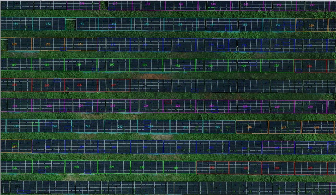
Corossony solar plant: 1,472 concrete footings surveyed at 2 mm per pixel before repowering
A 1:500 topographic plan of the plant in operation in September 2024, then the position and height of each of the 1,472 footings kept for the new structures, in December 2025.
Waste in western French Guiana: eight visits in Saint-Laurent, four Maroni villages at 1 cm
Since October 2024, photos taken from the same viewpoints at every visit to the Saint-Laurent-du-Maroni waste storage facility, with a 3 cm orthophoto and a plan since December 2024; in February 2026, the waste sites of four river villages surveyed at 1 cm.
Tell us about your project
Location, area or structure, expected deliverables and timing: with these details we can propose a method and a quote.
97310 Kourou
French Guiana
Route des Trois-Îlets
97229 Les Trois-Îlets
Martinique
20030-041 Rio de Janeiro – RJ
Brazil