Inventorying the trees of a fully wooded plot, by LiDAR and photogrammetry, in Fort-de-France
Before developing a plot, a developer in Fort-de-France needed to know the trees on it: how many, where, how tall. The site, 1.8 hectares between the Z’Abricot pond and Pointe des Sables, was entirely vegetated and impassable on foot over much of its surface.
Two sensors, one inventory
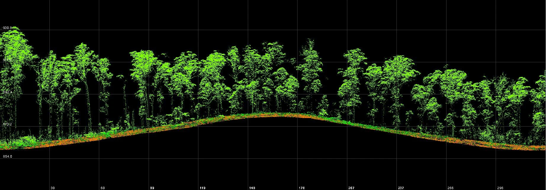
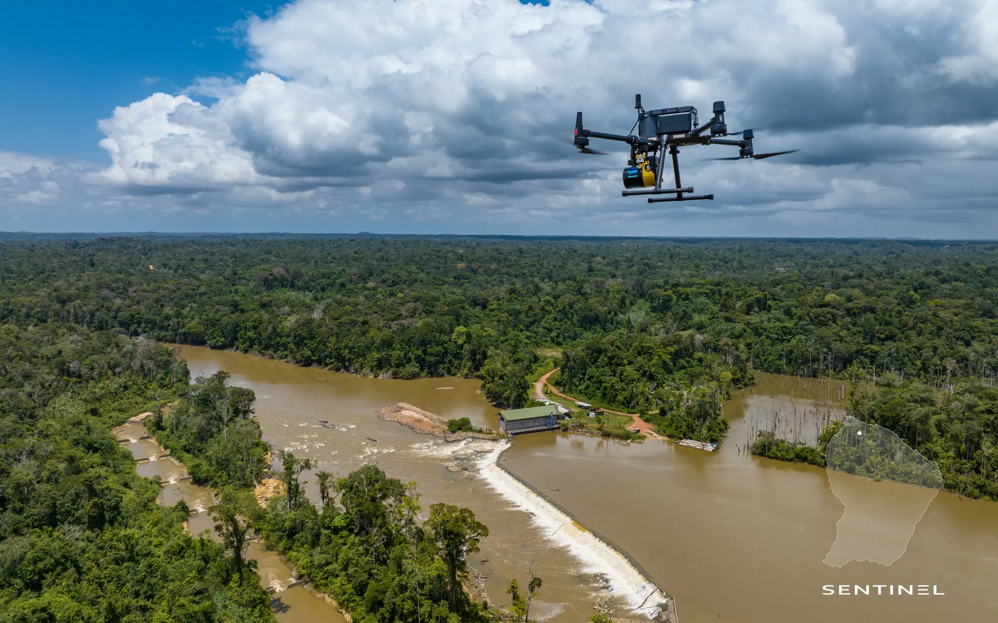
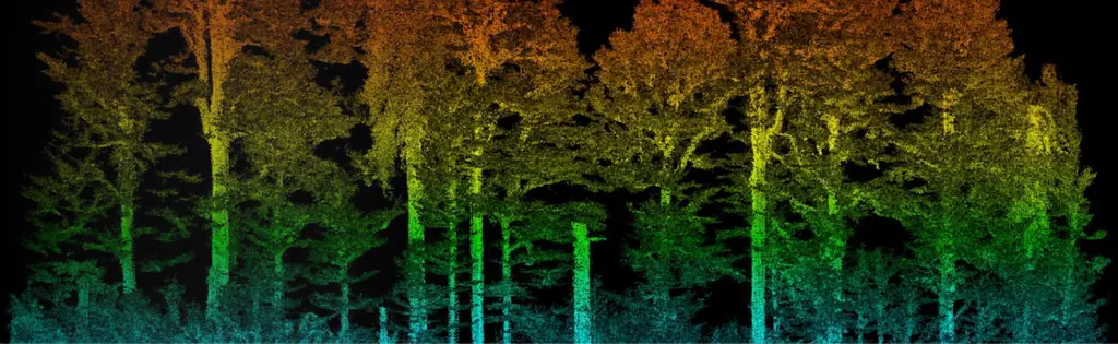
On 14 November 2025 we flew two crossed LiDAR passes, producing 669 million points, and a photographic flight at 60 m for an orthophoto at 1.5 cm, registered on five GNSS-measured points. The cloud was classified into ground and vegetation, then segmented tree by tree: each individual taller than 2.5 m received a position, a height, a crown diameter (from 1.5 to 25 m) and a canopy volume.
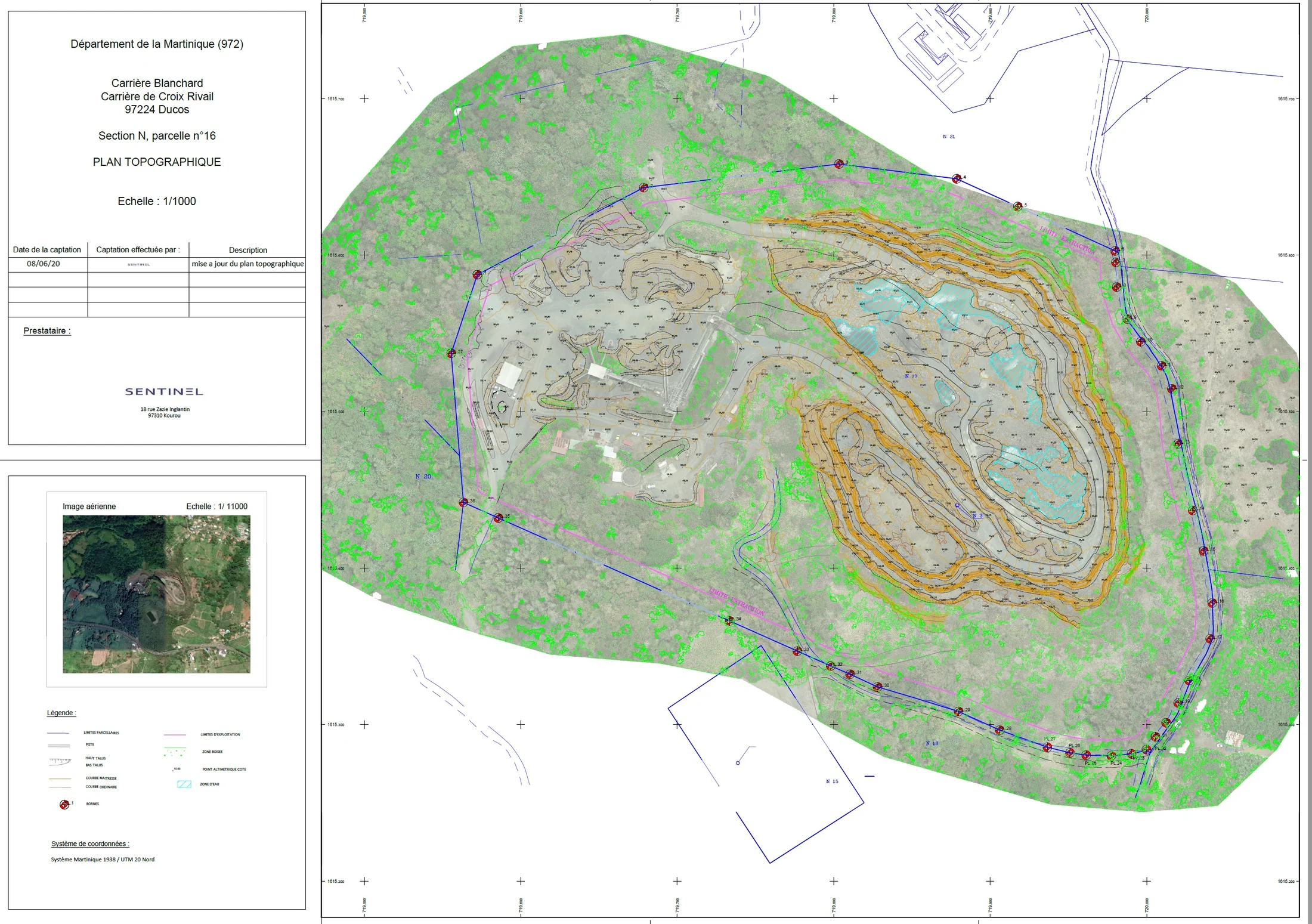
The result was exported as DWG for the engineering firm, with the orthophoto and the terrain model. Flight permits, close to the airport, had been obtained from air traffic control and the prefecture.
Beyond the inventory
The same chain is used to estimate biomass volumes, monitor a mangrove or check clearances between vegetation and a power line. LiDAR gives the structure; photography, the species and health that can be recognised from the air.