
- Home
- Projects
- 1,262 medium-voltage line supports photographed in French Guiana: 128 km in 19 flying days
1,262 medium-voltage line supports photographed in French Guiana: 128 km in 19 flying days
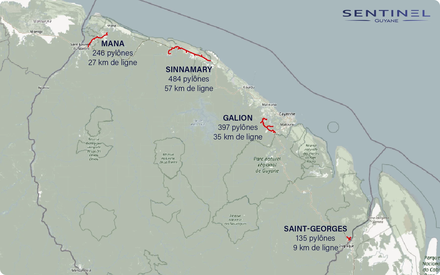
Four medium-voltage feeders, from Mana to Saint-Georges: every support photographed using the operator’s method, 7,854 geotagged photos and a KML file of the lines.
Background
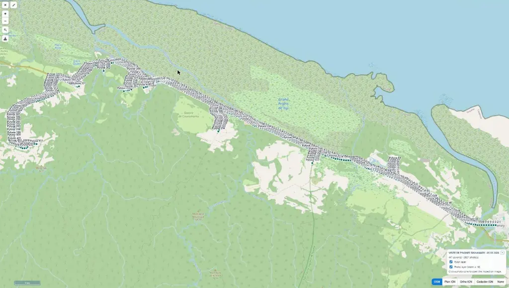
In 2024, the electricity network operator entrusted us with the drone inspection of four medium-voltage feeders: Galion, in Montsinéry-Tonnegrande, Mana, Sinnamary – Iracoubo and the whole municipality of Saint-Georges. It wanted very high-resolution, geotagged and time-stamped photos of every support, accurate enough for a technician to make the diagnosis at the office and prepare targeted renewal works without going back into the field.
What we did
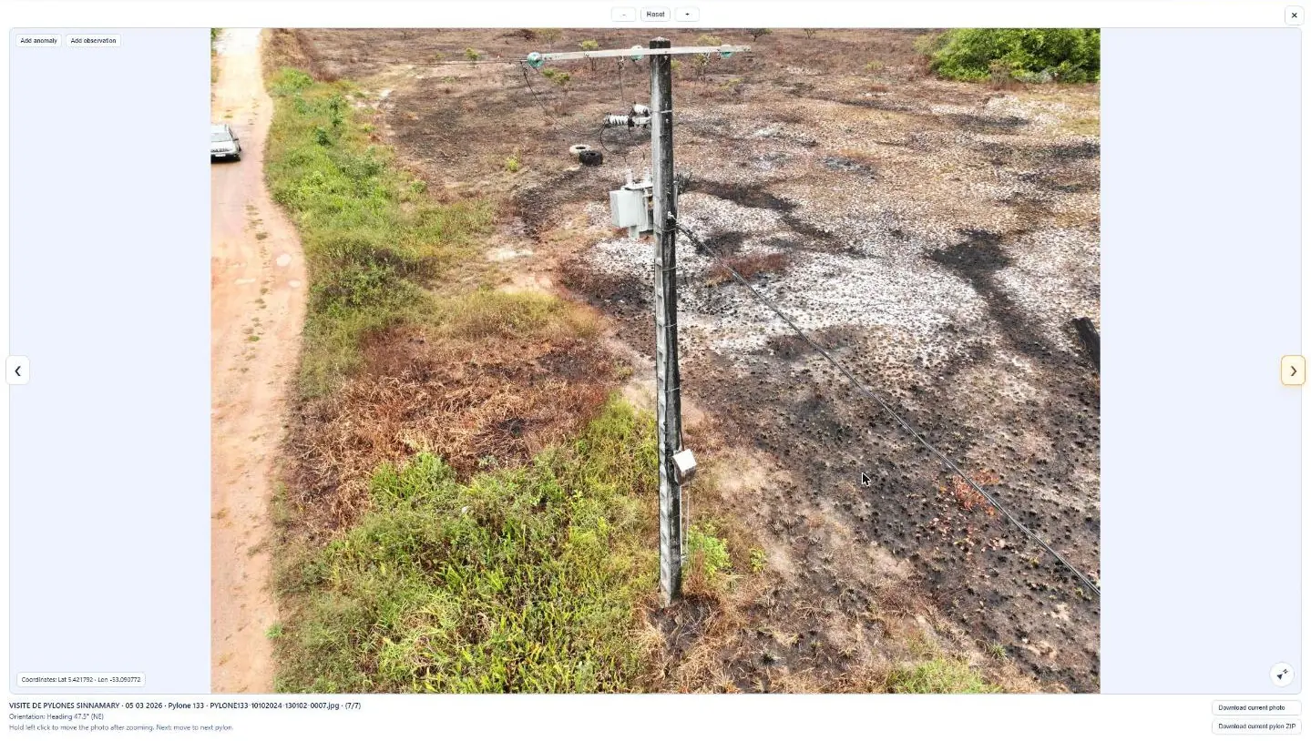
Flights began on 17 September 2024. For each support, the method called for six photos, give or take one: two overall views, as the drone approached and as it left, to assess the support from base to top; four close-ups of the cross-arm assembly, one of them along its axis to reveal any deformation; one view taken from under the cross-arm, camera pointing upwards. Sleeves and visible conductor defects between two supports were photographed separately. Photos had to reach 20 pixels per centimetre on the cross-arm, be geotagged in x, y and z and time-stamped, and the drone had to stay more than 3 m from each conductor. The 1,262 supports took 19 flying days and 67 h 50 in the air, or 18.6 supports per flight hour, with a maximum of 99 in one day on the Mana lot. A point placed on each support produced an overall KML file of the lines, and a tracking table recorded each day the supports covered, the photos, the flight time and the distance travelled.
In the mission log
Inspection of 1,262 supports along 128 km of medium-voltage lines
Four lots: Galion, in Montsinéry-Tonnegrande (397 supports), Mana (246), Sinnamary – Iracoubo (484) and Saint-Georges (135). From 17 September, 19 flying days and 7,854 photos, about six per support following the operator’s method, up to 99 supports in one day.
- 1 262 supports
- 128 km
- 7 854 photos
Gallery
Other projects

12,647 hectares of orthophotos at 3.5 cm for EPFA Guyane
From 4 December 2023 to 1 March 2024, eight sectors photographed at 3.5 cm per pixel, from Cayenne to Cacao: 343 flights, 184,464 photos, 50 ground control points and 26 check points. A second 6,545-hectare campaign began on 16 October 2026; its first sector was delivered on 19 October.
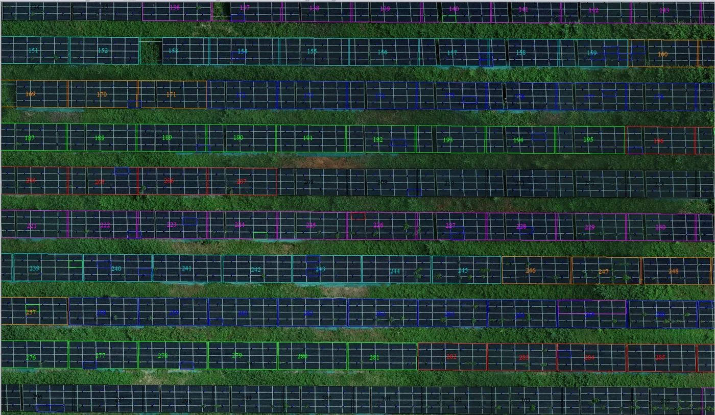
Corossony solar plant: 1,472 concrete footings surveyed at 2 mm per pixel before repowering
A 1:500 topographic plan of the plant in operation in September 2024, then the position and height of each of the 1,472 footings kept for the new structures, in December 2025.
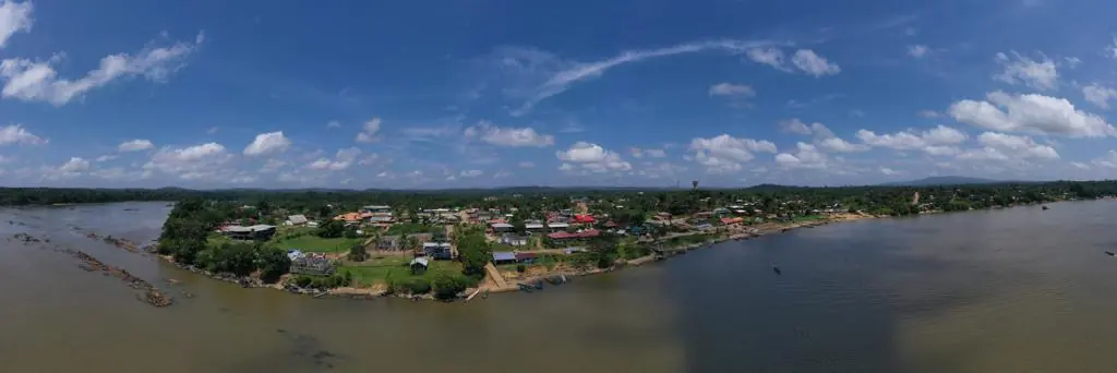
Waste in western French Guiana: eight visits in Saint-Laurent, four Maroni villages at 1 cm
Since October 2024, photos taken from the same viewpoints at every visit to the Saint-Laurent-du-Maroni waste storage facility, with a 3 cm orthophoto and a plan since December 2024; in February 2026, the waste sites of four river villages surveyed at 1 cm.
Tell us about your project
Location, area or structure, expected deliverables and timing: with these details we can propose a method and a quote.
97310 Kourou
French Guiana
Route des Trois-Îlets
97229 Les Trois-Îlets
Martinique
20030-041 Rio de Janeiro – RJ
Brazil