
- Home
- Projects
- New LiDAR: two surveys of the Macouria solar plant site, with 1.95 and 2.97 cm vertical error
New LiDAR: two surveys of the Macouria solar plant site, with 1.95 and 2.97 cm vertical error
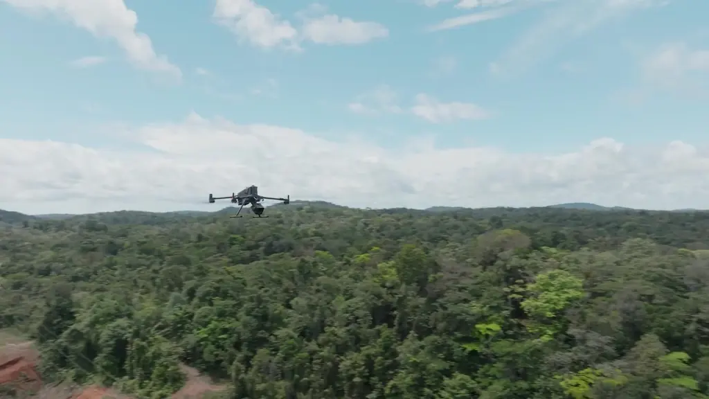
The fleet’s new LiDAR system, validated in June 2026 on our reference points, surveyed the site of Corsica Sole’s photovoltaic plant in Macouria twice in one month, to measure earthwork volumes.
Background
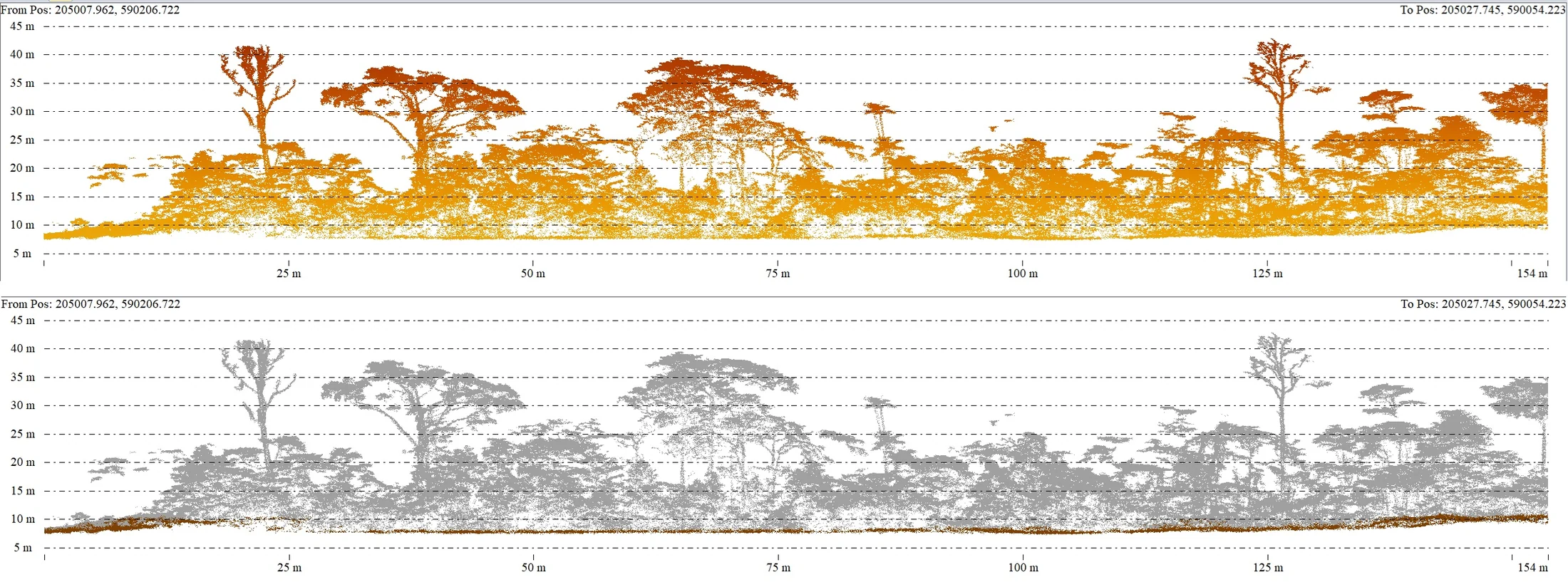
In French Guiana, the challenge of LiDAR is always to see the ground under a forty-metre forest. Before using a new system on client missions, we compared it with our reference points and processing methods. Its first mission met a construction need: in Macouria, Corsica Sole wanted to measure the volumes moved during the earthworks for its photovoltaic plant, with one survey after clearing and a second after topsoil stripping.
What we did
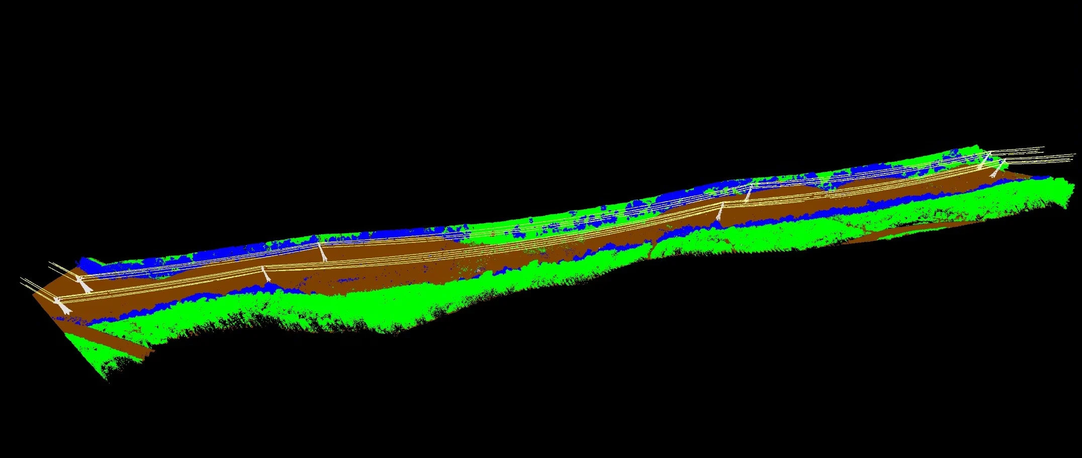
First test dataset on 4 June 2026, quality report in mid-June on three processing methods and on our reference points on the Petit-Saut road and at Matiti. First client survey on 1 September, after clearing: 9 hectares at 100 m height and 8 m/s, 487 points per square metre on average, 46 of them on the ground, and 597 photos at 1.22 cm per pixel taken in parallel. Of sixteen targets measured in RTK, six were used for control; on the ten independent check points, the error is 1.95 cm vertically for LiDAR and 2.4 cm horizontally for the orthophoto. Delivered on 3 September, followed by vectorised power lines in DWG on the 14th. Second survey on 2 October, after topsoil stripping: 8.78 hectares, 517 points per square metre, 2.97 cm vertically for LiDAR and 3.07 cm horizontally for the orthophoto on five check points, deliverables online on 6 October.
3 related missions in the log
Second LiDAR and photogrammetric survey of the Macouria solar plant site
On 2 October 2026, after topsoil stripping: 8.78 hectares, 517 points per m², 2.97 cm vertical error for LiDAR and 3.07 cm horizontal error for the orthophoto on five check points; deliverables online on 6 October.
- 517 points per m²
- 2,97 cm vertical error
First LiDAR and photogrammetric survey of the Macouria solar plant site
On 1 September 2026, after clearing: 9 hectares, sixteen targets including ten check points, 1.95 cm vertical error for LiDAR and 2.40 cm horizontal error for the orthophoto; delivered on 3 September, vectorised power lines in DWG on the 14th.
- 1,95 cm vertical error
- 16 targets
Orthophotos and terrain models of two planned solar sites
Flights from 15 to 20 February 2024; for one site in Montsinéry and one in Roura, orthophoto, terrain model and 1 m contour lines delivered on 20 February.
Videos
Gallery
Other projects

12,647 hectares of orthophotos at 3.5 cm for EPFA Guyane
From 4 December 2023 to 1 March 2024, eight sectors photographed at 3.5 cm per pixel, from Cayenne to Cacao: 343 flights, 184,464 photos, 50 ground control points and 26 check points. A second 6,545-hectare campaign began on 16 October 2026; its first sector was delivered on 19 October.
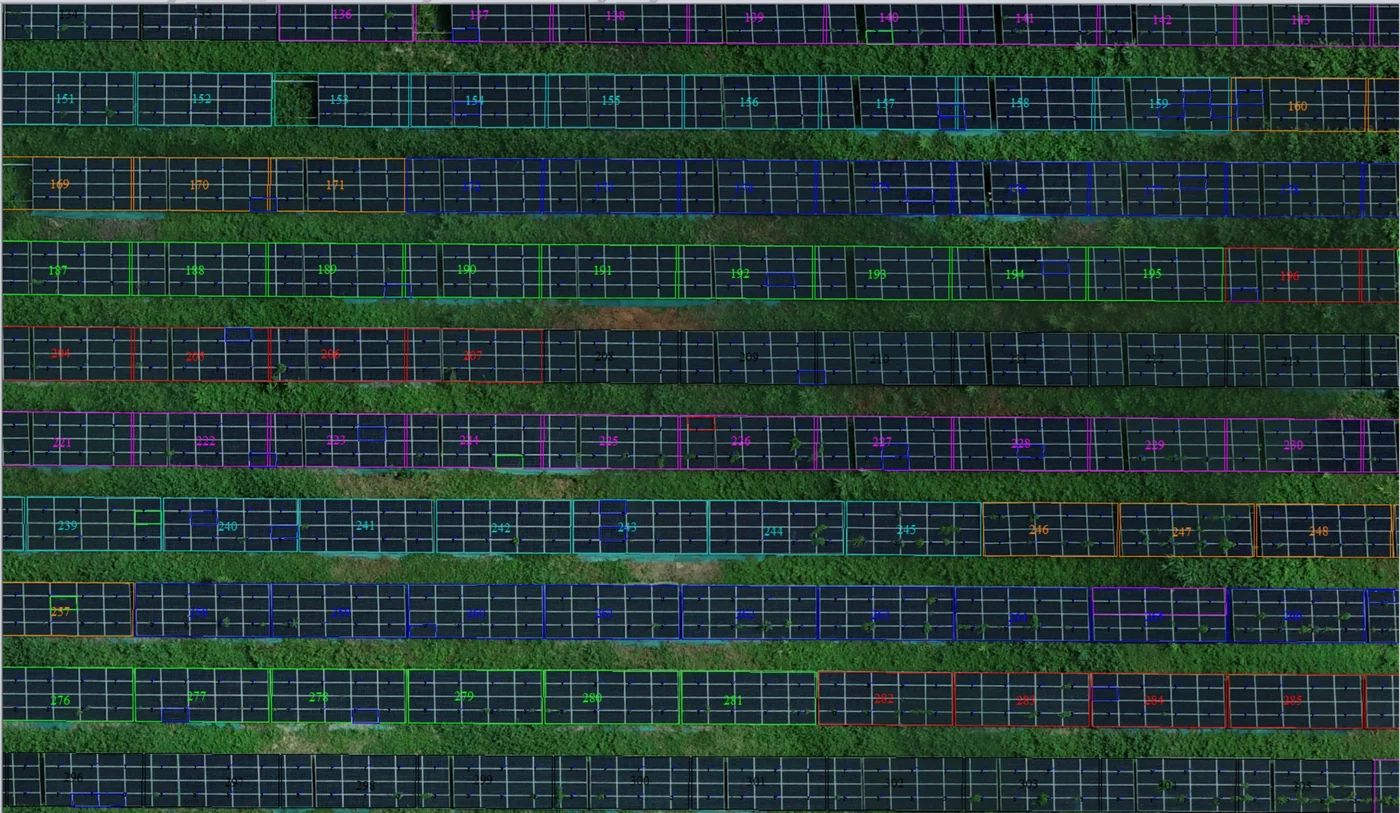
Corossony solar plant: 1,472 concrete footings surveyed at 2 mm per pixel before repowering
A 1:500 topographic plan of the plant in operation in September 2024, then the position and height of each of the 1,472 footings kept for the new structures, in December 2025.
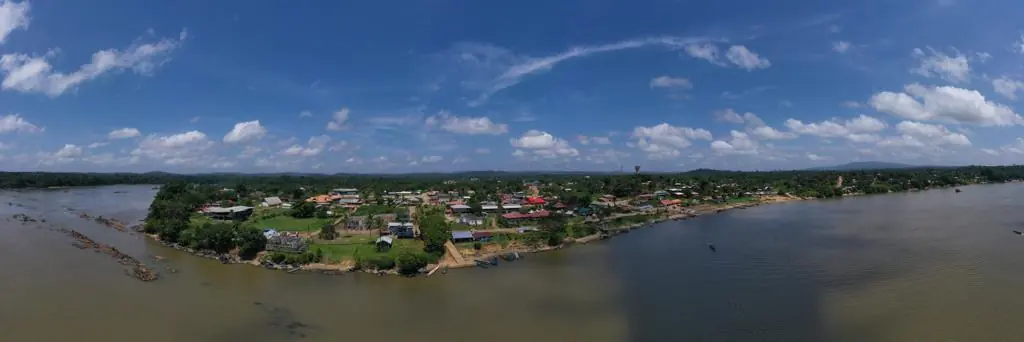
Waste in western French Guiana: eight visits in Saint-Laurent, four Maroni villages at 1 cm
Since October 2024, photos taken from the same viewpoints at every visit to the Saint-Laurent-du-Maroni waste storage facility, with a 3 cm orthophoto and a plan since December 2024; in February 2026, the waste sites of four river villages surveyed at 1 cm.
Tell us about your project
Location, area or structure, expected deliverables and timing: with these details we can propose a method and a quote.
97310 Kourou
French Guiana
Route des Trois-Îlets
97229 Les Trois-Îlets
Martinique
20030-041 Rio de Janeiro – RJ
Brazil