
- Home
- French Guiana
- Saint-Élie
Saint-Élie
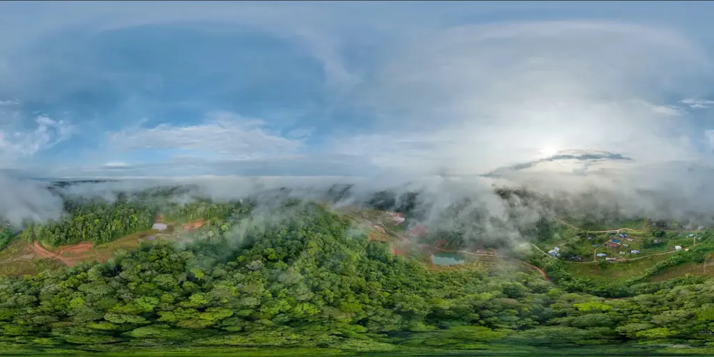
Saint-Élie, with 159 inhabitants over 5,680 km², is linked to the coast only across the Petit-Saut lake, 45 minutes by boat from the dam, and then by track. There is no permanent GNSS network station within 20 km: on 28 August 2024 we surveyed 625 hectares of the village and its surroundings at 3.5 cm per pixel for the municipality, tying the orthophoto to our own base station and to five points measured by precise point positioning (PPP). The municipality received the orthophoto, an A0 plan and a report for its development projects.
Key facts
| 2024 survey | 625 ha, 5,211 photos, 3.5 cm per pixel, 2.2 cm error on control points |
|---|---|
| Access | 45 min by boat from the Petit-Saut dam, then track |
| Missions listed | 1 |
On the map
One mission at this location
625-hectare orthophoto around the village of Saint-Élie
Acquisition on 28 August 2024: 5,211 photos and a 3.5 cm orthophoto, registered on a base station and five control points measured by precise point positioning (PPP), with no permanent GNSS network station within 20 km.
- 625 ha
- 3,5 cm per pixel
Tell us about your project
Location, area or structure, expected deliverables and timing: with these details we can propose a method and a quote.
97310 Kourou
French Guiana
Route des Trois-Îlets
97229 Les Trois-Îlets
Martinique
20030-041 Rio de Janeiro – RJ
Brazil