
- Home
- French Guiana
- Kaw and Régina
Kaw and Régina
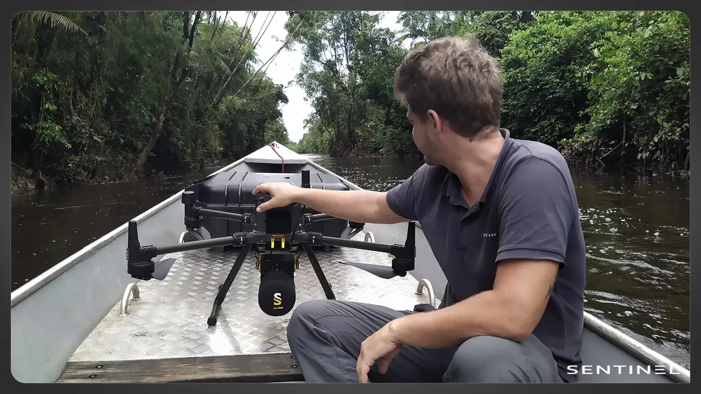
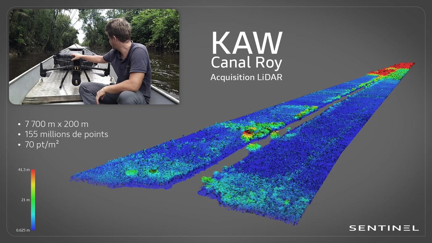
Régina covers 12,130 km² along the Approuague river, and the Kaw marshes, served by the RD6 road, are a national nature reserve. At the end of June 2024, with a prefectoral authorisation to fly over the reserve, we surveyed 7.7 km of the Roy canal, which links the Kaw river to the Approuague, by LiDAR from a pirogue for the directorate of territories and the sea: a 200 m wide corridor, 155 million points at 70 points per m², classified as ground and non-ground. In July 2025, again taking off from a pirogue, we surveyed 16 ha of forest on the banks of the Approuague for the Espace-Dev research unit: 3 cm orthophoto, terrain, surface and vegetation height models.
Key facts
| Roy canal | 7.7 km × 200 m, 155 million points, 70 points per m², June 2024 |
|---|---|
| Missions listed | 3 |
On the map
3 missions at this location
LiDAR and orthophoto of 16 hectares of forest from a dugout canoe, on the Approuague
On 16 July 2025, for the Espace-Dev unit: take-offs from the canoe, 3 cm orthophoto, 10 cm surface model, 50 cm terrain model and canopy height model delivered on 21 July.
- 16 ha
- 3 cm per pixel
LiDAR survey of 7.7 km of the Roy canal from a pirogue
In late June 2024, under a prefectoral authorisation to fly over the Kaw-Roura marshes nature reserve: a 7,700 m by 200 m corridor, 155 million points at 70 points/m², classified ground and above-ground; models delivered from 8 to 11 July 2024.
- 7,7 km
- 155 M points
- 70 pts/m²
Antenna-height panoramas of candidate sites
For each location, the drone climbs to the antenna heights under study and photographs the full horizon: seven locations between January and April 2024 in Rémire-Montjoly, at Palika and along the RN2, where the first location was photographed at five heights, from 48 to 60 m, with oblique photos for landscape integration.
Read the article
Tell us about your project
Location, area or structure, expected deliverables and timing: with these details we can propose a method and a quote.
97310 Kourou
French Guiana
Route des Trois-Îlets
97229 Les Trois-Îlets
Martinique
20030-041 Rio de Janeiro – RJ
Brazil