
- Home
- Projects
- Hydroelectric plant on the São Francisco river: 2,492 anomalies mapped in three days on site
Hydroelectric plant on the São Francisco river: 2,492 anomalies mapped in three days on site
Baseline survey of a hydroelectric plant on the São Francisco river, in the state of Bahia: 11,809 photos in 33 flights, 9 orthophotos totalling 46 gigapixels, two 3D models, a virtual tour and a web interface for the operator’s engineers.
Background
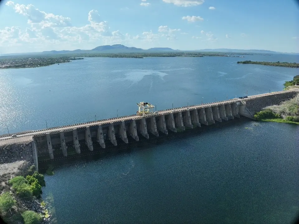
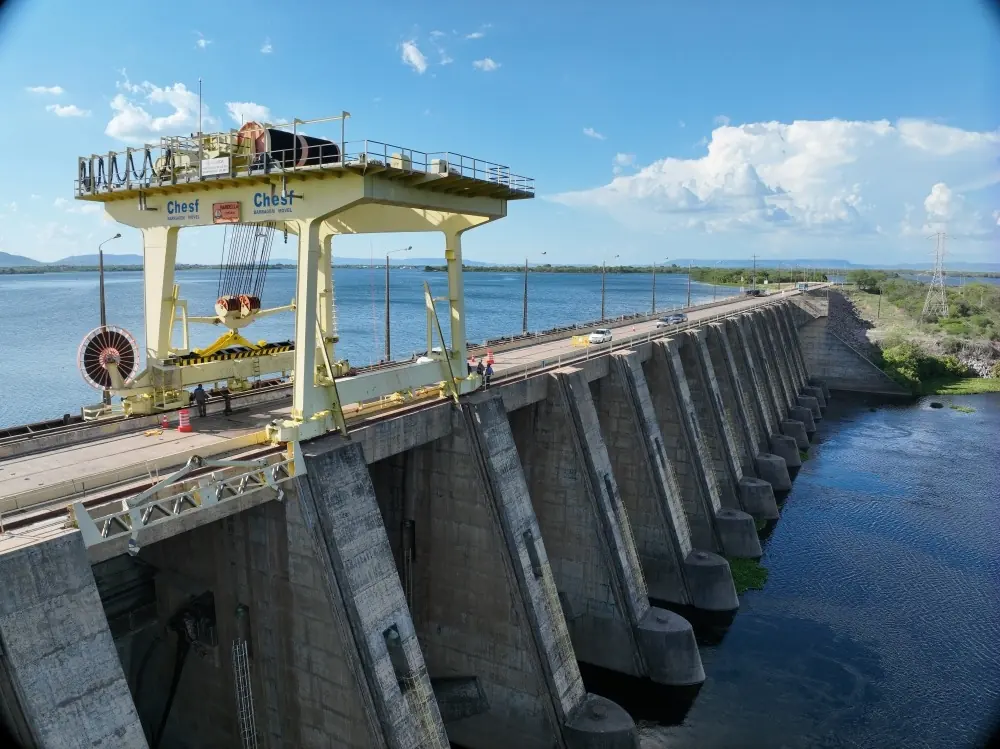
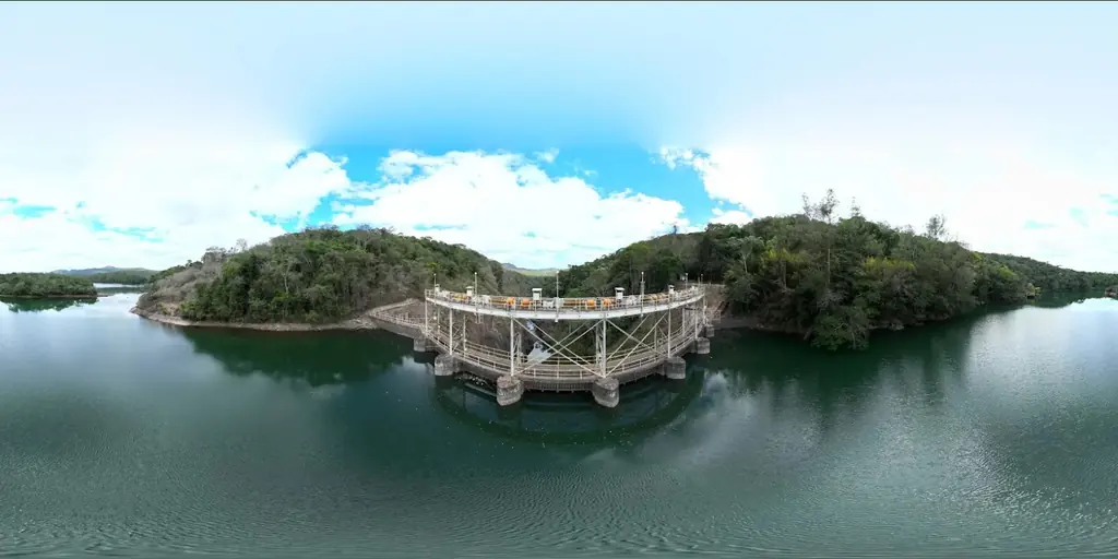
The plant stands on the São Francisco river, in the state of Bahia. Its dam is of mixed design, combining concrete and rockfill. The engineering firm holding the operator’s contract entrusted us with the photogrammetric acquisition and processing: a baseline of the powerhouse, spillway, water intake and crest, to be compared in future inspections.
What we did
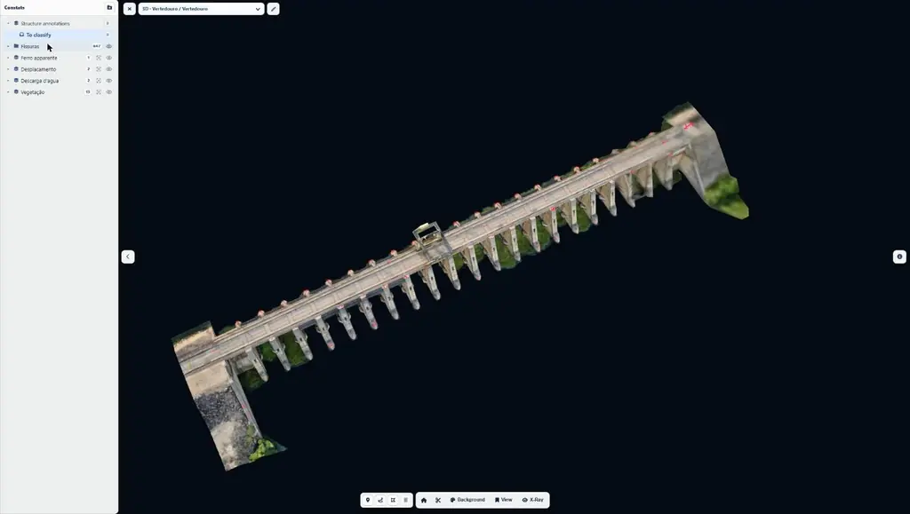
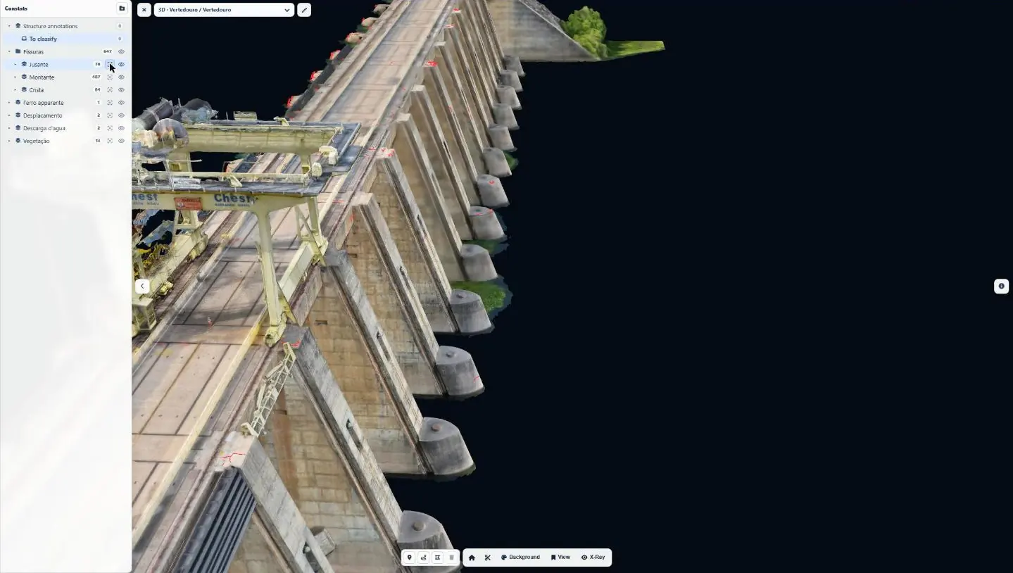
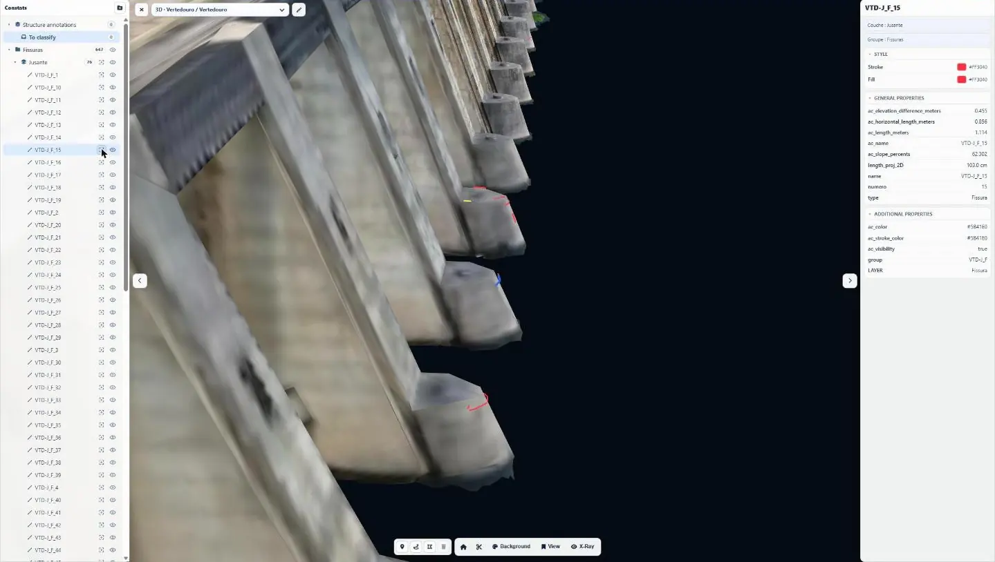
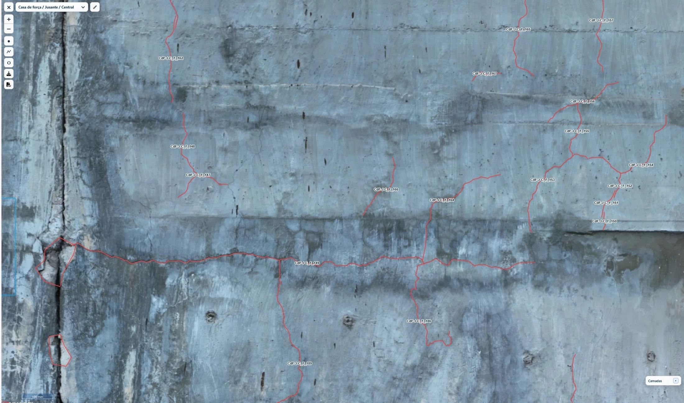
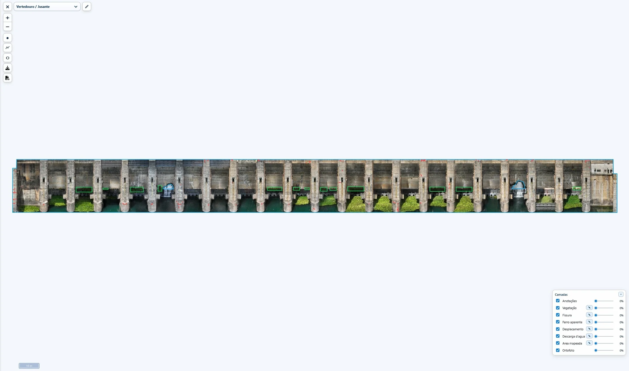
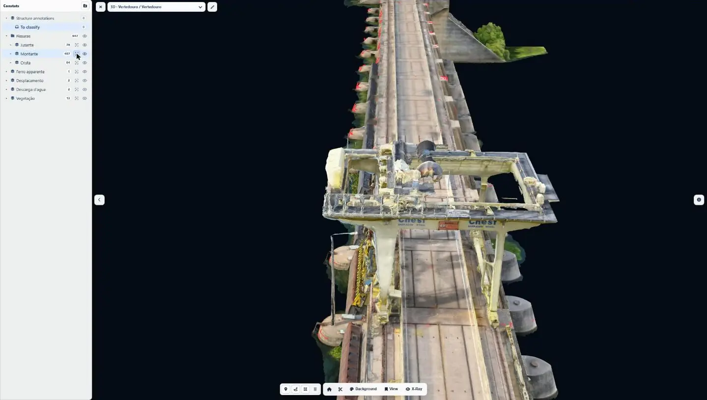
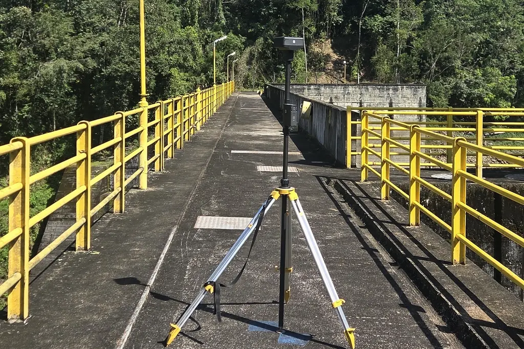
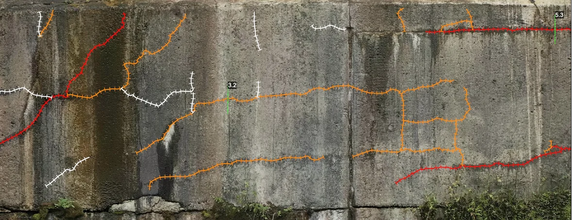
From 21 to 24 January 2025, after the site safety induction, two people worked with a single compact RTK drone, corrected by a permanent station of the IBGE geodetic network 3 km away. On the first day, general flights at 50 m with terrain following produced the 3D models that same evening, on which the close-range flights were computed; the drone then flew along the faces less than 4 m away, targeting 1 mm per pixel, and surveyed the galleries in 360° on the last day: 11,809 photos, 33 flights, more than 11 hours of flight, 66.5 km flown. Ten days of processing produced 9 orthophotos, from 0.85 to 3.08 mm per pixel on the faces and 8 mm on the crest, two 3D models, two modelled spillway trunnion beams and a 10-panorama virtual tour. Anomalies are classified into six types and named by zone, type and number: 2,492 in total, including 2,432 cracks totalling 2.65 km, 1,765 on the powerhouse, 581 on the spillway and 145 on the crest. The report was delivered on 18 February 2025 with a web interface, and the operator filed it in its project document system.
2 related missions in the log
First web interface delivered for a dam inspection
On 18 February 2025, with the plant report: the 9 orthophotos with their anomalies positioned, 4 3D models (powerhouse, spillway, two trunnion beams) and the virtual tour, available online for one year; a video tutorial was added after the technical meeting on 21 February.
- 9 orthophotos online
- 4 3D models
Drone inspection of a hydroelectric plant on the São Francisco river
From 21 to 24 January 2025, after the site safety induction: 11,809 photos in 33 flights and 66.5 km flown, including close-range flights less than 4 m from the faces; 9 orthophotos (46 gigapixels), two 3D models, a virtual tour and 2,492 mapped anomalies, delivered with a web interface.
- 11 809 photos
- 2 492 anomalies mapped
Gallery
Other projects
Juquiá complex: seven dams with crests of 140 to 265 m
Two-year contract signed in July 2026 with an energy producer: the seven dams flown over in August, the faces of Salto do Iporanga and then Serraria surveyed in detail, the rest scheduled for the 2027 dry season.
Peti dam: 4,052 cracks tracked from one campaign to the next since 2022
Four annual campaigns on an arch dam in Minas Gerais: a baseline of 4,052 cracks surveyed at 0.8 mm per pixel in 2022, then only what appears, lengthens or becomes more visible.
Furnas test blocks: cracks measured at 0.15 mm per pixel
For Furnas’ research programme on concrete affected by expansive reactions, face-by-face measurement of the cracks of 80 cm test cubes: 26 blocks in 2022 at 0.25 mm per pixel, 14 blocks in 2023 at 0.15 mm.
Tell us about your project
Location, area or structure, expected deliverables and timing: with these details we can propose a method and a quote.
97310 Kourou
French Guiana
Route des Trois-Îlets
97229 Les Trois-Îlets
Martinique
20030-041 Rio de Janeiro – RJ
Brazil