
Jarry-Houëlbourg: 327 hectares of wetland in a 2.36 cm orthophoto
For the Conservatoire du littoral, the orthophoto and surface model of the Jarry-Houëlbourg wetland and its edge with the business district: 15,445 images taken over one weekend in February 2026, 3.64 cm root-mean-square error on six check points.
Background
In Baie-Mahault, the Jarry-Houëlbourg wetland borders Guadeloupe’s main business district. The Conservatoire du littoral, which has been running the Ja-Riv project since 2016 to recover land occupied by businesses, wanted recent orthophotos of the wetland and of its interface with built-up areas. Our bid was selected on 14 January 2026. The final footprint, made of the Conservatoire’s target zones widened by a 100 m buffer, was approved on 26 January: about 327 hectares, inside the control zone of Pointe-à-Pitre airport and close to the N1 expressway.
What we did
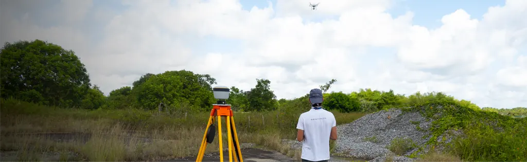
We prepared the flight plan and the target layout; the flight notifications were filed on 5 February. Our partner Antilles Drone laid out the targets on 13 February 2026, then flew on 14 and 15 February with a Matrice 4E: seven hours of flight. The block of 15,445 images, taken at 91.7 m above ground, was adjusted on nine ground control points and checked on six check points measured by GNSS: 3.47 cm root-mean-square error on the former, 3.64 cm on the latter, of which 2.41 cm in plan. Processing produced a dense cloud of 2.59 billion points, a 4.73 cm surface model (447 points per m²) and an orthophoto of 145,563 × 81,247 pixels, delivered as tiles and as a 1.5 GB compressed file. Everything was handed over on 22 February, in RGAF09 / UTM 20N with IGN 88 heights.
In the mission log
Orthophoto of 327 hectares of the Jarry-Houëlbourg wetland
Flight plan and targets prepared by Sentinel, notifications filed on 5 February, targets laid out on 13 February 2026 and flights on the 14th and 15th by Antilles Drone (seven hours of flight): 15,445 images at 2.36 cm per pixel, 3.64 cm root-mean-square error on six check points; deliverables handed over on 22 February.
- 327 ha
- 2,36 cm per pixel
Other projects
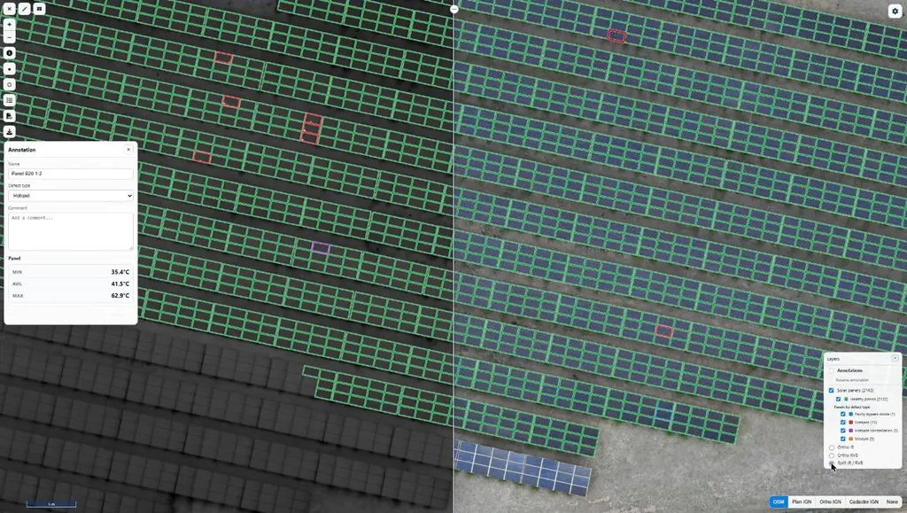
Eleven solar plants in 2026: 33,333 panels checked one by one
June to September 2026: eleven plants surveyed by thermography for Genergies in Martinique, Guadeloupe and French Guiana: 33,333 panels checked one by one.
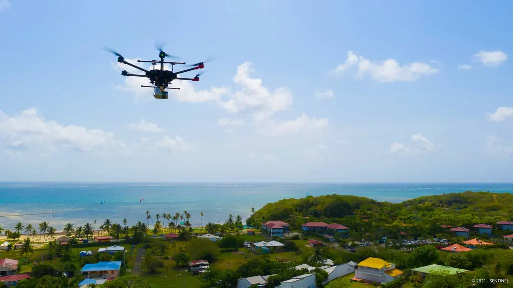
Martinique coastline: three precision surveys, from 1.78 to 3.72 cm
At Pointe des Sables in Le Vauclin and in Saint-Pierre for DEAL Martinique, at the mouth of the Prêcheur river for BRGM during the lahar crisis: three orthophotos whose accuracy was measured on independent targets, delivered between one and five days after the flights.
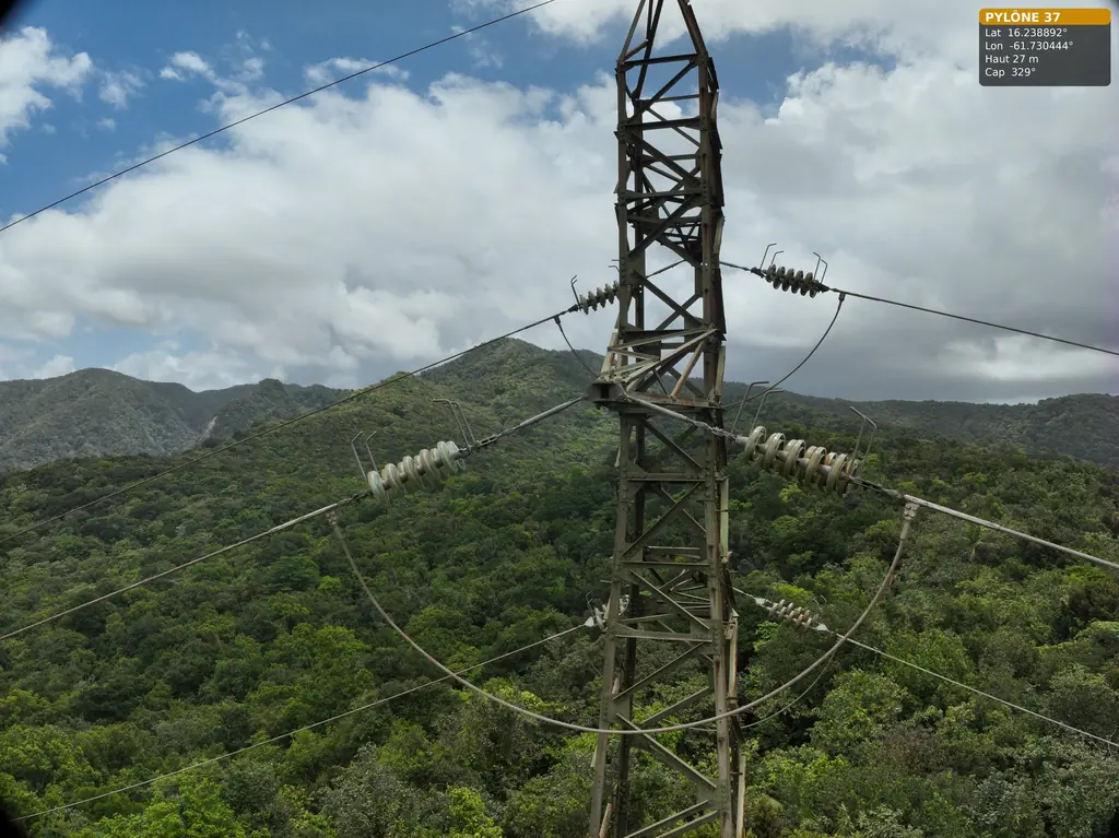
63 and 90 kV lines: three pylons in the Guadeloupe rainforest, five wooden poles in French Guiana
For Omexom, in June and July 2026: three 63 kV pylons in the Guadeloupe national park, then in French Guiana a fault check after an outage and five wooden supports of a 90 kV line.
Tell us about your project
Location, area or structure, expected deliverables and timing: with these details we can propose a method and a quote.
97310 Kourou
French Guiana
Route des Trois-Îlets
97229 Les Trois-Îlets
Martinique
20030-041 Rio de Janeiro – RJ
Brazil