
- Home
- Sentinel Cloud
- Dams and hydraulic structures
Sentinel Cloud for dams and hydraulic structures
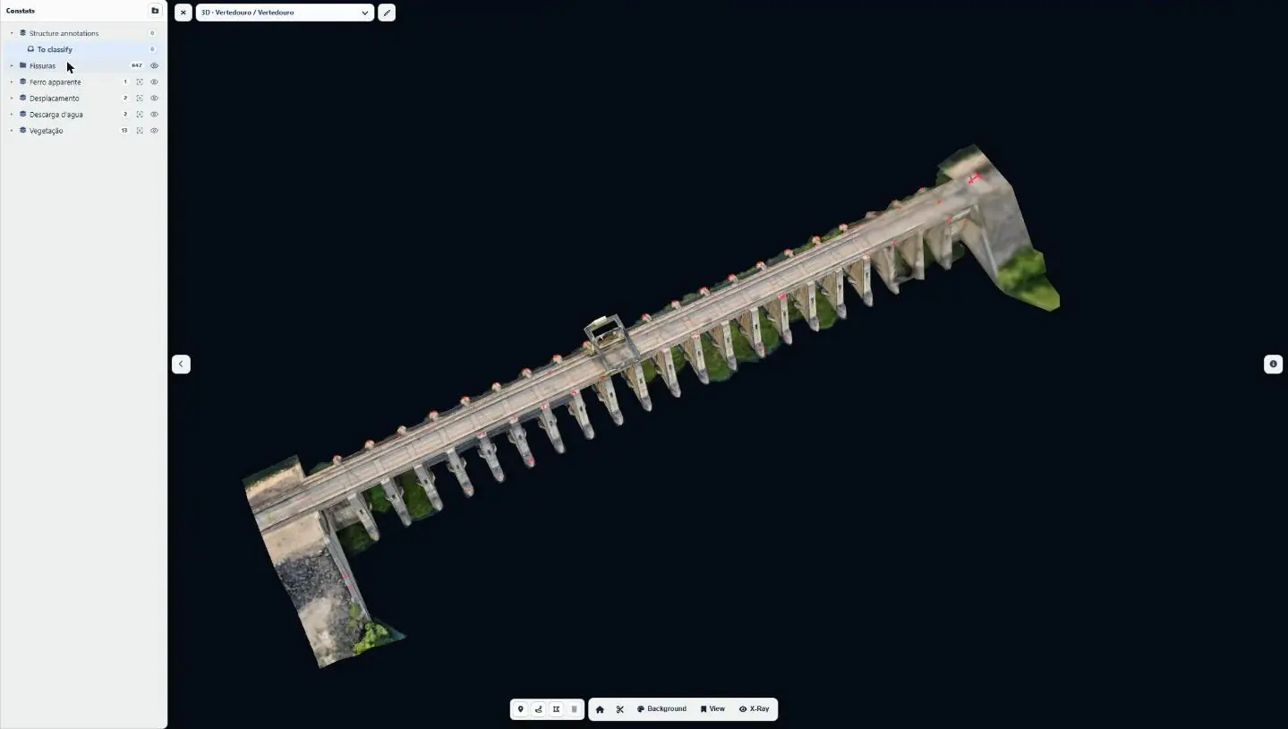
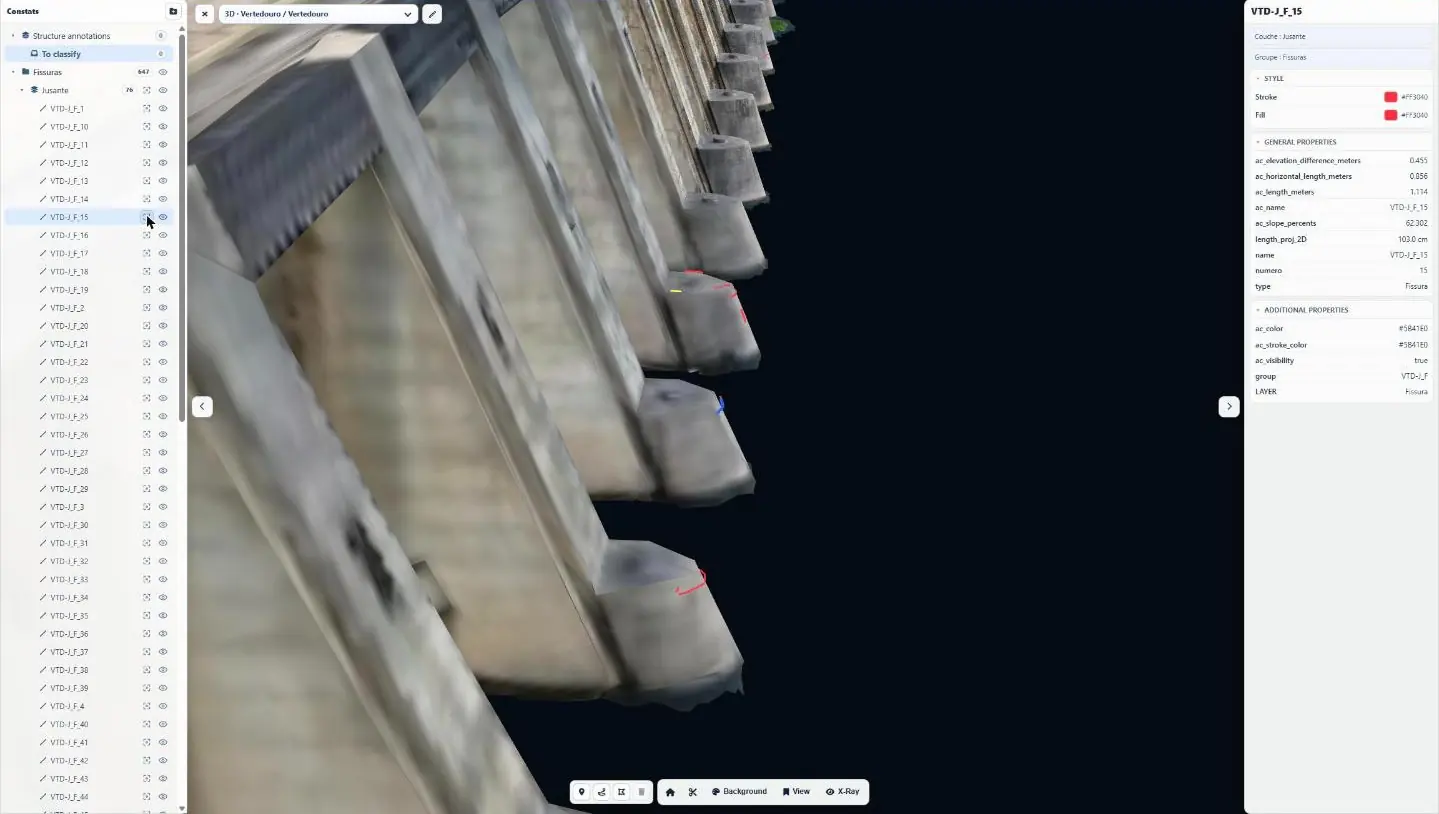
The structure diagnosis module brings together sub-millimetre orthophotos of the faces, defect mapping and the 3D model of the structure. The operator’s engineers navigate the model, draw cross-sections, consult each crack with its properties and compare campaigns.
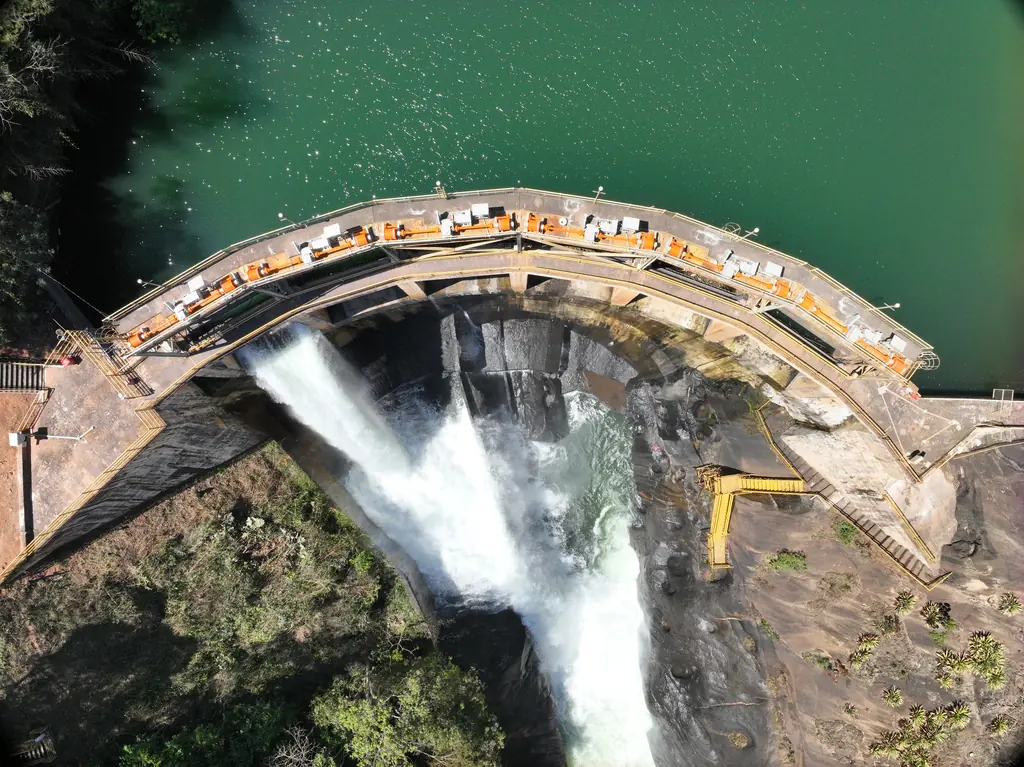
What the structure diagnosis module does
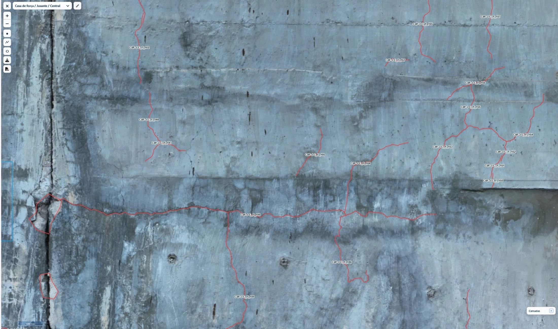
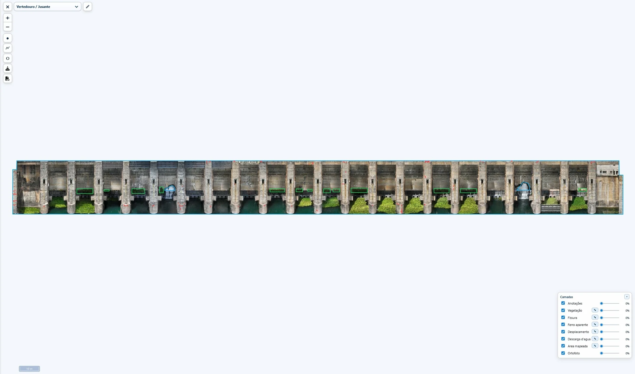
2D defect maps
One map per face or block: orthophoto, annotations and digital elevation model, with a selector to switch between them or show everything.
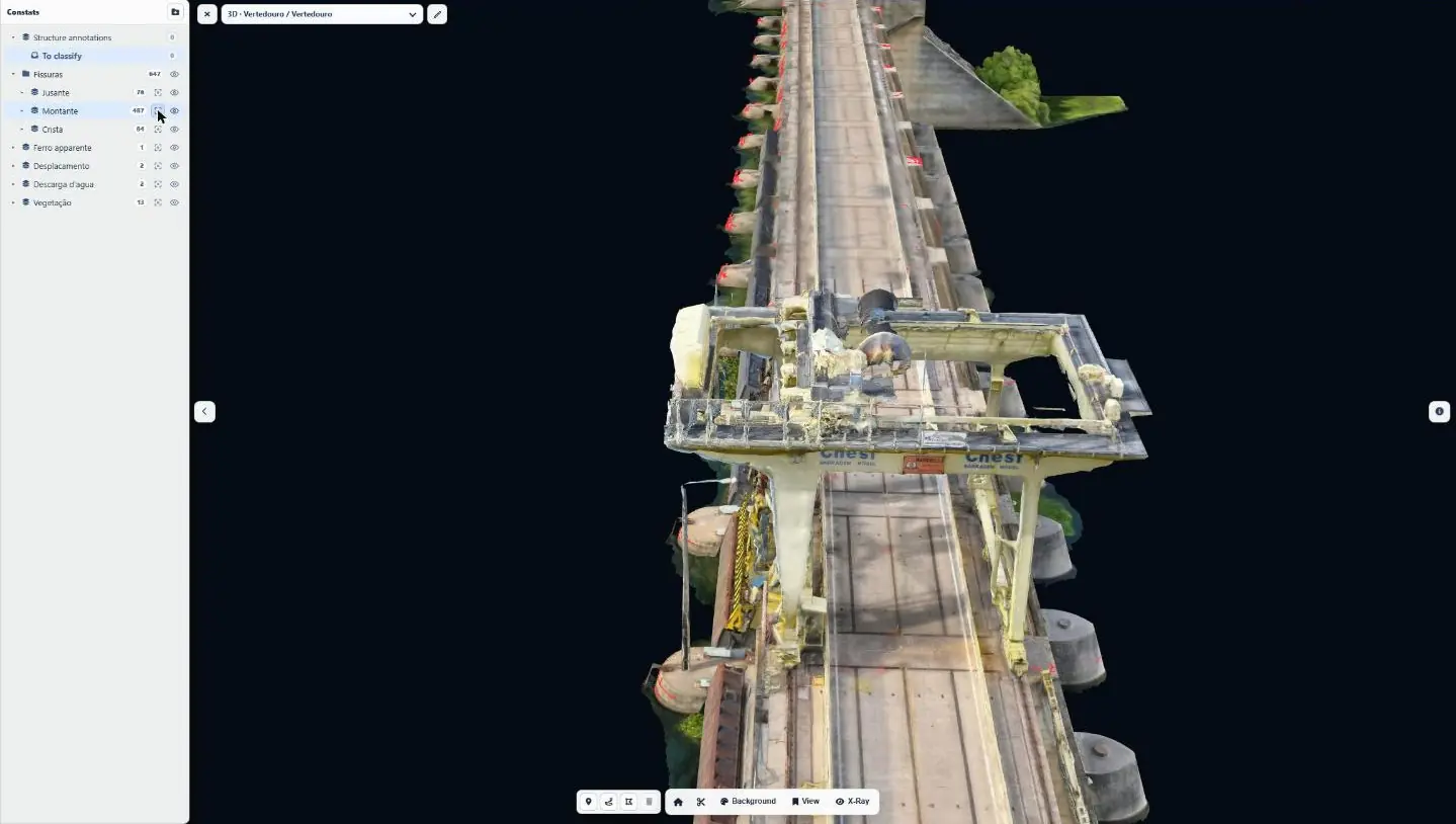
3D model of the structure
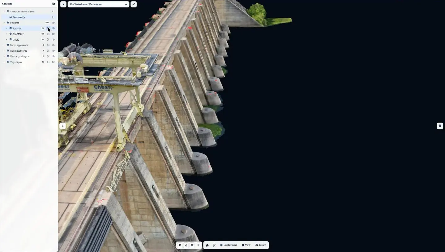
Tiled textured mesh displayed in the browser, on a satellite and terrain background or a neutral one; initial view saved by the operator and by each user.
Cross-sections and slices
Section axes drawn in the model and saved as reference or personal axes; position along the axis, slice thickness and direction inversion.
X-ray mode
The model becomes translucent so that defects behind the volumes can be read.
Every defect has its record
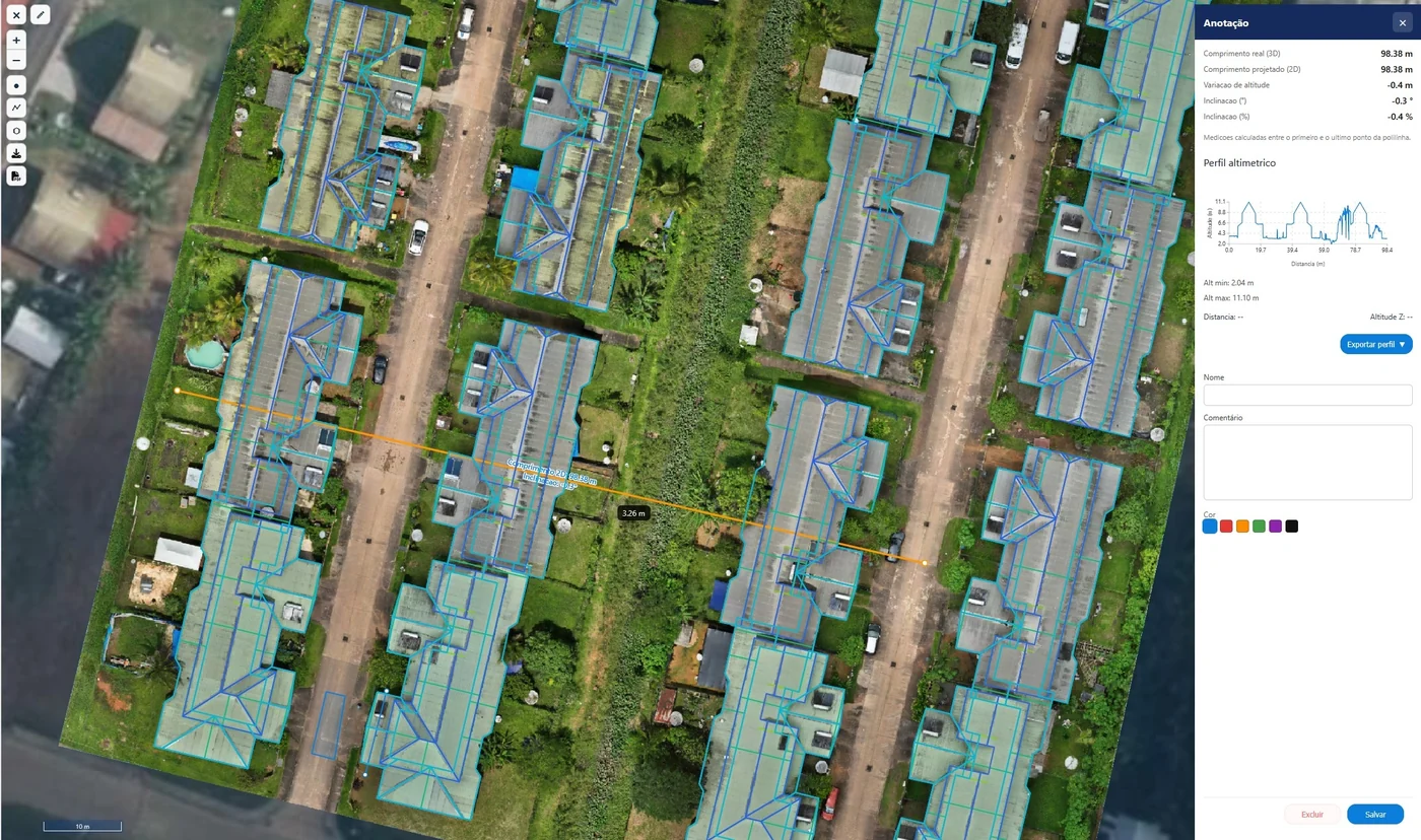
GeoJSON layers organised by family (cracks, exposed rebar, detachments, seepage, vegetation) and by face, with name, number, real and projected length, elevation change, slope, colour and comments; one click recentres the model on the defect.
Banks, canals and reservoirs
The same module is used for erosion monitoring of banks and canals: orthophotos and elevation models of successive campaigns, consulted by technical services.
On a real structure
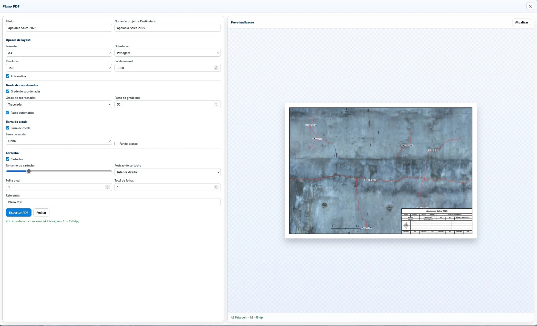
Hydroelectric plant on the São Francisco river (Bahia, Brazil), January 2025 campaign.
Monitoring that lasts
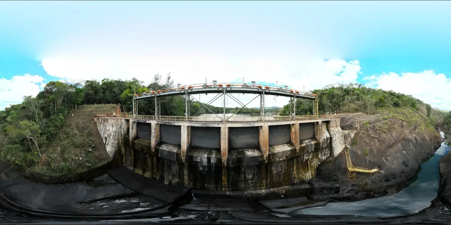
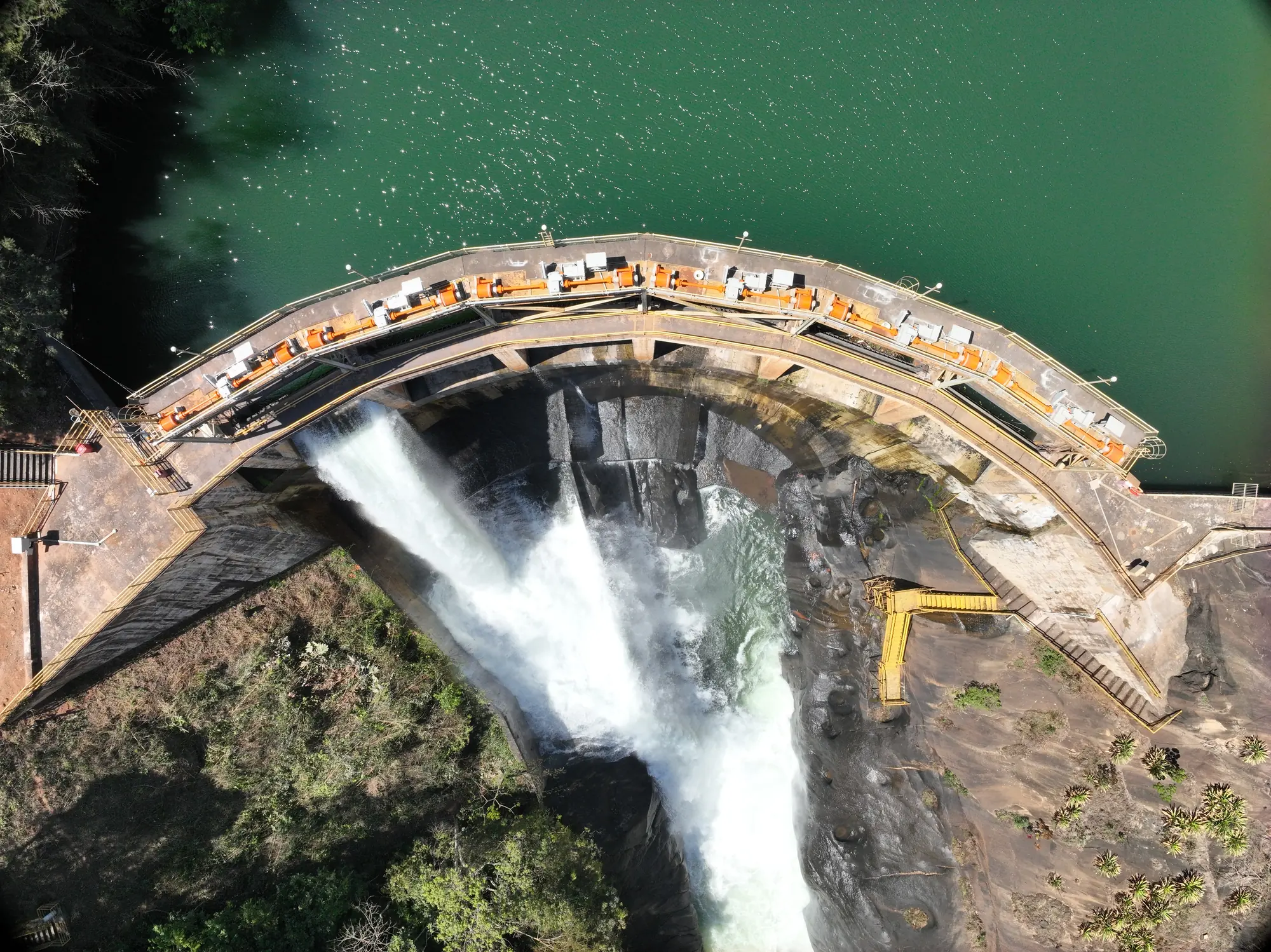
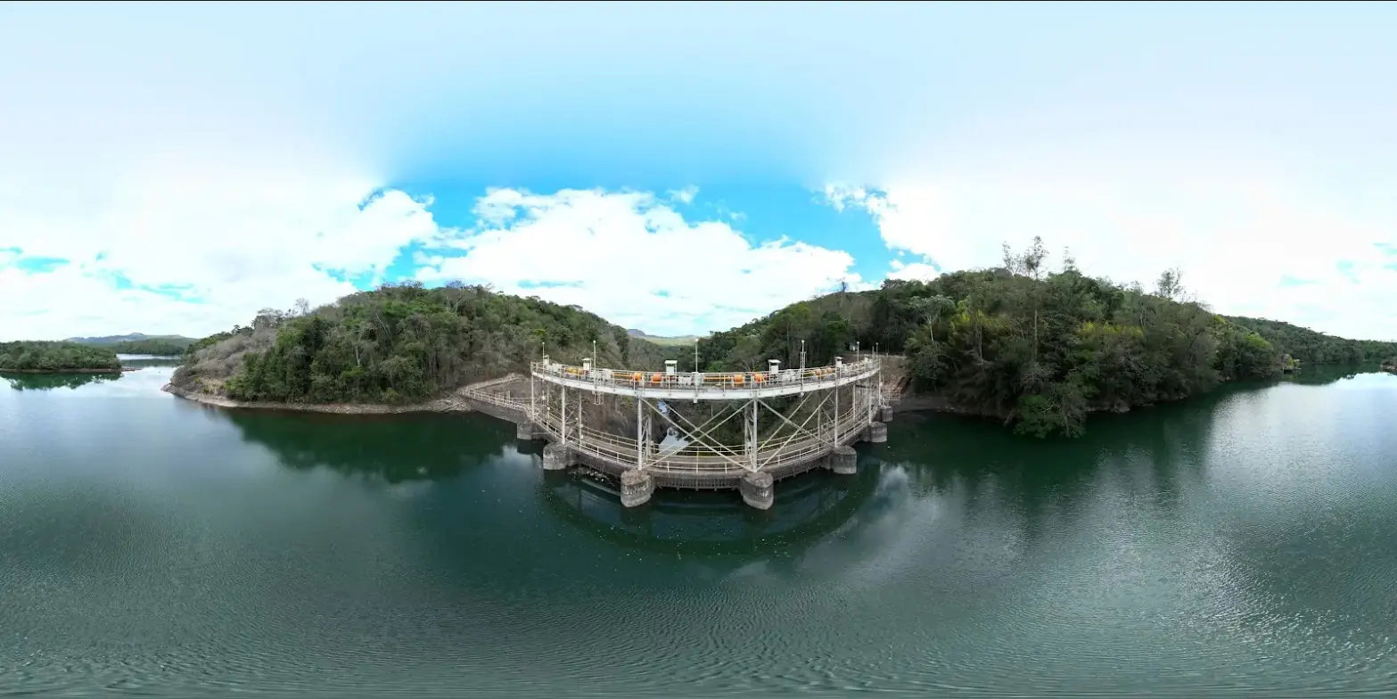
Peti arch dam (Minas Gerais): four annual campaigns between 2022 and 2025, registered on the same reference marks. The initial state counted 4,052 cracks; the 2025 campaign found only six new ones, confirming the stability of the structure.
| Structure | 46 m high arch, 85 m crest, 9.4 MW |
|---|---|
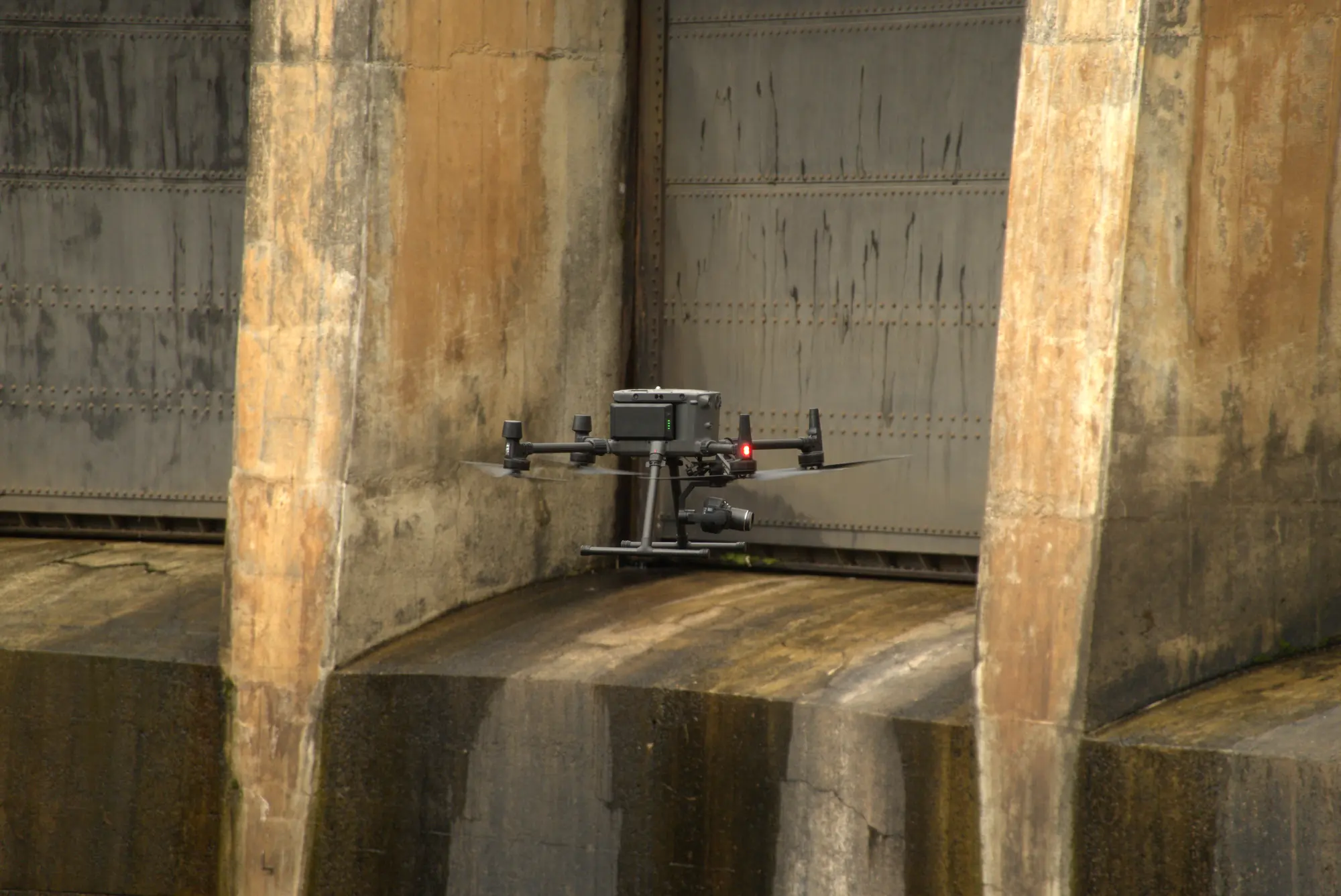
| 2025 campaign | 2,037 photos, 21 flights, 12.7 km flown |
| Face resolution | 0.7 to 1.2 mm per pixel |
| Deliverables | 7 orthophotos, 1 3D model, 71 plates, shapefiles |
Frequently asked questions
Which structures have you already covered?
Arch and gravity dams in Brazil (Minas Gerais, Bahia, São Paulo), concrete test blocks, canals and reservoirs in French Guiana; five structure diagnosis projects were online in October 2026.
Is the 3D model updated at each campaign?
Each campaign produces its own model and orthophotos; previous campaigns remain available as sub-projects for comparison.
See the platform with your data
Send us a dataset or describe your site: we will open a demo access for you.
97310 Kourou
French Guiana
Route des Trois-Îlets
97229 Les Trois-Îlets
Martinique
20030-041 Rio de Janeiro – RJ
Brazil