
- Home
- Guadeloupe
- Côte-sous-le-Vent
Côte-sous-le-Vent
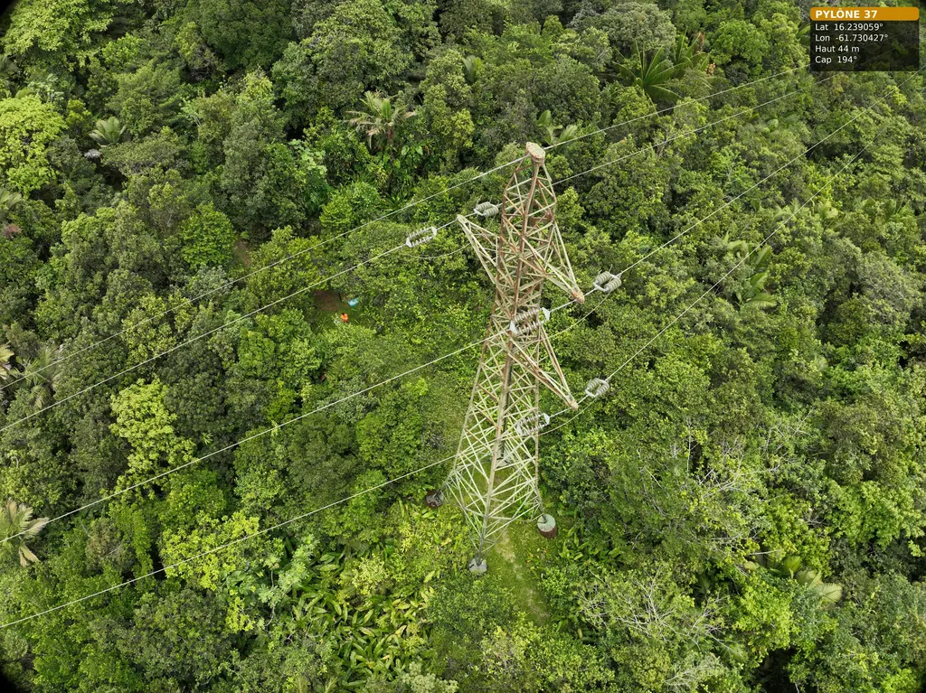
On Basse-Terre, the 63 kV Bouillante–Sainte-Rose line crosses the mountains along the Trace des Contrebandiers. We photographed its pylons 36, 37 and 38 at close range there over two days, 2 June and 16 July 2026, with Antilles Drone and an Omexom staff member for access along the trail. In Baillif we surveyed a site by LiDAR for an agrivoltaic project in January 2026: ground points on a 50 cm grid and 1 m contour lines, delivered on 20 January.
Key facts
| 63 kV line, 2026 | Pylons 36, 37 and 38 on the Contrebandiers trail (Pointe-Noire): fieldwork on 2 June and 16 July |
|---|---|
| Baillif, January 2026 | LiDAR for an agrivoltaic project, DWG deliverables on 20 January |
| Missions listed | 3 |
On the map
3 missions at this location
Second day on the 63 kV Bouillante – Sainte-Rose line: pylon 36 completed
On 15 July 2026, with Antilles Drone: 178 photos of pylon 36, from the general views and access to the three arms, with the earth-wire anchorage and the spans towards pylons 35 and 37. Deliverable for pylons 36 to 38 handed over on 16 July.
- 178 photos
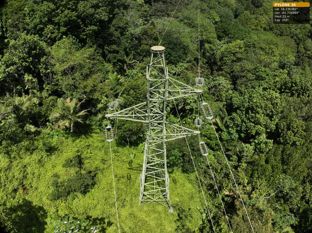
Detailed inspection of pylons on the 63 kV Bouillante–Sainte-Rose line
On 2 June 2026, with Antilles Drone and an Omexom employee for access, on the Trace des Contrebandiers: pylon 37 fully covered at the top of the hill, pylons 36 and 38 photographed from a distance from that position. Pylon 36 was completed on 15 July.
Read the article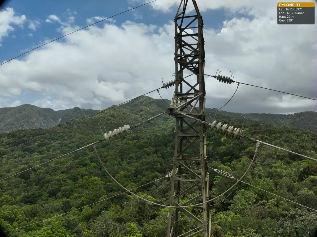
LiDAR survey of 23 hectares for an agrivoltaic project in Baillif
Favourable opinion from the Departmental Council on 12 January 2026 for flying near Baillif aerodrome; LiDAR acquisition on 16 January by Antilles Drone, delivery on the 19th: contour lines at 1 m intervals and ground points at 50 cm spacing, in RGAF09 / IGN 88.
Tell us about your project
Location, area or structure, expected deliverables and timing: with these details we can propose a method and a quote.
97310 Kourou
French Guiana
Route des Trois-Îlets
97229 Les Trois-Îlets
Martinique
20030-041 Rio de Janeiro – RJ
Brazil