
- Home
- Guadeloupe
Drone services in Guadeloupe and Saint-Martin: thermography, LiDAR and pylon inspection
In Guadeloupe, Sentinel prepares the missions, processes the data and delivers the reports; flights are carried out by our partner Antilles Drone or by our Martinique team. Since 2022: thermal surveys of the Creuilly plant in Le Moule, a 327-hectare orthophoto of the Jarry-Houëlbourg wetland for the Conservatoire du littoral, eight ground-mounted plants diagnosed in August 2026 (18,671 panels), and the pylons of the 63 kV Bouillante–Sainte-Rose line. In Saint-Martin we surveyed a site in the port of Galisbay and the surroundings of Grand-Case aerodrome.
Our services on site
Towns and sites covered: Le Moule, Jarry, Baie-Mahault, Le Gosier, Petit-Canal, Saint-François, Gourbeyre, Pointe-Noire, Sainte-Rose, Baillif, Saint-Martin.
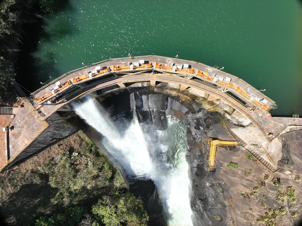
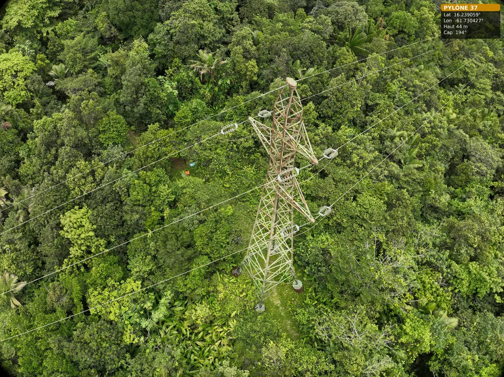
Structural inspection
Dams, bridges, façades, towers and roofs
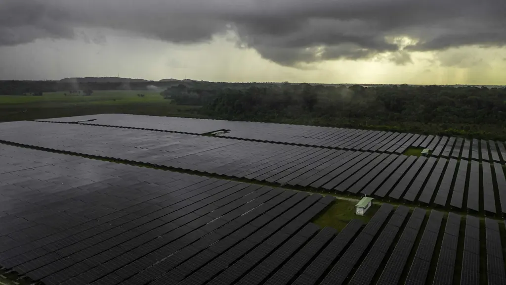
Thermography
Solar plants, buildings, industrial sites
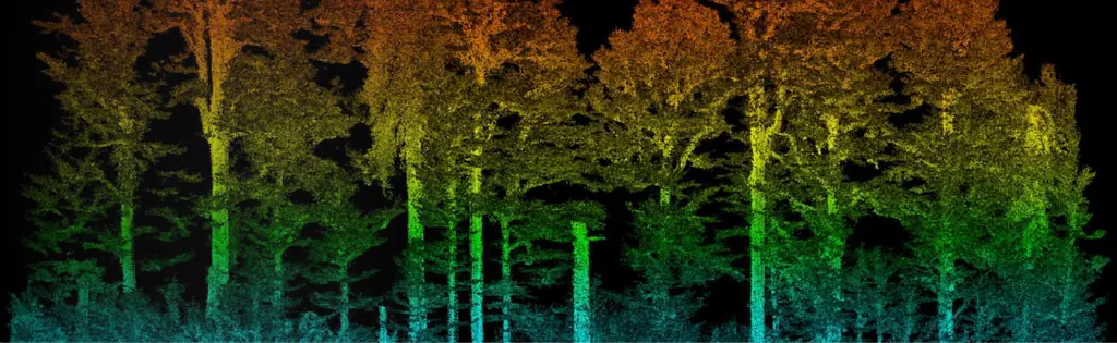
Surveying and LiDAR
Topographic surveys, LiDAR, photogrammetry

Construction monitoring
Progress, quantities, time-lapses
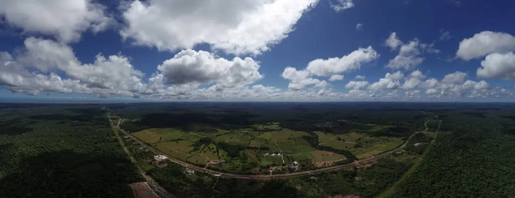
Film and 360° tours
Films, aerial photos, virtual tours
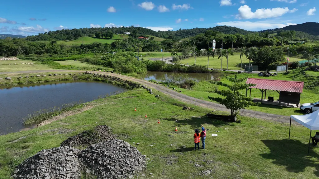
Courses and practical exams
Drone piloting, photogrammetry, STS scenarios
18 missions in Guadeloupe since 2023
Inspection and overview of an industrial building
Acquisition on 14 September 2026 by our partner Antilles Drone, results delivered the next day.
Diagnosis of eight ground-mounted photovoltaic plants in Guadeloupe
Eight ground-mounted plants exporting all their output, flown from 3 to 5 August 2026 with additional flights on the 13th: 18,671 panels in infrared at 3 cm and visible at 1 cm, under 1,000 to 1,267 W/m²; a detailed report, a summary and a plan per plant, approved on 19 August.
- 18 671 panels
- 8 plants
Second day on the 63 kV Bouillante – Sainte-Rose line: pylon 36 completed
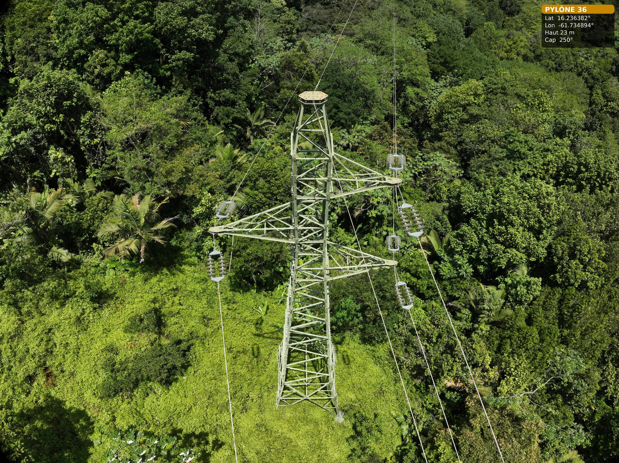
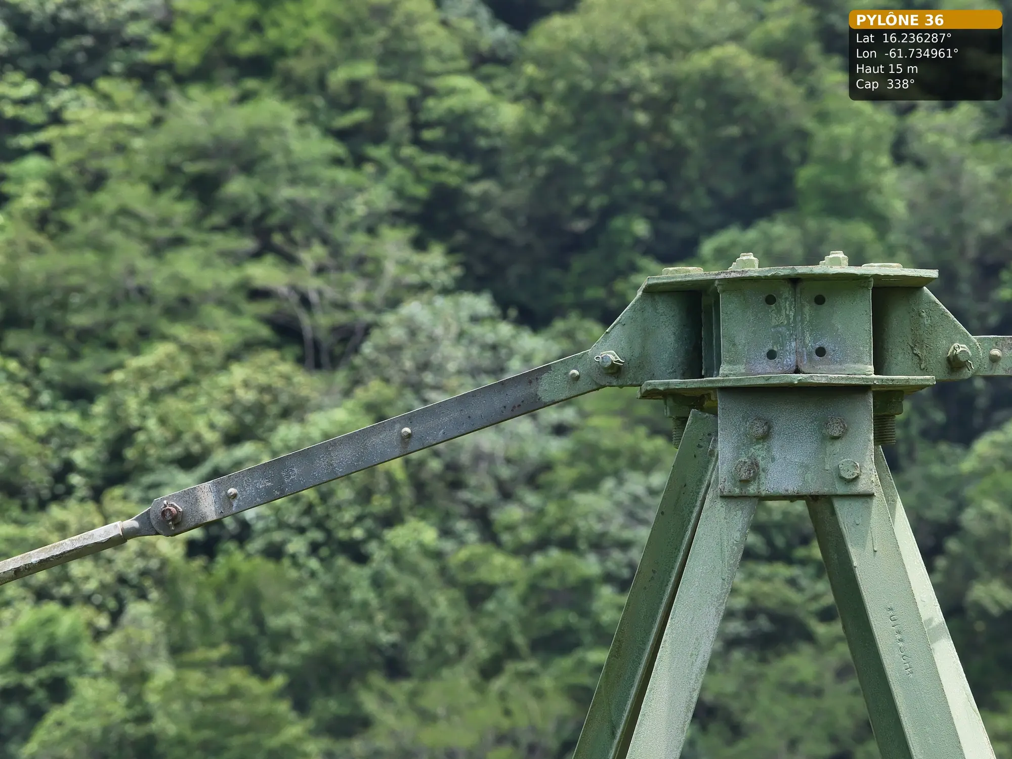
On 15 July 2026, with Antilles Drone: 178 photos of pylon 36, from the general views and access to the three arms, with the earth-wire anchorage and the spans towards pylons 35 and 37. Deliverable for pylons 36 to 38 handed over on 16 July.
- 178 photos
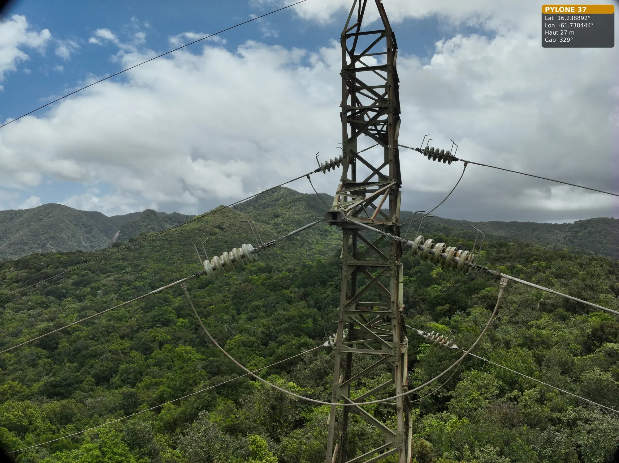
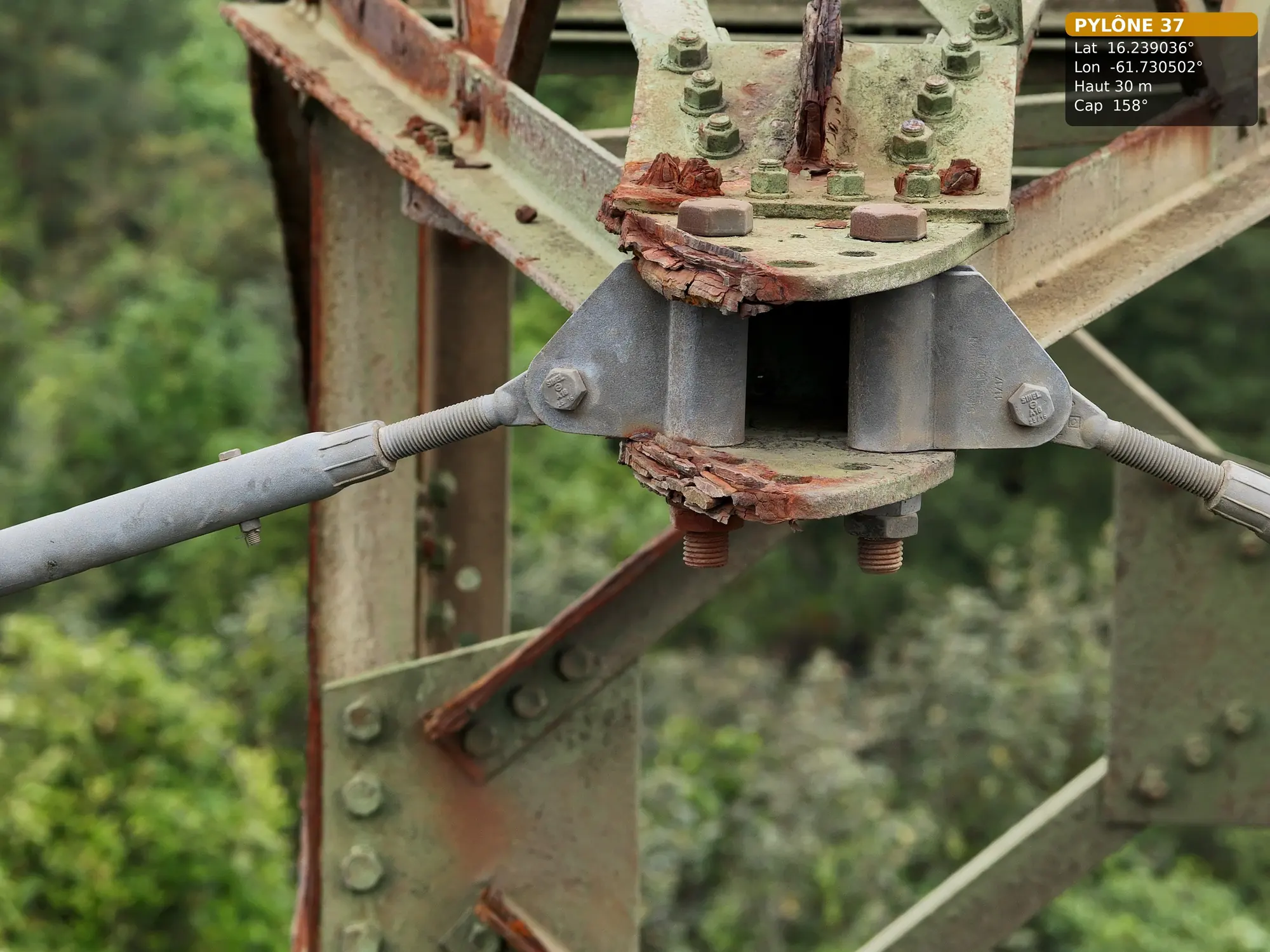
Detailed inspection of pylons on the 63 kV Bouillante–Sainte-Rose line
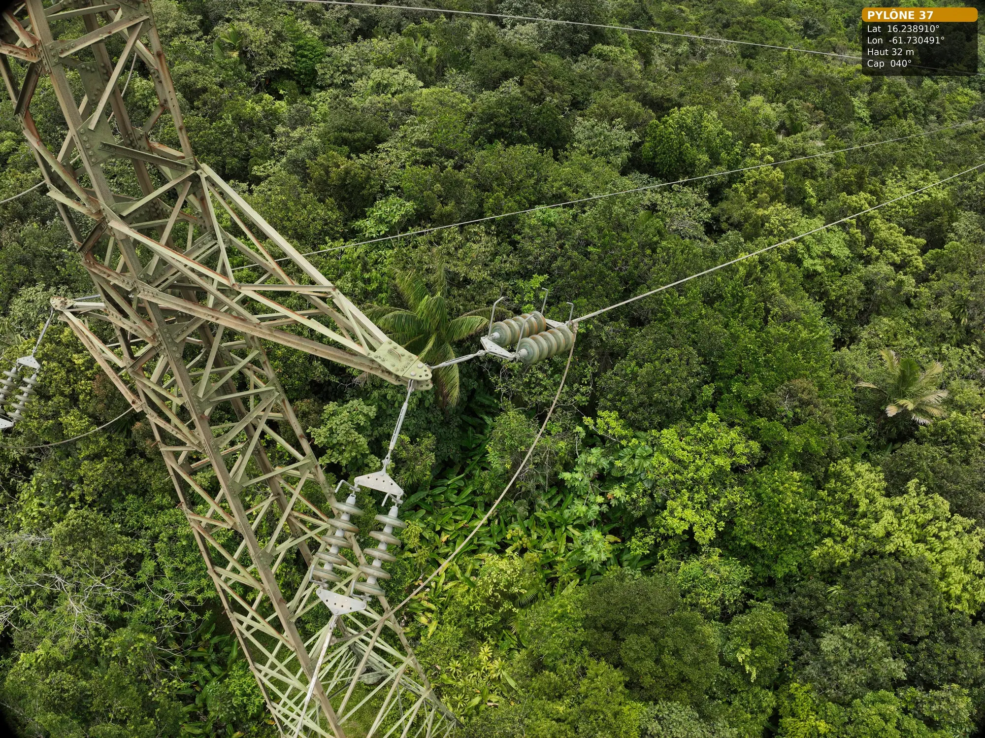
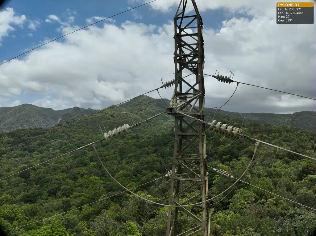
On 2 June 2026, with Antilles Drone and an Omexom employee for access, on the Trace des Contrebandiers: pylon 37 fully covered at the top of the hill, pylons 36 and 38 photographed from a distance from that position. Pylon 36 was completed on 15 July.
Read the articleLiDAR survey beside the runway at Grand-Case aerodrome
Wooded area of about 8 hectares beside the runway: control points on 13 April 2026, photogrammetry and LiDAR flights on the 14th and 15th at no more than 30 m, in coordination with the AFIS; 3 cm orthophoto, ground points at 2 m spacing and existing drawing re-registered in RGAF09 delivered on 17 April.
Read the articleOrthophoto of 327 hectares of the Jarry-Houëlbourg wetland
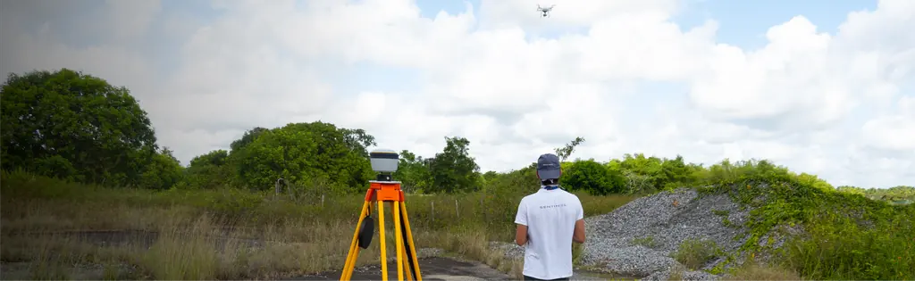
Flight plan and targets prepared by Sentinel, notifications filed on 5 February, targets laid out on 13 February 2026 and flights on the 14th and 15th by Antilles Drone (seven hours of flight): 15,445 images at 2.36 cm per pixel, 3.64 cm root-mean-square error on six check points; deliverables handed over on 22 February.
- 327 ha
- 2,36 cm per pixel
LiDAR ground points at 15 cm spacing for the earthworks studies
The roads and utilities designer noticed height differences between the 2024 and 2025 surveys: his calculations relied on the 2024 photogrammetric contours, which follow the canopy in wooded areas. On 12 February 2026, delivery of the LiDAR ground points over his two 8 m check strips.
Read the articleLiDAR survey of 23 hectares for an agrivoltaic project in Baillif
Favourable opinion from the Departmental Council on 12 January 2026 for flying near Baillif aerodrome; LiDAR acquisition on 16 January by Antilles Drone, delivery on the 19th: contour lines at 1 m intervals and ground points at 50 cm spacing, in RGAF09 / IGN 88.
Second thermal survey of the SOCOGAR rooftop plant in Jarry
On Saturday 13 December 2025, with all inverters feeding in: visible and infrared orthophotos, report and multi-layer defect plan delivered on 15 December.
Read the articleThermal survey of a photovoltaic plant in Le Moule
Ready-to-fly thermal missions sent to Antilles Drone on 3 November (34 m, 3 cm per pixel, visible at 1.92 cm), flights on the 5th under 906 W/m², report on the 7th: 7,704 modules checked and compared with the 2022 campaign.
- 7 704 modules
- 3 cm per pixel in infrared
Thermal survey of the SOCOGAR photovoltaic plant in Jarry
248 kWp rooftop plant with 758 modules: flight plan designed by Sentinel and capture by our partner Antilles Drone, visible at 35 m for 1 cm per pixel and infrared at 30 m in crossed grids; report on 29 August, second visit on 13 December 2025 with the plant producing.
- 758 modules
Photogrammetric survey of a mutual insurance building’s roof
Acquisition on 8 August 2025 by our partner Antilles Drone, processing and delivery on the 13th.
Mission locations
Each point links to the mission in the log; each location has its own page.
In the field
Projects
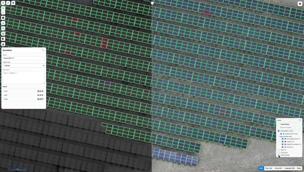
Eleven solar plants in 2026: 33,333 panels checked one by one
June to September 2026: eleven plants surveyed by thermography for Genergies in Martinique, Guadeloupe and French Guiana: 33,333 panels checked one by one.
Jarry-Houëlbourg: 327 hectares of wetland in a 2.36 cm orthophoto
For the Conservatoire du littoral, the orthophoto and surface model of the Jarry-Houëlbourg wetland and its edge with the business district: 15,445 images taken over one weekend in February 2026, 3.64 cm root-mean-square error on six check points.
63 and 90 kV lines: three pylons in the Guadeloupe rainforest, five wooden poles in French Guiana
For Omexom, in June and July 2026: three 63 kV pylons in the Guadeloupe national park, then in French Guiana a fault check after an outage and five wooden supports of a 90 kV line.

More than 1,000 rooftops surveyed since 2019 for a solar installer
Pre-installation roof surveys, 3D shading studies and thermal surveys of rooftop plants, across three territories since 2019.
Urbasolar: five rooftop plants checked by thermography in Martinique and Guadeloupe
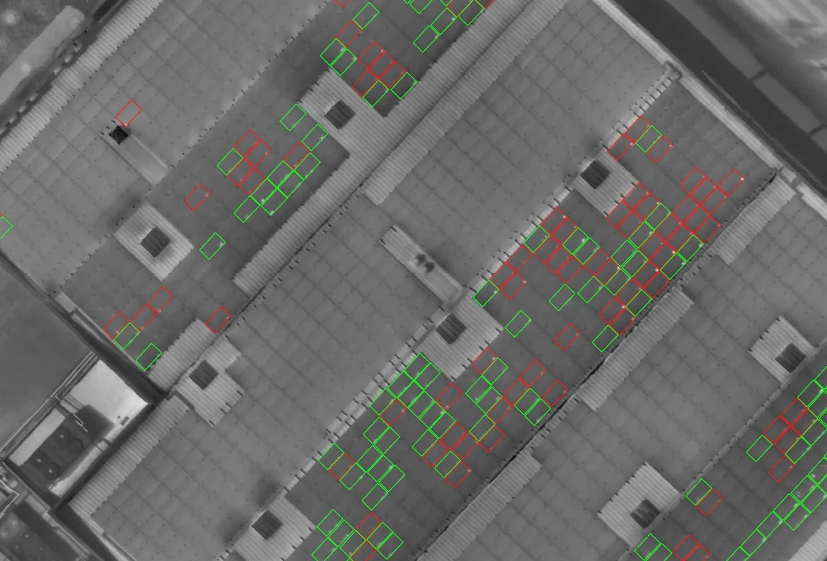
From March 2024 to April 2026: 4,082 modules in La Trinité, a string identification protocol, two roofs in Le Lamentin in a single morning, a campaign repeated in Jarry once the plant was producing, and a survey before rewiring.
Your contact
MartiniqueDomaine de Château Gaillard
Route des Trois-Îlets
97229 Les Trois-Îlets
Martinique
Frequently asked questions
Who flies in Guadeloupe?
Antilles Drone’s pilots, with flight plans and instructions prepared by Sentinel, or our Martinique team, as for the eight plants diagnosed in August 2026; processing and reports are done by our Martinique and French Guiana teams.
Do you work in Saint-Martin?
Yes, from Martinique: a site in the port of Galisbay surveyed by photogrammetry in November 2024 then by LiDAR in March 2025, and the surroundings of Grand-Case aerodrome in April 2026, with a local observer from Tilaya Drones.
Tell us about your project
Location, area or structure, expected deliverables and timing: with these details we can propose a method and a quote.
97310 Kourou
French Guiana
Route des Trois-Îlets
97229 Les Trois-Îlets
Martinique
20030-041 Rio de Janeiro – RJ
Brazil