
- Home
- Martinique
- Trois-Îlets and the South
Trois-Îlets and the South
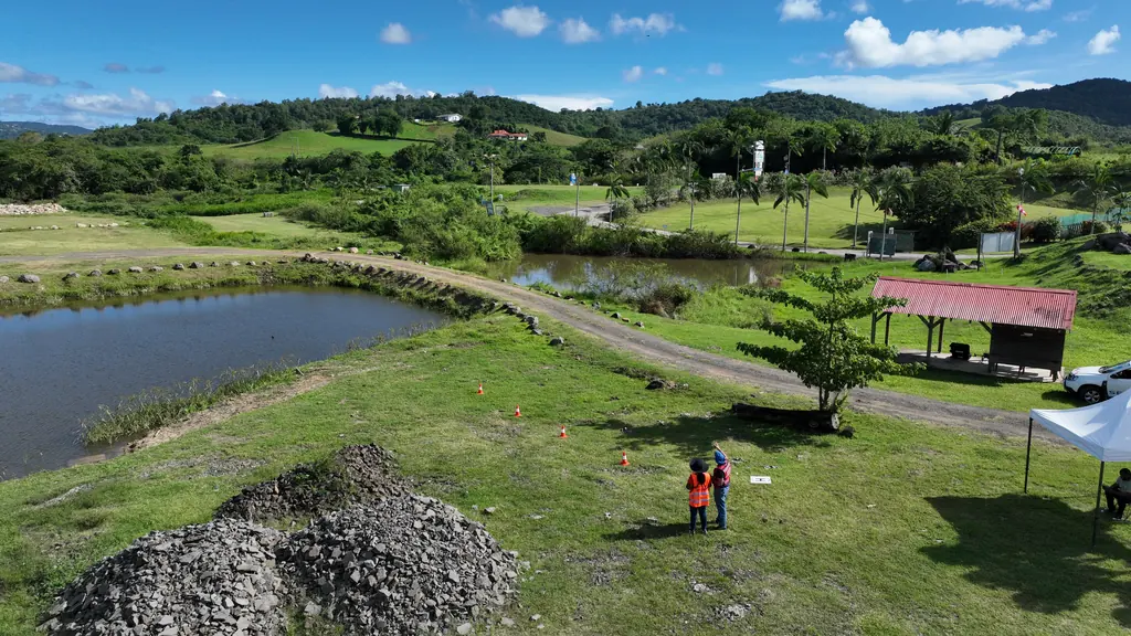
Our Caribbean branch is based at the Château Gaillard estate in Trois-Îlets, with a classroom and a flying field: the island’s missions start from there, and practical courses are held there. In the South we have surveyed a site in Trois-Îlets for an engineering firm (February 2025) and a plot in Anses-d’Arlet for a private owner (May 2026) by LiDAR and photogrammetry, surveyed a site in Le Marin for an architect (September 2025), measured the height of a building in Le Diamant and produced photos and a 3D model of a school complex in Rivière-Pilote for an architecture competition (July 2026).
Key facts
| Missions listed | 7 |
|---|
On the map
7 missions at this location
Photos and 3D model of a school complex for an architecture competition
Oblique flights at 80 m with terrain following and 80% overlap; photos and 3D model of the future school site delivered to the practice in July 2026.
High-resolution LiDAR and photogrammetry survey of a plot
Roof measurement of a housing estate for a photovoltaic project
Balaou estate: acquisition in early February 2026, roof plan delivered on 4 February as a layered georeferenced PDF, completed version on 20 April.
Measuring a building’s height by drone
Aerial photo report for an architecture practice in Le Marin
Aerial photos of the town delivered to the practice in September 2025, for an architecture project.
3D survey of the roofs and façades of the Thorailles estate (168 homes)
Flights from 28 April 2025, after tenants had been notified: 3D model of the whole estate, then façade flights programmed on that model; clouds by zone filtered at 10 cm and plan on 16 May, DWG at 10 and 20 cm on 28 May, for the waterproofing renewal.
Read the articleLiDAR and RGB survey in Trois-Îlets
LiDAR and photogrammetric survey of 33 partly wooded hectares: digital surface, terrain and height models and orthophoto delivered on 12 February 2025, then the orthophoto as ECW and uncompressed TIFF on 19 February.
Tell us about your project
Location, area or structure, expected deliverables and timing: with these details we can propose a method and a quote.
97310 Kourou
French Guiana
Route des Trois-Îlets
97229 Les Trois-Îlets
Martinique
20030-041 Rio de Janeiro – RJ
Brazil