
- Home
- Martinique
Drone services in Martinique: thermography, surveying, inspection and courses
From the Château Gaillard estate in Trois-Îlets, our Martinique team carries out photovoltaic plant thermography, LiDAR and photogrammetric surveys, roof inspections and courses for teams across the French West Indies. In 2026 it checked the 2,143 panels of the Le Carbet plant and the 8,996 of Bellefontaine, modelled the centre of Schœlcher in 3D after that of Fort-de-France, surveyed 12.5 hectares of the Saint-Pierre coastline for the State services, and flew in Guadeloupe and Saint-Martin.
Our services on site
Towns and sites covered: Fort-de-France, Le Lamentin, Schœlcher, Le Carbet, Saint-Pierre, Bellefontaine, Macouba, Le Lorrain, La Trinité, Le Robert, Le Vauclin, Ducos, Trois-Îlets, Anses-d’Arlet.
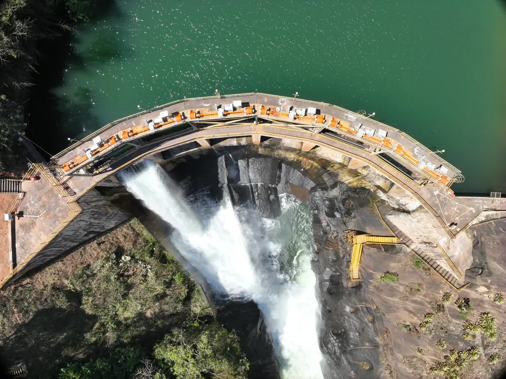
Structural inspection
Dams, bridges, façades, towers and roofs
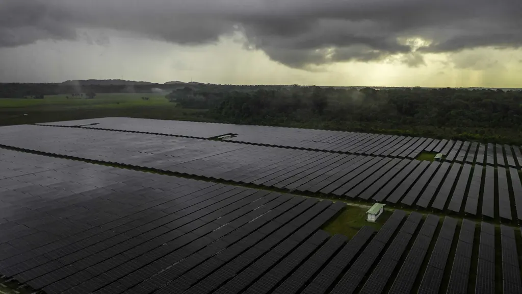
Thermography
Solar plants, buildings, industrial sites
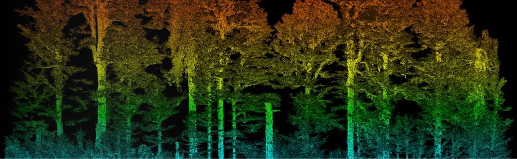
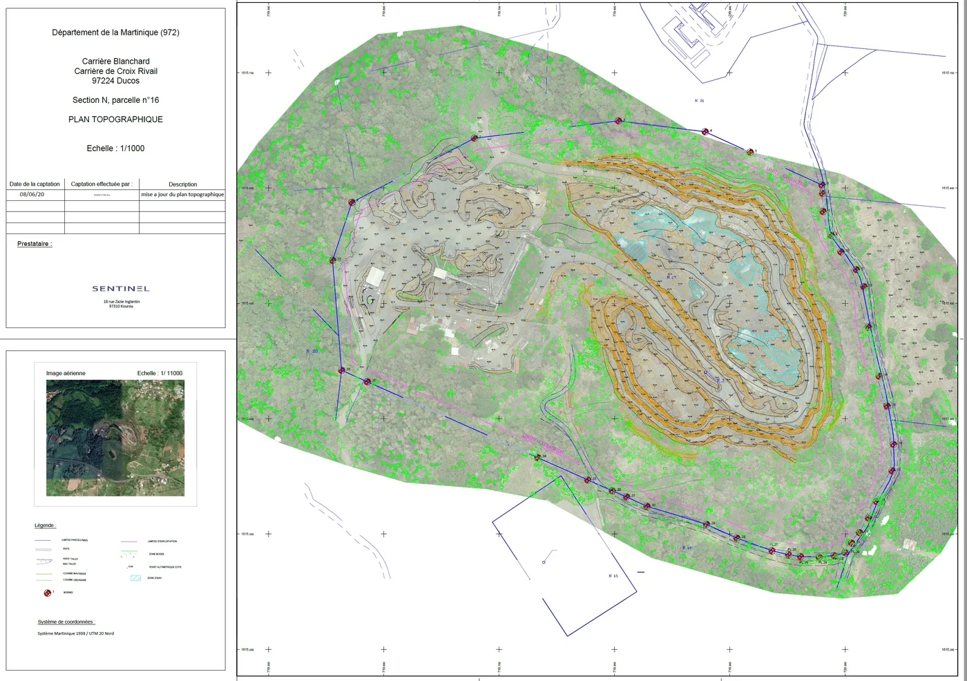
Surveying and LiDAR
Topographic surveys, LiDAR, photogrammetry
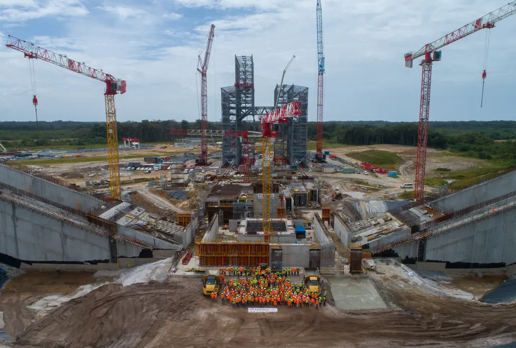
Construction monitoring
Progress, quantities, time-lapses
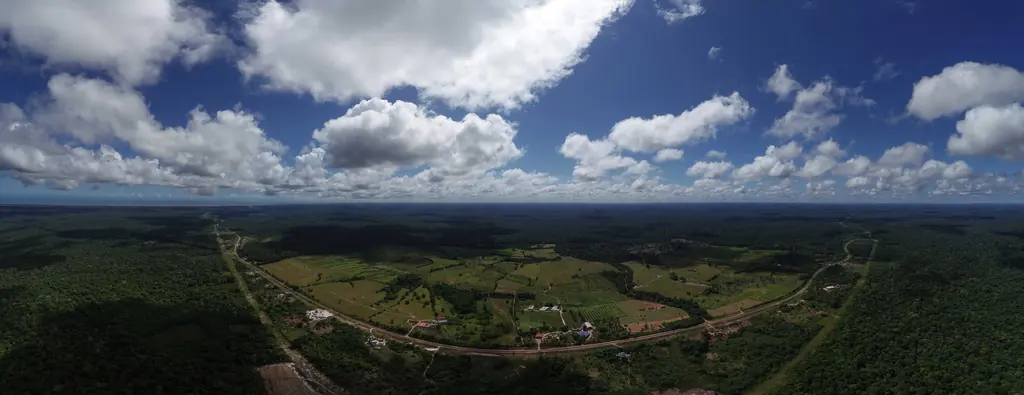
Film and 360° tours
Films, aerial photos, virtual tours
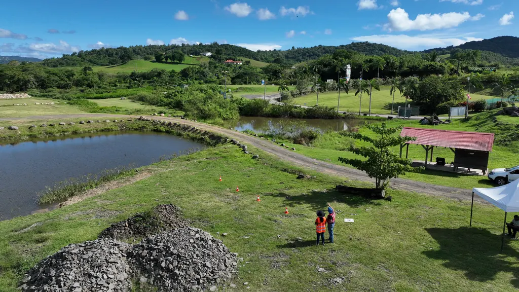
Courses and practical exams
Drone piloting, photogrammetry, STS scenarios
68 missions in Martinique since 2023
Orthophoto of 12.5 hectares of the Saint-Pierre coastline
On 21 September 2026, from the Fort district to the sub-prefecture: twelve ground targets, 1,305 images taken at 65 m, orthophoto delivered at 2 and 5 cm the next day, 1.78 cm planimetric accuracy.
- 12.5 ha
- 1.78 cm accuracy
Photogrammetry of three industrial sites for photovoltaic projects
Three captures on 24 September 2026, digital products delivered on the 29th; plans with axes and spacings checked against the panel layout, finalised on the 30th.
Read the articleTwenty buildings surveyed, including fourteen housing estates owned by one landlord
Order of 23 July 2026: fourteen housing estates in Fort-de-France, Le Lamentin, Ducos and the south of Martinique, and six other buildings, three in Martinique and three in French Guiana, surveyed for rooftop solar projects; files delivered in August and September.
- 20 buildings
Monitoring of the GRESS 2 & 3 wind farm works resumed
Order from Albioma on 1 June 2026, after it took over the project: visits to Macouba on 21 July, the day set for unloading two blades at Fond Potiche, to the Grand Port of Fort-de-France on 23 July, then to Macouba on 1 and 18 August.
Four-day photogrammetry course
From 30 June to 3 July 2026, for the two staff of the authority’s GIS department: photogrammetry plus the A2 subcategory of the Open category, added at the department’s request.
- 2 staff
- 4 days
Photos and 3D model of a school complex for an architecture competition
Oblique flights at 80 m with terrain following and 80% overlap; photos and 3D model of the future school site delivered to the practice in July 2026.
Thermal survey of the Bellefontaine plant, beneath medium-voltage lines
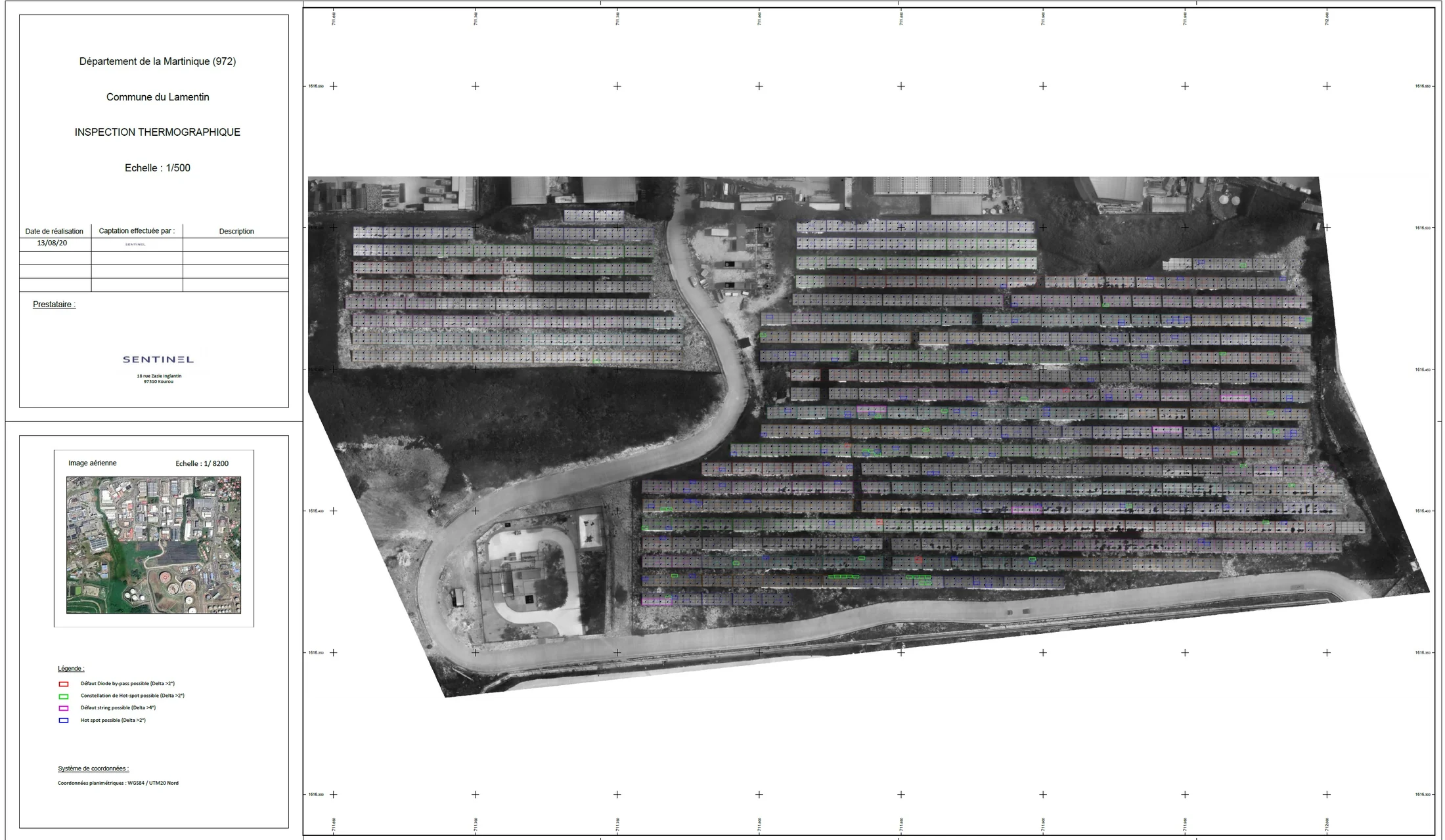
Medium-voltage lines on 27 m pylons above the plant: LiDAR survey on 17 July 2026 for the terrain model, then infrared and visible flights on 20 July, at 30 m above the terrain; 8,996 panels checked; results delivered and published on Sentinel Cloud on 30 July.
- 8 996 panels
- 30 m above the terrain
34 rooftop solar plants thermally surveyed in two weeks
From 10 to 23 June 2026, 32 plants in Martinique and 2 in French Guiana, in rounds of no more than four neighbouring sites: overview photos and thermal images for the installer, acquisitions for its analysis platform; mission closed on 24 June.
- 34 plants
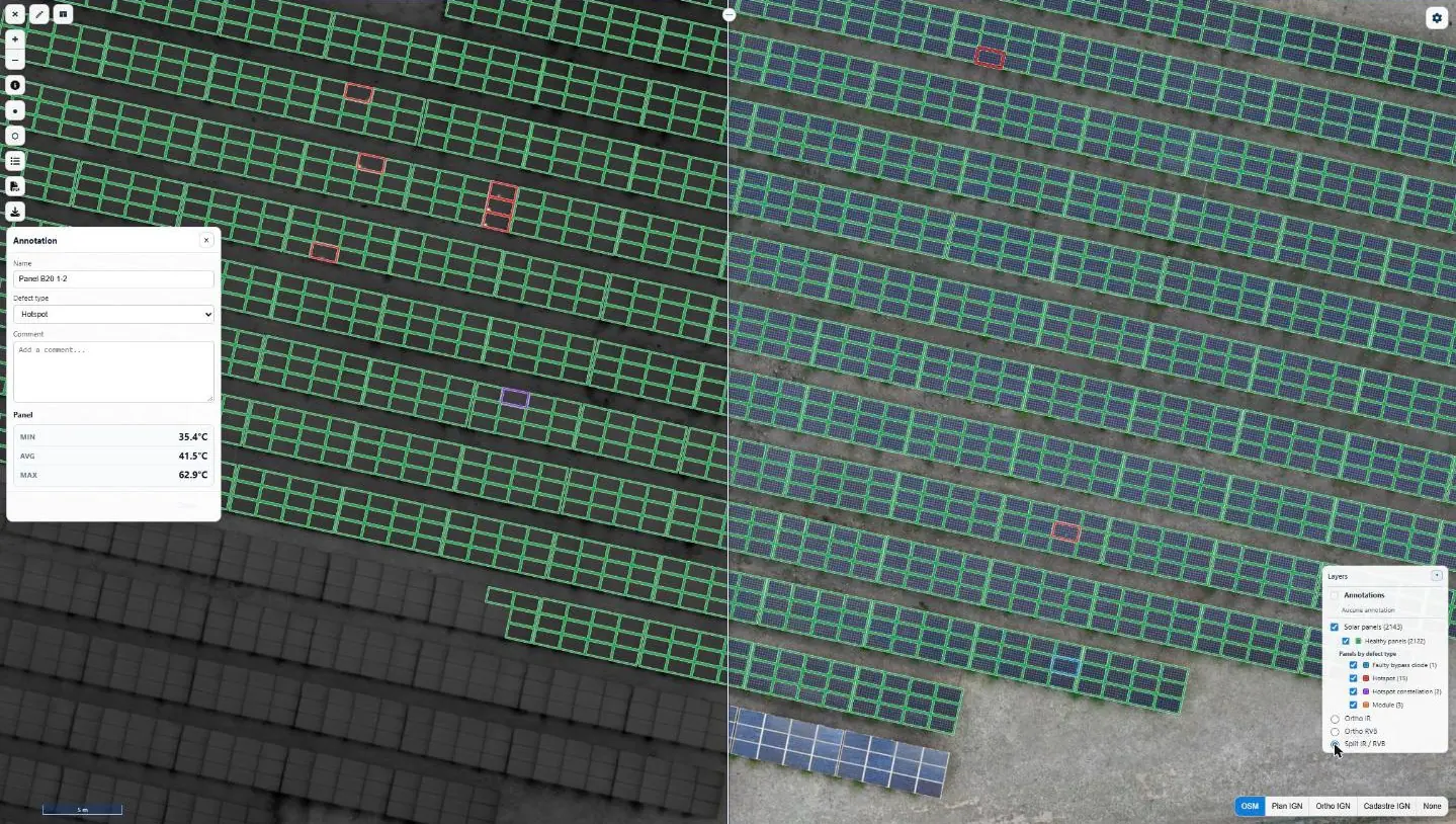
Thermal survey of the Le Carbet solar plant
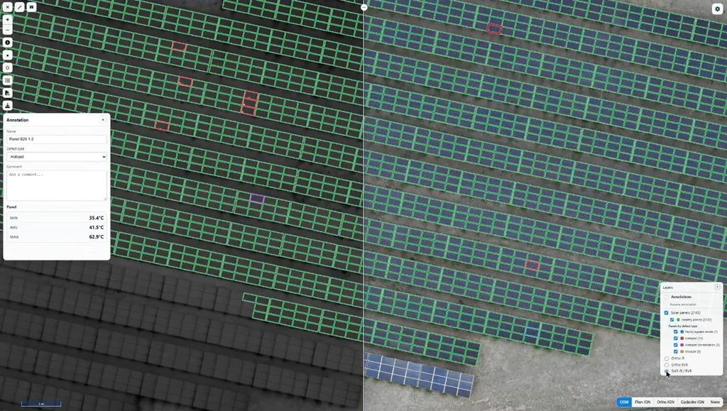
On 17 June 2026, visible flights at 1.5 cm and infrared at 3 cm per pixel under 1,128 W/m²: 2,143 panels checked one by one; report delivered on 18 June.
- 2 143 panels
- 3 cm per pixel in infrared
Photogrammetry of Schœlcher town centre
Flights on 7 May 2026; tiled 3D model in Cesium 3D Tiles format delivered on 13 May, high-definition version on 18 May.
High-resolution LiDAR and photogrammetry survey of a plot
LiDAR and high-resolution photogrammetry of a one-hectare plot
10,282 m² surveyed for a civil-works contractor.
Mission locations
Each point links to the mission in the log; each location has its own page.
In the field

Projects
Eleven solar plants in 2026: 33,333 panels checked one by one
June to September 2026: eleven plants surveyed by thermography for Genergies in Martinique, Guadeloupe and French Guiana: 33,333 panels checked one by one.
Martinique coastline: three precision surveys, from 1.78 to 3.72 cm
At Pointe des Sables in Le Vauclin and in Saint-Pierre for DEAL Martinique, at the mouth of the Prêcheur river for BRGM during the lahar crisis: three orthophotos whose accuracy was measured on independent targets, delivered between one and five days after the flights.
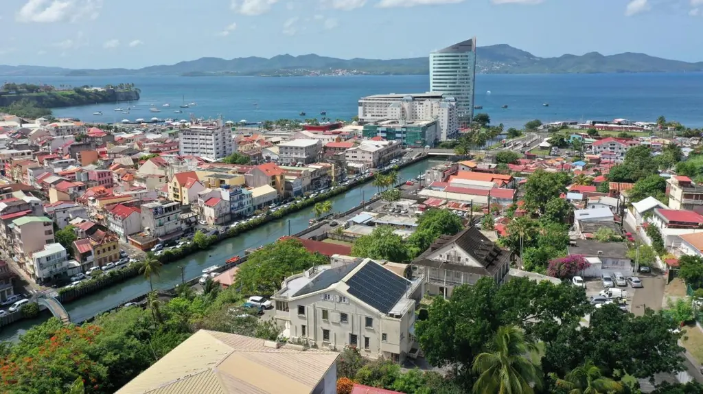
More than 1,000 rooftops surveyed since 2019 for a solar installer
Pre-installation roof surveys, 3D shading studies and thermal surveys of rooftop plants, across three territories since 2019.
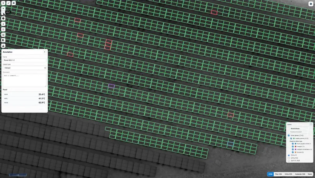
Bellefontaine: 8,996 panels surveyed by thermography under medium-voltage lines
A 4.9 MWp ground-mounted plant beneath medium-voltage lines: LiDAR survey, flights at 30 m above the terrain, 8,996 panels checked one by one.
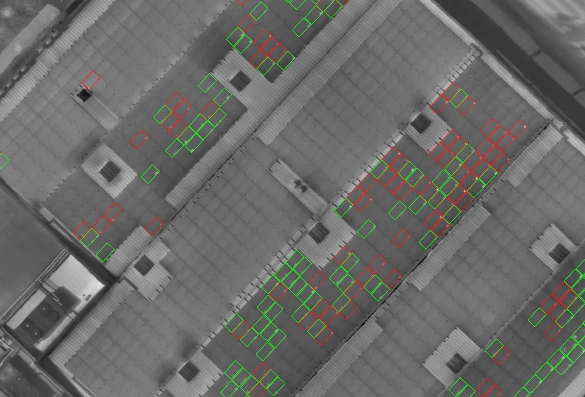
Urbasolar: five rooftop plants checked by thermography in Martinique and Guadeloupe
From March 2024 to April 2026: 4,082 modules in La Trinité, a string identification protocol, two roofs in Le Lamentin in a single morning, a campaign repeated in Jarry once the plant was producing, and a survey before rewiring.
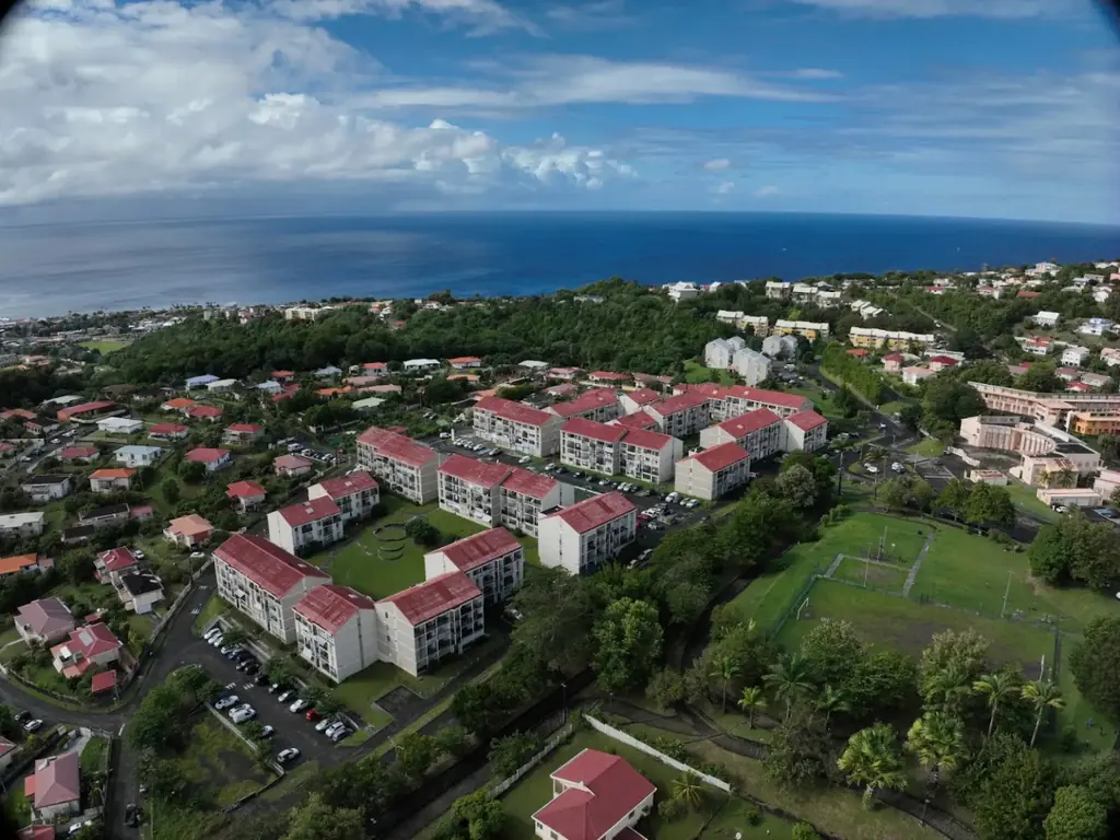
Le Robert, Ducos, Rivière-Salée: three social housing estates surveyed in 3D
From May 2024 to July 2025, for two social landlords, we surveyed three housing estates by drone: colourised point clouds split building by building, plans and roof inspection photos, delivered to the architects and engineering firms in the formats their software reads.
Your contact
MartiniqueDomaine de Château Gaillard
Route des Trois-Îlets
97229 Les Trois-Îlets
Martinique
Frequently asked questions
Do you carry out thermography of photovoltaic roofs?
Yes, it is the most frequent activity of the Martinique team: ground-mounted and rooftop plants, such as the 2,143 panels in Le Carbet and the 8,996 in Bellefontaine in 2026, with a panel-by-panel report and online access on Sentinel Cloud.
Do you also work in Guadeloupe and Saint-Martin?
Yes. In Guadeloupe, flights are carried out by our partner Antilles Drone or by our Martinique team, as for the eight plants diagnosed in August 2026; in Saint-Martin we surveyed a site in the port of Galisbay in 2024 and 2025, and the surroundings of Grand-Case aerodrome in April 2026.
Tell us about your project
Location, area or structure, expected deliverables and timing: with these details we can propose a method and a quote.
97310 Kourou
French Guiana
Route des Trois-Îlets
97229 Les Trois-Îlets
Martinique
20030-041 Rio de Janeiro – RJ
Brazil