Peti dam, fourth campaign: 6 new cracks out of 4,052 monitored since 2022
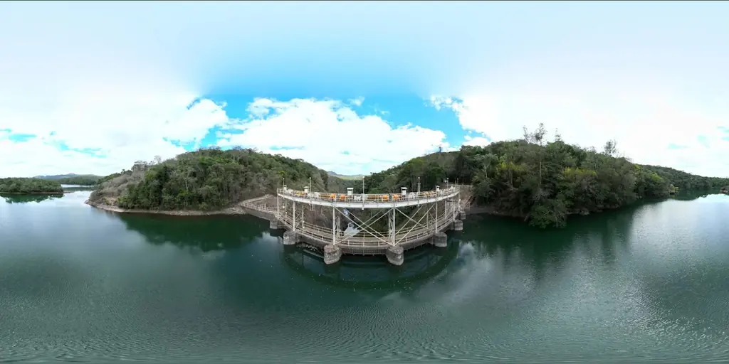
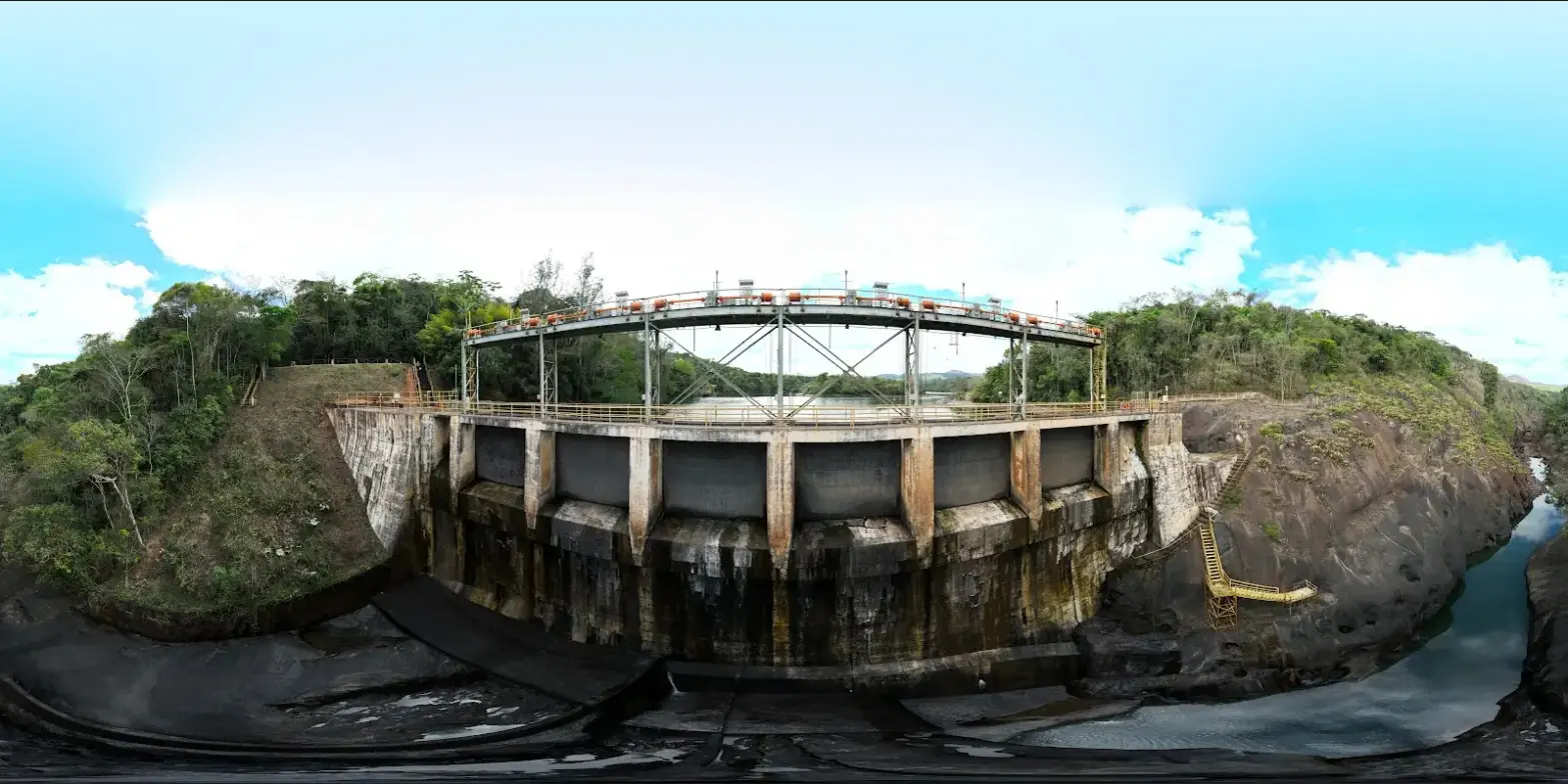
The Peti dam is a concrete arch built in 1944-1945 on the Santa Bárbara river, about a hundred kilometres from Belo Horizonte; it feeds a 9.4 MW Cemig plant. Its concrete is affected by expansive reactions, and the operator has its faces inspected by drone every year. We established the baseline of the downstream face in September 2022, then carried out a comparison campaign every year; the fourth took place from 22 to 24 September 2025.
The same method every year
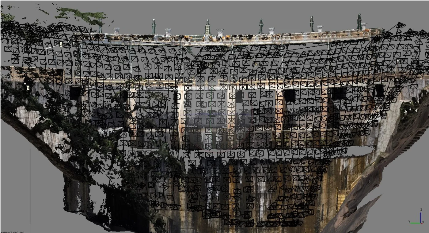
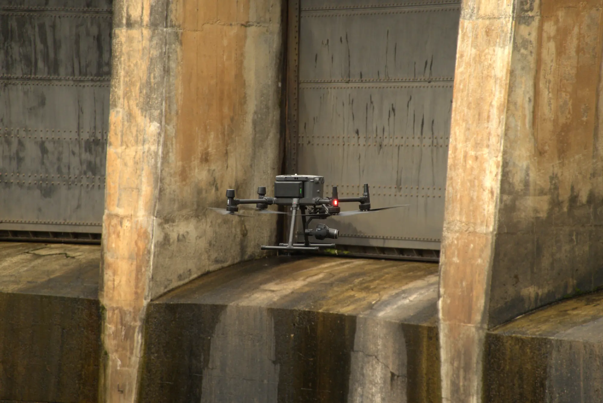
Two campaigns can only be compared if they superimpose exactly. Every year the GNSS base is set up on the same concrete benchmark on the left bank, and a first general flight produces the complete 3D model of the structure by late morning; the close-range flight plans are computed on this model. In 2025, a multirotor RTK drone carrying a 45-megapixel full-frame sensor covered about 85% of the downstream face less than 5 m away, with obstacle sensors set to 3 m; a compact RTK drone, flown manually, completed the hard-to-reach areas and the whole upstream face. In total: 21 flights, 2,037 photos, six hours in the air and 12.7 km flown.
The photos are reprojected onto the same surfaces as in previous years: a cylinder for the arch, planes for the side blocks. RTK positioning gives an absolute accuracy of a few centimetres; to superimpose cracks from one year to the next, the face orthophotos are also registered on control points identified on the face. In four working days of processing, the 2025 campaign produced seven orthophotos totalling 3.9 gigapixels, including the central block of the downstream face at 0.8 mm per pixel (95,256 × 33,223 pixels), the right-hand blocks at 0.9 mm, the upstream face at 1.2 mm and the crest at 1.5 cm, as well as a 3D model of the structure.
Two categories of cracks
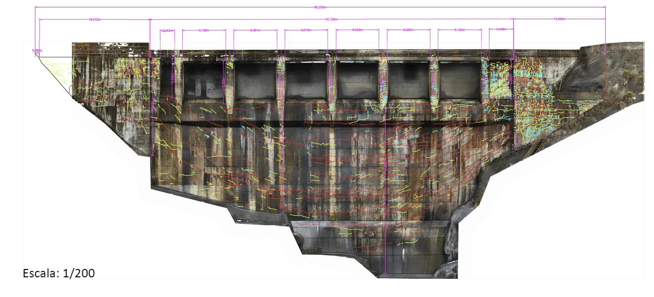
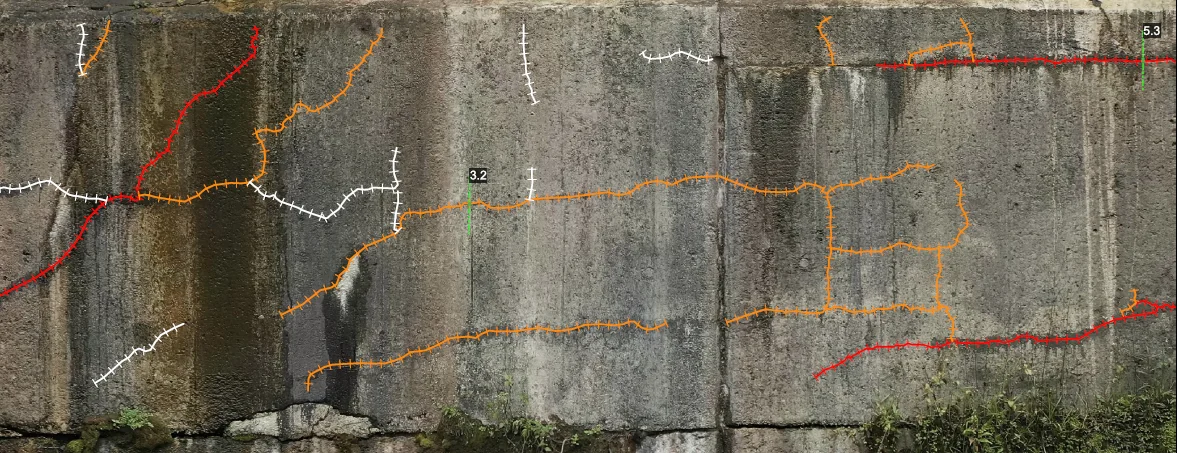
The 2022 baseline recorded 4,052 cracks with a cumulative length of 2,023 m, classified into three families by opening and length. Since 2023 we have drawn only two categories relative to the previous year: new or longer cracks, and cracks or sections that have become more visible. Opening measurements, limited by the pixel size, were judged too uncertain to serve as an indicator; appearance and lengthening are.
The downstream face is divided into 68 cells referenced by a letter and a number. A general plate flags the cells where a change was recorded, and each cell has its own comparison plate: 71 plates in 2025, three general and 68 detailed. This format was agreed with the operator’s engineers after the 2023 campaign.
What the series shows
The 2023 campaign had recorded 22 new or longer cracks and 54 more visible ones, the 2024 campaign 4 and 37 respectively. In 2025, 6 cracks are new or longer, totalling 4.474 m, and 45 have become more visible: 0.15% new cracks compared with the baseline.
The higher number of cracks that became visible is due to the shooting conditions: the face was exceptionally clean, the gates stayed closed and the surface dry, and ongoing works had cleared the left-hand part of the structure. The campaign report once again concludes that the downstream face is stable, with no significant change since monitoring began in 2022; the small differences from one year to the next are mostly due to lighting and surface condition.
Delivery
The deliverables follow the same folder structure every year: photos, orthophotos, point clouds and 3D model on one side, PDF plates and shapefiles of the two crack categories on the other, with a campaign report in Portuguese. The 2025 files were uploaded to the operator’s document system on 17 October 2025. In April, we had shown its engineers a demonstration of the Sentinel Cloud web interface built on the downstream-face data, which avoids downloading orthophotos of several gigabytes.