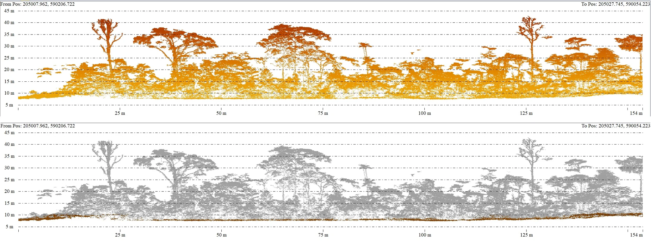
Grand-Case aerodrome: a LiDAR survey at 30 m beside an active runway
Grand-Case aerodrome serves the French side of Saint-Martin. Its operator, Edeis Aéroport Saint-Martin, is preparing an extension and wanted accurate ground data for a wooded, partly built-up area of about 8 hectares beside the runway. The specification called for a LiDAR survey, better suited than photogrammetry alone to ground under vegetation, and an orthophoto tied to the existing runway survey.
A runway that stays open
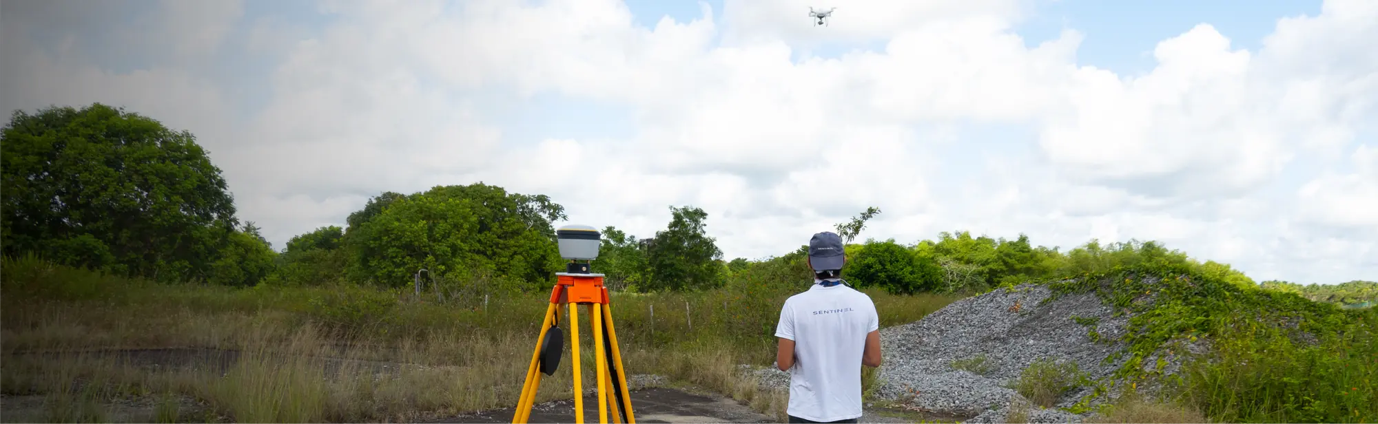
Flying beside an active runway takes two procedures. With the prefecture, we reduced the flight area to the strict minimum, which allowed a simple declaration; the receipt arrived on 10 April for flights from the 14th to the 16th. On the aviation side, the slot request was filed on 8 April on the CLEARANCE portal with the AFIS, the aerodrome flight information service. The agreement set the rules: 30 m above ground at most instead of the 50 m requested, flights of 30 minutes at most, interruptible at any moment, 3 hours in total, drone always in sight, contact with the AFIS before any activity and absolute priority to air traffic. Tilaya Drones, an operator based in Saint-Martin, supported us on site, in particular as airspace observer.
Three days in the field
On 13 April we measured five ground control points by RTK GNSS, two of them inside the aerodrome perimeter, with a pass issued by the operator; corrections came from a permanent station about 30 km away. On the 14th the photogrammetry and LiDAR flights were flown from outside the airfield, in the slots given by the AFIS. Overnight, pre-processing showed a height offset of about 10 cm on one of the two LiDAR flights: a long interruption in flight had made the inertial unit drift. An additional 40-minute LiDAR flight was made on the 15th, the last day of drone activity on site.
A drawing to put back in the right system
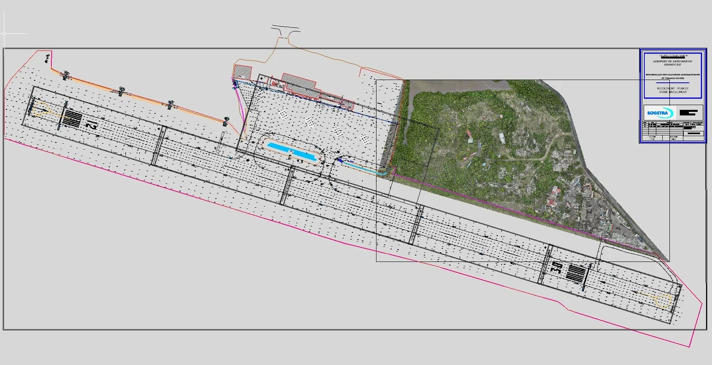
The runway drawing supplied by the client was not in the reference system now used in Saint-Martin. It was still in the historical Fort Marigot 1947 system (EPSG 2969), whereas the IGN standard is now RGAF09 (EPSG 5490). Once transformed, the drawing was still 0.91 m out in X and 0.47 m in Y, about 1 m in all: we registered it on the orthophoto by photo-interpretation. In height, differences with our survey reached 15 cm. Our heights are cross-checked against three sources, LiDAR, photogrammetry and the points measured on the ground; we therefore reported these differences to the client and asked which height datum the drawing had been produced in.
On 17 April we delivered the orthophoto at 3 cm per pixel, the LiDAR ground points at 2 m spacing in DWG format and the re-registered existing drawing, with the orthophoto and LiDAR points.
Saint-Martin, an island we know
This was not our first mission on the island. In 2021 we had processed by photogrammetry the images of an airport survey flown by a local operator. Since 2024 we have been following an Albioma project near Galisbay port: orthophoto in 2024, LiDAR in 2025, ground points for the earthworks in 2026. For Grand-Case as for the Galisbay LiDAR, the batteries, refused on aircraft, had to travel another way: this time by boat, from Martinique.