
Grand-Case aerodrome: LiDAR and a 3 cm orthophoto beside an active runway
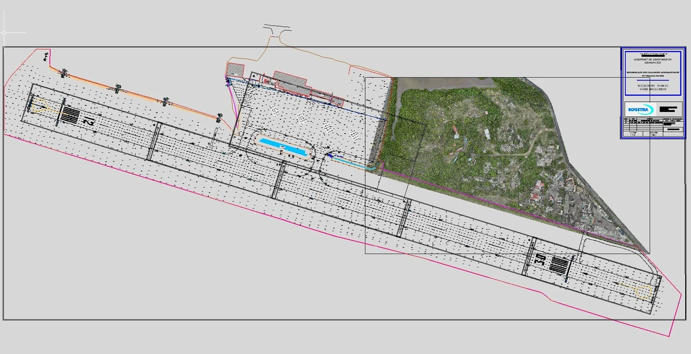
In April 2026 we surveyed by LiDAR, for the aerodrome operator, a wooded area of about 8 hectares beside the runway, at no more than 30 m above ground and in coordination with the AFIS, then re-registered the existing airfield drawing in the current reference system.
Background
Grand-Case aerodrome (TFFG) serves the French side of Saint-Martin. Its operator, Edeis Aéroport Saint-Martin, is preparing an extension and wanted a survey of the wooded, partly built-up area beside the runway, with an orthophoto tied to the existing runway survey. The client asked for LiDAR, better suited than photogrammetry alone to ground covered by vegetation. We already knew the airfield: in 2021 we had processed by photogrammetry the images of an airport survey flown by a local operator.
What we did
The runway stayed open throughout the operation. We reduced the flight area to the strict minimum, which allowed a simple declaration to the prefecture, and obtained through the CLEARANCE portal an AFIS agreement limited to 30 m above ground, instead of the 50 m requested: flights of 30 minutes at most, interruptible at any moment, 3 hours in total, drone always in sight. On 13 April 2026, five ground control points were measured by RTK GNSS, two of them inside the aerodrome perimeter. On the 14th, the photogrammetry and LiDAR flights were flown from outside the airfield, with Tilaya Drones acting as airspace observer. Overnight pre-processing showed a height offset of about 10 cm on one of the two LiDAR flights, caused by a long interruption in flight: an additional 40-minute flight was made on the 15th. The drawing supplied by the client was in the former Fort Marigot 1947 system; once transformed into RGAF09 it was still about 1 m out, which we corrected on the orthophoto. Height differences with that drawing, up to 15 cm, were reported to the client: our heights are checked against three sources, LiDAR, photogrammetry and the ground points.
In the mission log
LiDAR survey beside the runway at Grand-Case aerodrome
Wooded area of about 8 hectares beside the runway: control points on 13 April 2026, photogrammetry and LiDAR flights on the 14th and 15th at no more than 30 m, in coordination with the AFIS; 3 cm orthophoto, ground points at 2 m spacing and existing drawing re-registered in RGAF09 delivered on 17 April.
Read the article
Other projects
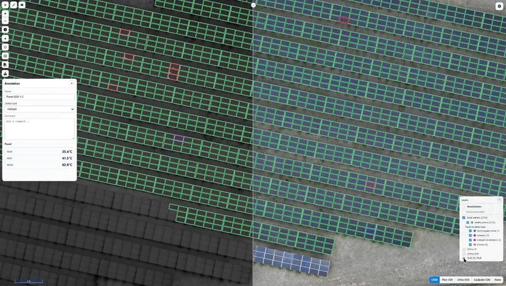
Eleven solar plants in 2026: 33,333 panels checked one by one
June to September 2026: eleven plants surveyed by thermography for Genergies in Martinique, Guadeloupe and French Guiana: 33,333 panels checked one by one.
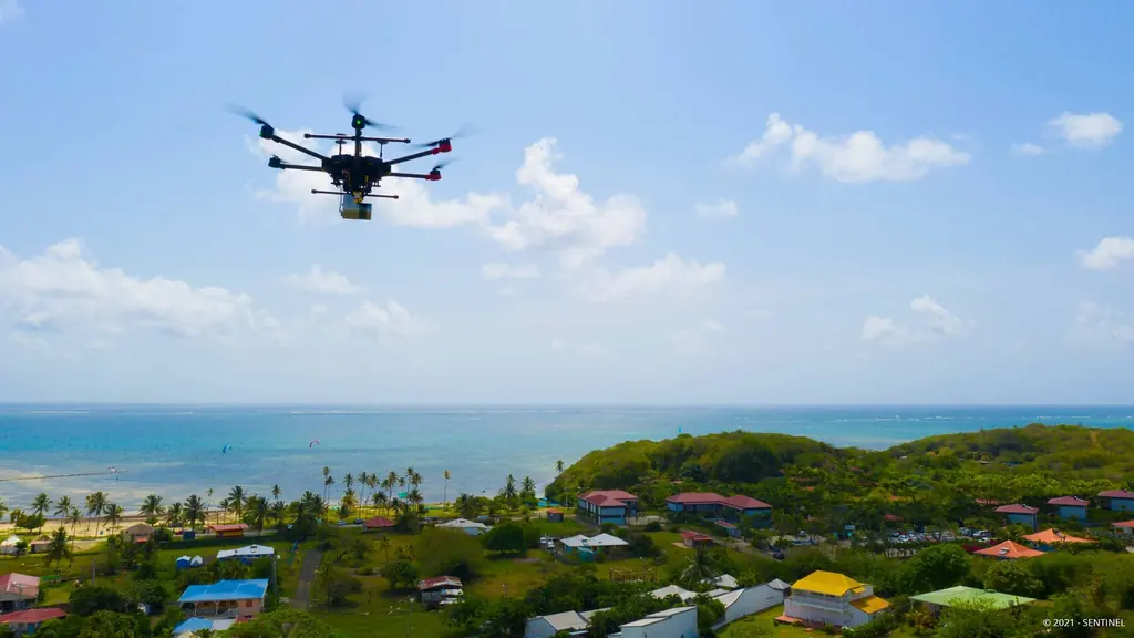
Martinique coastline: three precision surveys, from 1.78 to 3.72 cm
At Pointe des Sables in Le Vauclin and in Saint-Pierre for DEAL Martinique, at the mouth of the Prêcheur river for BRGM during the lahar crisis: three orthophotos whose accuracy was measured on independent targets, delivered between one and five days after the flights.
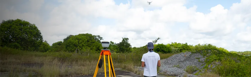
Jarry-Houëlbourg: 327 hectares of wetland in a 2.36 cm orthophoto
For the Conservatoire du littoral, the orthophoto and surface model of the Jarry-Houëlbourg wetland and its edge with the business district: 15,445 images taken over one weekend in February 2026, 3.64 cm root-mean-square error on six check points.
Tell us about your project
Location, area or structure, expected deliverables and timing: with these details we can propose a method and a quote.
97310 Kourou
French Guiana
Route des Trois-Îlets
97229 Les Trois-Îlets
Martinique
20030-041 Rio de Janeiro – RJ
Brazil