
A 7.7 km canal surveyed by LiDAR from a pirogue, in the Kaw marshes
The Roy canal links the Kaw marshes to the Approuague river, south-east of Cayenne. To maintain it, the sea, coast and rivers directorate of DGTM Guyane wanted to know the ground relief along the canal, beneath dense vegetation. We worked from a boat provided by DGTM: on every flight the LiDAR drone took off from the boat and landed back on it.
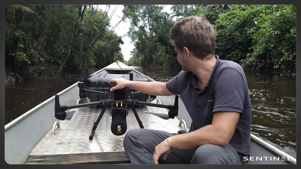
Flying over a nature reserve
The canal crosses the Kaw-Roura marshes national nature reserve, whose founding decree prohibits disturbing wildlife. The order allowed one month to obtain the agreement of the prefecture and of the reserve manager. The waiver request, filed on 5 June 2024, received a favourable opinion from the reserve managers, then from the regional scientific council for natural heritage on 13 June. The prefectoral order, signed on 21 June, sixteen days after the request, authorised the survey over the 7.7 km of the canal and 50 m either side of each bank, from 25 June to 25 July 2024. It required the reserve’s curator to be involved and to receive the data.
What LiDAR sees beneath the vegetation
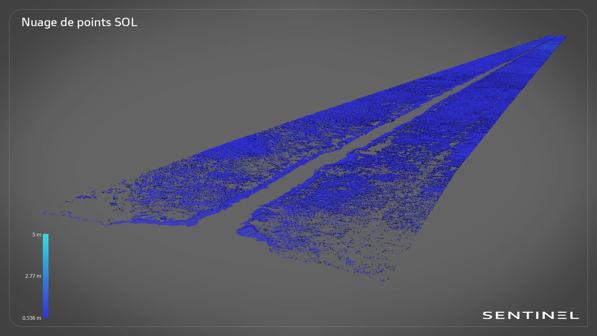
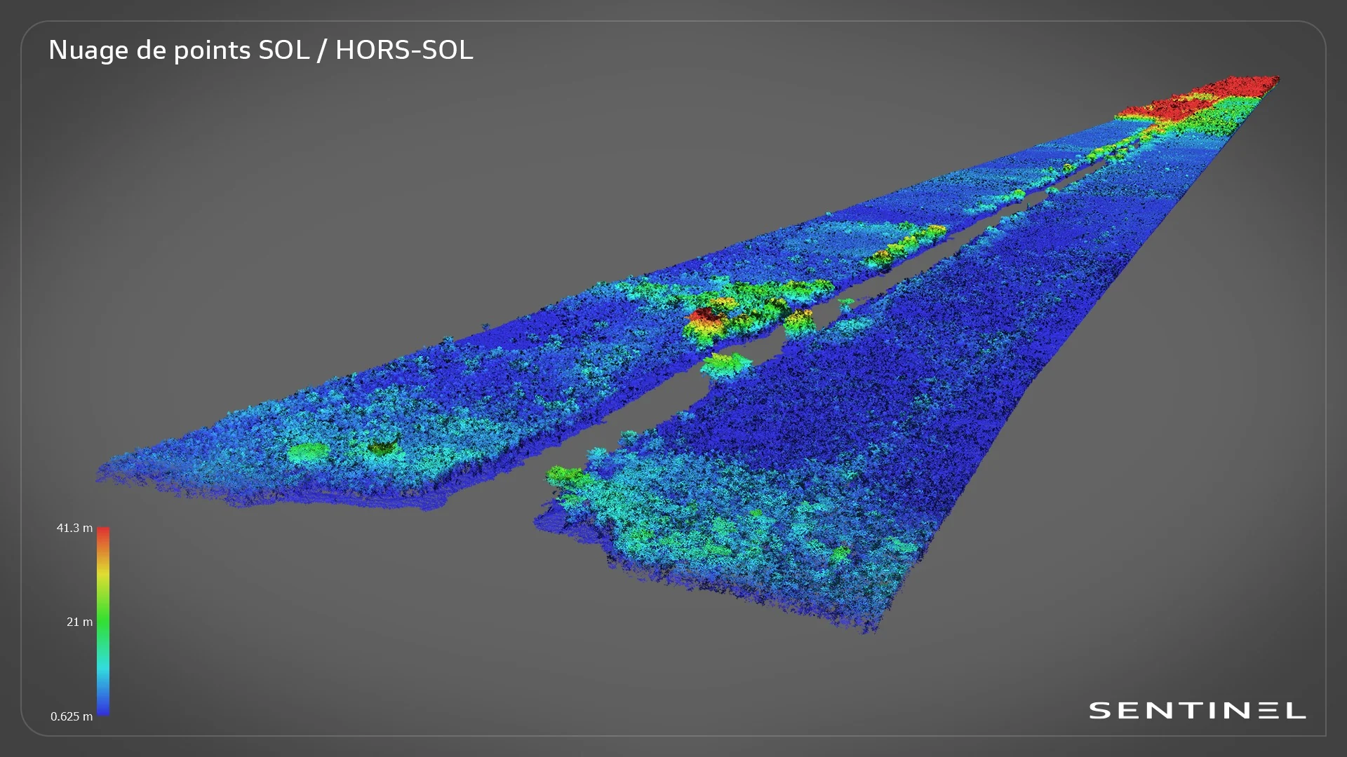
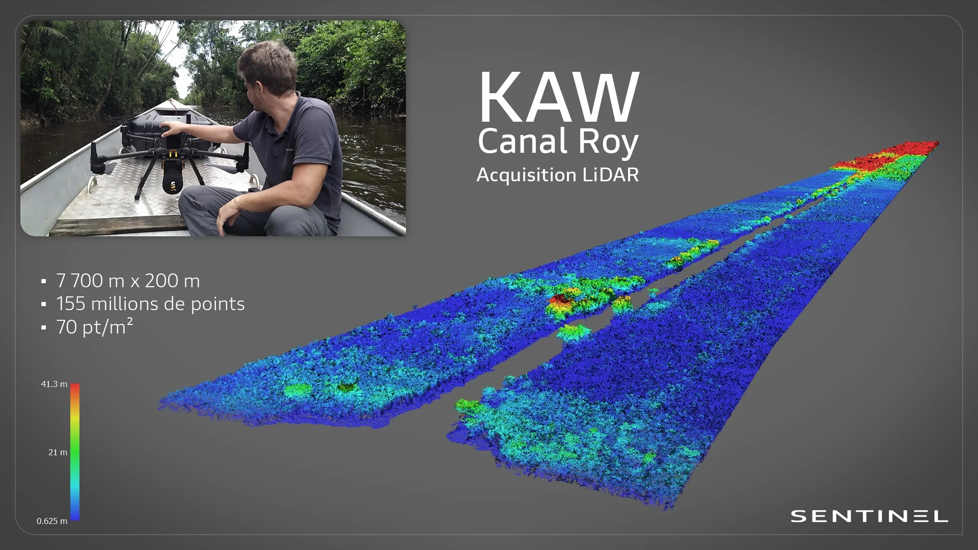
Under dense vegetation, photogrammetry only reconstructs the canopy. LiDAR sends laser pulses, some of which reach the ground between the leaves. The order called for at least 70 points per square metre: the resulting cloud holds 155 million points over a corridor 7,700 m long and 200 m wide, and classification separated ground from vegetation. The drone trajectories were computed in PPK from a GNSS base set up on the ground.
Part of the pulses is stopped by the foliage, hence the minimum density set by the order: the denser the cloud, the more ground points remain beneath the canopy. The surface model follows the top of the vegetation and the banks; the terrain model, computed from the ground points alone, gives the relief beneath the canopy. The difference between the two shows the height of the vegetation lining the canal.
The deliverables
Two remote pilots carried out the acquisition at the end of June. The 1 m digital terrain and surface models were delivered on 8 July as GeoTIFF, the cloud classified as ground and above-ground on 9 July, in RCS format readable in CAD software, then two 10 cm terrain models of reference areas on 11 July 2024; on these areas the 10 cm model allows a detailed look at the terrain. All files are in the RGFG95 / UTM 22N system with NGG77 heights. This is the topographic base DGTM needed to maintain the canal.


