
Galisbay: 30.5 hectares by photogrammetry, then the ground by LiDAR for the earthworks
On a site next to Galisbay port, for an Albioma project: orthophoto and virtual tour in November 2024, LiDAR survey in March 2025, then in February 2026 the 15 cm ground points requested by the earthworks designer.
Background
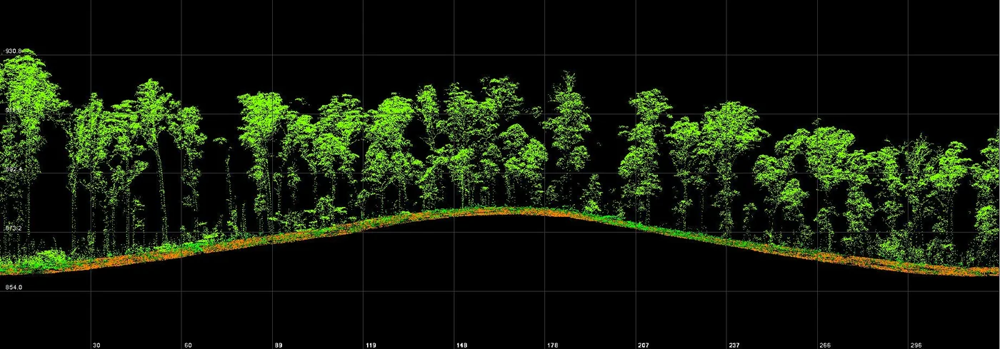
The site is a hill covered with dense vegetation, between the road and the sea, next to Galisbay port in Saint-Martin. Albioma is preparing a project there and needed a map of the ground for its first studies, then reliable relief for the design of the earthworks and roads. The area lies within the surroundings of Grand-Case aerodrome: each campaign required a prefecture receipt and an agreement request through the CLEARANCE portal.
What we did
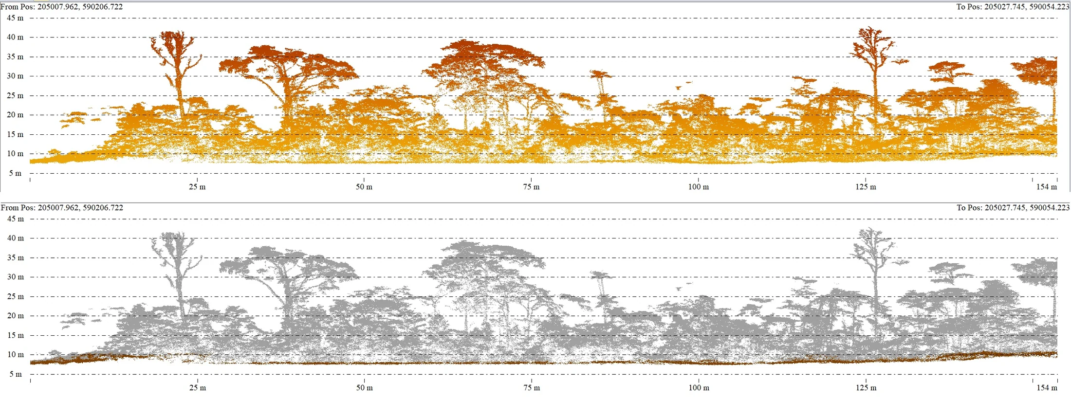
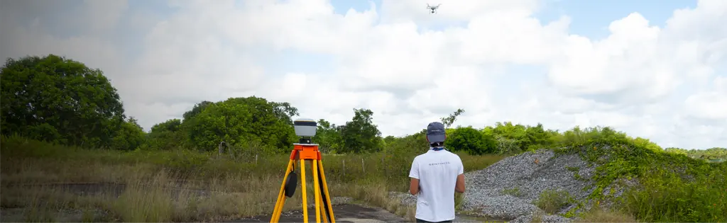
In November 2024 we surveyed 30.5 hectares by photogrammetry, with a flight plan computed for 1.5 cm per pixel and ground control in RGAF09; the orthophoto, in three tiles, and a virtual tour were published online. Under vegetation this dense, the images capture the tops of the trees: contour lines derived from them describe the canopy. In March 2025 we came back with a LiDAR, whose batteries are not accepted on aircraft. On 18 and 19 March the project’s priority area, without the port, was surveyed: digital terrain and surface models at 15 cm, ground and above-ground point clouds, DWG drawings. In February 2026 the roads and utilities designer noticed height differences between the two campaigns: his calculations relied on the 2024 contours, interpolated between one another, with aberrant results where the road meets the vegetation. We supplied him with the LiDAR ground points at 15 cm spacing over the two 8 m strips he wanted to check, along the road verge and the outer edge of the roundabout.
3 related missions in the log
LiDAR ground points at 15 cm spacing for the earthworks studies
The roads and utilities designer noticed height differences between the 2024 and 2025 surveys: his calculations relied on the 2024 photogrammetric contours, which follow the canopy in wooded areas. On 12 February 2026, delivery of the LiDAR ground points over his two 8 m check strips.
Read the articleLiDAR survey of a project site near Galisbay port
On 18 and 19 March 2025, over the project’s priority area, without the port, the batteries having been shipped without using aircraft. Deliverables from 31 March to 3 April: digital terrain and surface models at 15 cm, ground and above-ground point clouds, DWG drawings of the ground points.
- 15 cm model spacing
Photogrammetry of 30.5 hectares near Galisbay port
Agreement request to Grand-Case aerodrome through the CLEARANCE portal, 2 h 06 flight plan computed for 1.5 cm per pixel, ground control in RGAF09; orthophoto in three tiles and virtual tour published online.
- 30,5 ha
Gallery
Other projects
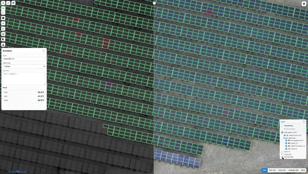
Eleven solar plants in 2026: 33,333 panels checked one by one
June to September 2026: eleven plants surveyed by thermography for Genergies in Martinique, Guadeloupe and French Guiana: 33,333 panels checked one by one.
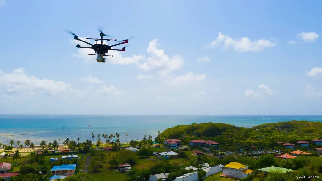
Martinique coastline: three precision surveys, from 1.78 to 3.72 cm
At Pointe des Sables in Le Vauclin and in Saint-Pierre for DEAL Martinique, at the mouth of the Prêcheur river for BRGM during the lahar crisis: three orthophotos whose accuracy was measured on independent targets, delivered between one and five days after the flights.
Jarry-Houëlbourg: 327 hectares of wetland in a 2.36 cm orthophoto
For the Conservatoire du littoral, the orthophoto and surface model of the Jarry-Houëlbourg wetland and its edge with the business district: 15,445 images taken over one weekend in February 2026, 3.64 cm root-mean-square error on six check points.
Tell us about your project
Location, area or structure, expected deliverables and timing: with these details we can propose a method and a quote.
97310 Kourou
French Guiana
Route des Trois-Îlets
97229 Les Trois-Îlets
Martinique
20030-041 Rio de Janeiro – RJ
Brazil