
- Home
- French Guiana
Drone services in French Guiana: inspection, thermography, LiDAR and site monitoring
Sentinel has been based in Kourou since 2015. We work across the whole territory, from the coast to the river communities, with the authorisations specific to French Guiana: the Cayenne control zone, the Space Centre restricted areas and specific-category flights.

Our services on site
Towns and sites covered: Kourou, Cayenne, Matoury, Macouria, Sinnamary, Mana, Saint-Laurent-du-Maroni, Saint-Georges, Maripasoula, Grand-Santi, Régina, Roura, Kaw, Petit-Saut.
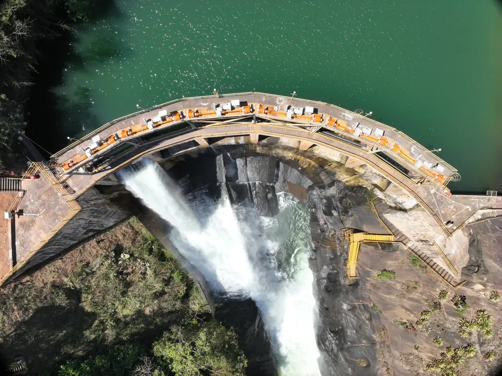
Structural inspection
Dams, bridges, façades, towers and roofs
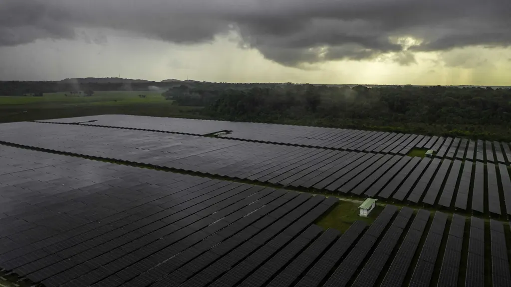
Thermography
Solar plants, buildings, industrial sites
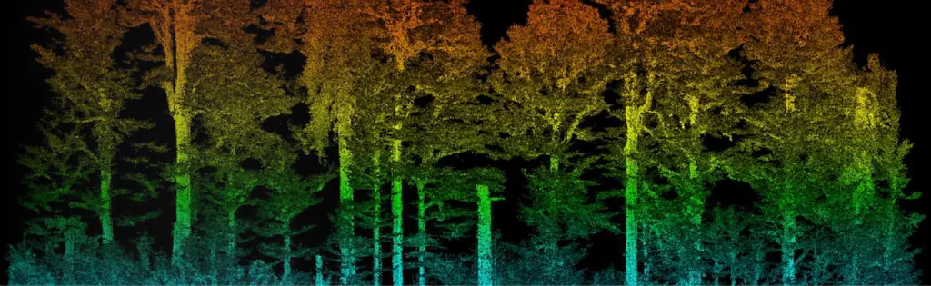
Surveying and LiDAR
Topographic surveys, LiDAR, photogrammetry
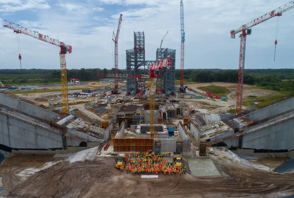
Construction monitoring
Progress, quantities, time-lapses
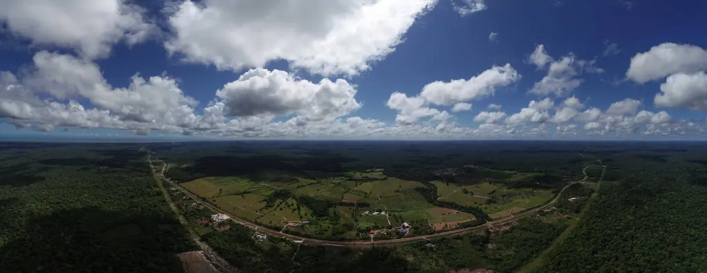
Film and 360° tours
Films, aerial photos, virtual tours
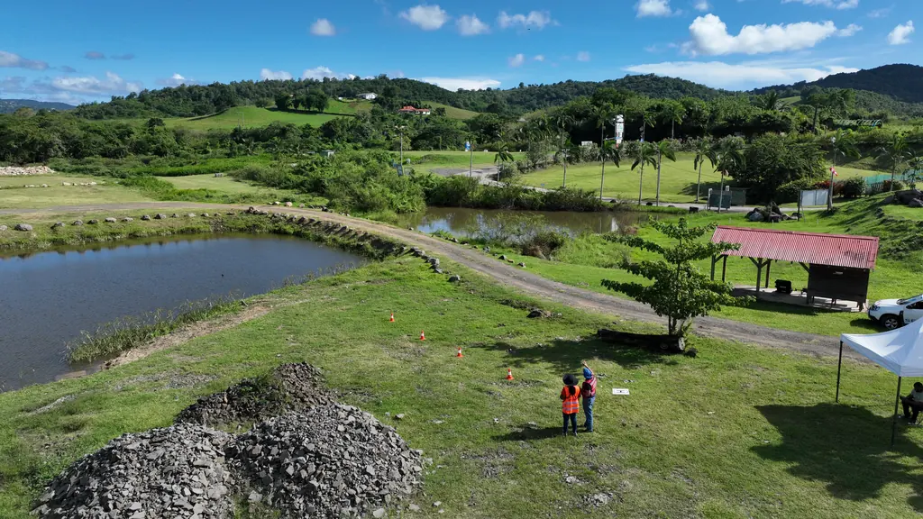
Courses and practical exams
Drone piloting, photogrammetry, STS scenarios
161 missions in French Guiana since 2023
Time-lapse and filming at the Sainte-Anne hybrid plant
Time-lapse unit installed for the duration of the hybrid plant construction, first series of shots on 7 October 2026, after footage of the site in October 2025.
Photo coverage of a water tower and a drinking-water intake
On 12 October 2026, the water tower under construction in Montsinéry-Tonnégrande; on the 15th, the Comté intake in Roura: pumping station, floating intake and surroundings. Photos delivered the same day each time, as JPG and RAW.
Photogrammetric inspection of launch complex structures
2026 orthophoto campaign: eight sectors and 6,545 hectares
Eight perimeters and 6,545 hectares in Cayenne, Kourou, Macouria, Matoury and Saint-Laurent-du-Maroni, ordered on 2 October 2026, with 10 cm orthophotos required by the specifications. First sector delivered, Sud-Bourg in Matoury (147 ha): four flights on 16 October, 1,909 photos at 3.88 cm per pixel, 3.7 cm planimetric error on five independent check points, orthophotos and reports delivered on 19 October.
- 6 545 ha
- 8 sectors
- 3,7 cm check-point error
Trial analysis of the submerged trees of the Petit-Saut lake
A 3 ha test plot chosen by the operator to assess the submerged timber resource by drone; mission scheduled for 22 October 2026.
Corporate film for the Petit-Saut sawmill
Shoots from January to August 2026, from the lake to the sawmill output; 40-second short version in September, full film delivered on 14 October 2026.
Read the articleSecond LiDAR and photogrammetric survey of the Macouria solar plant site
On 2 October 2026, after topsoil stripping: 8.78 hectares, 517 points per m², 2.97 cm vertical error for LiDAR and 3.07 cm horizontal error for the orthophoto on five check points; deliverables online on 6 October.
- 517 points per m²
- 2,97 cm vertical error
First LiDAR and photogrammetric survey of the Macouria solar plant site
On 1 September 2026, after clearing: 9 hectares, sixteen targets including ten check points, 1.95 cm vertical error for LiDAR and 2.40 cm horizontal error for the orthophoto; delivered on 3 September, vectorised power lines in DWG on the 14th.
- 1,95 cm vertical error
- 16 targets
Erosion monitoring of the Canal de l’Ouest and Bois Chaudat lake
First of eight campaigns scheduled up to February 2028: flight on 15 September 2026 at low tide, 12 mm orthophoto, mud islets in the northern part of the lake mapped at 22 mm and 34 photos taken from fixed viewpoints; delivered on 17 September, with three Sentinel Cloud accounts.
- 12 mm/px
- 34 reference photos
Survey of 2.8 km of the Fouillée creek
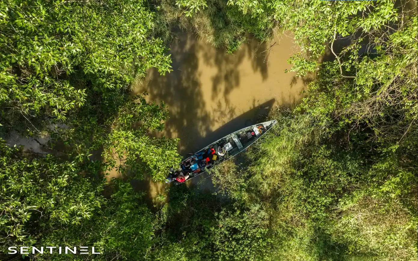
On 10 September 2026, from the roundabout and then by dugout canoe down to the mouth: 15 mm orthophoto of a 50 m strip on either side of the axis, plan of debris jams and bank access points, video of the stretch; delivered on 15 September with twelve months of online access.
- 2,8 km
Thermal survey of a 1,152 kWp plant on three roofs in Matoury
Purchase order received on 10 September 2026, flights on the 17th over the roofs of three commercial buildings in the Larivot area: 3,523 panels checked; deliverables and Sentinel Cloud access on the 21st.
- 3 523 panels
- 3 roofs
One-day individual remote course: Open category and photogrammetry
On 24 September 2026 by video call: Open category rules, daylight flying hours in French Guiana, airspace and aeronautical information, flight areas drawn in Google Earth Pro, then automatic flight plans in the afternoon.
Mission locations
Each point links to the mission in the log; each location has its own page.
In the field
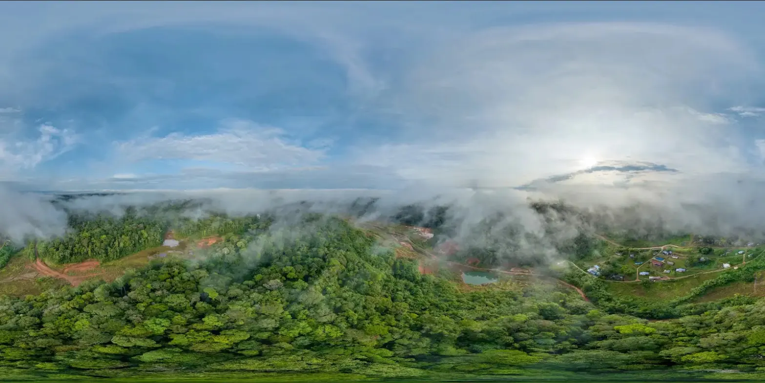
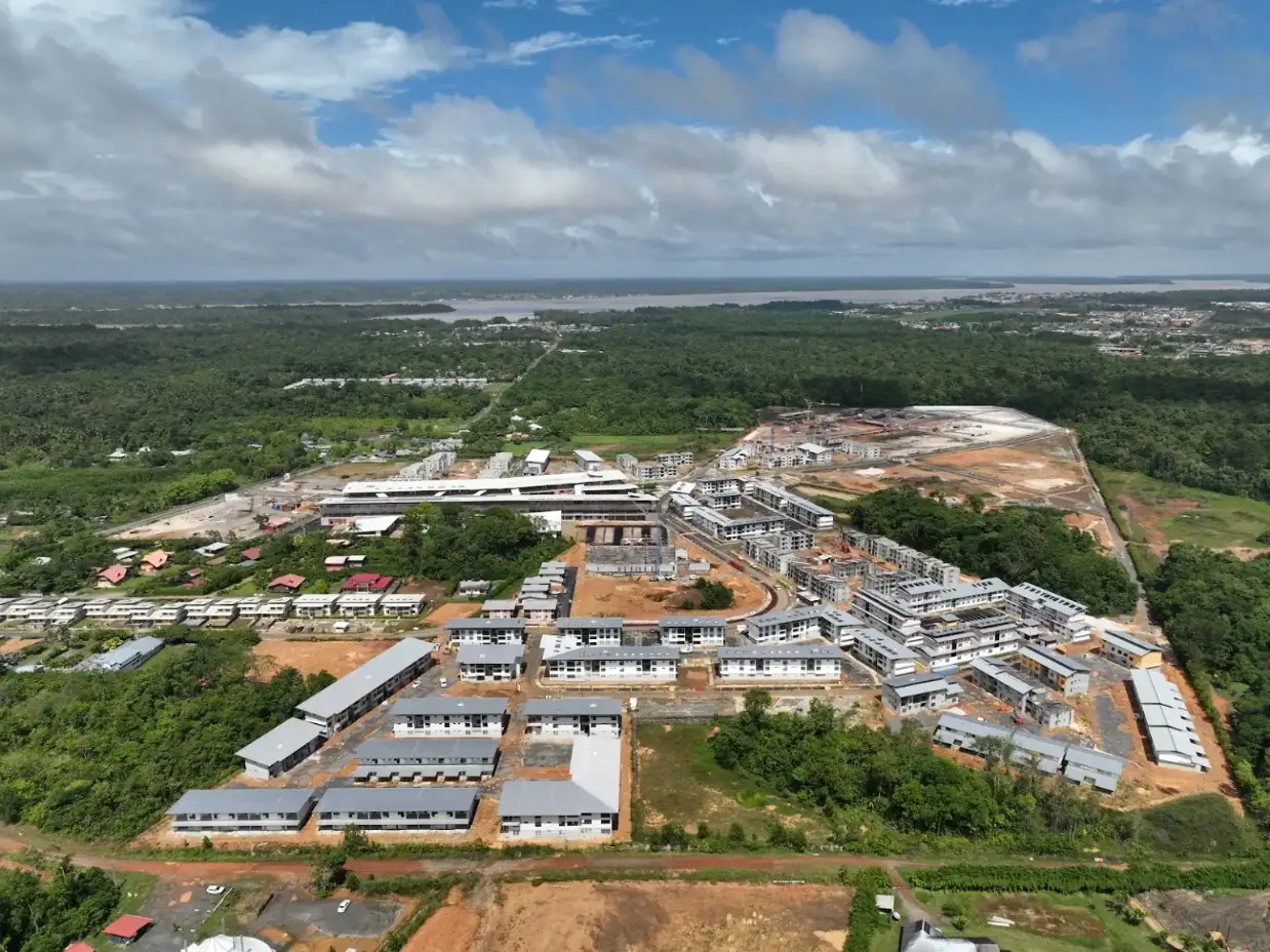
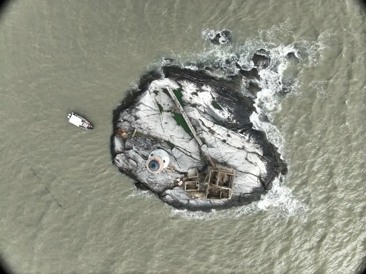
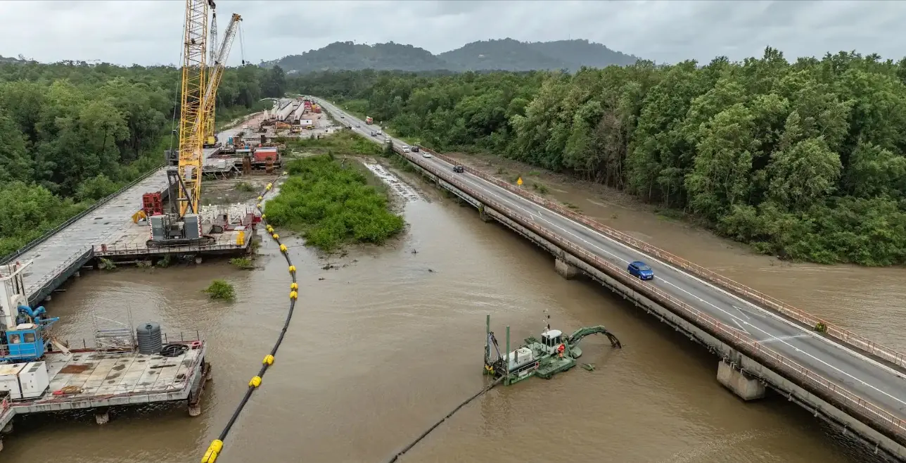
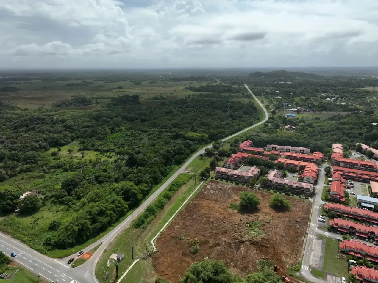
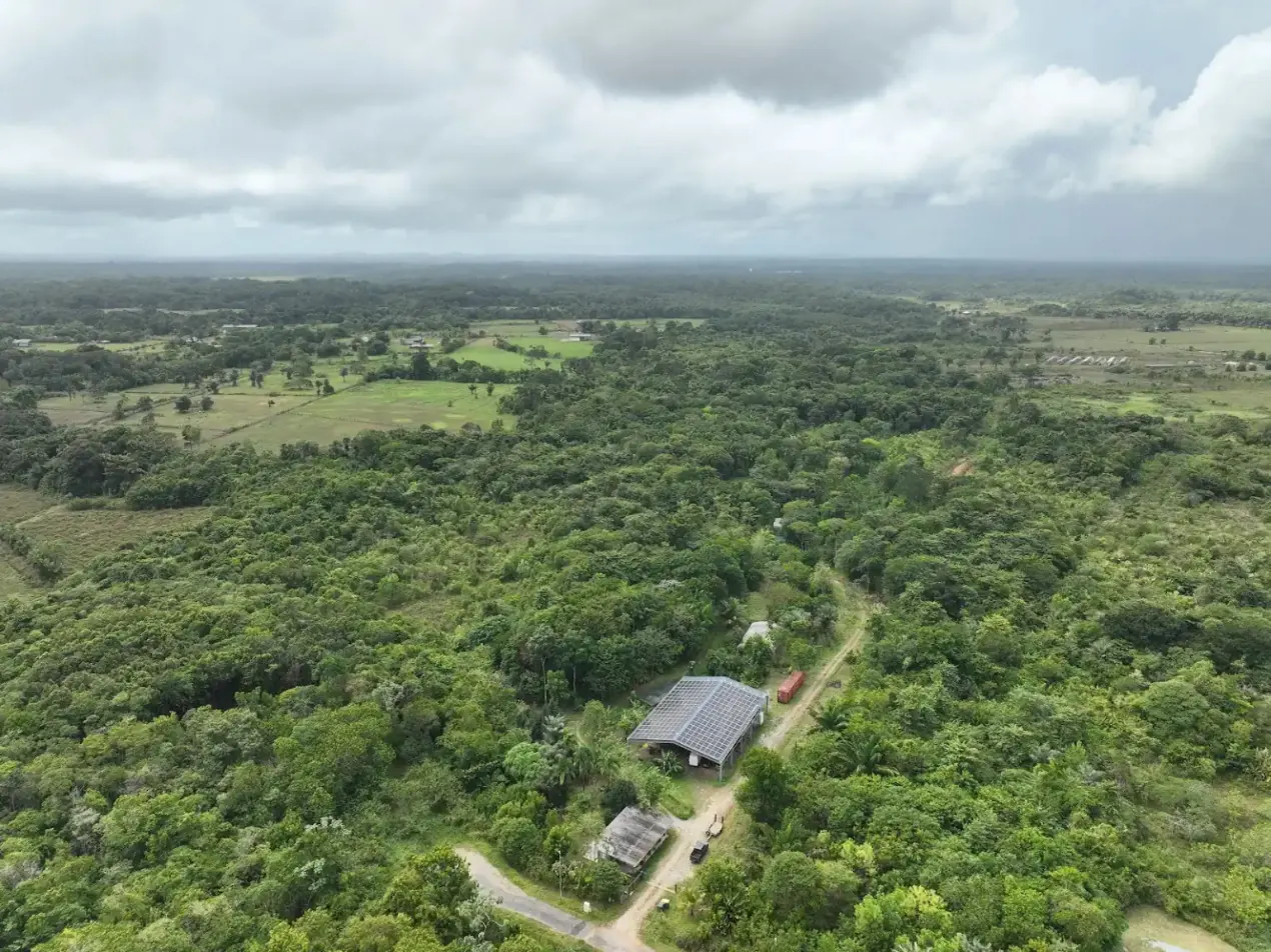
Projects
12,647 hectares of orthophotos at 3.5 cm for EPFA Guyane
From 4 December 2023 to 1 March 2024, eight sectors photographed at 3.5 cm per pixel, from Cayenne to Cacao: 343 flights, 184,464 photos, 50 ground control points and 26 check points. A second 6,545-hectare campaign began on 16 October 2026; its first sector was delivered on 19 October.
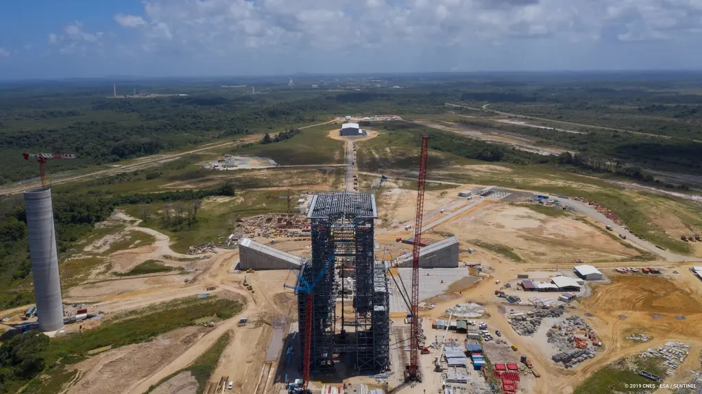
The Ariane 6 launch complex construction, filmed and photographed from 2018 to 2021
From 2018 to 2021, aerial photo and video campaigns on the ELA4 construction site: fourteen films published by the Guiana Space Centre, photos used by ESA, Espace & Exploration and Latitude 5.
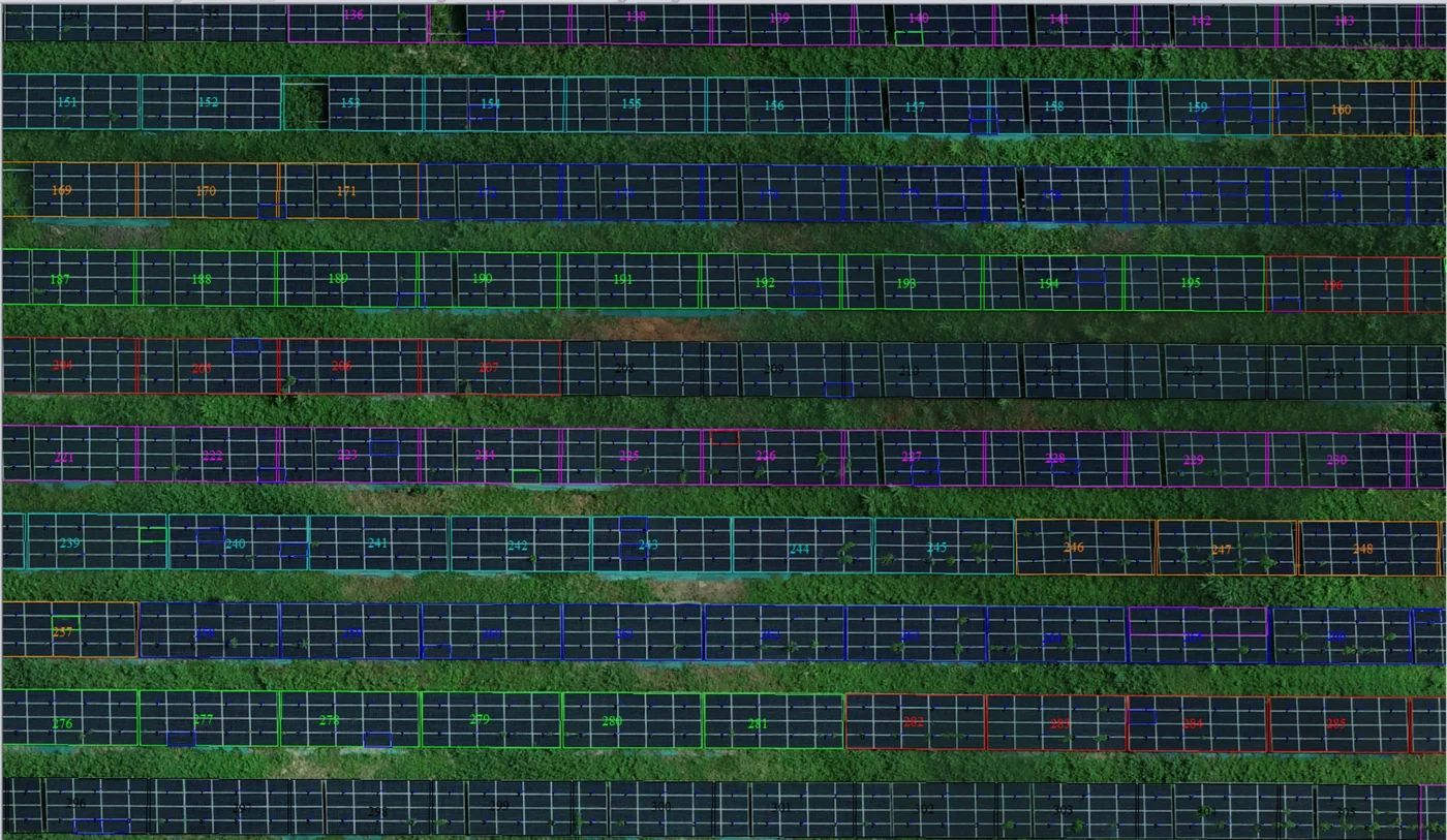
Corossony solar plant: 1,472 concrete footings surveyed at 2 mm per pixel before repowering
A 1:500 topographic plan of the plant in operation in September 2024, then the position and height of each of the 1,472 footings kept for the new structures, in December 2025.
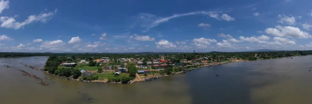
Waste in western French Guiana: eight visits in Saint-Laurent, four Maroni villages at 1 cm
Since October 2024, photos taken from the same viewpoints at every visit to the Saint-Laurent-du-Maroni waste storage facility, with a 3 cm orthophoto and a plan since December 2024; in February 2026, the waste sites of four river villages surveyed at 1 cm.
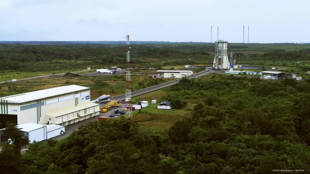
Launch campaigns: fifteen launches covered in Kourou from 2017 to 2019
Aerial photography of the launch complexes during Ariane 5, Soyuz and Vega campaigns, within the windows authorised by the base: fifteen launches from December 2017 to December 2019.
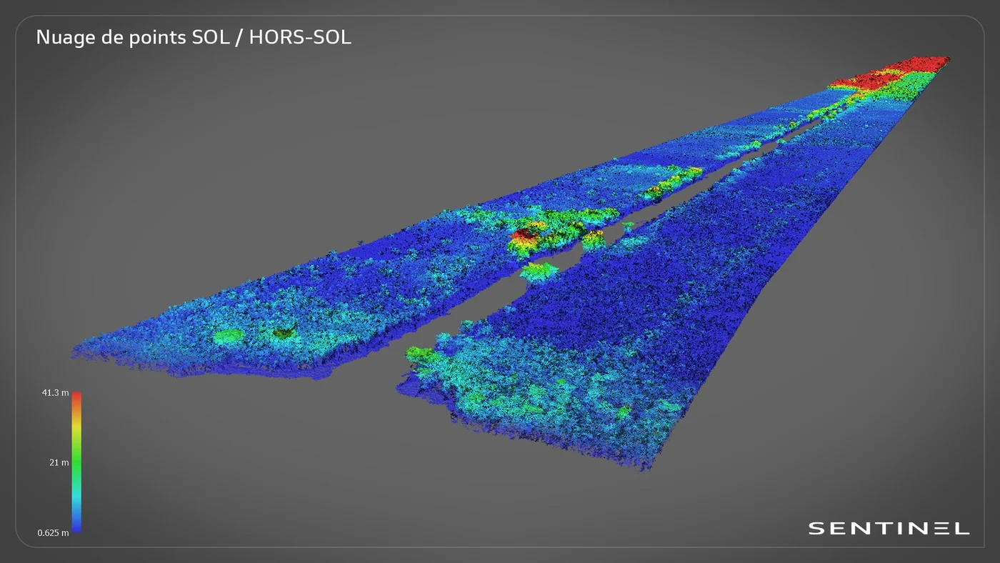
Roy canal: 7.7 km of LiDAR from a dugout canoe, in the Kaw marshes
In late June 2024, in the Kaw-Roura marshes nature reserve: a 7,700 m by 200 m corridor surveyed from the boat, 155 million points and the ground restored beneath the vegetation.
Your contact
French Guiana3 rue Gramme
97310 Kourou
French Guiana
Frequently asked questions
Can you fly near the Space Centre or Cayenne airport?
Yes, with the corresponding procedures. We file the requests specific to the Space Centre areas and the air-traffic-control requests for the Cayenne zone; allow one to three weeks depending on the area.
Do you work in the inland communities?
Yes: we have surveyed Saint-Élie, Maripasoula, Grand-Santi, Papaïchton, Apatou, Régina and Kaw, by pirogue, 4×4 or plane depending on access.
What are your lead times?
A simple mission around Kourou or Cayenne can be scheduled within days; standard deliverables (orthophoto, point cloud, thermal report) are delivered one to two weeks after the flight.
Tell us about your project
Location, area or structure, expected deliverables and timing: with these details we can propose a method and a quote.
97310 Kourou
French Guiana
Route des Trois-Îlets
97229 Les Trois-Îlets
Martinique
20030-041 Rio de Janeiro – RJ
Brazil