
- Home
- French Guiana
- Upper Maroni
Upper Maroni
The villages of the upper Maroni are reached by plane or pirogue, and drone flights there are coordinated with aerodrome traffic: for the February 2026 mission, the authorisation request covered the flight schedules of Saint-Laurent, Grand-Santi and Maripasoula. From 2 to 4 February 2026 we surveyed five waste-site areas in Grand-Santi, Maripasoula, Papaïchton and Loka for the Western French Guiana community of communes: volume plans delivered on 10 February, 1 cm orthophotos on the 11th. In April 2022 we surveyed by LiDAR, from Grand-Santi, the footprint of a project for an energy producer (terrain, surface and height models, contour lines), and in 2019 two georeferenced maps of Maripasoula for a design office.
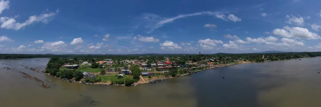
Key facts
| February 2026 | 5 areas in 4 villages, 1 cm orthophotos, waste-site volumes |
|---|---|
| Missions listed | 1 |
On the map
One mission at this location
1 cm orthophotos and volume surveys of the waste sites of four Maroni villages
From 2 to 4 February 2026, five areas in Grand-Santi, Maripasoula, Papaïchton and Loka, positions recomputed on the permanent GNSS network. Volume plans delivered on 10 February, with a written caveat on the reliability of volumes under vegetation; 1 cm orthophotos sent on the 11th.
- 4 villages
- 1 cm per pixel
Tell us about your project
Location, area or structure, expected deliverables and timing: with these details we can propose a method and a quote.
97310 Kourou
French Guiana
Route des Trois-Îlets
97229 Les Trois-Îlets
Martinique
20030-041 Rio de Janeiro – RJ
Brazil